Location : South of Ajo, AZ in Organ Pipe National Monument, and west thru the desert to Yuma
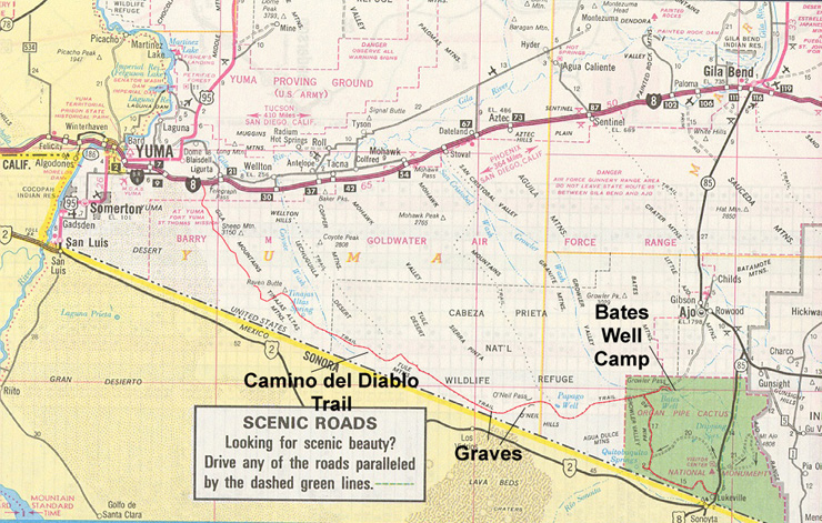
Notes and Comments : We have been to Organ Pipe several times. The photos show an amalgam of two trips. The first trip was Kathleen and I and we camped in the Park and north at at the Bate's Well site. The second trip, we went from the park to Quitobacquito Springs, past Bate's Well and then west to Yuma over the Camino del Diablo. The CDD trip is nearly 120 miles of desert. There is NO open water between Quito and the Colorado River. In the three times we have done this trip, once with the S-10 Blazer, once with the F250 and once with the U1300, 2 of the three times we did not pass another vehicle on the 2 day trip. The route is shown on map below in red and generally follows the boarder. Click on map for full size view.
Map of the Camino Del Diablo. The trail spans nearly half of southern Arizona.
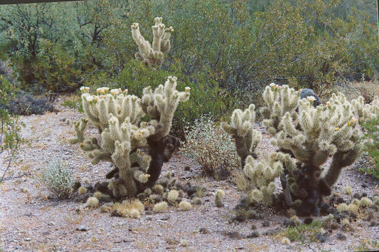
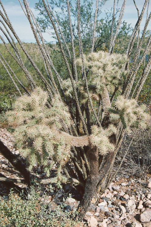
Golden Cholla. Cholla is not your friend. Very nasty.
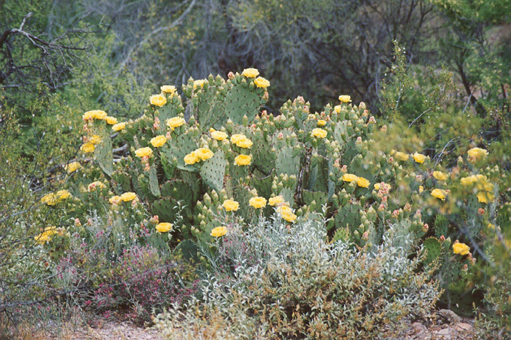
Prickly Pear in bloom.
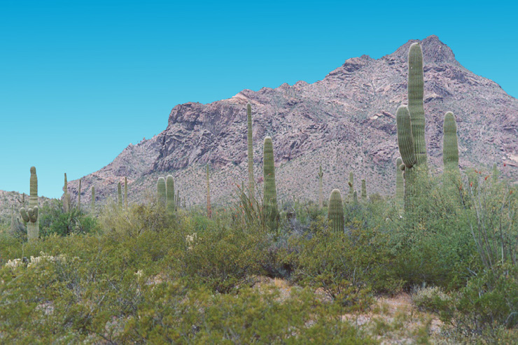
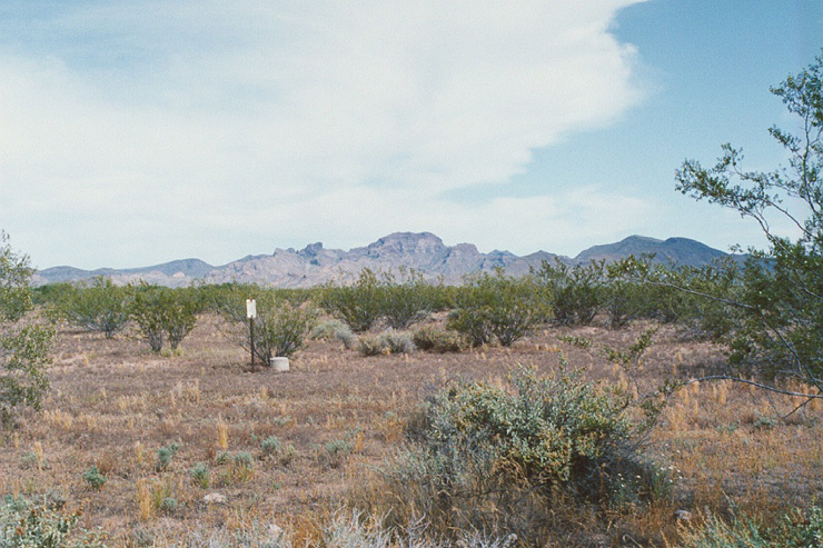
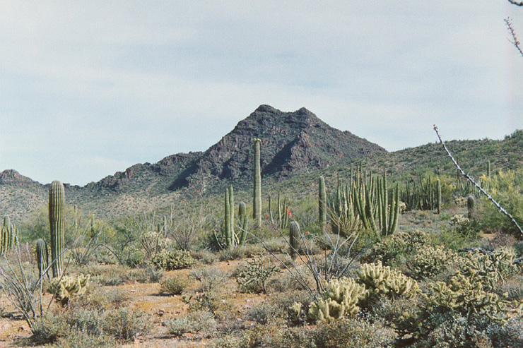
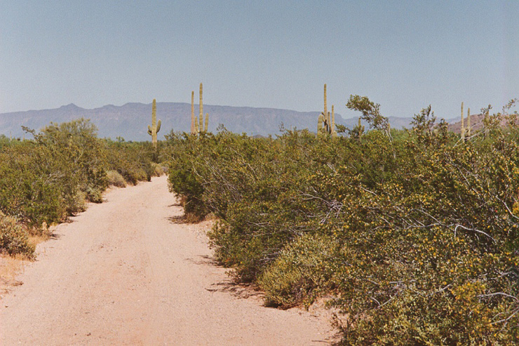
Desert mountains along the Camino del Diablo in Organ Pipe National Park.
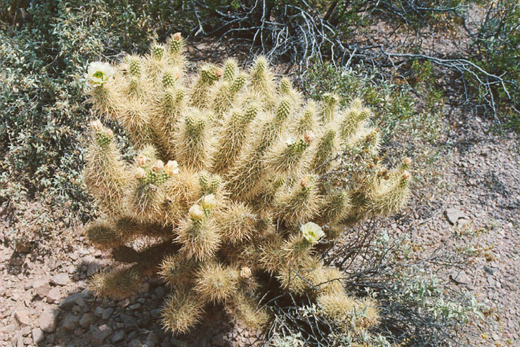
Cholla in Bloom.
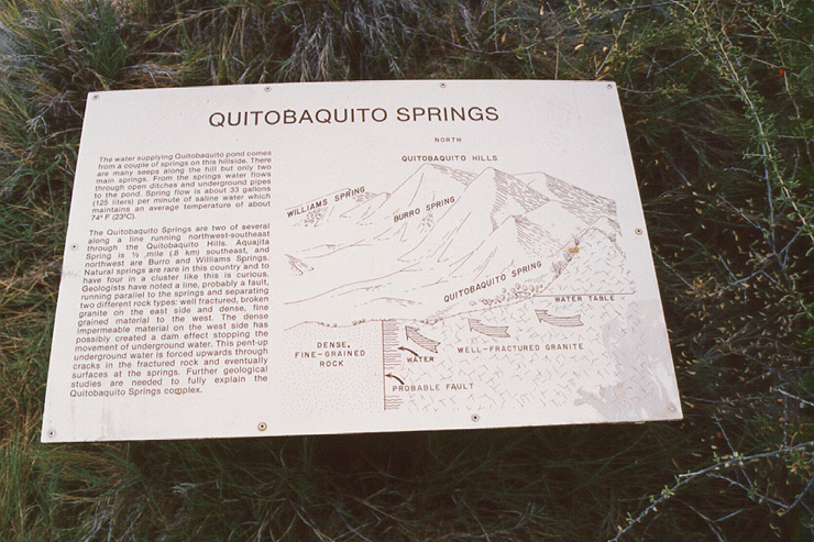
Quito is the only open water for (at least) 50 miles and every direction. This is a saline springs, so it is not refreshing to drink , but life saving in an emergency.
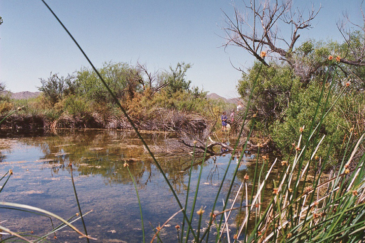
Quitobaquito Springs.
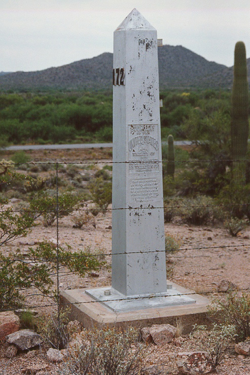
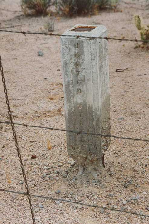
U.S. Border Monument. Cast iron with individual numbered plaques.
The Mexican counterpart. Note the spalled concrete at the base.
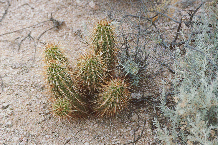
Long thorned cactus.
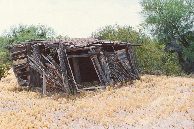
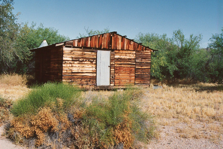
An abandonded shelter near Bates Well.
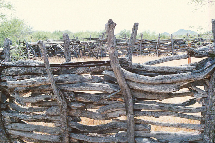
Horse corral at Bate's Well.
USGS survey markers that follow the old Camino del Diablo. The markers spanned the entire distance from Ajo to Yuma. This used to be the southern route to California.
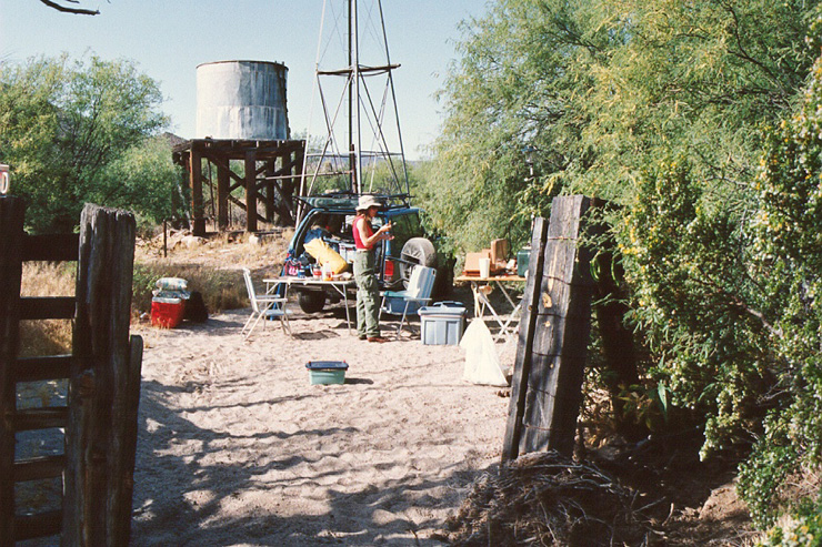
Camping at Bate's Well. The NPS tore all this down.
Structure at Bate's Well.
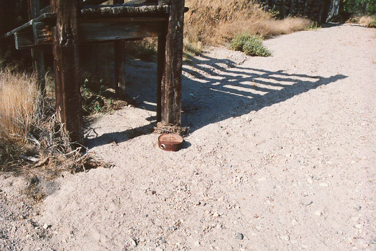
Stock ramp at Bate's Well with lost canteen.
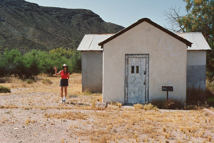
Kathleen at the ranch at Bate's Well. Note plaque to right of door.
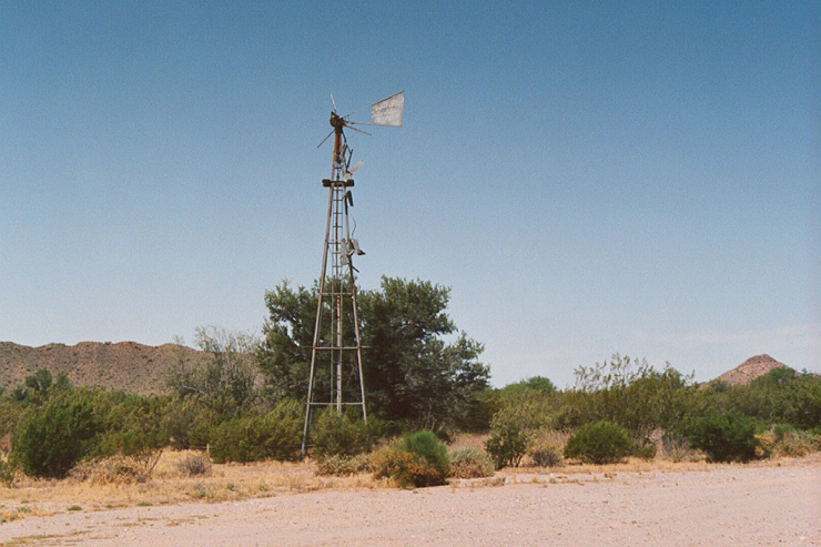
Delapidated windmill at Bate's Well.
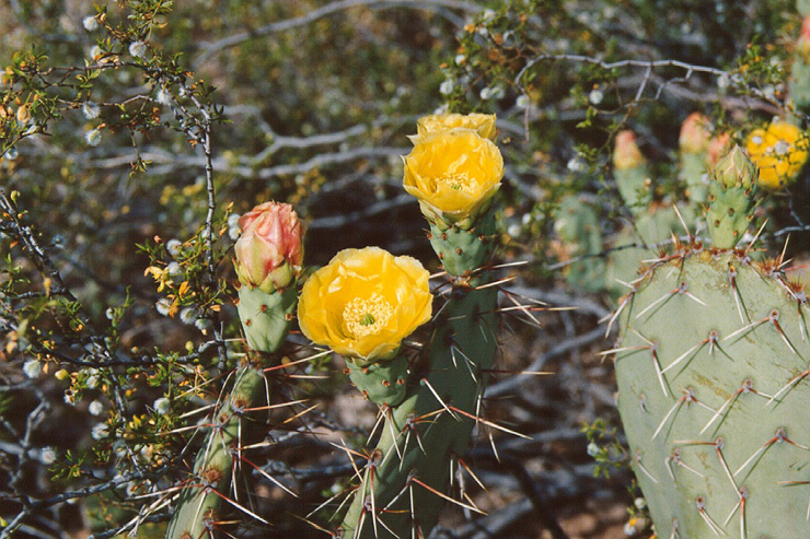
Prickly Pear flowers.
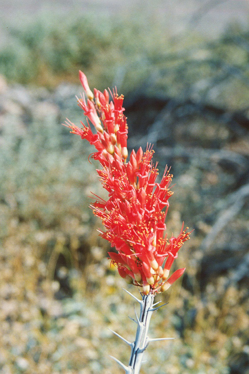
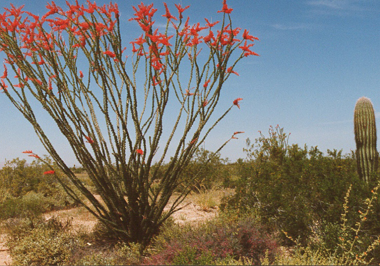
Ocotillo in bloom.
Brothers in arms.
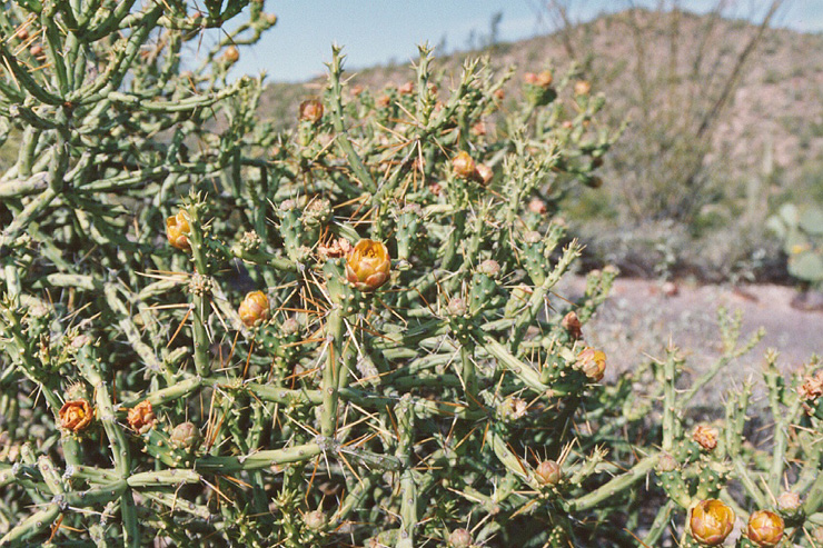
Pencil Cholla in bloom.
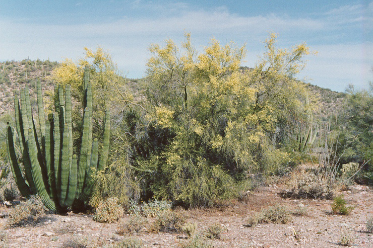
Organ pipe cactus with Palo Verde in bloom.
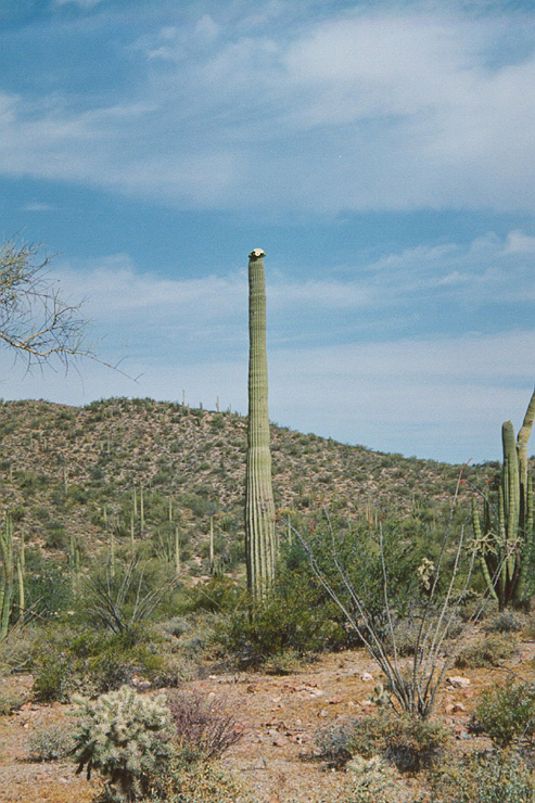
Sahauro in bloom.
Desert flora.
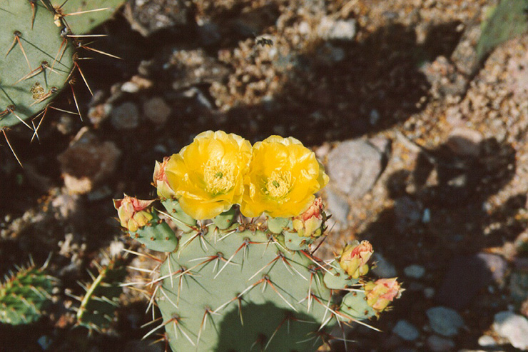
Prickley Pear flower.
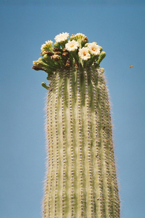
Note the bees to the right of the sahauro flowers.
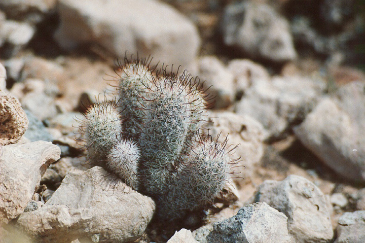
Pin Cushion cactus.
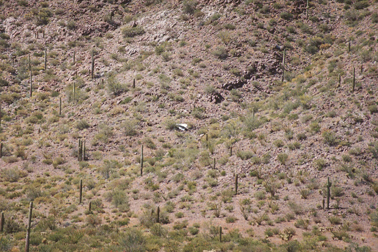
Bomb tail fins on Goldwater Bombing Range, on the Camino del Diablo. This has since been removed.
Sandy part of the trail in the Cabeza Prieta Wildlife Refuge.
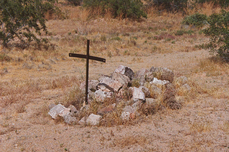
Death on the Camino. This is one of several graves visible from the trail. This one, however, is unmarked.
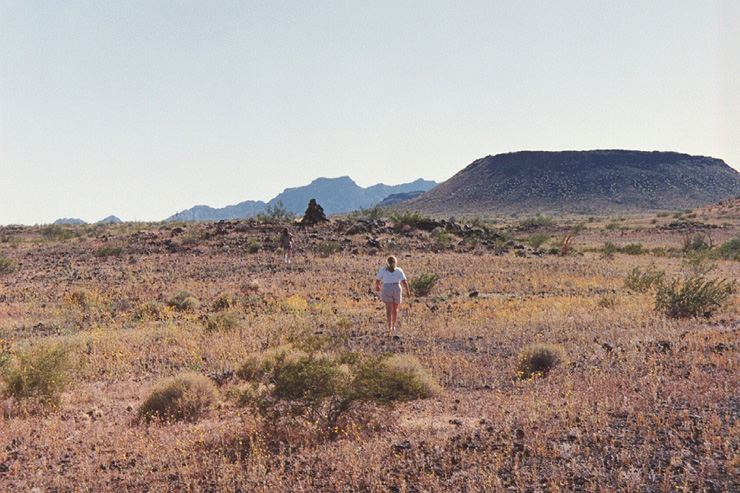
Sandy is walking toward a second grave. The pile of stones left of center is the monument. This is close to Los Pinacates vocanic crater in Sonora, Mexico. Note cinder cone on right.
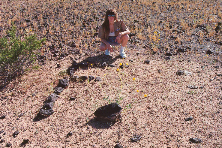
Part of the label on the second grave. The label is too big to be taken in in one photo
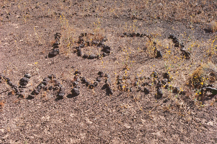
Second part of the name. Looks like NAMEER 1871.
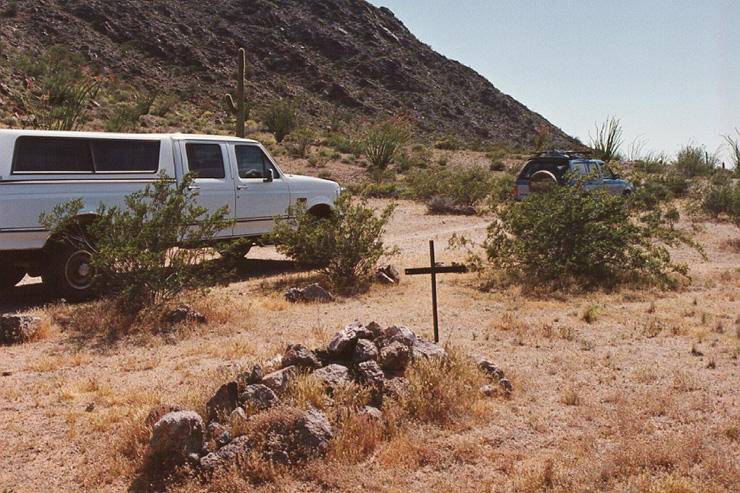
The Camino del Diablo got it's name for a reason.
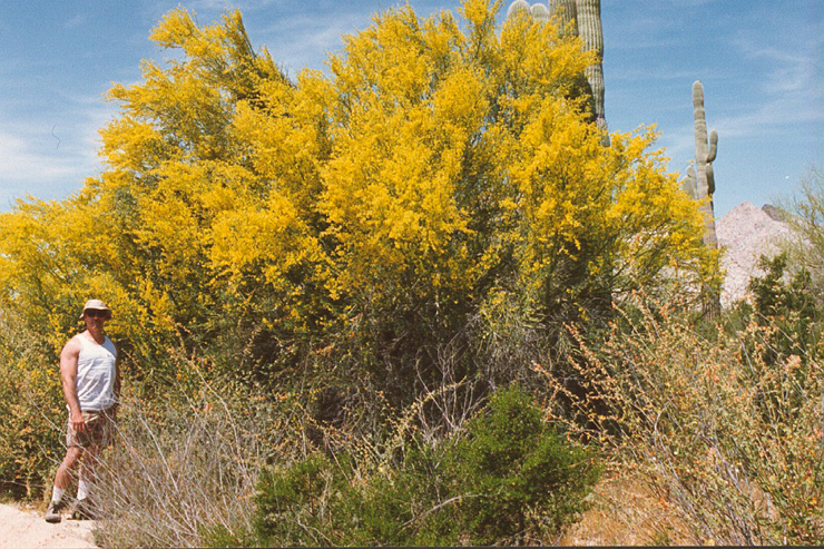
Palo Verde in full bloom.
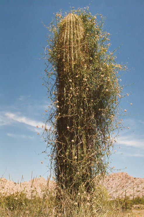
A sahauro covered with vines. Very unusual
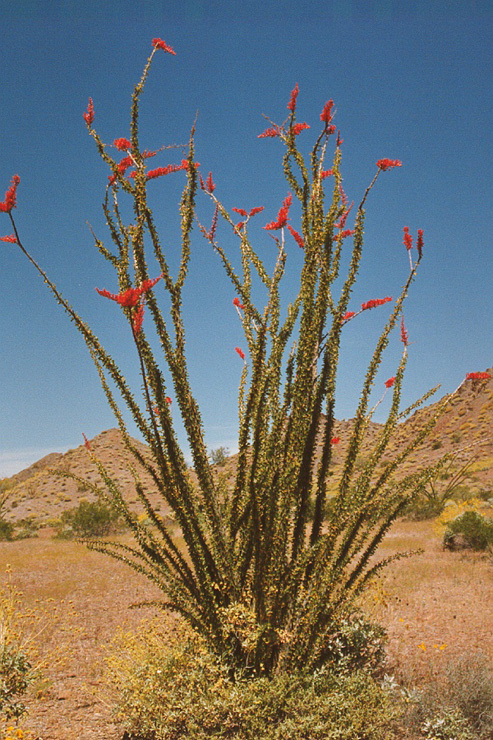
Ocotillo with bright red blooms.
Brittle bush at foot of ocotillo.
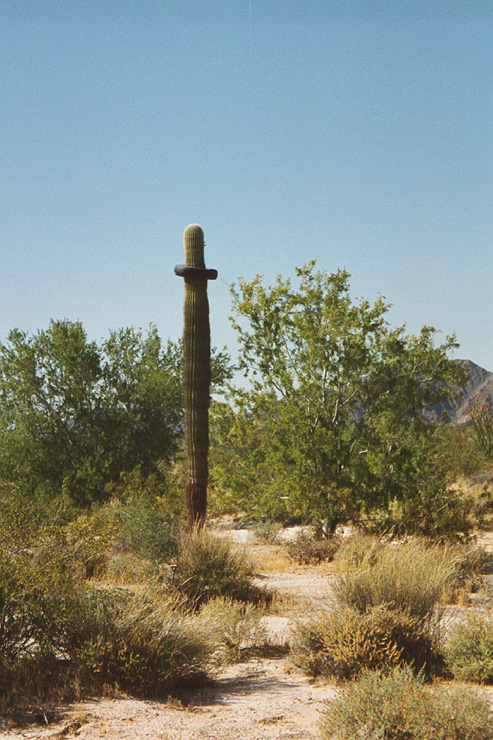
The tire was at least 20' off the ground. So either the tire was very old and the sahuaro grew to that height or it was placed there by someone in a large vehicle. There were no tracks on the ground, but that is inconclusive.
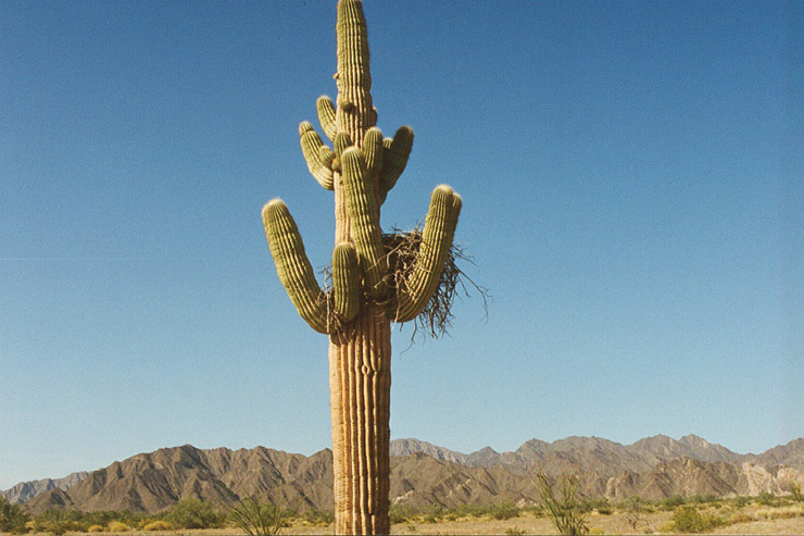
Nest of a very large bird, probably an aguilla (eagle).
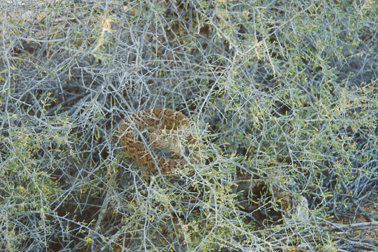
Big trouble in the bushes. He was ready for us, so we afforded him wide berth.
Personal contact info: bcaid "at" san "dot" rr "dot" com Read the email address and form it yourself. Link not included due to spam email address harvesters.
All photos and narrative text Copyright (c) Bill Caid 1977 to 2004
All rights reserved.