Day 1 would be a long day of travel and would take us from San Diego to Los Pinacates in northern Sonora, MX. We started at 0600 and would travel to sunset around 1800 -- a full 12 hours.
Our route took us out Interstate 8 from San Diego to the Mexicali East Border entrance, then east to San Luis del Rio Colorado, then easterly to the northern entrance into the Pinacates Park. From there, we took the dirt road south to El Elegante Crater and then to the camp site.
The photos below are what we saw. These shots are reduced from the full size of the digital camera to 800 pixels wide in deference to those readers that do not have "full size" screens.
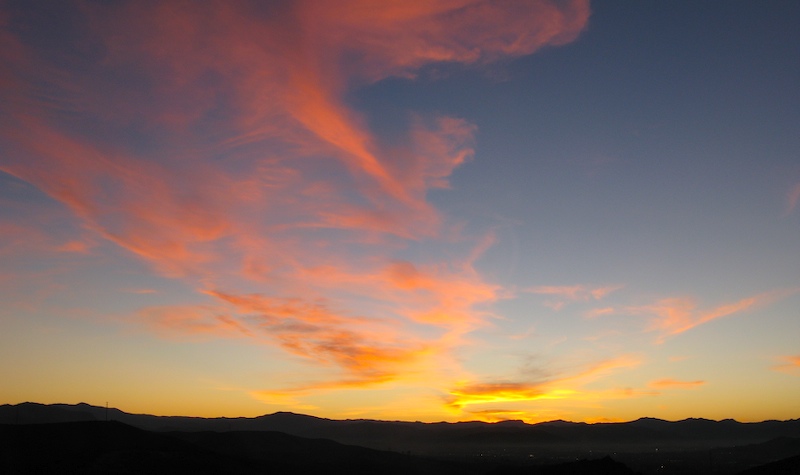
The early start afforded us a great sunrise as seen out the front window of my Unimog coming over the crest of the hill into Santee.
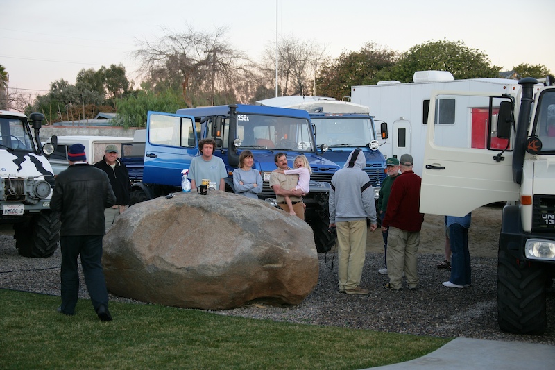
We gathered the group at Kai's new house. There was a LOT of hardware in this driveway this morning.
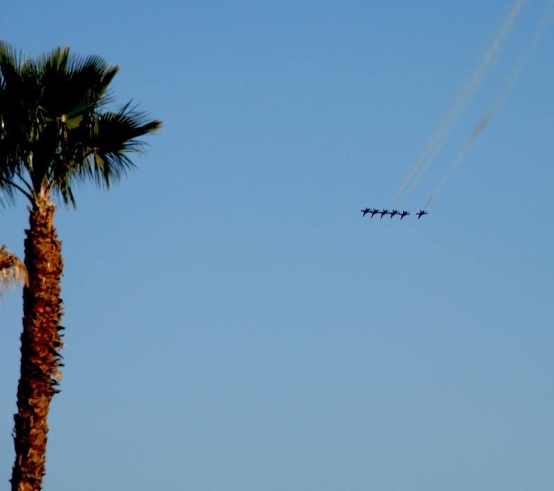
The Navy's Blue Angles practice at NAF El Centro in the "off season". Here, they fly past us in a salute to a good trip.
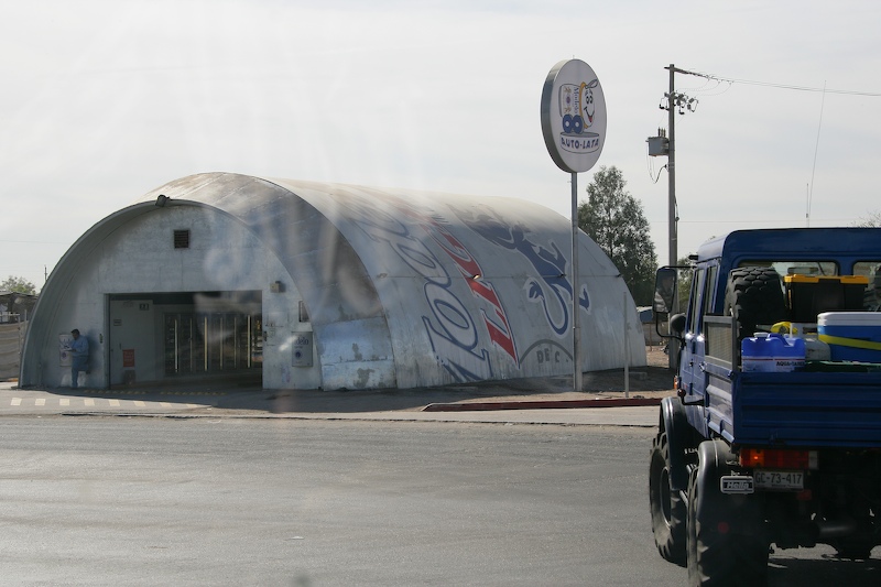
The border crossing was a snap. We then proceeded to Hwy 2 toward San Luis. Here Roberto passes a drive-in liquor store in the shape of a Modelo beer can.
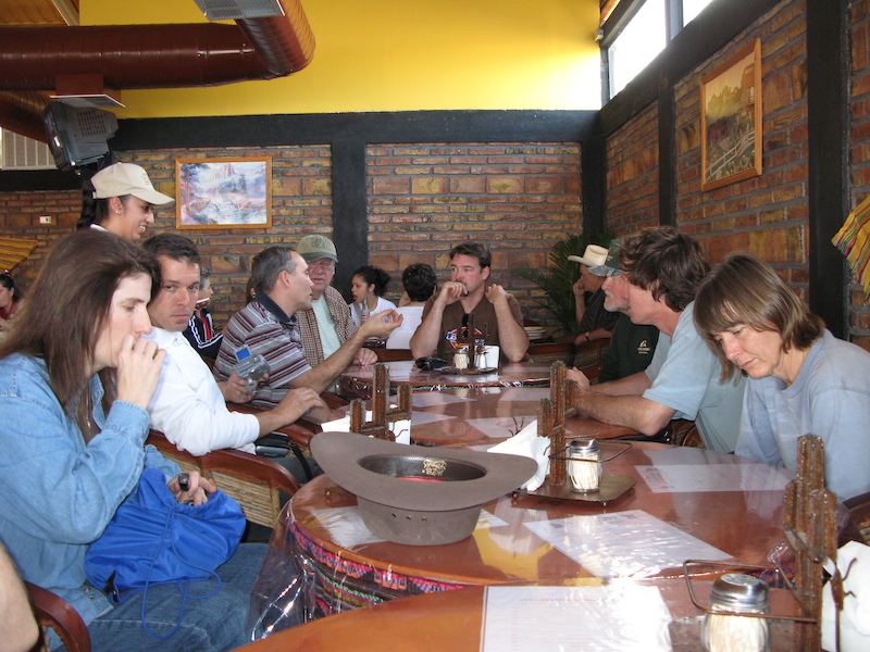
We ate at Birrerira La Tatema in San Luis. The food was excellent and reasonably priced. In our group, from left to right: Kathleen, Xavier, Roberto, Ron, Mike, Larry, Matt and Nancy.
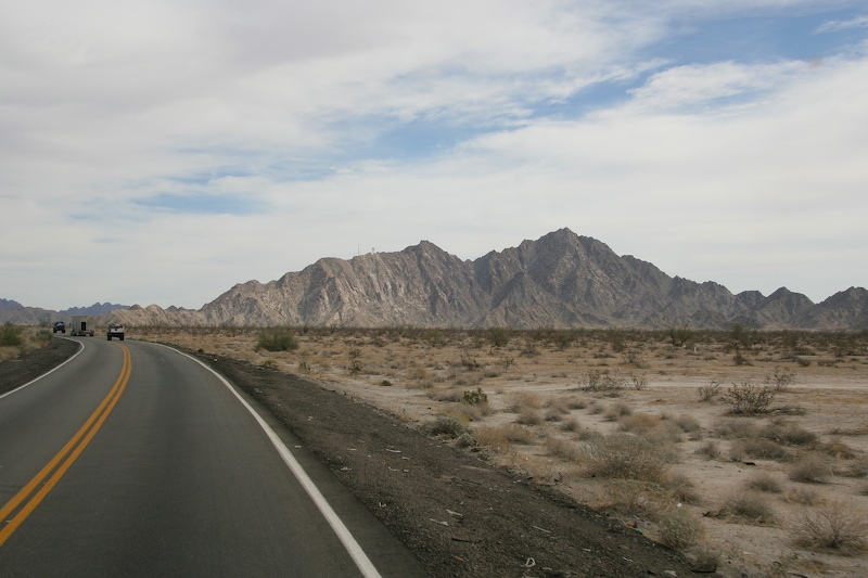
East of San Luis, the desert mountains rise abruptly from the desert floor. They are rugged and harsh.
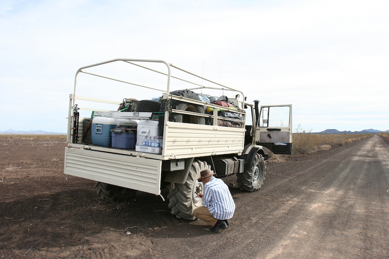
Airing down to be trail-friendly and prevent wash boarded trails. Plus, it is driver friendly as the low air pressure greatly smooths out the ride. For this road, we traveled at 20 psi. For the dunes, we were generally at 11 psi.
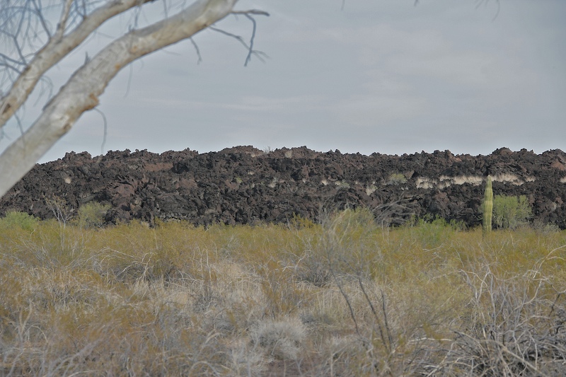
The north end of the Pinacate lava flow.
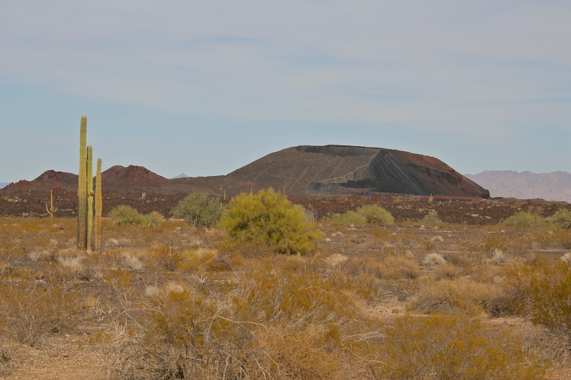
There were large cinder cones all around the main peak.
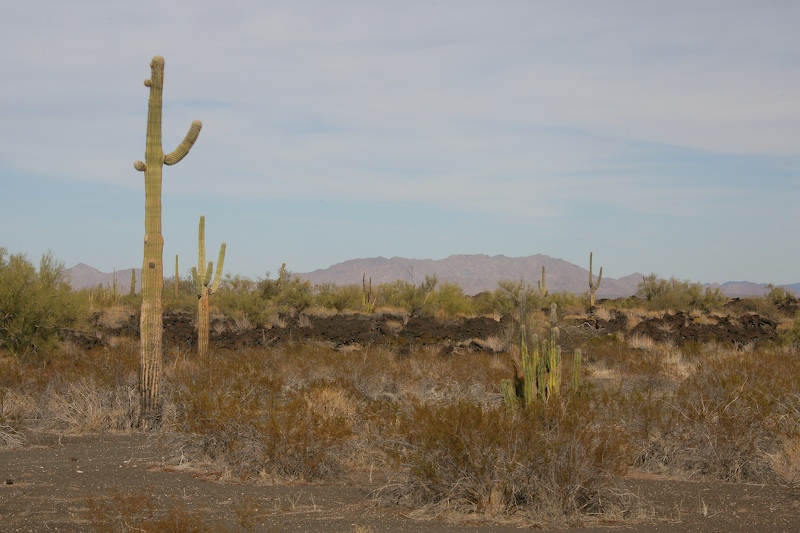
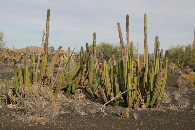
The lava provided a good environment for saguaros and organ pipe cactus.
The black volcanic ejecta nourished a veritable garden of cholla.
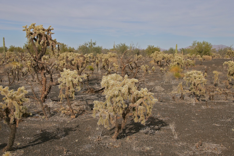
Some of the cholla stands were dense (and dangerous).
Nice Organ Pipe cactus. I can only imagine how hot the dark sand gets during the summer.
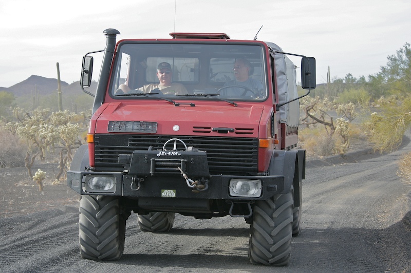
Robert drives while Dan relaxes.
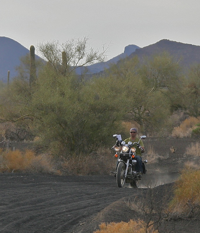
We encountered a seemingly unprepared cyclist.
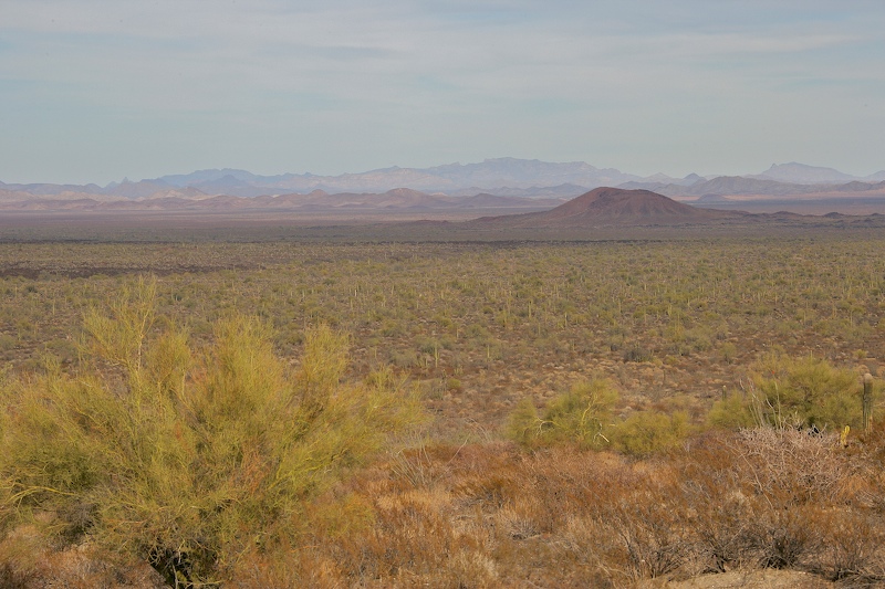
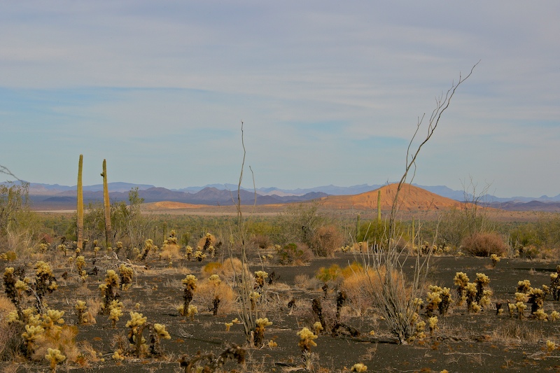
The view from the upper part of the Pinacate bajada was awesome. This is looking to the east.
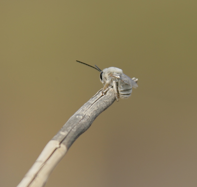
This bee was hitching a ride on one of the trucks.
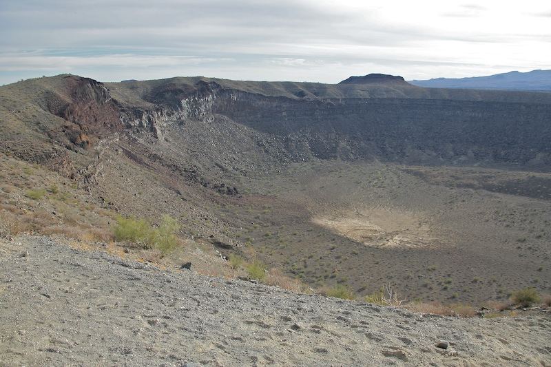
Eastern portion of El Elegante Crater. This is a maar crater that is 1600 meters in diameter and 225 meters deep. This is a BIG hole. The crater was created when rising magma encountered the water table and turned the water into steam. The result was an explosion of thermonuclear proportions displacing cubic miles of materials.
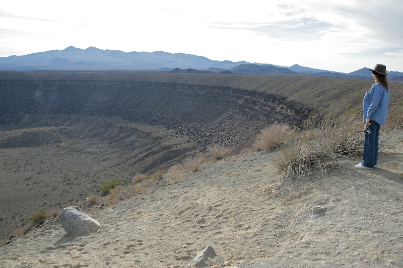
Kathleen admires the west portion of El Elegante. The main peak of the Pinacate is in the distance.
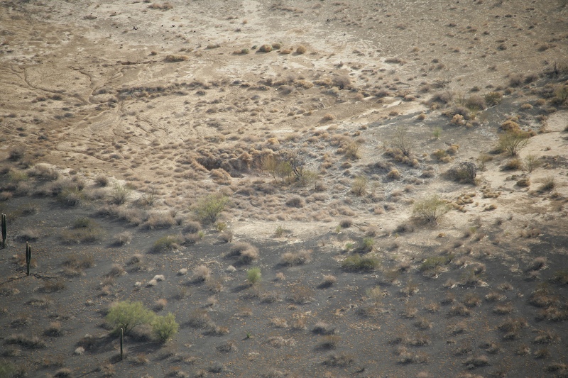
The center portion of the crater had a subsidence area that was another 10 meters deep.
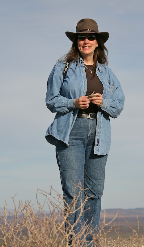
Kathleen enjoys the view.
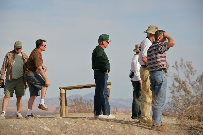
The balance of the team taking in the view.
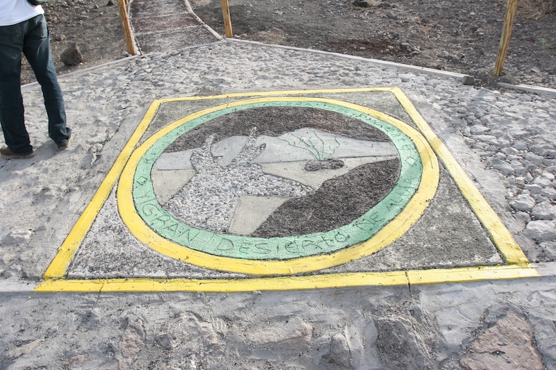
This concrete work was at the entrance to the path to the top of El Elegante.
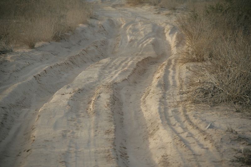
We left El Elegante crater and followed the trail south to the camp area. The trail was filled with flour-fine dust holes that made a satisfying "poof" when you drove through them leaving huge, choking clouds of dust in your wake.
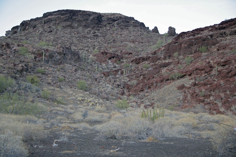
The camp site had a nice view of these volcanic cliffs.
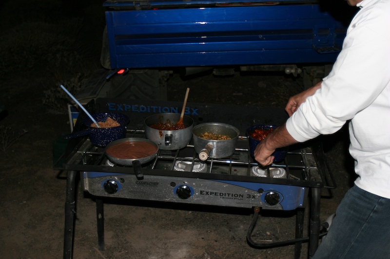
Roberto's wife Adriana was kind enough to provide us pots of home made taco stuffing for easy reheating.
We had a pretty easy day, all told. While the drive was long, the weather was good and the wind was minimal. As we would see the next day, camping in high winds is NO FUN whatsoever. Special thanks to Adriana for the great chow. Roberto, you are the best reheater ever.
| Previous Adventure | ||
| Trip Home Page |
Photos and Text Copyright Bill Caid 2007, all rights reserved.
For your enjoyment only, not for commercial use.