Our objective for the day was to traverse the Providence Range and get to the southern entrance of Death Valley.
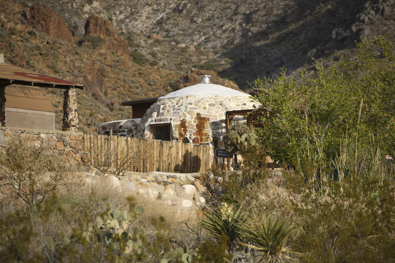
One of the caretaker's residences at Mitchell Caverns.
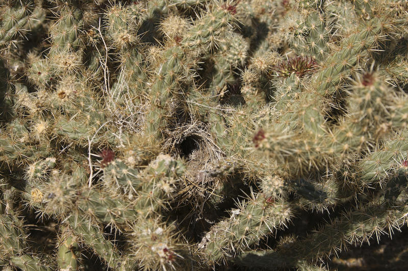
Next to our camp site, I spotted this bird's nets inside the thorns of a cholla bush.
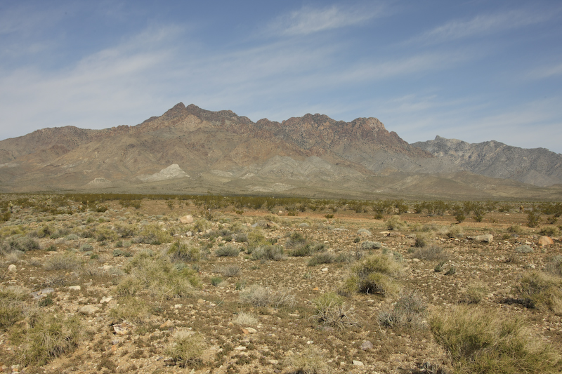
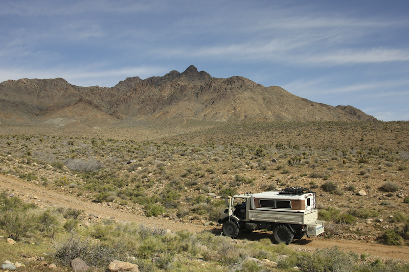
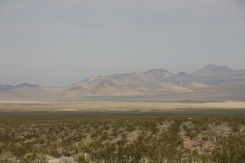
We went south out of the camp site until we came to the pipeline road that follows a natural gas pipeline that crosses the mountains. Our path would only be 15 miles of dirt, but if we took the road it would be over 50 miles. The path was easy to follow, but quite rough. Above is a view of the Providence Mountains as seen from the road.
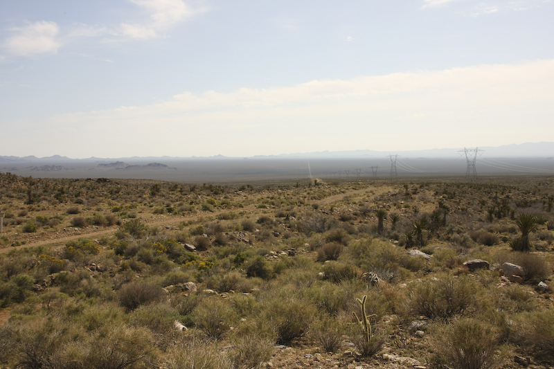
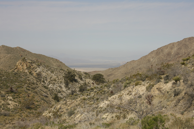
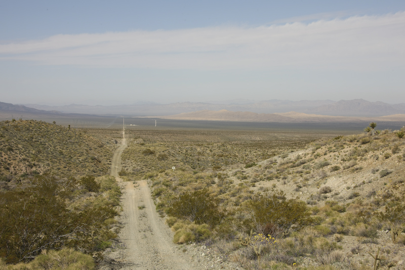
Looking east, the trail disappears into the morning haze and goes over the far mountain range.
A lot of the areas in the Mojave desert were explored by prospectors looking for gold and silver. In the distance, a prospector's road can be seen on the flanks of the Providence Mountains.
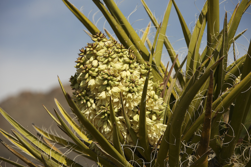
The yucca were in bloom.
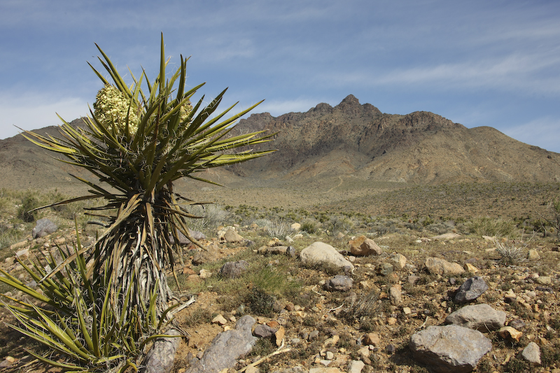
The yucca flowers provided a nice contrast to the pale blue of the sky.
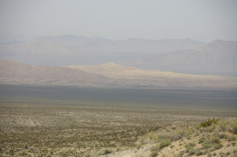
From the crest of Foushay Pass, you can see the Kelso sand dunes and dry lake in the distance. Foushay Pass had some very steep pitches that required low gear and full differential lock.
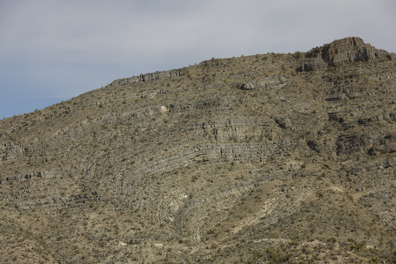
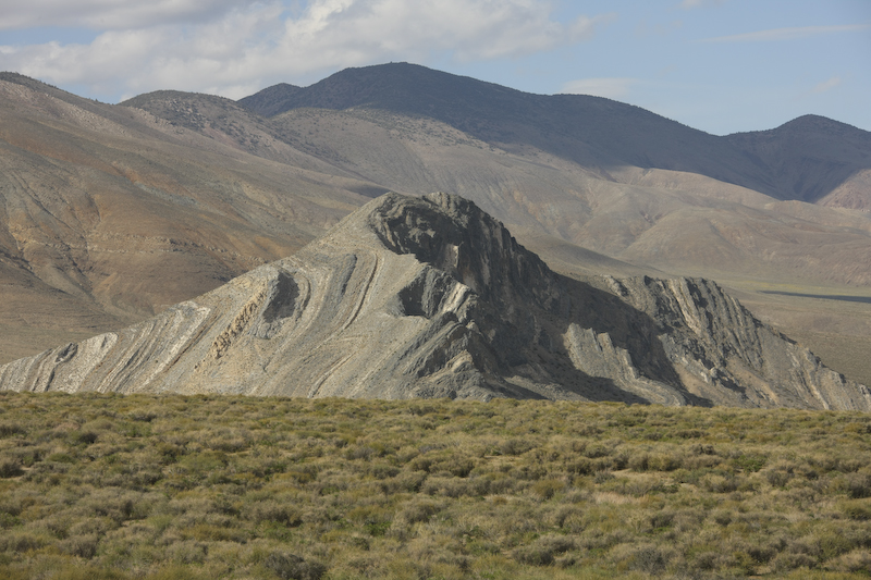
The folding that created the Providence Mountains is clear in this shot of the south flanks of the range.
To the west of Foushay Pass, the pipeline road goes laser-straight into the distance past the Kelso Sand Dunes.
North of the Kelso dunes is a place called "the devil's playground".
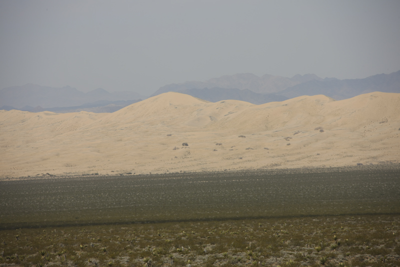
The Kelso dunes are pretty big, but nowhere near the scope of the Altar Desert.
More dunes were visible on the pass heading north to Baker, CA.

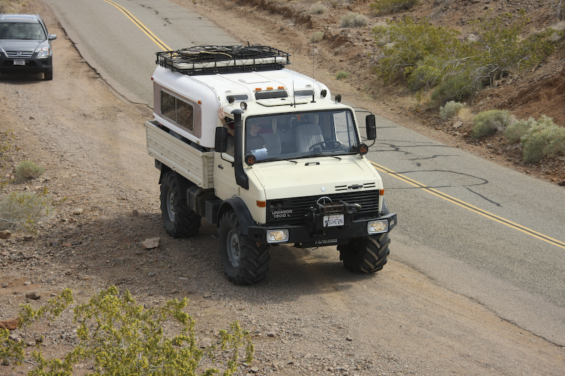
At the fuel stop in Baker, I spotted this nice rig being towed.
En route to Death Valley north of Baker, we came upon these lava tubes.
We pulled over near the crest of the first pass in Death Valley to shoot the flowers. Note how narrow the road is.
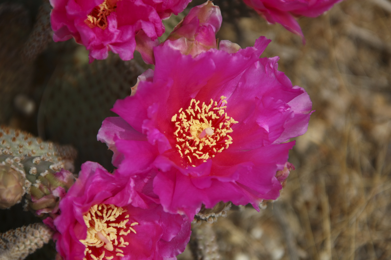
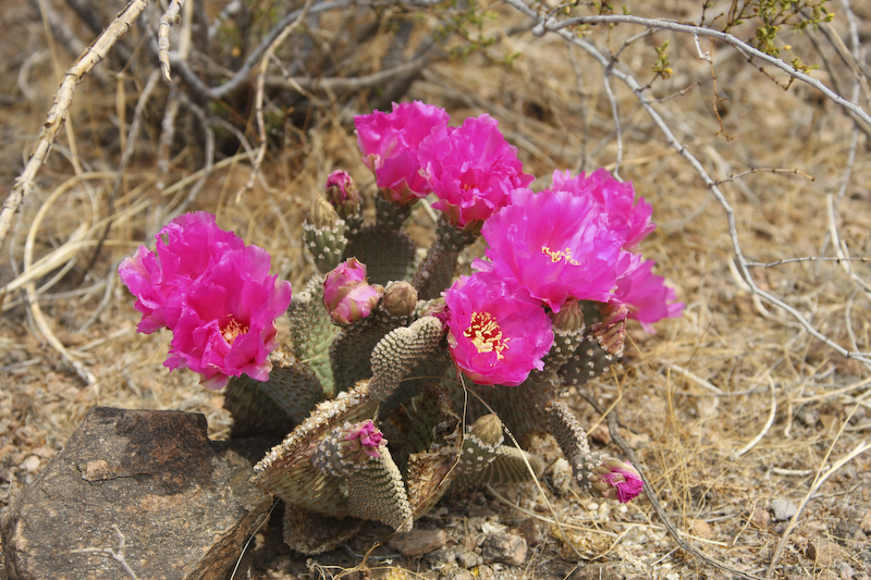
There were nice beavertails in bloom.
The purple flowers are such a stark contrast to the browns of the desert floor.
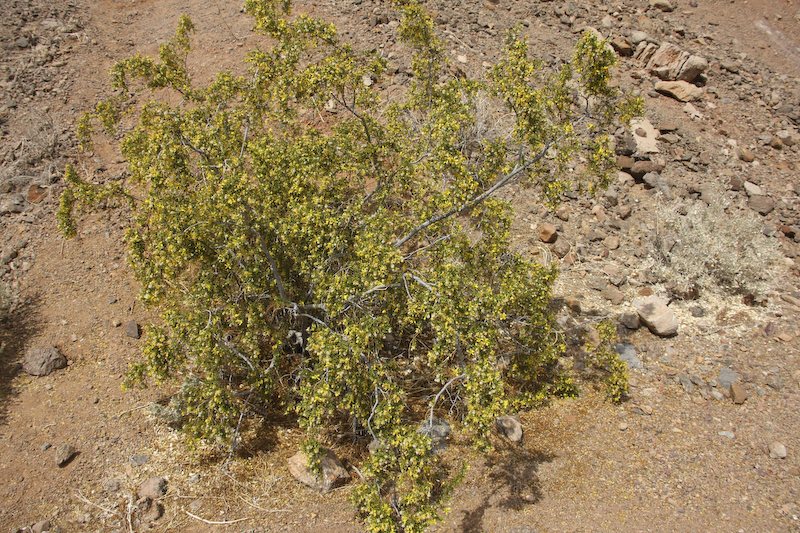
Even the creosote was in bloom with its covering of tiny yellow flowers.
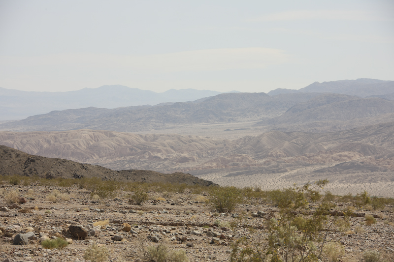
To the south of the pass was a section of badlands and mud hills.
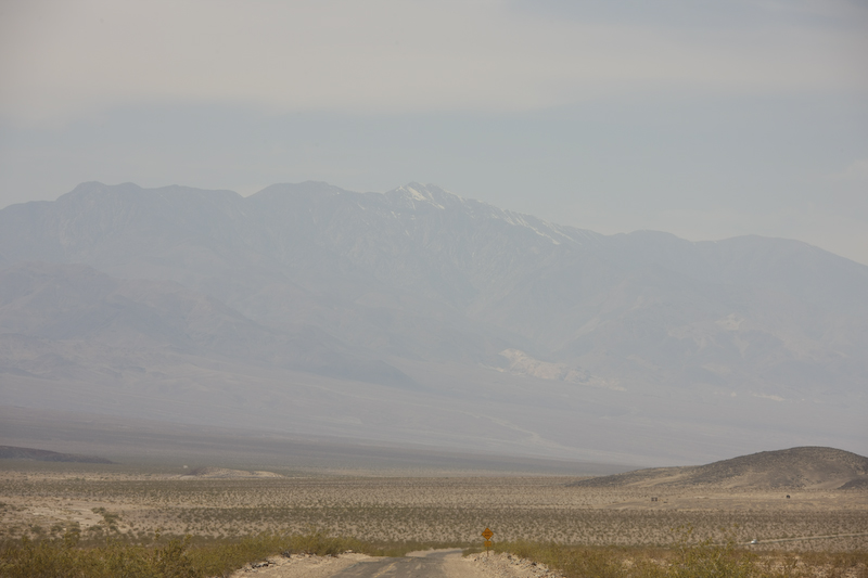
As we neared the start of the next off road portion of our trip, the snow covered peaks of the Panamint Range were visible to the west.
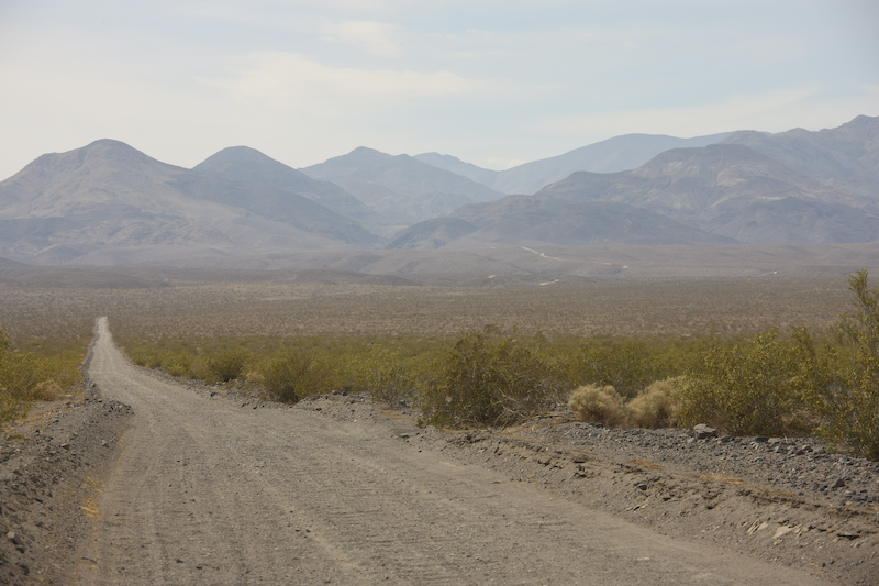
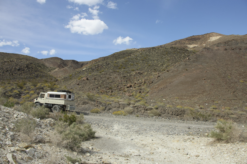
Butte Valley road was our path to the evening's camp site high in the Panamint Range. The road was 20 miles of wash boarded dirt that required reduced air pressure and slow driving to survive. The road heads directly into the Panamint Range from the lower reaches of Death Valley.
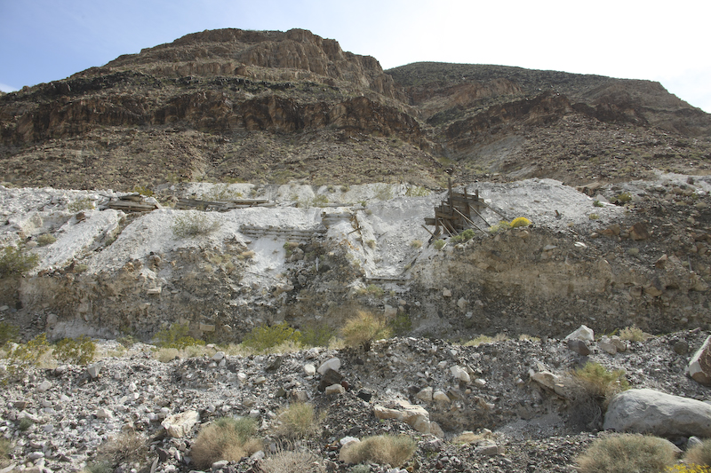
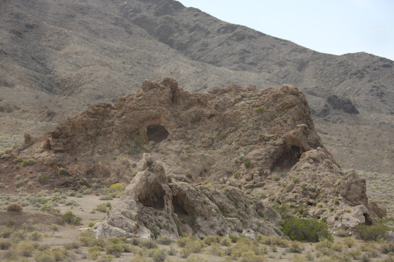
There were a lot of mines in the area. This mine produced talc.
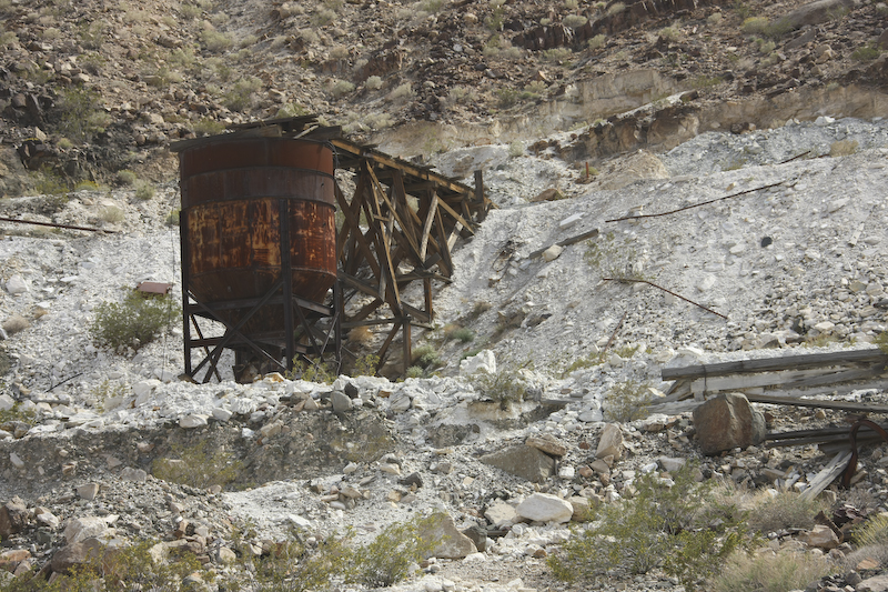
There was plenty of abandoned equipment that was used at the mines.
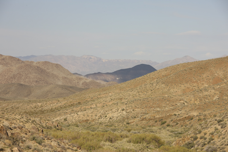
The hills were covered in volcanic ejecta and made the terrain look harsh and forbidding.
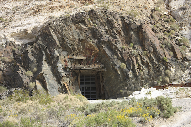
The Park Service has sealed the entrances to most of the mines to protect people from themselves. Most of these old mines are unsafe and subject to cave-ins and have many unmarked hazards. These are best enjoyed from the outside unless you have a death wish.
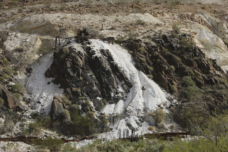
Debris left at the talc mines.
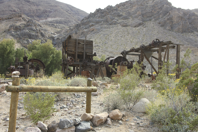
This equipment was steam powered which can be seen from the large wheels that were driven via long belts.
We exited Warm Springs Canyon and passed into Butte Valley. Here is a shot of Striped Butte, the namesake of the valley. At this point, we are at about 4500 feet, so it is pretty cold.
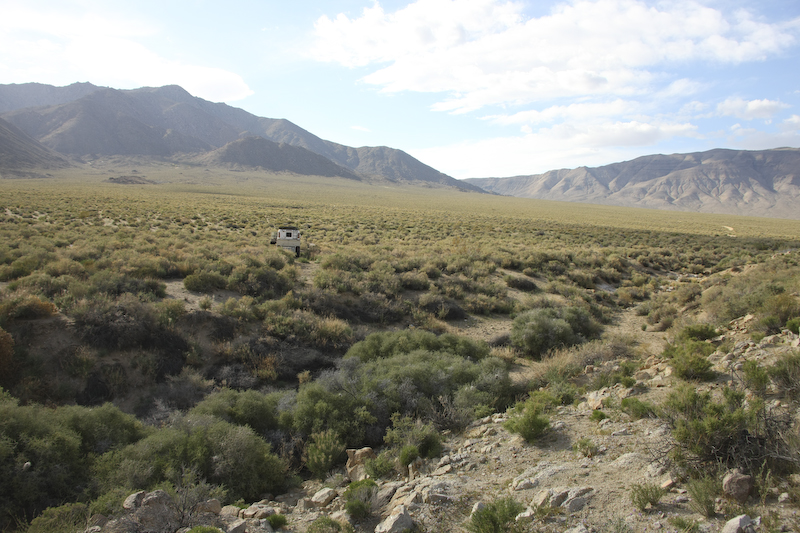
We camped at Willow Springs which was nothing more than a large seep with some brush around it. But, it did produce a reasonable amount of flow which was sufficient for the local animals as we would see the next day.
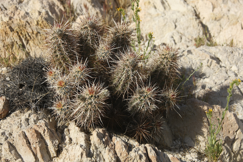
Most of the area was sagebrush, but there were still a few cactus at this altitude.
Through the pass in the Panamints, you could see the Black Mountains across Death Valley to the east.
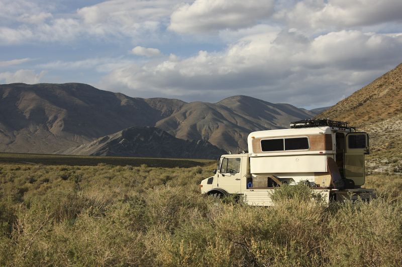
As the sun set in the west, we set up for the night. The wind started to blow and given the altitude, it became cold fast.
The path over Foushay Pass was quite steep and rough. We made it with little trouble and had a great drive north into Death Valley. The diesel in Baker was expensive at $4.29 a gallon. Tomorrow, we would cross Mengle Pass, one of the rougher passes in the park, and descend into the Panamint Valley.
| Previous Adventure | ||
| Trip Home Page |
Photos and Text Copyright Bill Caid 2008, all rights reserved.
For your enjoyment only, not for commercial use.