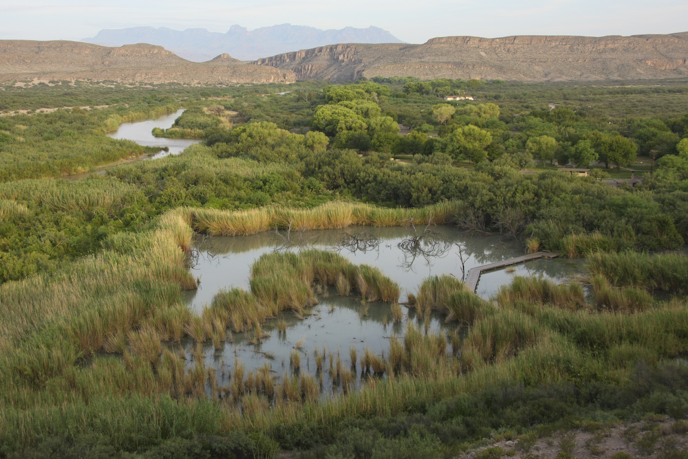
We spent a restful night in the campground at Rio Grande Village. As stated in the previous day's report, we were right next to the river where a number of thefts and robberies had been reported. The ranger told us that when the river was at 3 feet or below, they had robberies. When the river was higher than 3 feet, a crossing was not feasible. I got up early while Kathleen slept and explored the area next to the river. The photos below are what we saw.
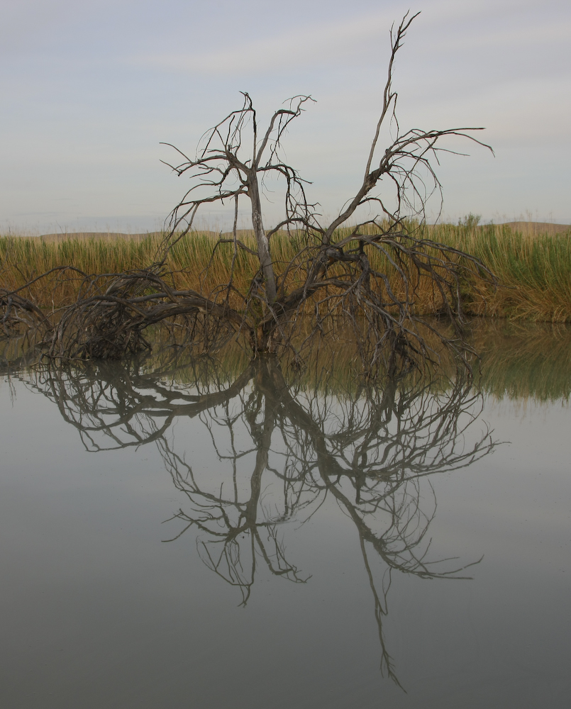
Our campsite was next to a boardwalk and trail that went over a oxbow in the river. The calm waters produced interesting reflections.
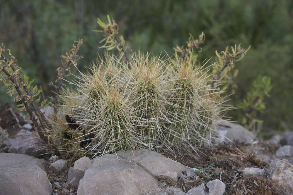
More long-spined friends. These are unforgiving if you fall on them. Ask me how I know.
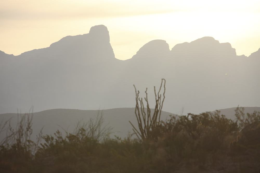
The Sierra del Carmen to the east of us is in Mexico and is a very rugged range. The area is sufficiently unique that the Mexican Government has declared it a preserve.
The oxbow and boardwalk are visible in the photo above.
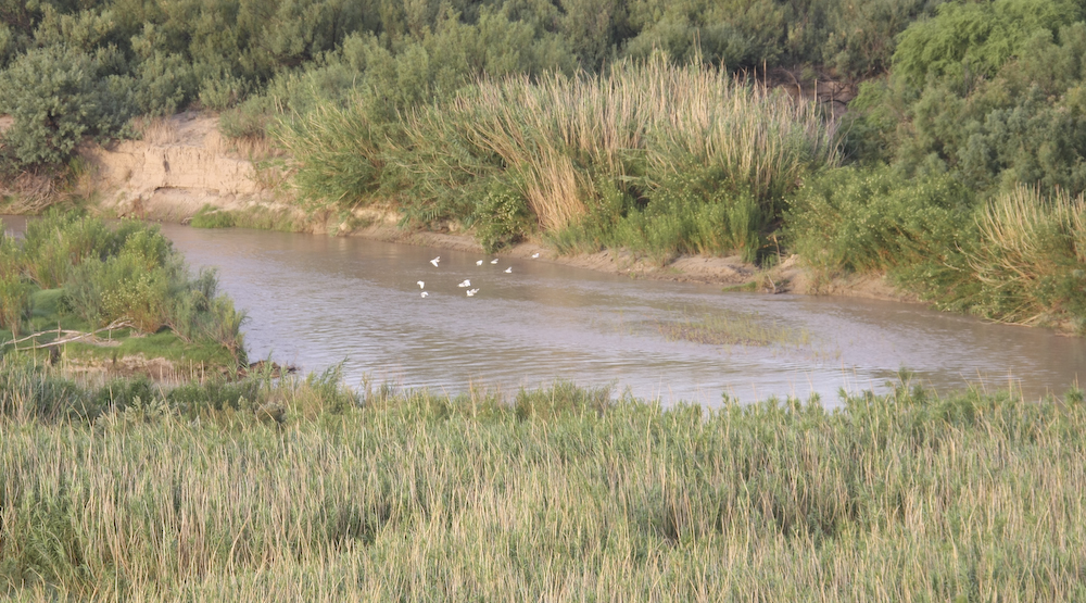
The river supports a variety of wildlife. I managed to catch a flock of birds in flight over the river.
To the south is the (very) small village of Boquillas del Carmen.
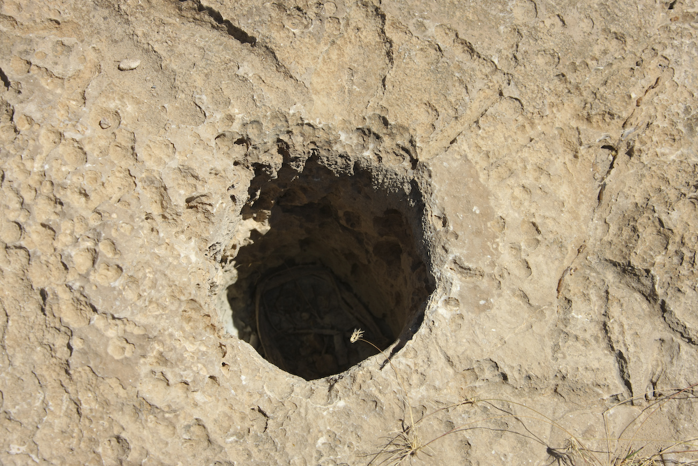
A mortero that was used for grinding seeds my the local indians.
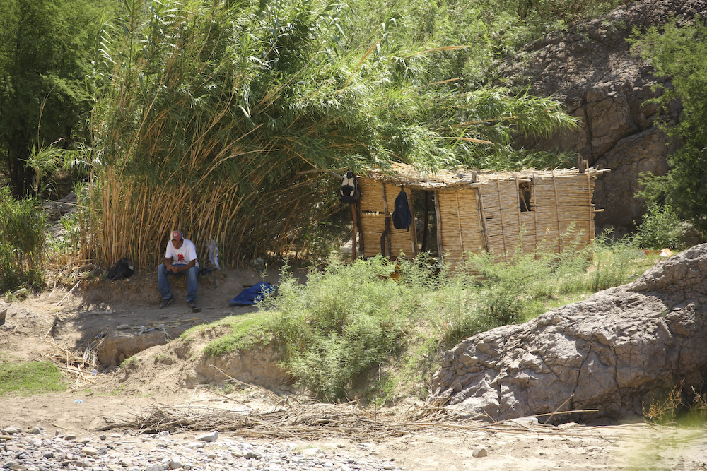
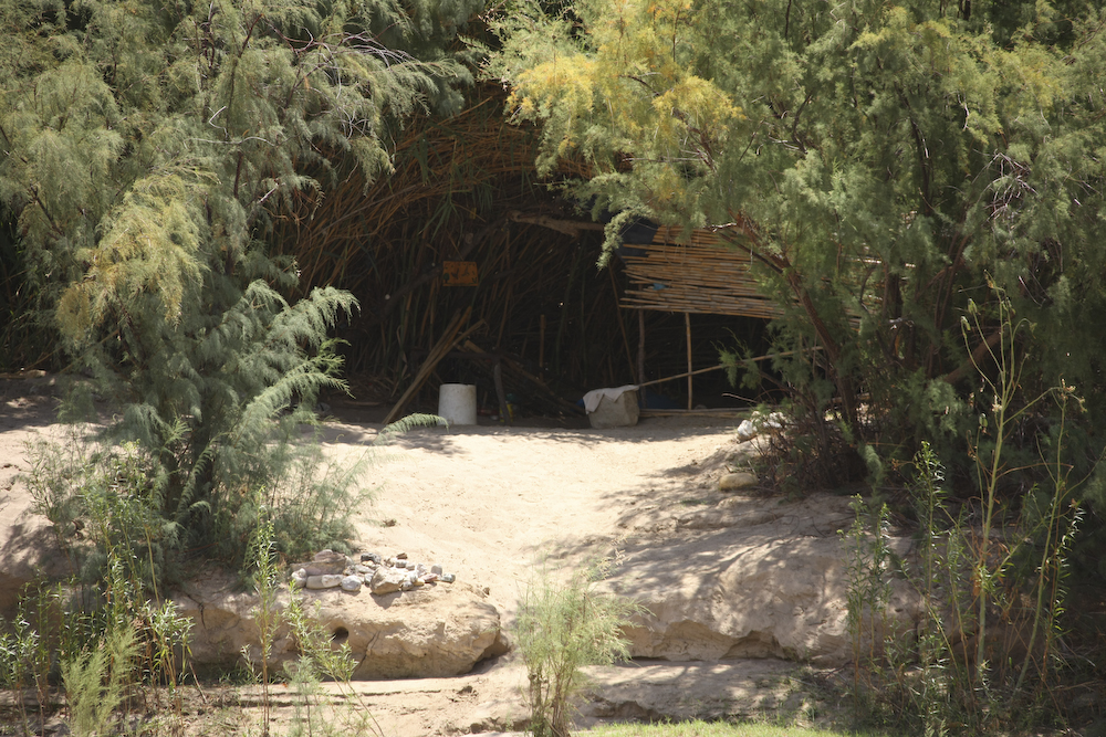
We left Rio Grand Village and went to Boquillas Canyon. There was a bit of a hike to get to the canyon from the parking area, but it was worth it. Here, the river is very narrow and easily crossed on foot. Above, you can see a fellow that lives in that grass hut just across the river from the richest country on the planet.
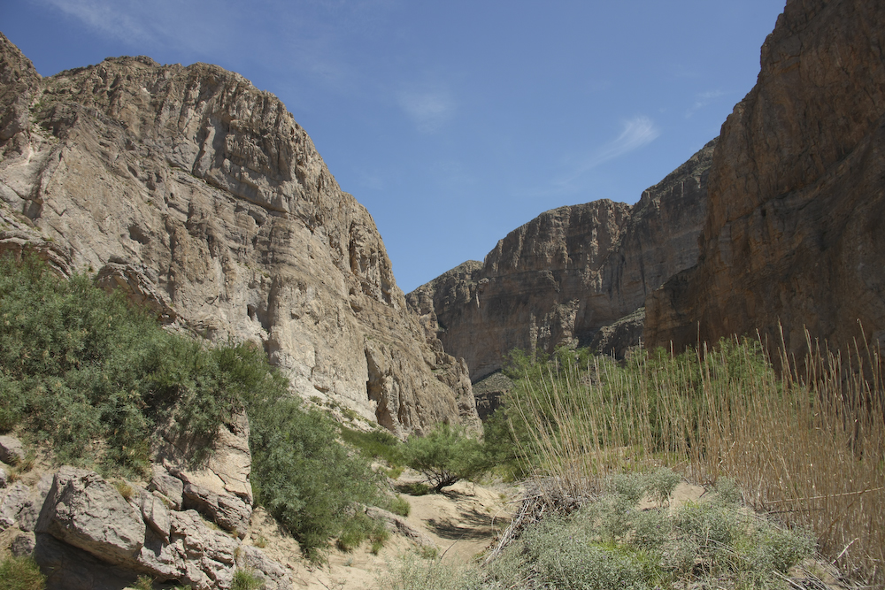
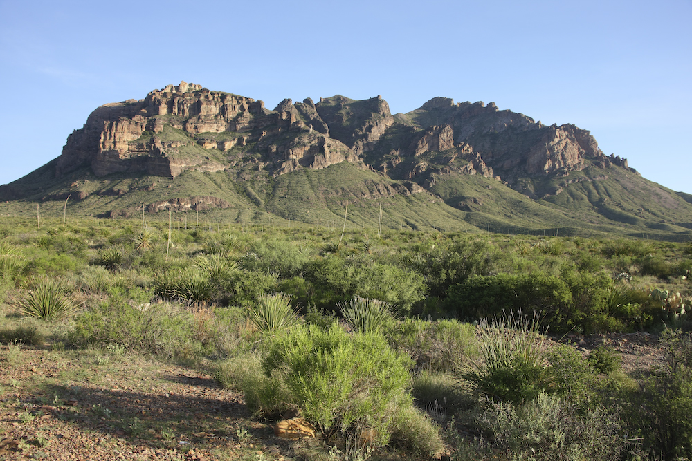
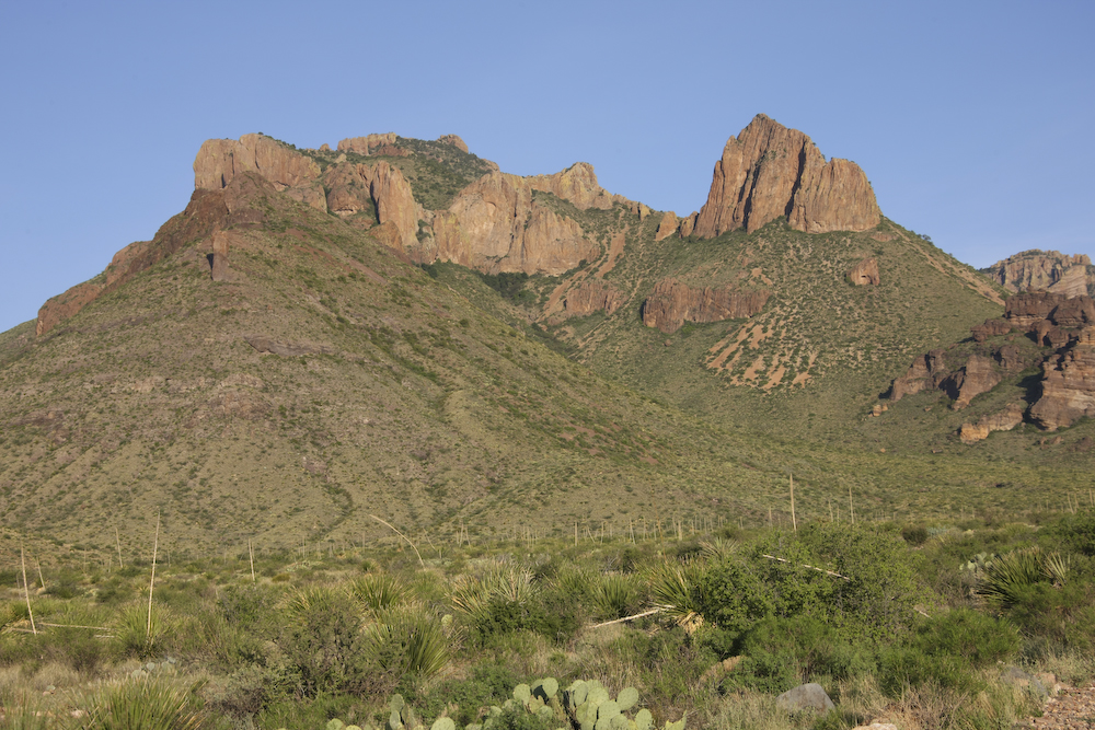
Boquillas Canyon cuts right through the high cliffs of the Sierra del Carmen. The walls are high and steep.
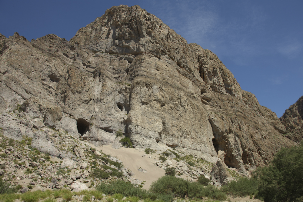
The cliffs of Boquillas Canyon are imposing. The trail on the American side ends when the river hits the cliff.
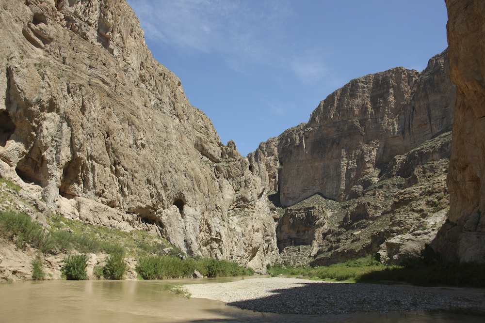
Above, you can see how narrow the river is at this point. The trail stops just past the brush at the bottom of the cliff. The fellow in the hut has horses that regularly cross the river to graze on the American side of the river bottom.
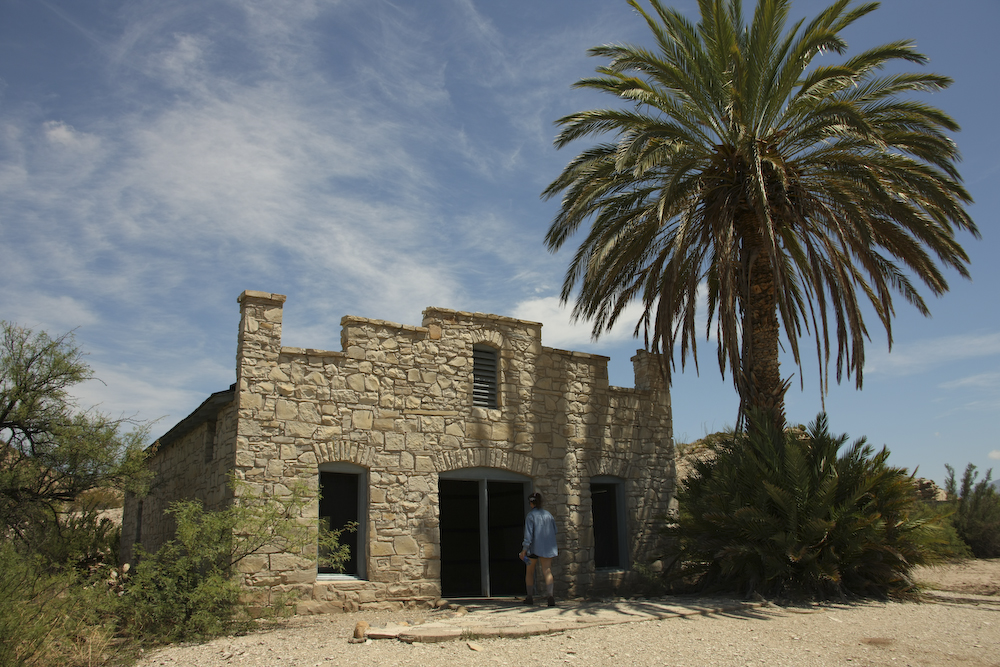
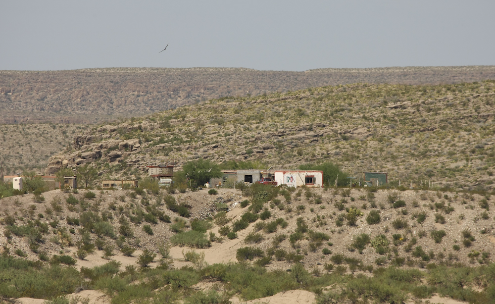
From Boquillas Canyon we went to a set of hot springs that were right on the river. Above, you can see some structures that were abandoned when the NPS took over Big Bend.
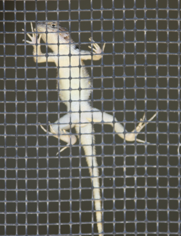
This fellow was hanging out on the screen hoping to catch flies. Interestingly, he did not bolt when we approached him.
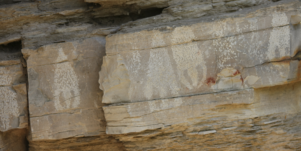
On the trail to the hot springs, we passed this set of petroglyphs on the canyon walls.
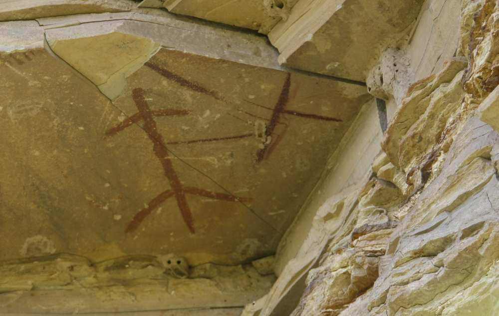
There were pictographs on the walls in addition to the petroglyphs.
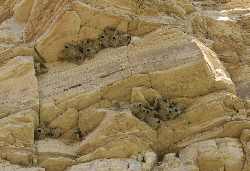
Further up the canyon walls were these cool bird's nests.
Across the river was this very basic dwelling. The salt bush provides shade from the broiling mid-day sun but also provides a nice home for mosquitoes.
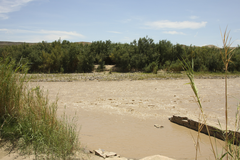
The dwelling above is now in context of the river and the stone work of the hot springs. Note the wall on the lower right of the photo above. Over night, the river rose to cover the hot springs with muddy runoff from the recent thunderstorms. When the river is low, the are between the wall and the banks is filled with hot mineral water.
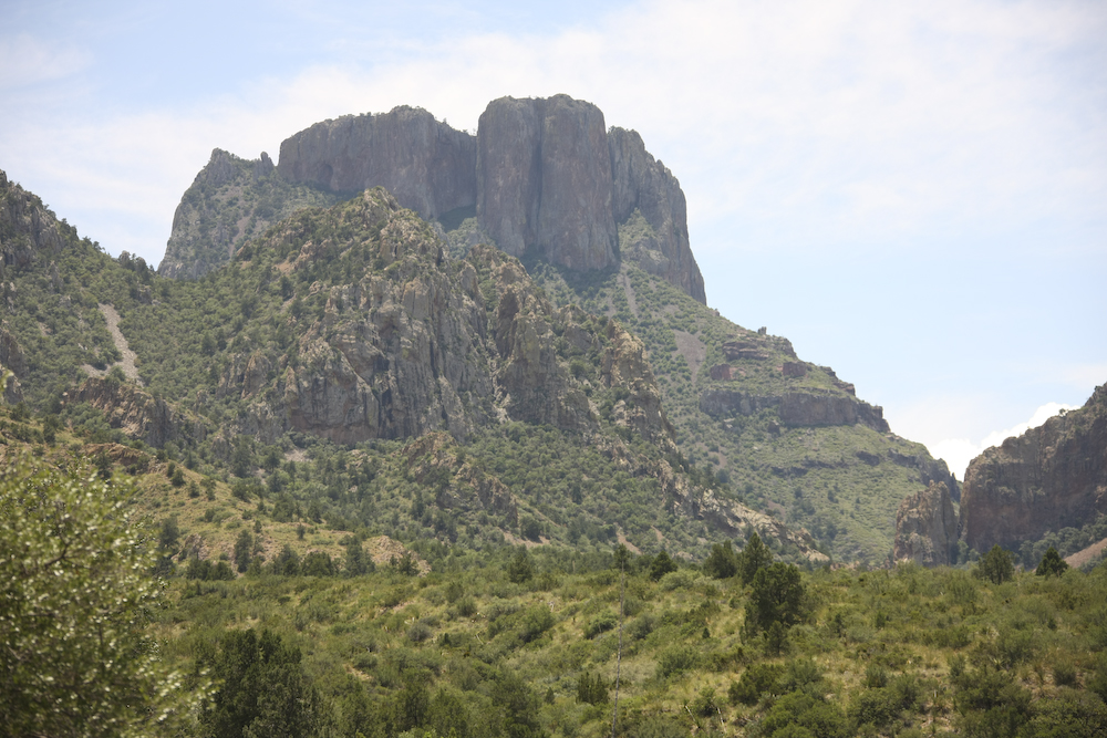
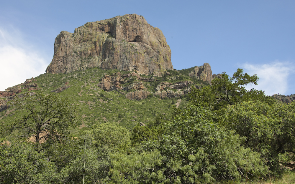
From the Rio Grande we headed north into the highlands of the Chisos Mountains. The road was steep, but finally put us right at the base of some huge volcanic plugs. Several of these had substantial cliff faces.
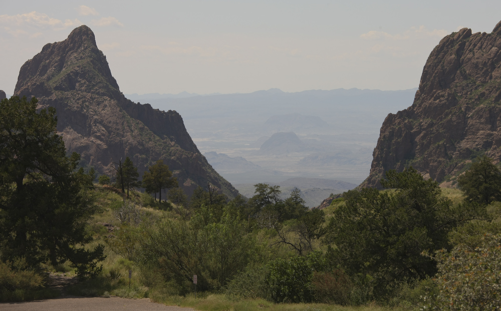
We ate lunch at the Chisos Mountain lodge and all the personnel were very interested in the mog. It seems that Texans know trucks. From the dining room at the lodge, we had this great view through a structure know as "The Window" that looks down on the valley floor many thousands of feet below.
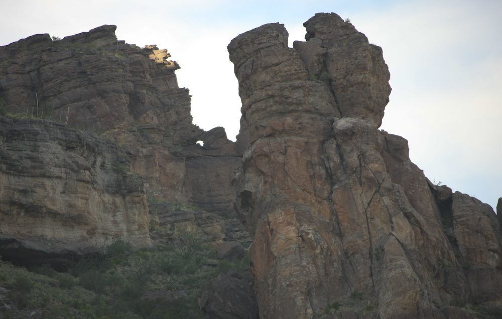
Another large escarpment near the lodge.
After lunch at the Lodge, we scoped out the campground in Chisos Basin. After some spirited discussions, we decided to pass and instead head to a remote part of the park. From Chisos Basin we headed north into Grapevine Canyon to look at the leaning rock formations.
From Grapevine, we headed east again to the far side of the Chisos range and took to the dirt on the trail to Pine Canyon to our campsite. To the north of our camp, we spotted this window in the cliffs above.
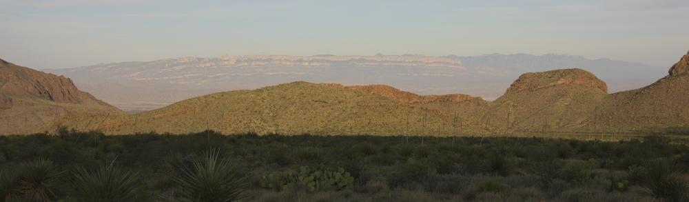
Sundown brought long shadows of the mountains to our west and provided a dramatic view of the rugged Sierra del Carmen in Mexico.
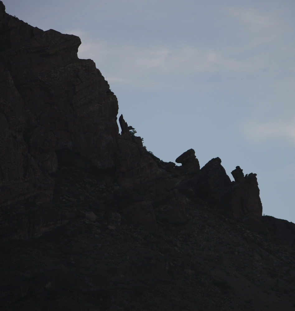
The shadows highlighted odd rock formations on the cliffs above our camp. Unlike many of the previous nights, there was no rain, lightning or thunder. We slept good and it was much cooler than the area around the river as we were at about 1600 meters elevation.
The morning light provided a clear view of the main peaks of the Chisos to the west of our camp.
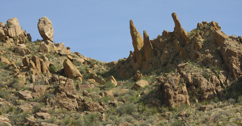
A number of the outcrops were very rugged and steep. From Pine Canyon, we headed back to the asphalt and then north through Alpine and Marfa to I-10.
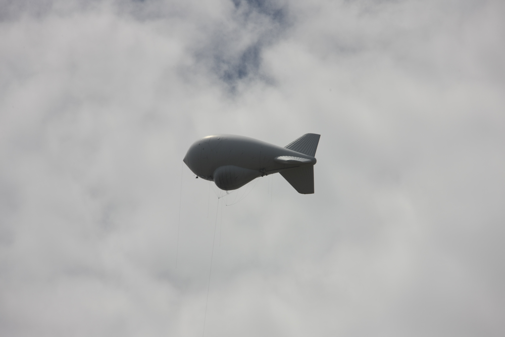
Outside of Valentine, TX we passed an Air Force aerostat facility that uses down looking doppler radar mounted on tethered balloons to look for drug smugglers and unidentified aircraft. Above, the tether cables are visible if you look close.
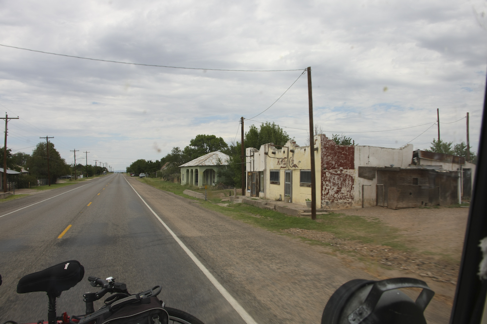
Some of the towns along our path were burned-out hulks of better times past.
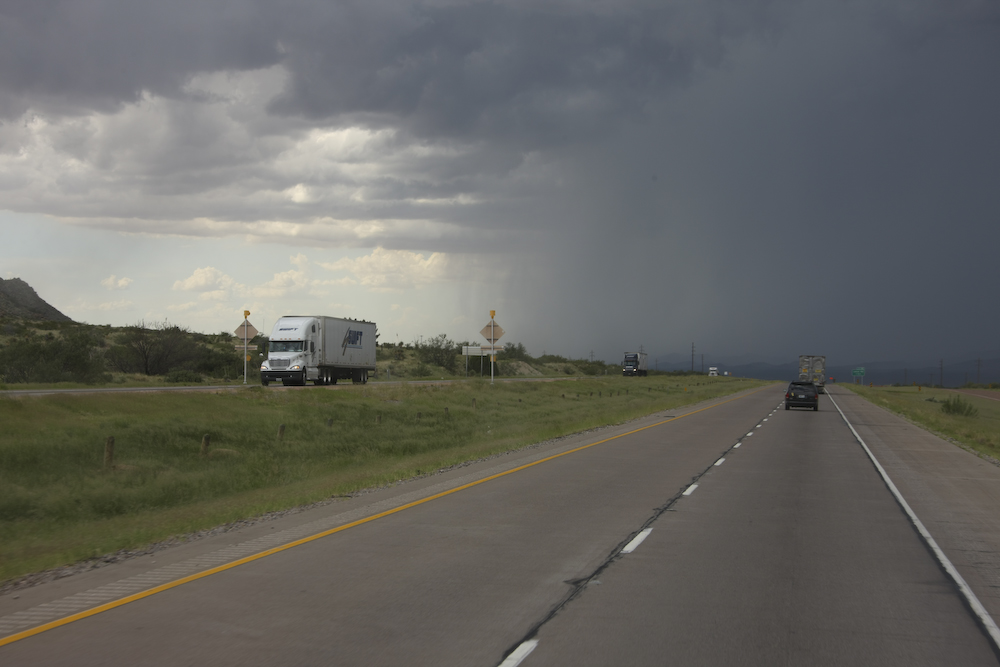
As we got closer to El Paso, the thunderstorm activity returned. The skies grew dark with rain and streaks of thunder.
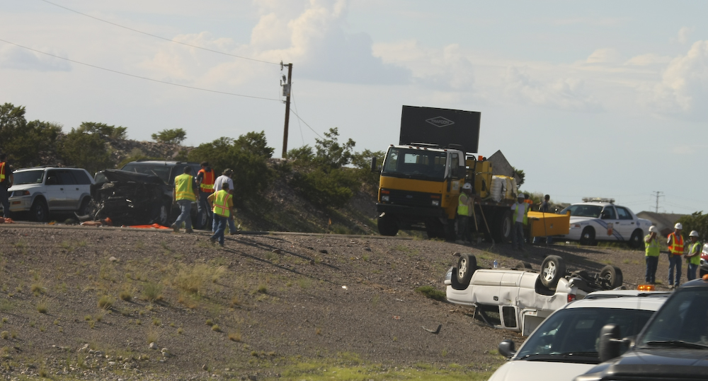
On the north side of El Paso, on our way to Las Cruces, we passed this bad accident. Traffic was tied up in both directions.
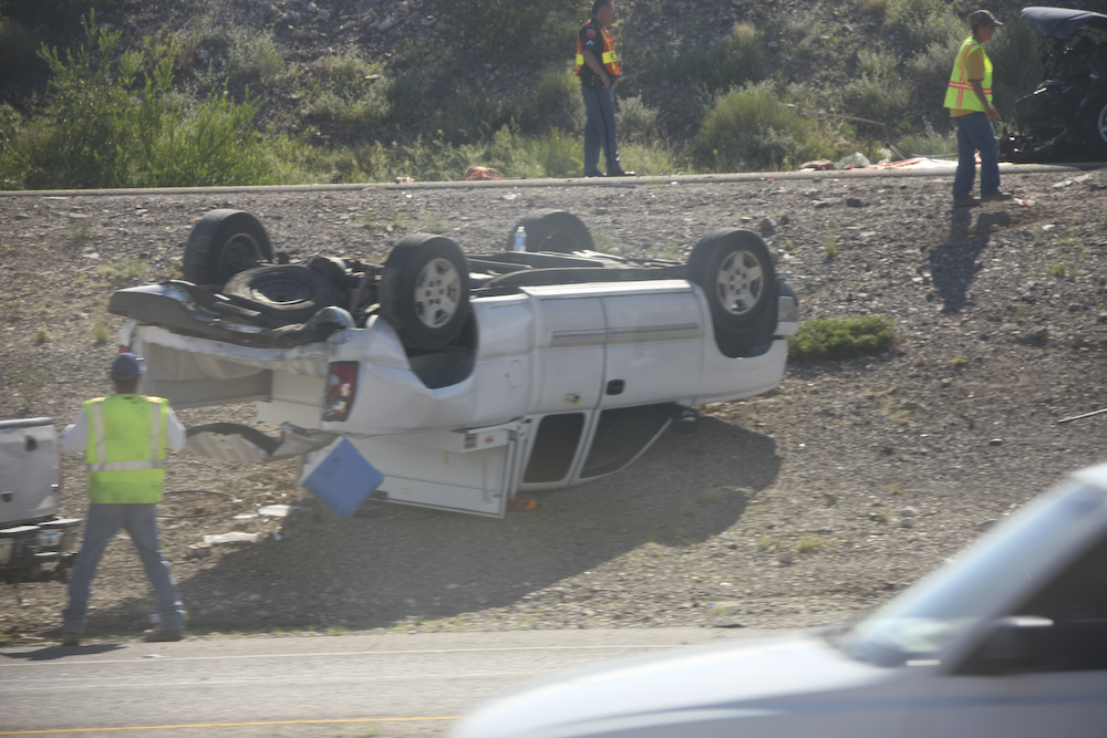
This looked like a serious accident. I doubt you could come out of a rollover like this fully unscathed.
This was a pretty long day on the road. There were no incidents and the truck behaved well. We ended up camping in an RV place in Mesilla, NM close to Las Cruces and the night was uneventful. Tomorrow, we we would head toward Alamogordo and through the White Sands Missile Range.
| Previous Adventure | ||
| Trip Home Page |
Photos and Text Copyright Bill Caid 2008, all rights reserved.
For your enjoyment only, not for commercial use.