We left Carlsbad, NM and headed south over the west Texas "plains". Most other folks would refer to this as desert. Our destination for the night was the Fort Davis area where we would attempt to stay at the state park. From there, we would head south through Marfa, TX and down to Terlingua. The photos below are what we saw.
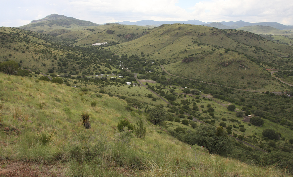
The state park was not that busy so we got a nice camp site close to the (currently) dry creek bed. Before we set up for the night, we headed up the scenic drive that provided an overlook of the surrounding area. The camp area is in the center of the photo above and the large white structure as a CCC built hotel called "Indian Springs".
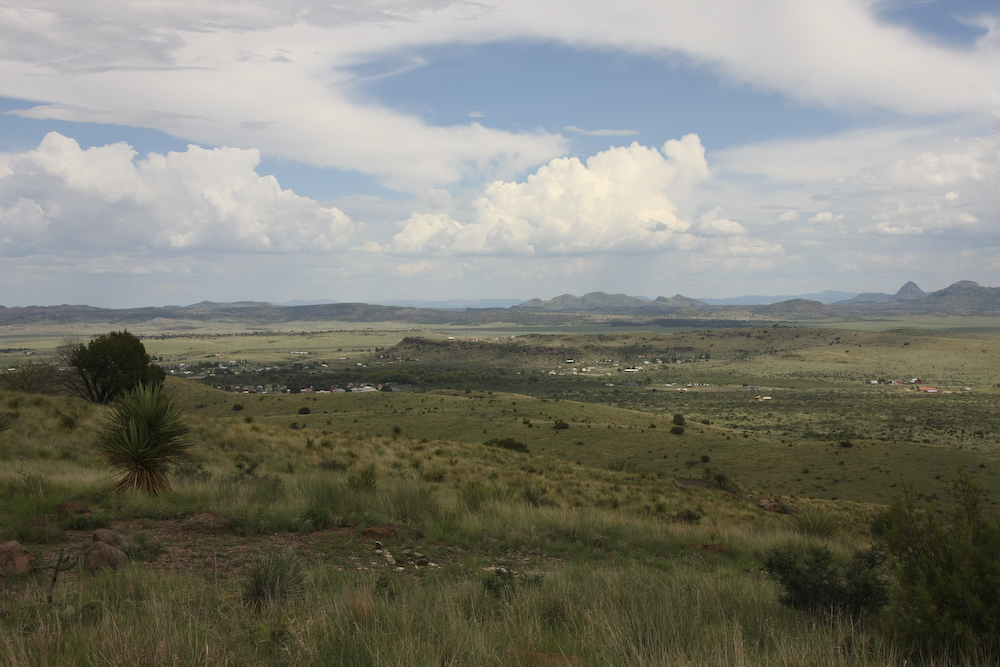
Looking to the east from the peak, you could see the town of Fort Davis and the surrounding hills.
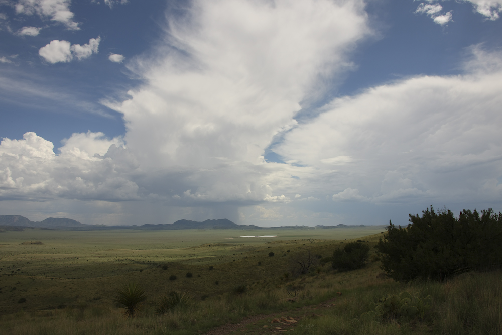
To the south, toward Marfa, TX, thunderstorms were dousing the hills.
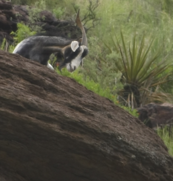
Kathleen spotted something on the hill above the road and shot this photo as we were driving by. It is blurry due to the motion of the mog, but the animal is clearly some kind of odd goat. Note the twisted horns.
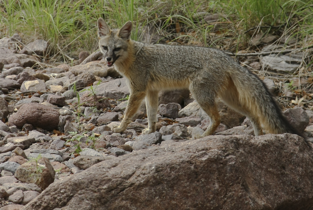
After we set up camp, I was sitting quietly drinking a cocktail when I saw something move out of the corner of my eye. I snagged my camera and caught this shot of a fox working the wash and marking its territory.
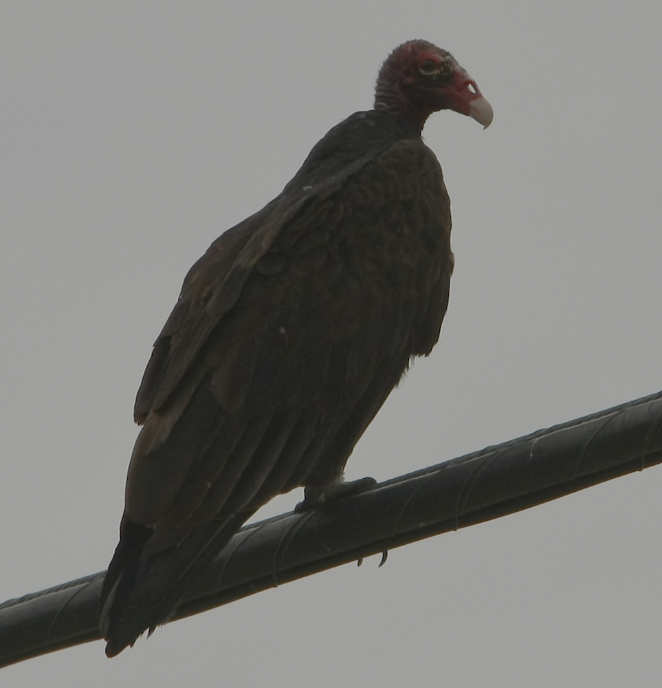
In an animal sighting sense, when it rains, it pours. After the fox, this turkey vulture came by to see if I might be on the menu for the evening. Note the hole through its beak. This is one butt-ugly bird. Later in the evening, while sitting by the fire, we were visited by skunks and a several javelina.
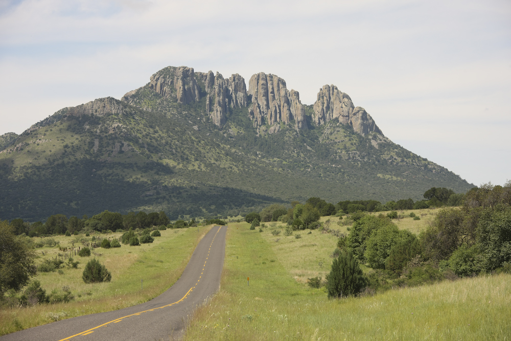
Next morning, we packed to travel to Terlingua. But, we saw on the map that there was a scenic route that went through the Davis mountains, so we decided to take it. The photo above is a rock outcropping visible from the route.
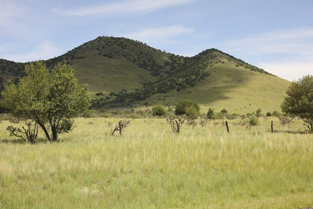
The recent rains brought tall grass to the hills.
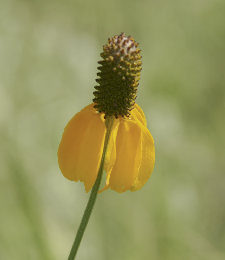
The rain also brought many flowers.
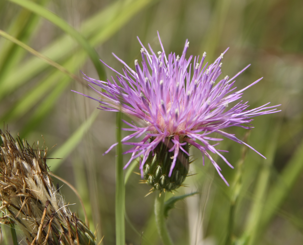
There were a number of thistles in bloom in addition to the flowers.
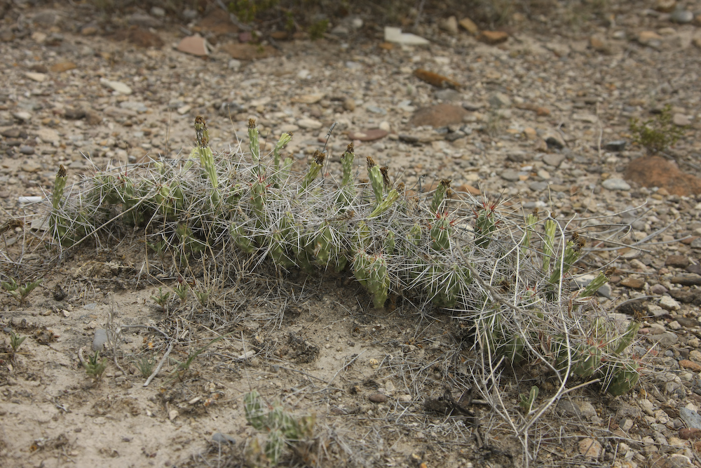
As we got near Presidio, TX the grasslands gave way to desert. On an overlook to the Rio Grande, I spotted this interesting clutch of cactus. I do not know what kind these are, but they are not native to the area around SoCal or So Az that I am familiar with. This area is referred to as the Chichihuan desert and has a number of species of cactus that are unique to this desert.
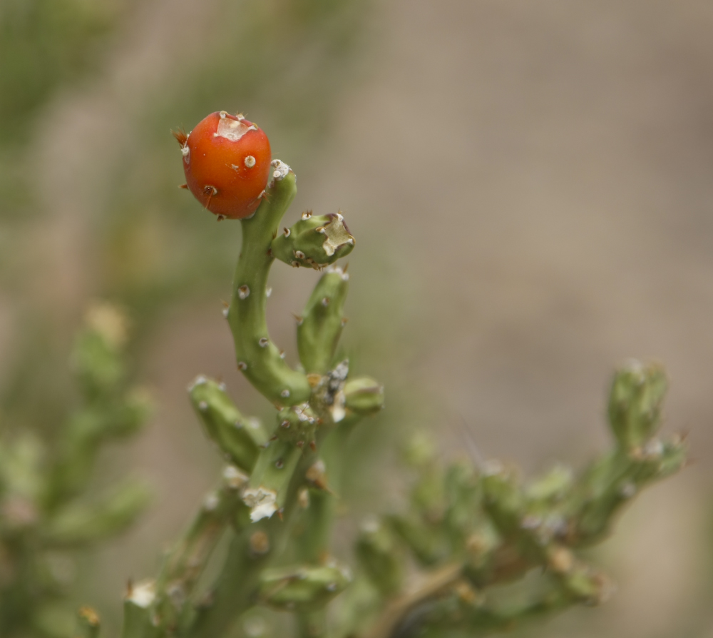
This cactus was particularly odd and was bearing fruit.
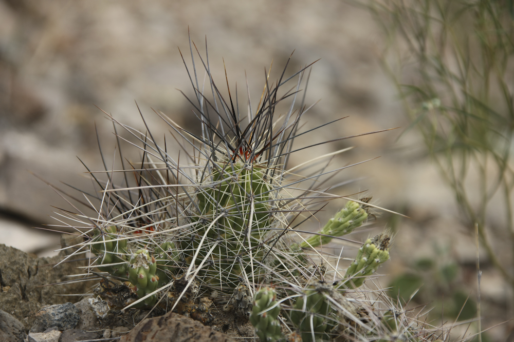
This fellow had very long spines.
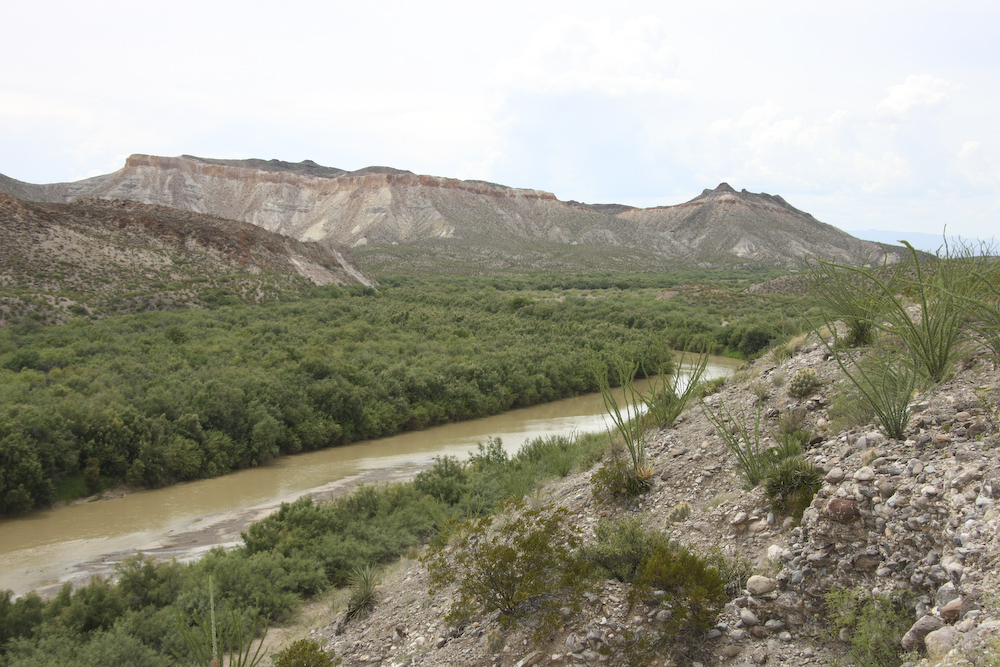
Our first view of the Rio Grande. On the other side of that very narrow, very shallow river is Mexico. Crossing is easy, especially when the water levels are low. That is where the term "wet back" comes from.
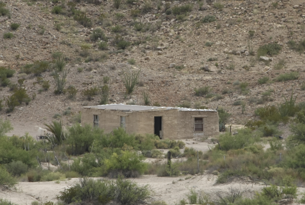
Some of the dwellings on the other side were quite basic, lacking even doors.
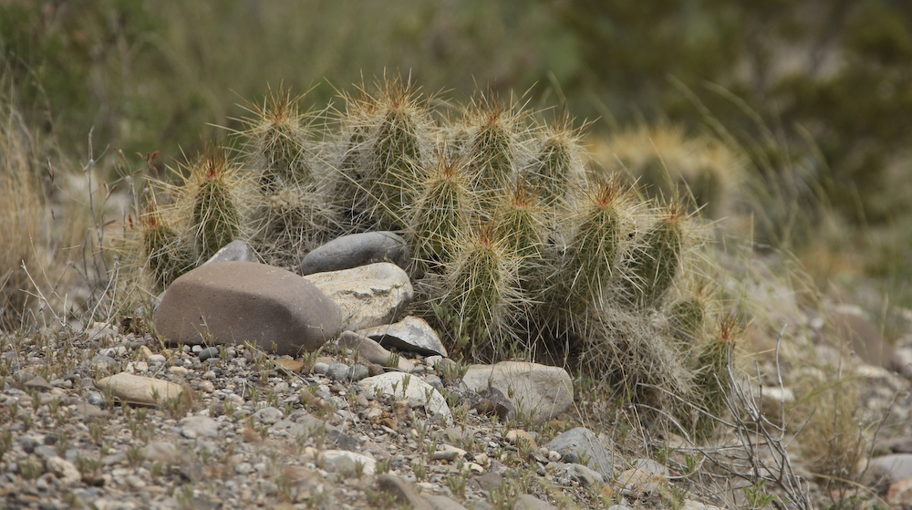
This clutch of cactus also has long, vicious spines.
We found a deserted pull-out that allowed us to go directly to the side of the river. Here, the bend of the river was placid.
The patch of grass indicates that this area floods frequently.
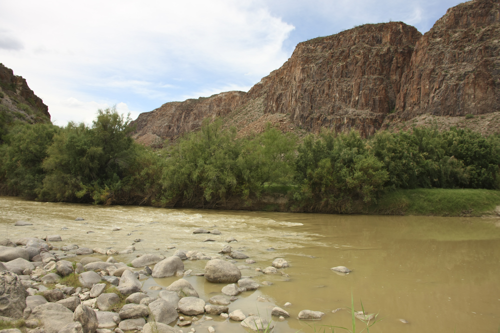
Note how narrow the river is at this point. You could easily walk across without getting your full body wet.
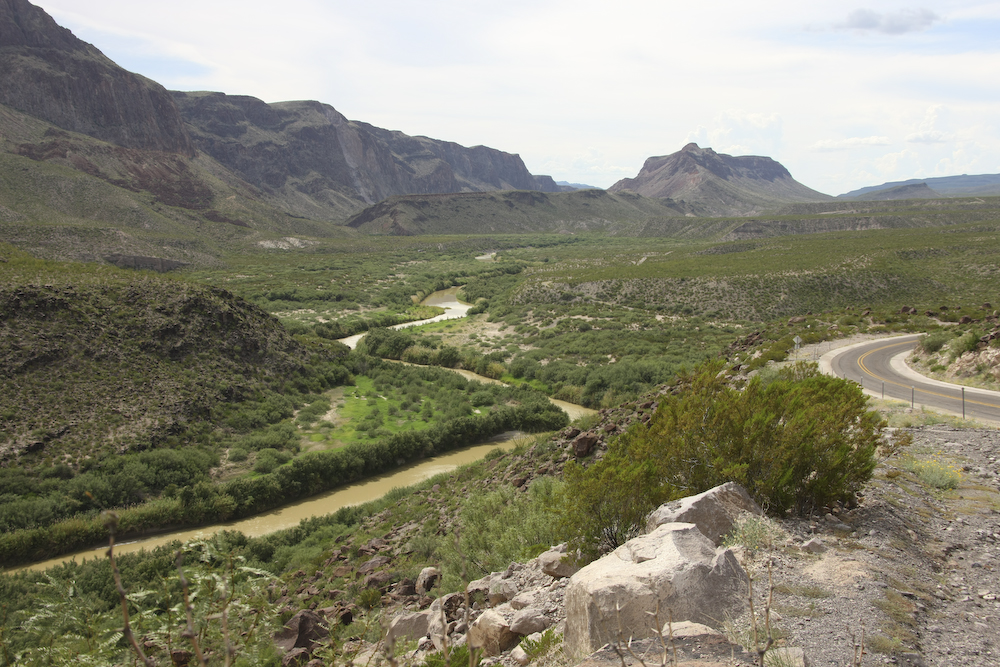
We reached an overlook at the top of a 15% grade that afforded a good view of the river looking west toward Presidio.
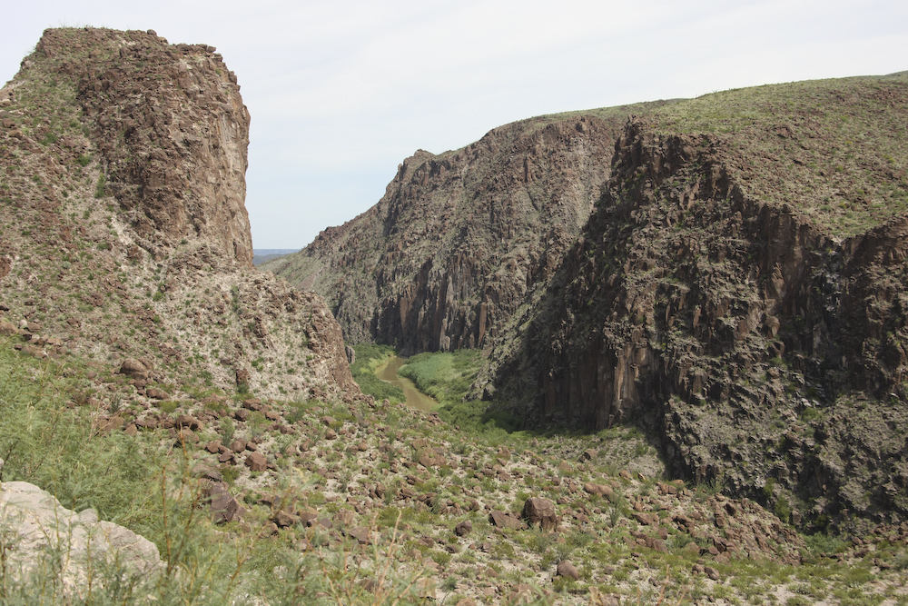
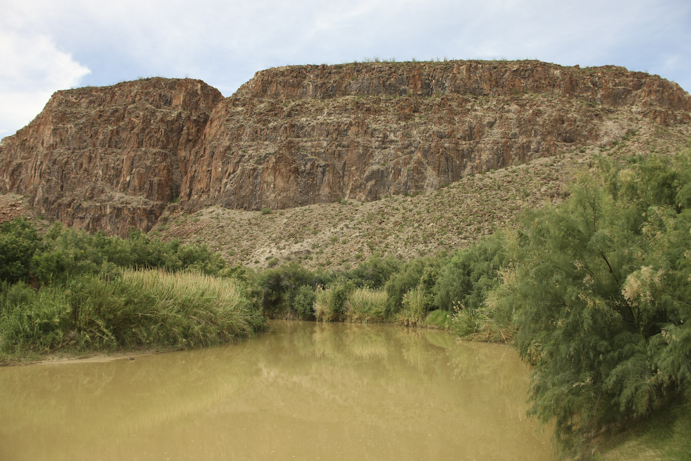
In many sections of the Rio Grande, the terrain has uplifted and the river has held its course cutting deep, narrow canyons into the uplifted area.
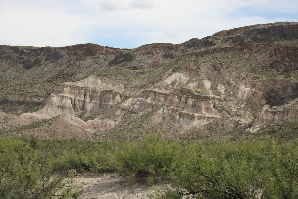
This area had volcanic basalt as cap rock over the underlying strata. The white formation has been exposed through uplifting and erosion.
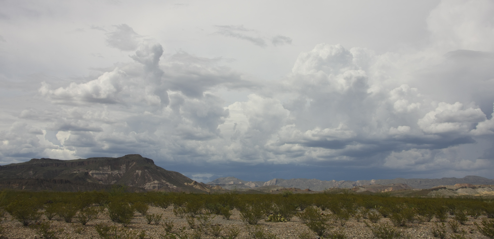
Thunderheads and rain build to the east of our position -- directly in our path to Terlingua.
We were sure to get some thunderstorm activity before nightfall. And we did, but luckily were were in our motel when it hit.
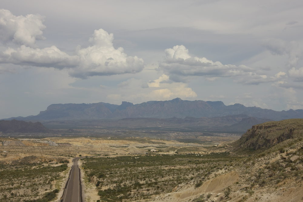
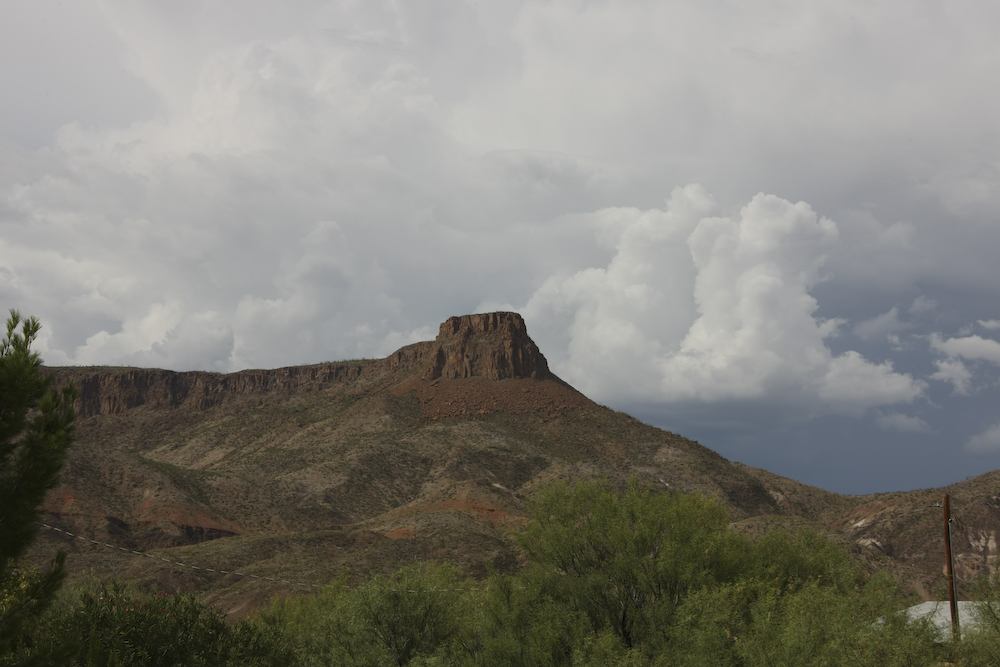
Our first view of the massive Chisos Mountains to the east of Terlingua. Tomorrow, we would travel all the way around the Chisos via the dirt trail to the south, near the Mexican border. Because it was still very hot, we decided to get a motel with air conditioning. The accommodations were basic, but sufficient. The thunderstorm hit after we were in our room. It did not rain much, but the wind was fierce. After the storm subsided, we asked the clerk about places to eat. One of the suggestions for dinner was the neo-bohemian "Starlight Theater" in "Terlingua Ghost Town" so we decided to check it out.
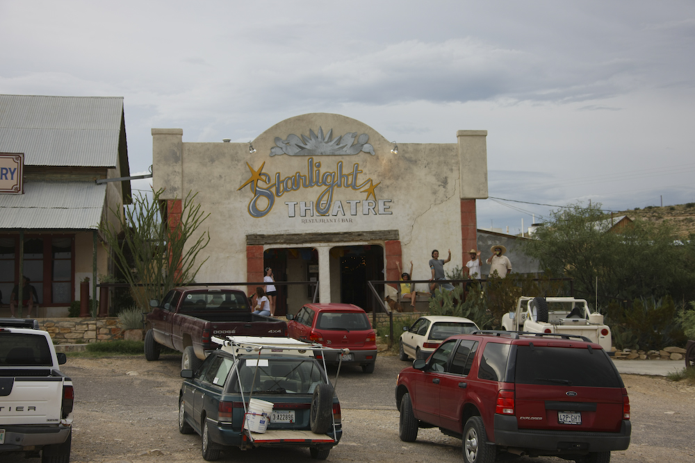
The Terlinguists cheer the mog as we roll into the parking lot at the Starlight Theater. The patrons were an eclectic lot and neo-bohemian was a pretty accurate description of the situation. The people watching was very interesting and was the high point of an otherwise normal mog trip day.
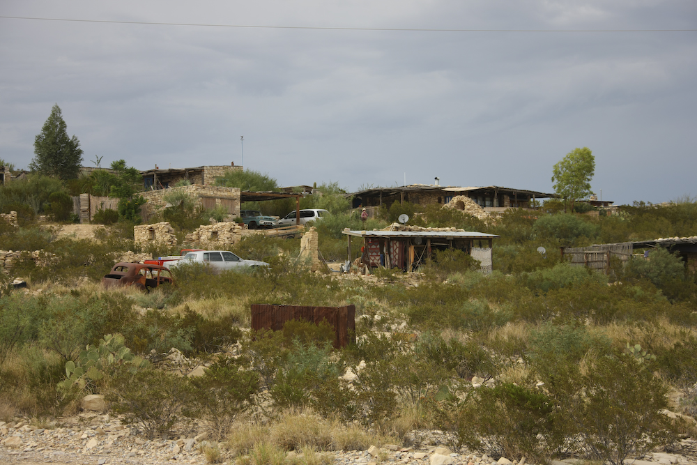
Some of the local Terlingua residents lived in refurbished ghost town structures. Some of the structures were not even refurbished. Note the shack in the center of the photo with the satellite dish. As we learned in Mexico, you have to keep your priorities straight.
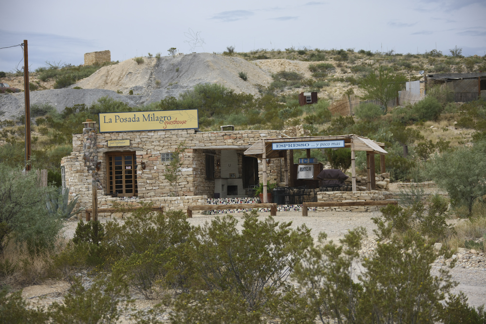
This coffee shop was based on an abandoned building that had been refurbished.
It was a reasonable trip to Terlingua from Ft. Davis. The section of road along the Rio Grande was quite steep, over 15% grade in one place but easily passable in the mog. The views were great and I would highly recommend this route to anybody in a normal vehicle. Terlingua was something out of a comic book and generally defies description. So, the best way to learn more is to go there. A word of caution however. In the summer, you will have the place to yourself. In the winter, it will be quite crowded as this is the path to the western entrance to Big Bend Nation Park.
Tomorrow, we will take the dirt path that follows the Rio Grande river and traverses the south part of the Chisos Mountains. We would encounter additional adventure in the form of yet-another flash flood from the monsoon rains.
| Previous Adventure | ||
| Trip Home Page |
Photos and Text Copyright Bill Caid 2008, all rights reserved.
For your enjoyment only, not for commercial use.