We spent the night at a park campground along the Snaring River that went through the park. At daybreak, we broke camp and continued our trip north. Our destination was Teslin, AB.
The photos below are what we saw.
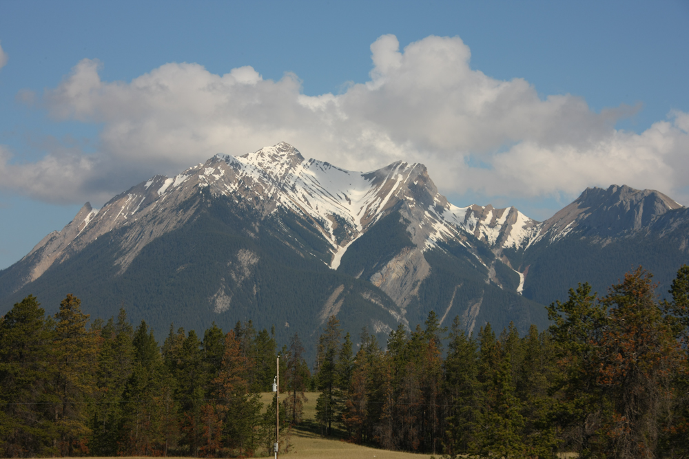
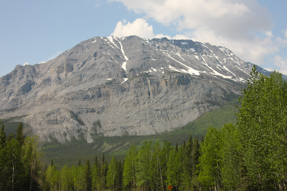
I believe that this is White Cap Mountain and it was visible from our camp at the Snaring River.
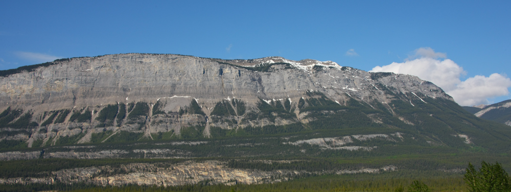
To the west of our position was a huge cliff structure that ran for many miles.
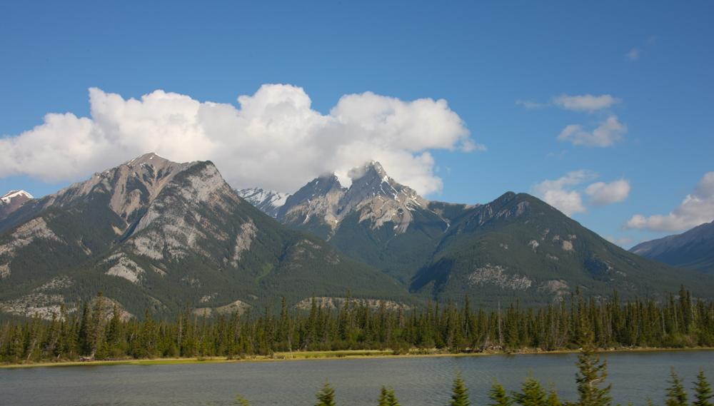
As we headed north on the highway, we passed many lakes with nice mountains in the distance.
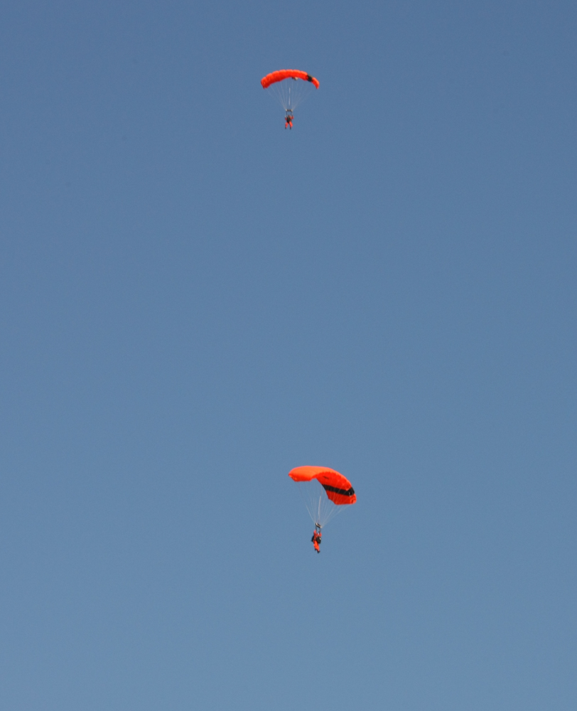
Near the town of Hinton, we came upon these parachutists dropping in the calm air.
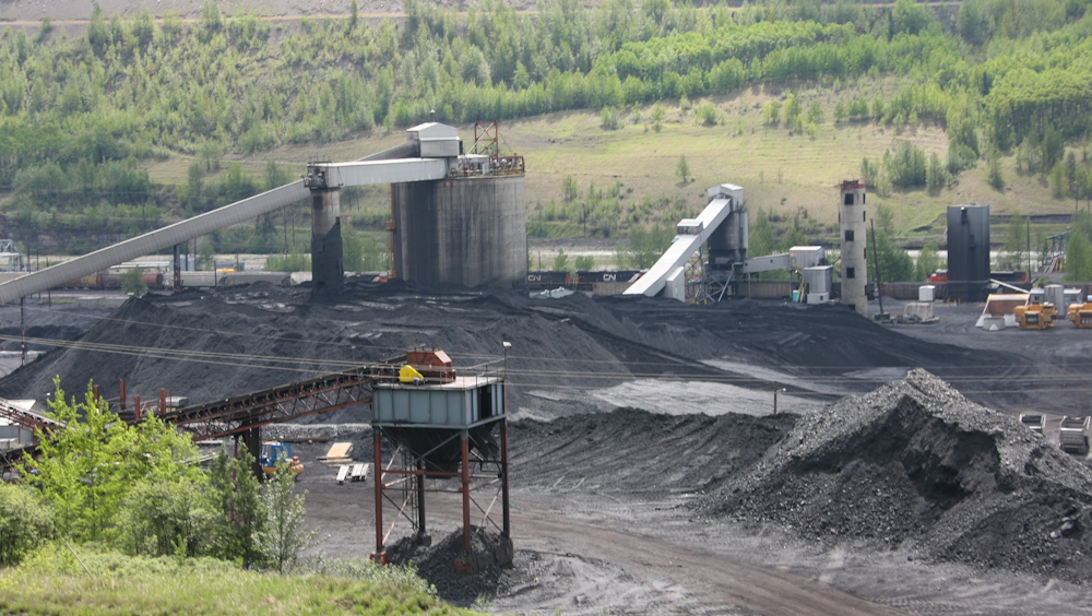
Further north past Grand Cache, we passed this large coal mine and power plant. The output of the mine directly fed the power operation, thus minimizing transportation costs.
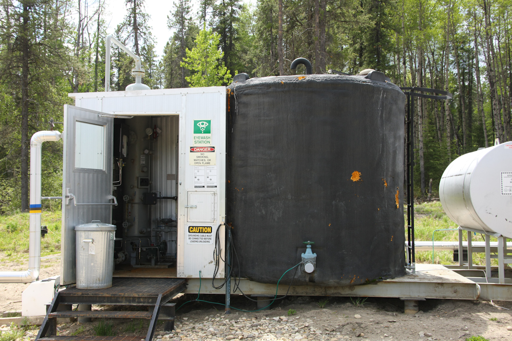
Northern Alberta is blessed with many resources: timber, hydro electric, coal and oil. There were many oil installations in the area it it seemed as if the terrain had been fully explored for oil. Above is a small pumping station and the local storage tanks. These tanks are drained periodically by the fleets of tanker trucks that traverse the back roads. The big tank above was bubbling and gurgling with dissolved gasses.
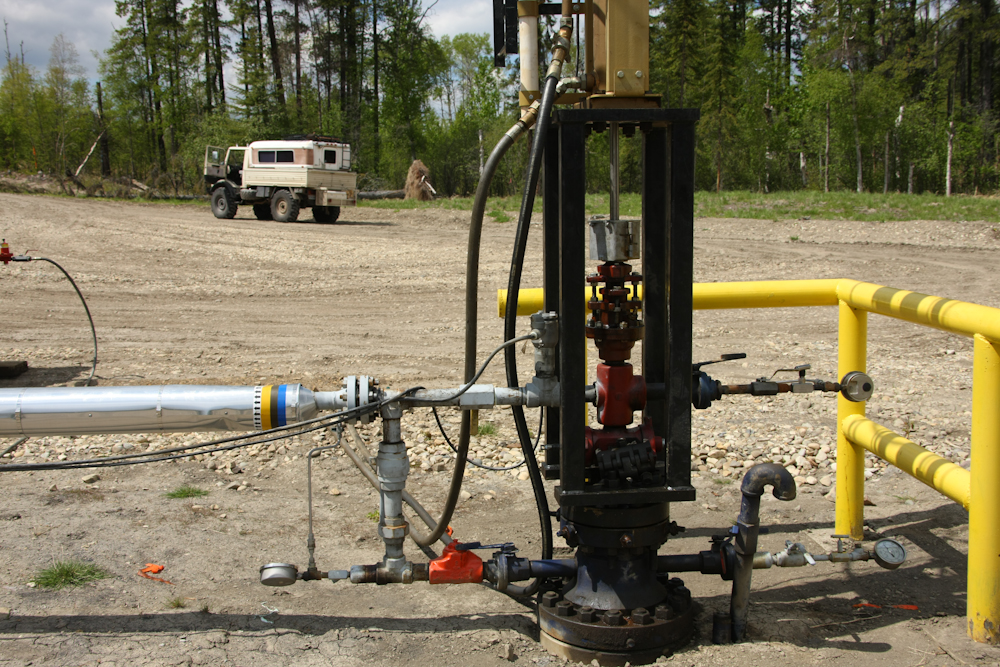
I am used to seeing the rocking pump jacks, but this installation used a hydraulically operated pump. That implies that the oil is under pressure and will come to the surface by itself. Above is the well head and all the associated plumping.
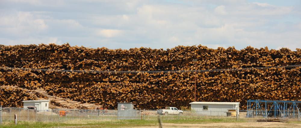
Outside of Grand Prairie we spotted this large lumber operation.
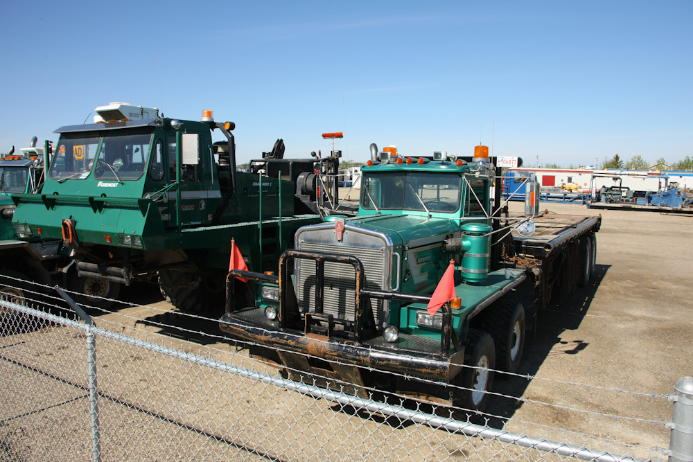
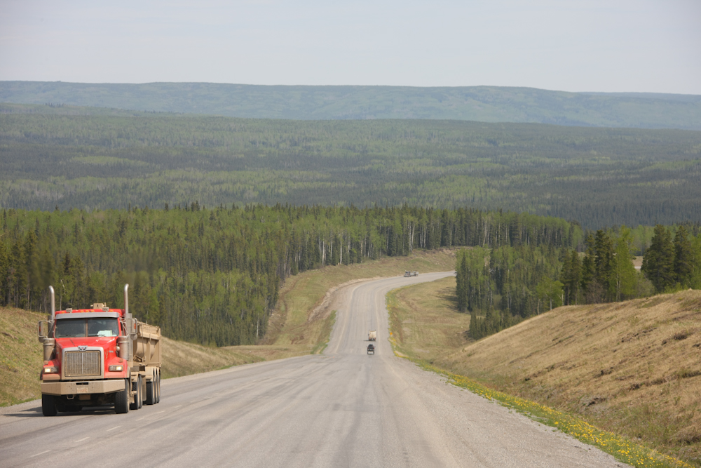
In Dawson Creek, we spotted these huge rigs. The truck on the right has dual front axles. The rig on the left was really, really big. This rig was made by the same folks that made the Ice Explorer and had the same running gear.
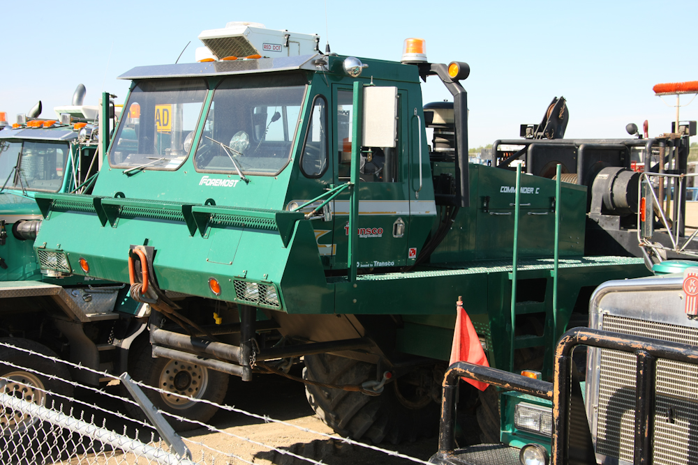
The big truck was really a sight. It had a huge winch on the back deck.
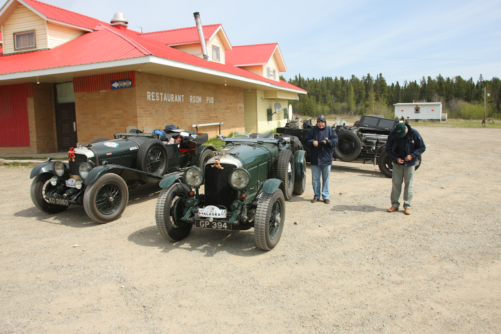
At a fuel stop in the boondocks, we passed this group of vintage Bentleys that were doing a full road trip to Alaska. They had a number of cool cars in their group and several support trucks and trailers for hauling dead vehicles. Note the head gear on the folks above.
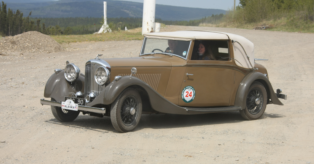
Another car in the Bentley group.
The road was not all that heavily traveled. But, the road was wide, even if it did not have yellow lines. Note how far back the trees have been cut. Most of the highway had been recently mowed which provided an interesting effect. The frost-heave had wasted the roadbed causing rough going at about 50mph max.
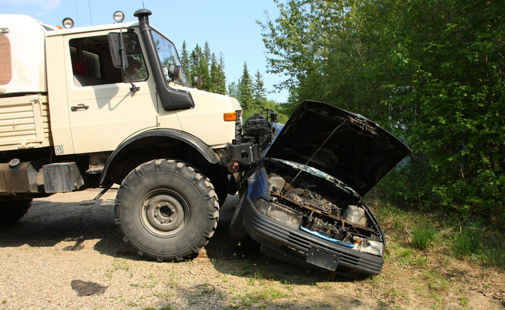
We rolled into Ft. Nelson and decided to stay at the better of the two RV parks in the town. The place was a dump, both literally and figuratively. When I pulled in, the gal that ran the place asked if I could push the burned car at the end of the park (and right next to our site) into the bushes. So I took a shot at it. Sadly, the mog was big enough that it just ran over the car and every attempt to push it just started to roll the vehicle. In the end, I gave up.
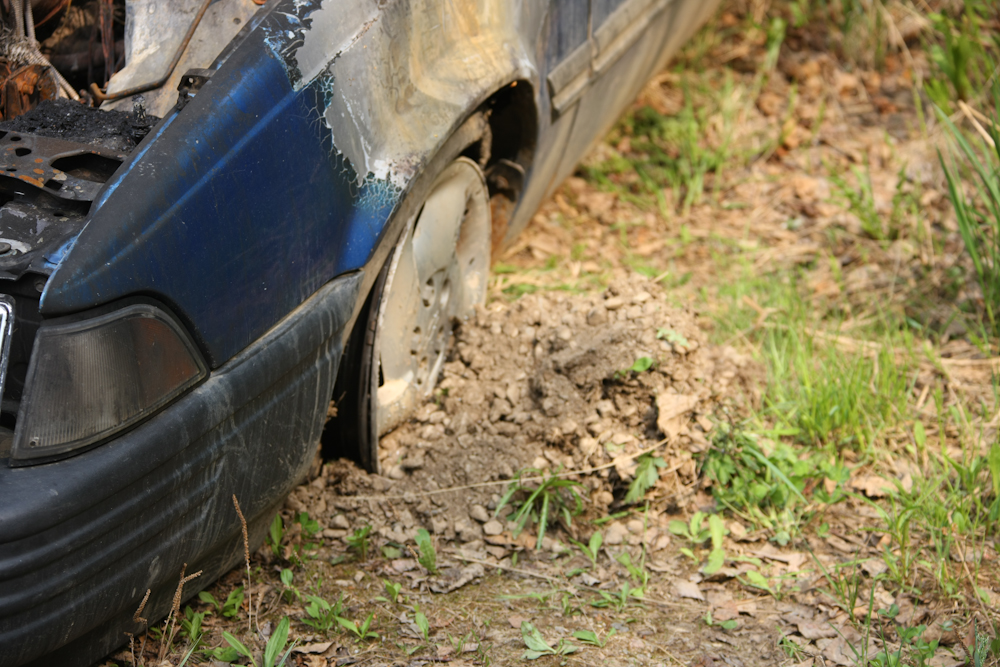
The rim of the burned tire was digging into the ground causing the car to roll rather than slide. The owners just left the car there, they were too cheap to pay to have the wrecker haul it away.
One of the mountains close to Toad River. Note the folded bedding in the face of the cliff.
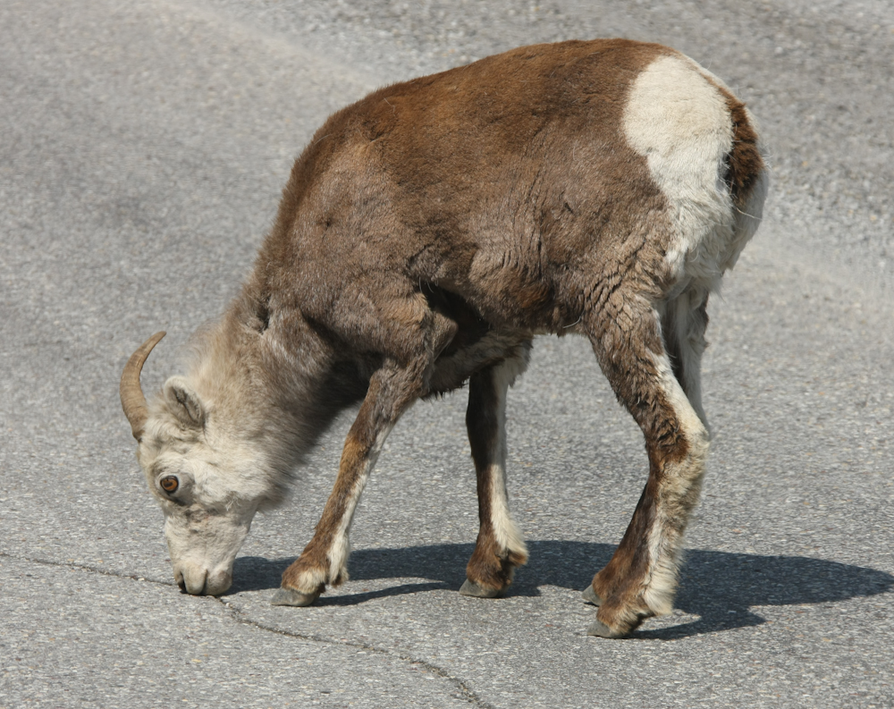
Down the road a bit from Toad River, we came upon this goat that was so focused on whatever was in that crack in the road that we nearly hit him.
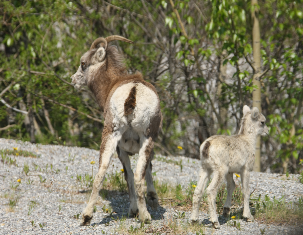
Close by was mom and the baby. And this was a really young kid.
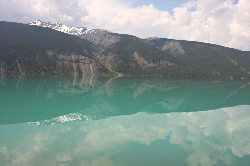
Reflections in Muncho Lake.
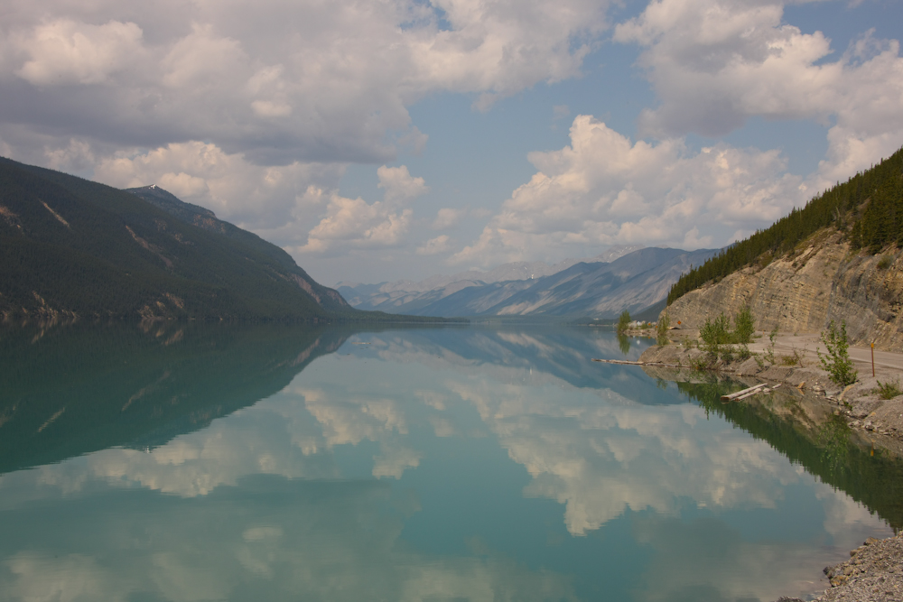
Muncho Lake looking north.
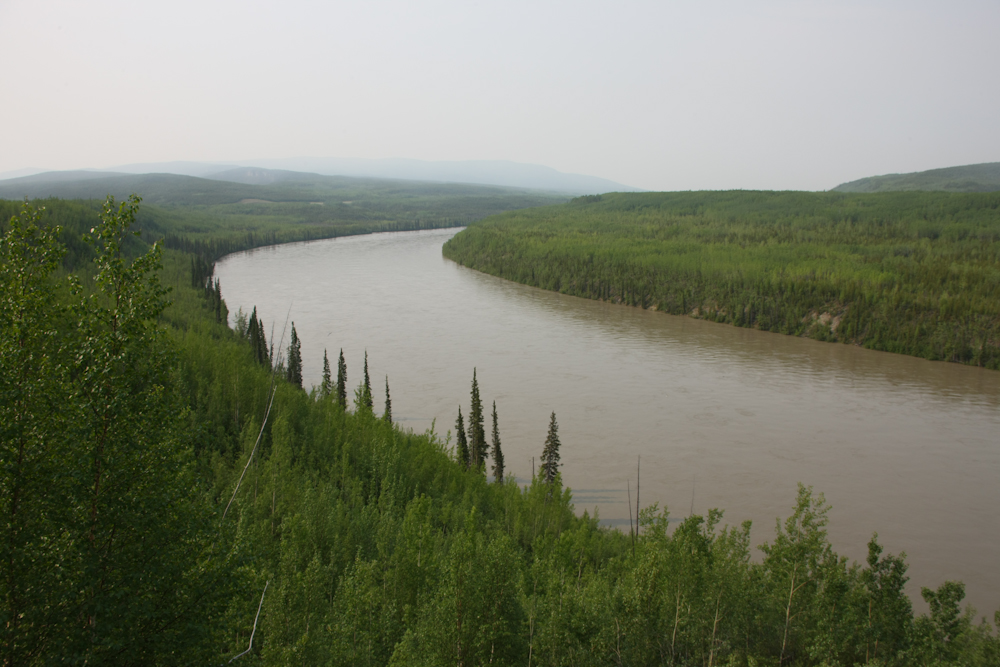
There were several large bridges over the Laird River.
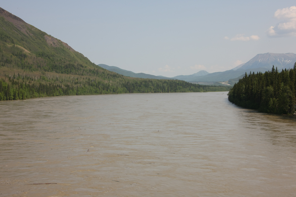
The Laird River is wide and fast.
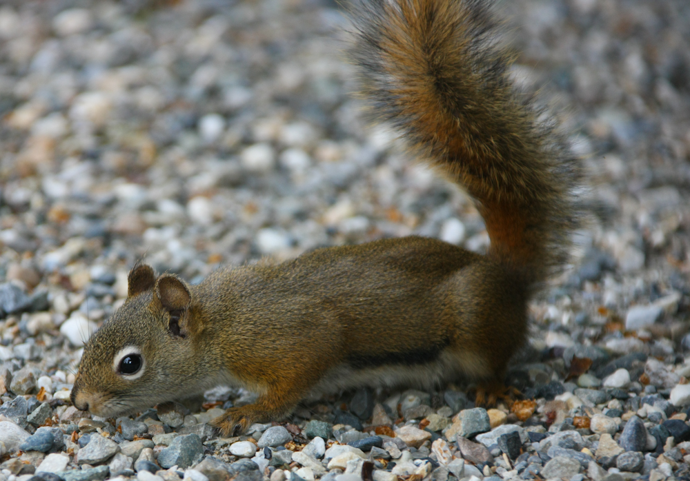
We decided to spend the night at Laird River hot springs. I neglected to take a photo of the hot springs since I would have had to carry the camera quite a way. But, the place is nice, clean and the water is very, very hot. Above is one of the local residents of the hot springs camp ground.
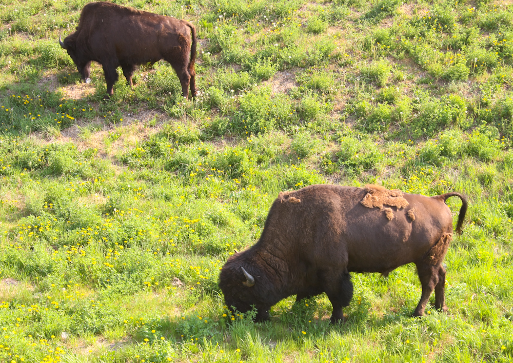
We passed these free-running buffaloes near the highway north of Laird River Hot Springs.
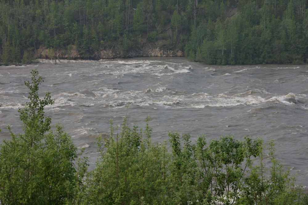
Cranberry Rapids on the Laird River.
Downstream of the rapids, the Laird River smoothed out a bit.
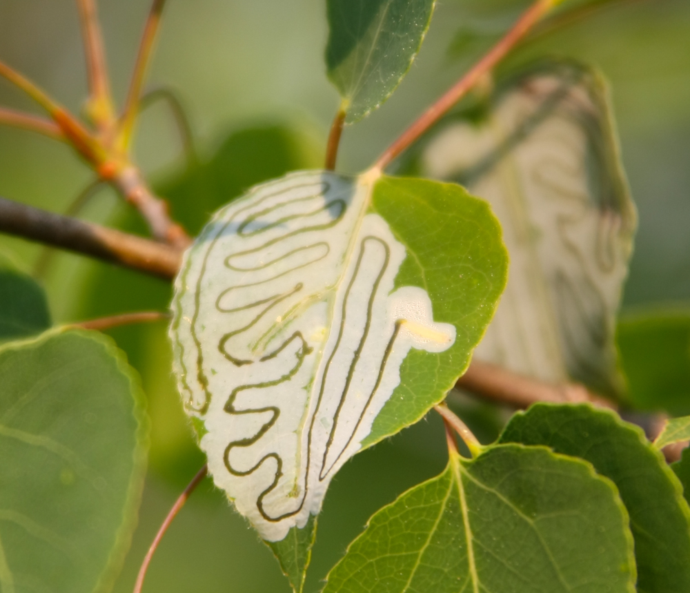
This is the work of some kind of destructive insect.
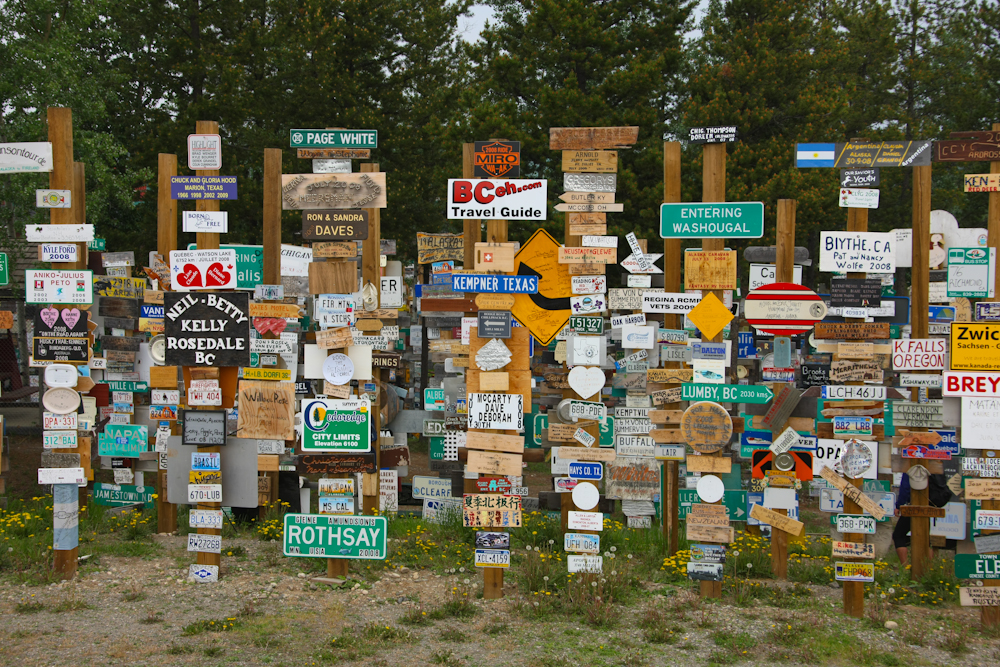
The sign post forest in Watson Lake, YT.
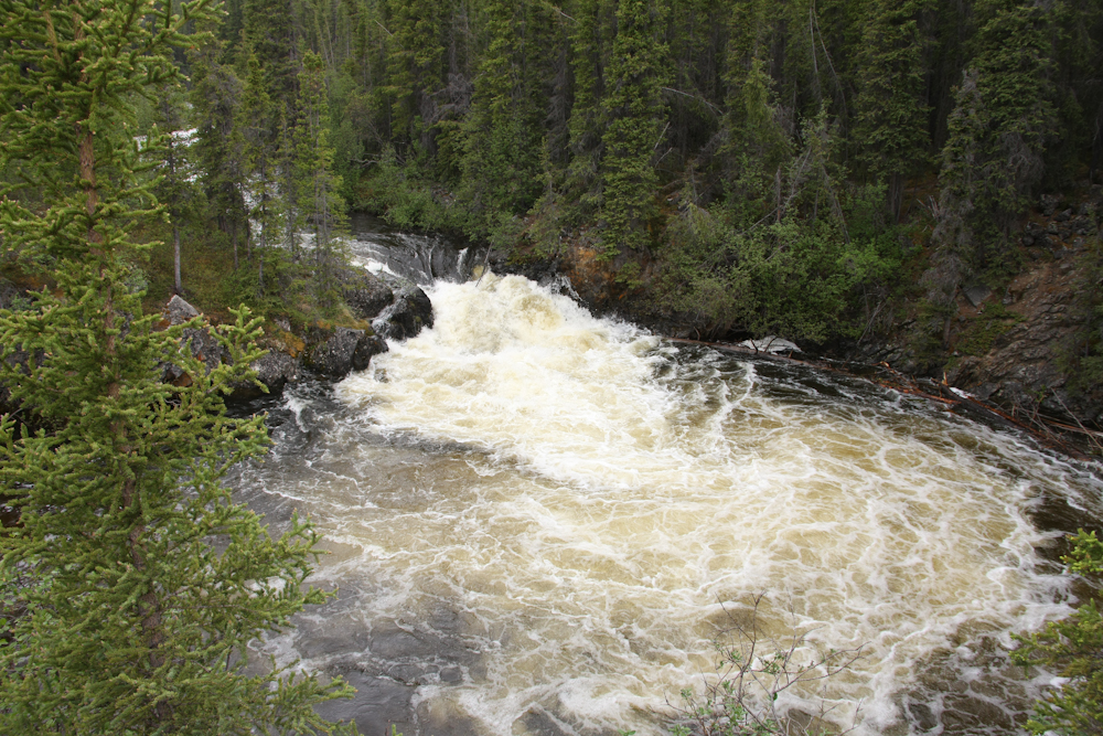
Rancheria Falls just past Watson Lake in the Yukon.
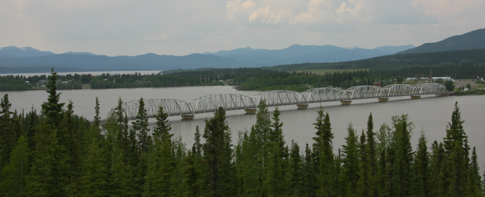
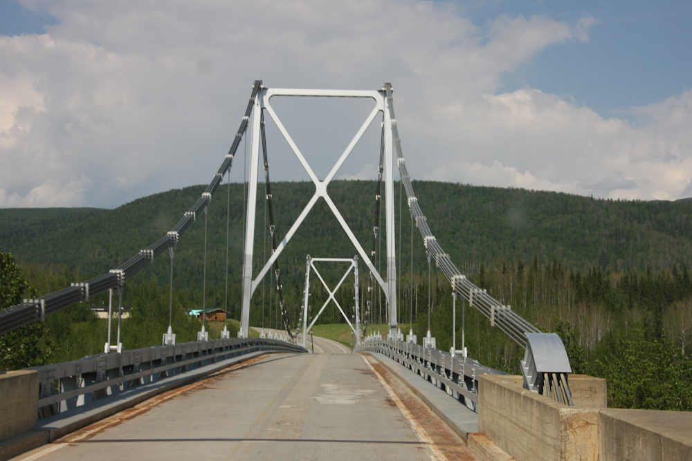
On the approach to Teslin, we spotted this very long bridge over an arm of Teslin Lake.
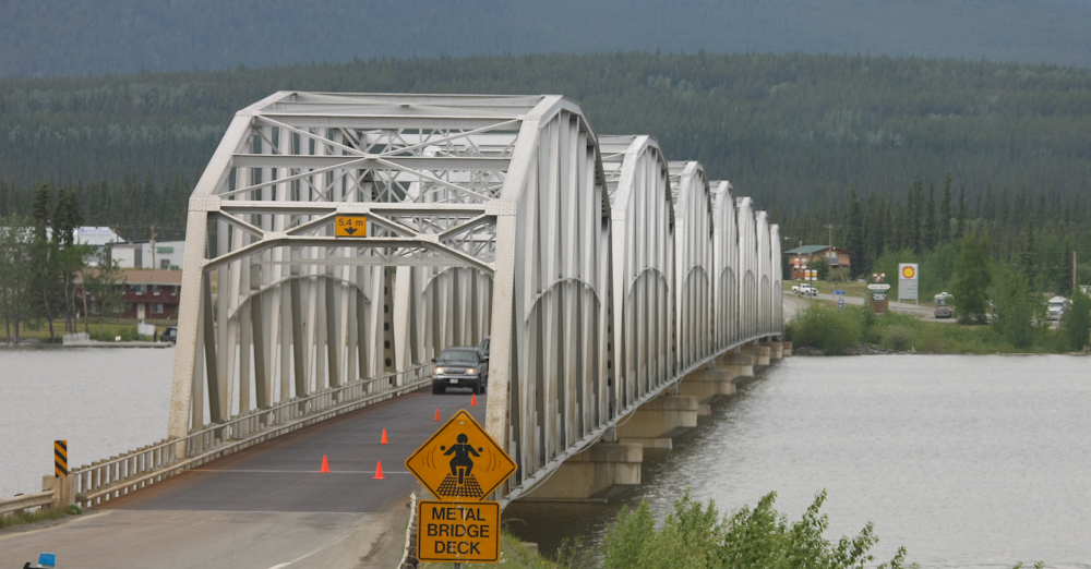
The decking on the bridge was metal with holes that allow water and debris to fall through. We fueled up at the station at the right of the photo above and then spent the night next to the lake.
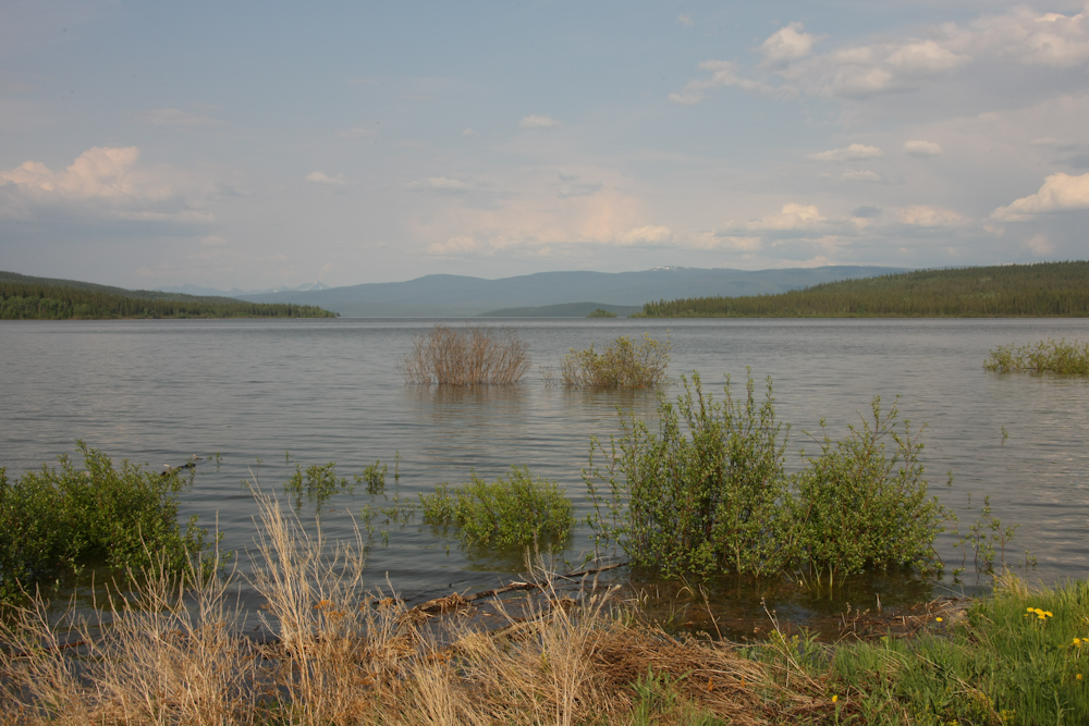
Our camp site was right next to the lake. The water was only a few feet away. As can be seen above, the bushes at the shore are under water indicating that the lake level is high. And getting higher it would seem.
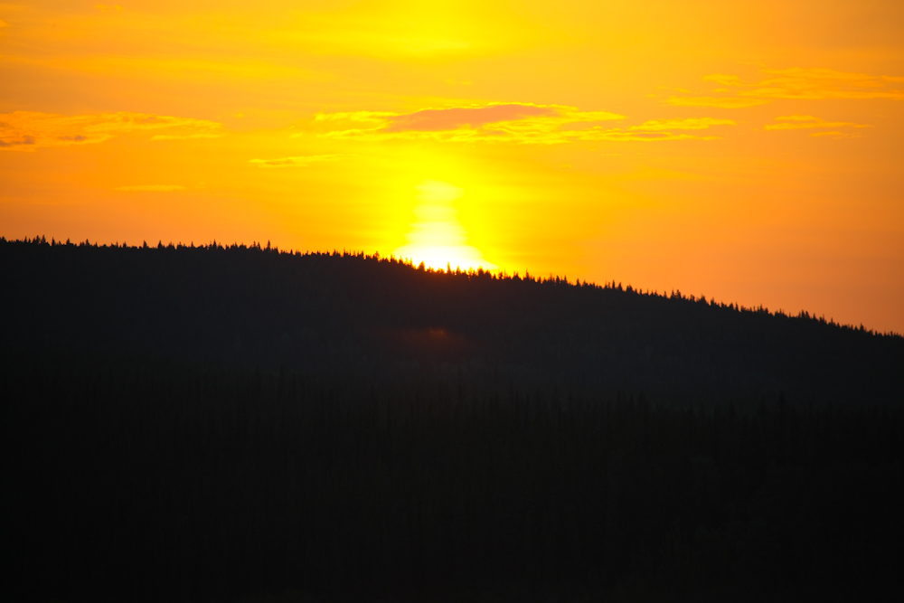
The high water of the lake had the mosquitoes whipped into a frenzy and many of them found their way into our camper. We ended up waking up at sunrise which was about 0400 and getting the shot above.
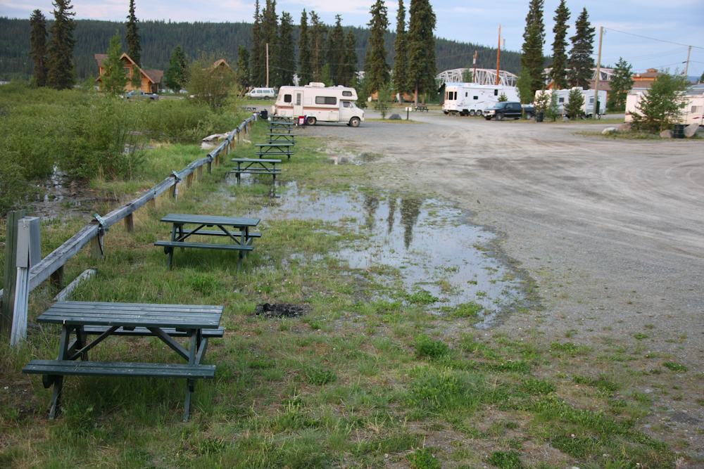
The lake had risen many inches over night and was starting to flood the camping area. We were still dry, but were put "on notice" so we prepared to leave.
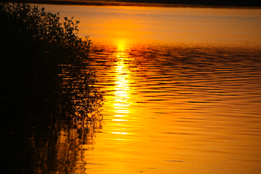
Sunrise over the water made nice colors.
We stayed at the Yukon Motel on Teslin lake and it was very nice. A great contrast to the dump we had stayed in the previous night. We packed and headed north again with our destination for the day being Cottonwood Camp on Lake Kluane.
| Previous Adventure | ||
| Trip Home Page |
Photos and Text Copyright Bill Caid 2009, all rights reserved.
For your enjoyment only, not for commercial use.