The
photos
below are what we saw.
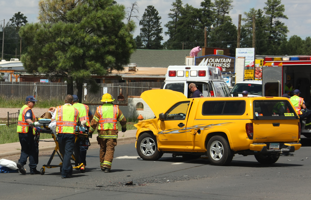
As
we left the campground, we came upon a reasonably bad multi-car
accident. The air bags had deployed on at least one of the cars
and the EMS team was transporting the passengers off to the
hospital. The accident scene had the entire highway blocked for
miles.
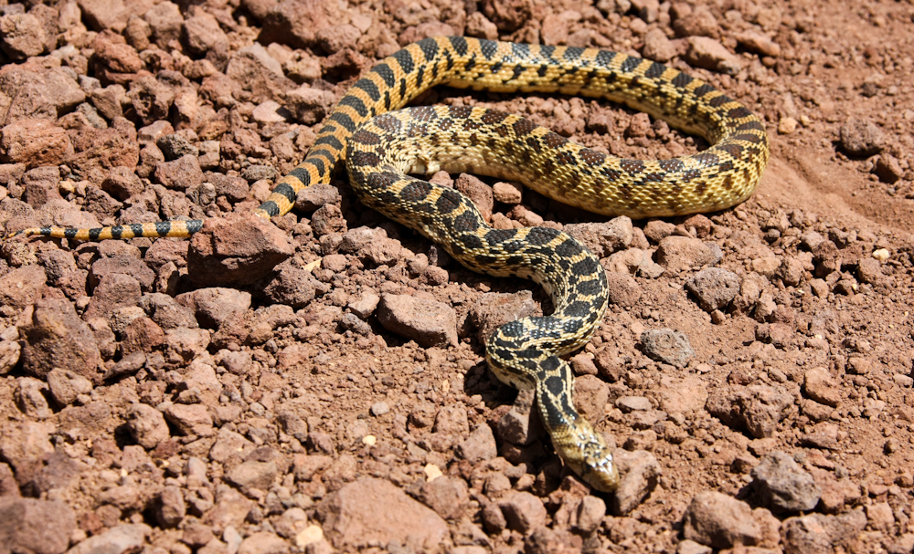
We
decided to travel south of Show Low and take one of the forest roads
that parallels the Mogollon Rim. The "Rim Road" is dirt and
follows the crest of the rim for the better part of 100 miles. As
we were rolling along, I spotted this snake in the road. I nearly
hit him but decided to stop the truck and get a photograph. I am
not sure which species of snake this is, but I am sure what it is
not. It is not a rattlesnake and it this area of the country,
determining that fact is usually the most important issue. We
took several photos and then rolled on.
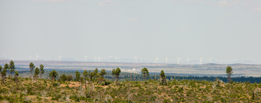
From
the crest of the Mogollon Rim, we could see a large wind farm to the
north. These large windmills were spread over a substantial area.
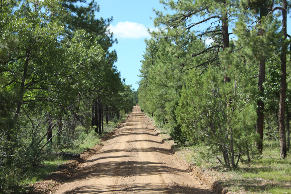
The
Rim Road was very pleasant and was in generally good shape. The
route took us along the crest of the Mogollon Rim through the tall
pines westerly from Show Low toward Payson, AZ.
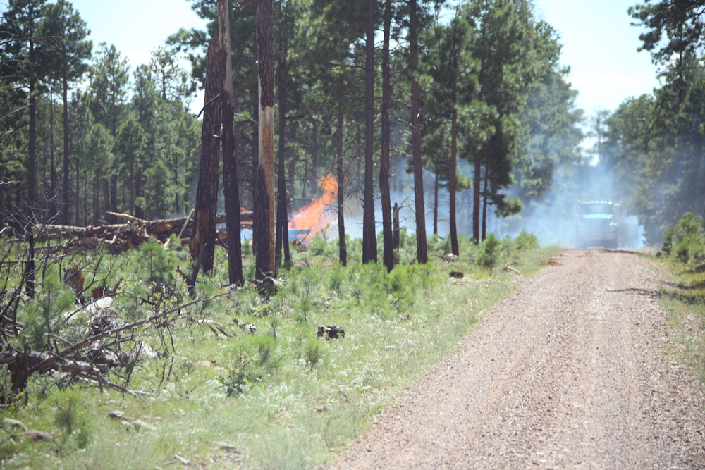
We
traveled for many hours without seeing another vehicle, on-coming or
parked, and then came upon what appeared to be a forest fire.
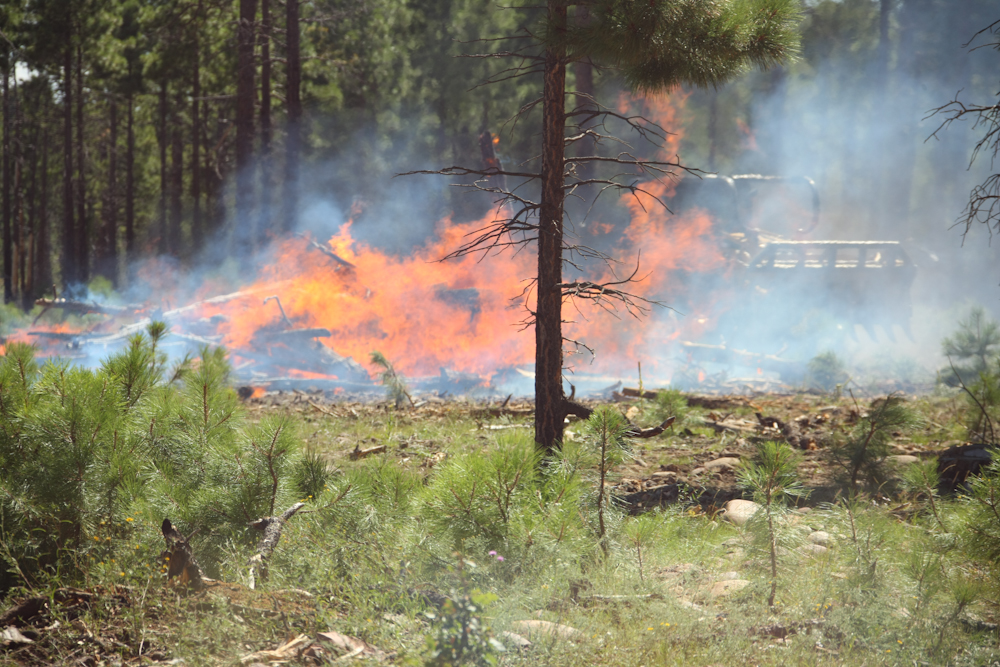
The
fire turned out to be a controlled burn set by the U.S.F.S to clean up
debris left over from a huge fire some years back. In the photo
above, you can see a bulldozer piling logs into the fire to keep the
limit of the fire constrained.
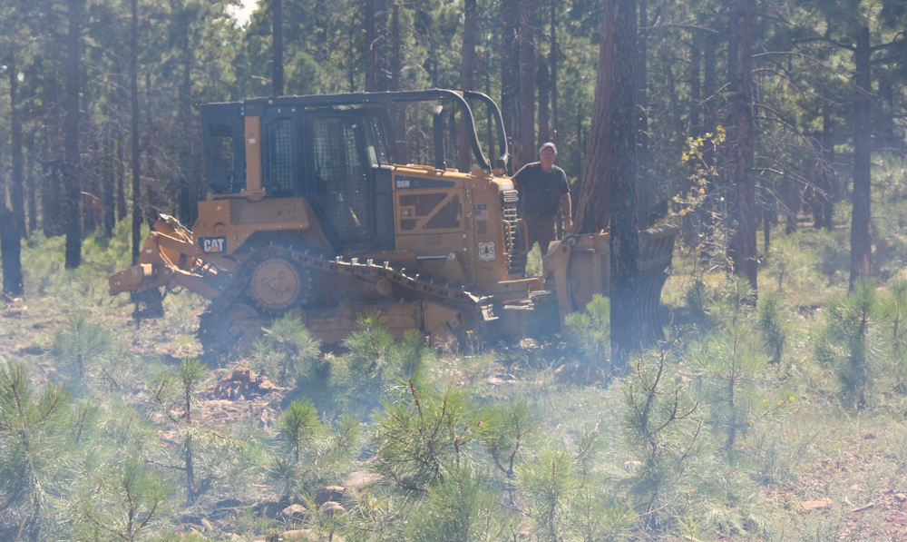
When
the dozer driver saw the mog, he stopped what he was doing and came
over to check out the 1300 (look at the expression on his face!).
Then, he told us a story about towing an abandoned 404 out of the
nearby forest and getting title for the vehicle because the owner was
unwilling to pay the tow fees. A 404 Unimog for only $800 is a
pretty good deal, even if it had issues. We chatted about mogs in
general and our trip, then continued on to the west on the Rim Road.
We
saw his handy work a number of places to the west of where we met the
dozer driver. He was managing several burns at once. The
bare trees in the photo above show the effect of the previous fire.
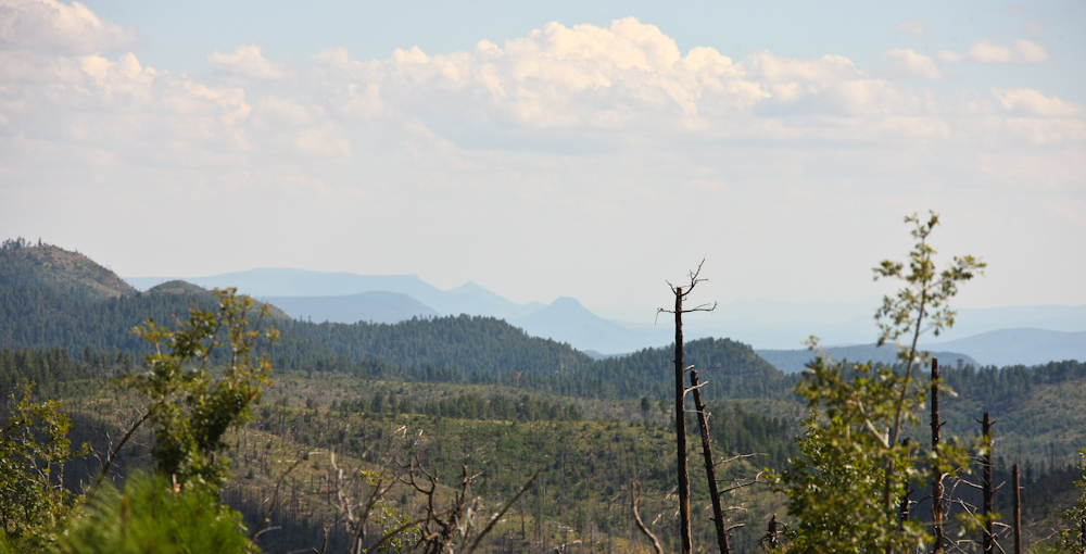
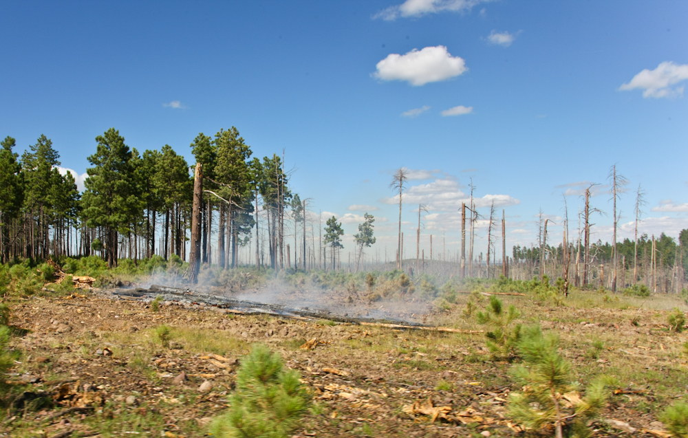
Occasionally,
the Rim Road passed through areas where the brush was thin enough to
allow us views of the cliffs of the Mogollon Rim. Note the
volcanic cinder cone in the center of the photo above as well as the
areas that the forest fire impacted.
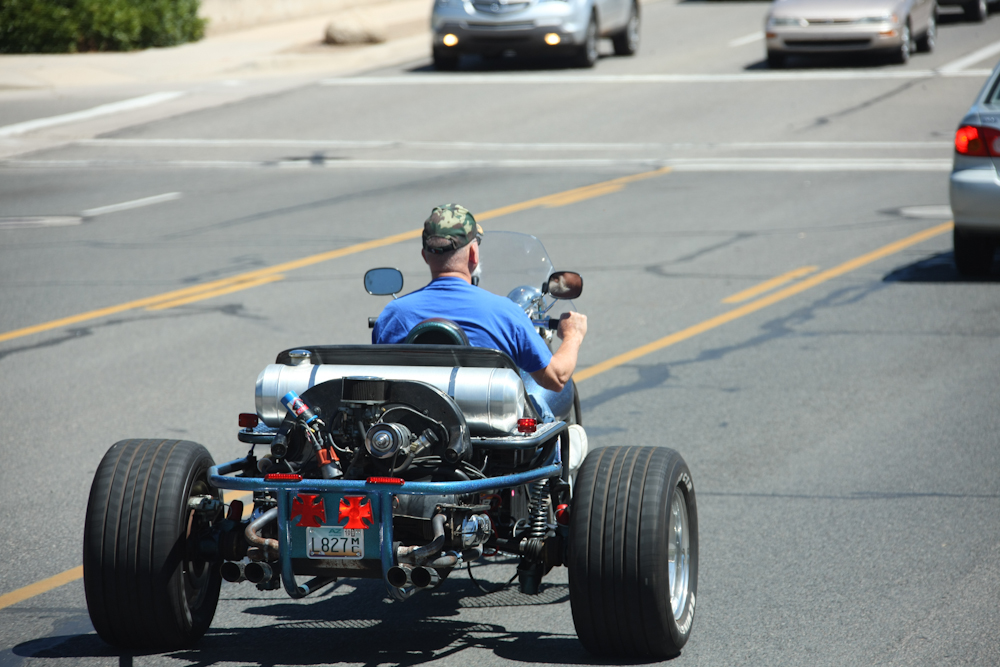
We
traveled on to the Chino Valley area to check on a friend's rental
property. Near Prescott, we spotted another Frankencycle made
from a butchered VW chassis.
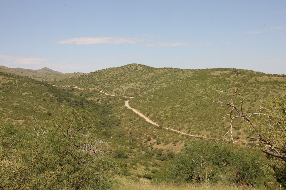
From
Prescott, we traveled to Phoenix to meet with friends. Then we
headed south to Oracle, AZ to see more friends. From Oracle, we
decided to head south over the backside of Mount Lemmon and then into
Tucson. This area has had a reasonable amount of rain and the
hills were nice and green. The road in the center of the photo
was our route of travel and would take us over the 9,000 foot Santa
Catalina mountain range.
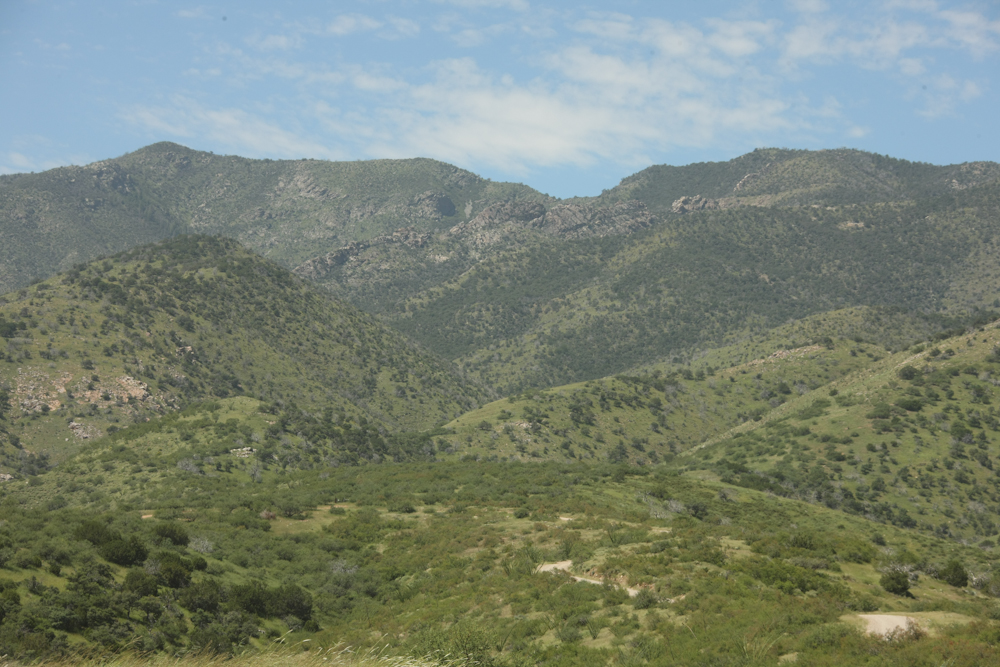
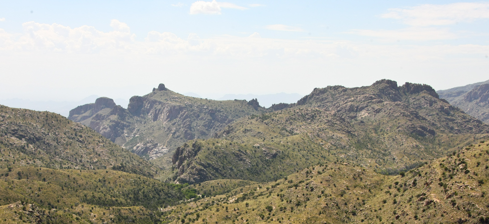
The
hills got more rugged as we went higher into the range.
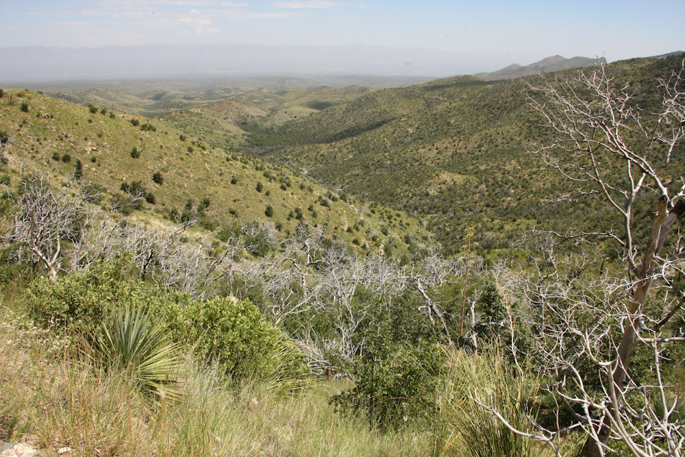
From
the higher hills, we had nice views of the San Pedro Valley. But,
for some reason, the air quality was poor this day. Most of the
peaks in the distance were obscured by the haze.
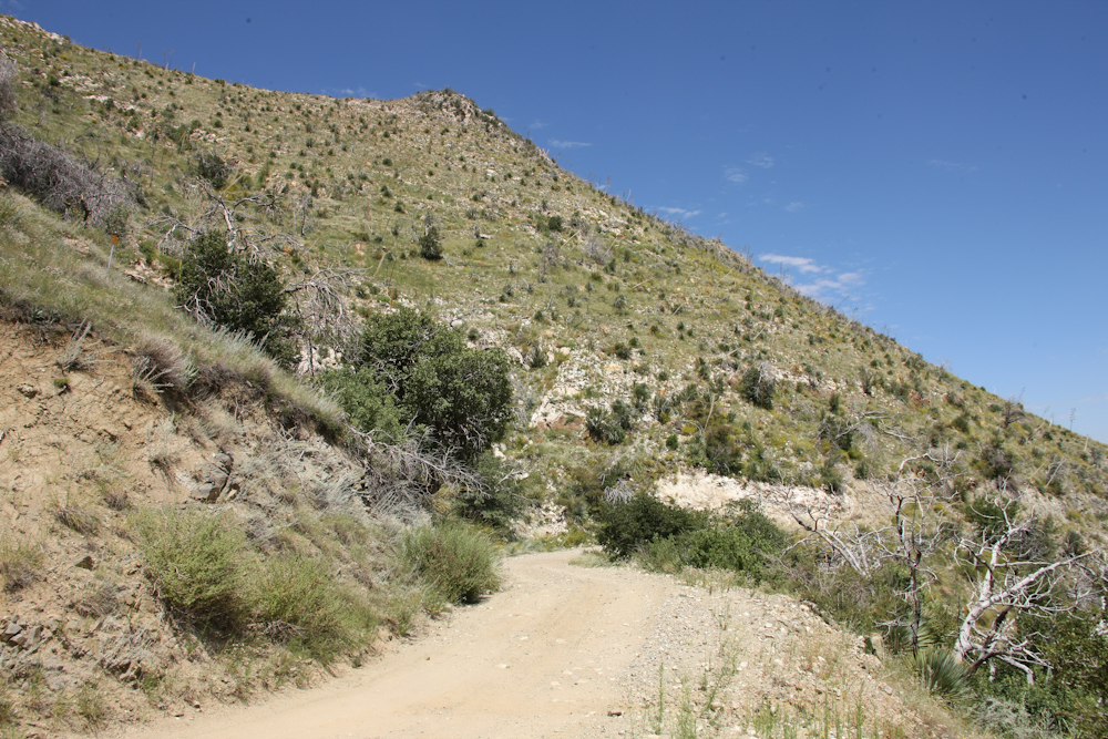
The
terrain was getting steeper and the road more narrow. The quality
of the road was never bad, but the ruts and rocks made for slow, rough
travel.
There
were a number of mines in the upper reaches of the hills of Oracle
Ridge. We passed mining infrastructure along the road.
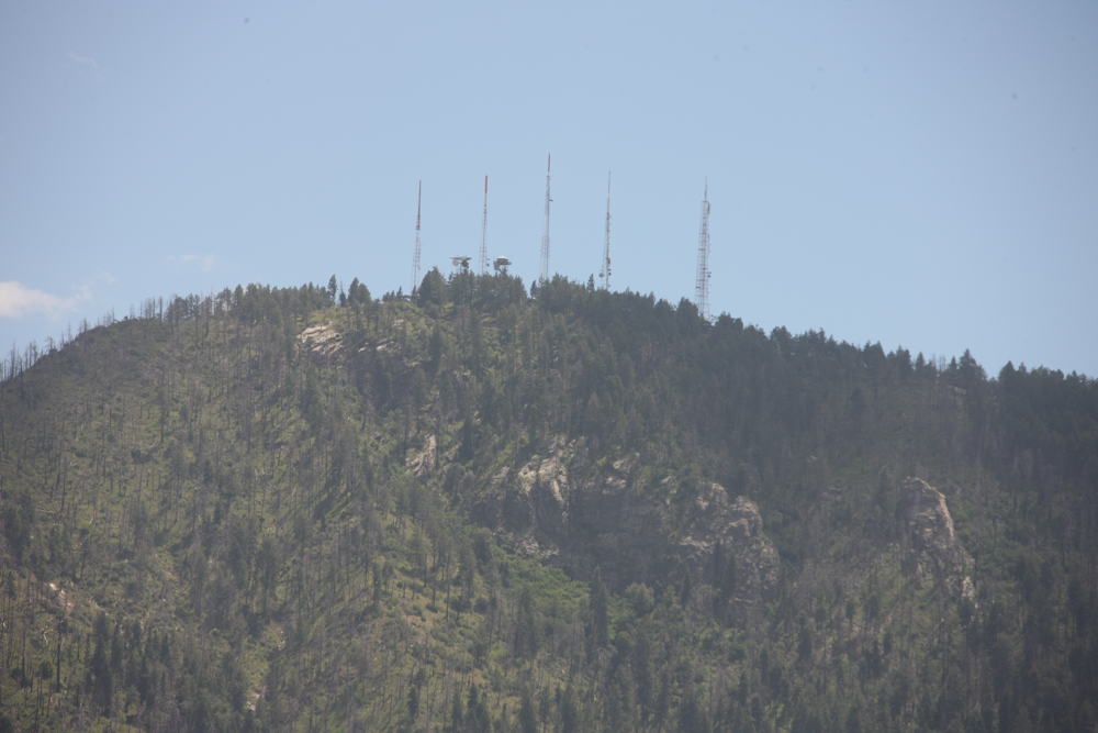
Our
objective was just below Mt. Bigelow, the highest point in the
range. Like most mountains in the west, there is some sort of
communication infrastructure on the peak. In this case, there
were TV transmitters, standard radio transmitters, a cell tower and a
U.S.F.S. fire lookout tower on the peak. Note that the north side
of the peak had been recently burned in a large fire.
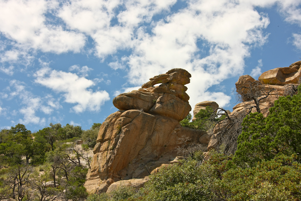
Once
we crested the Santa Catalina range, we hit the paved road and we
turned south toward Tucson. The Catalina Highway has been greatly
improved since my last trip on it many years ago. The road is
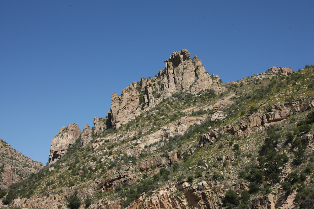
much wider and the turns are not as tight. And, in many locations
large turnouts have been added. Above is a photo of a hoodoo near
Windy Point.
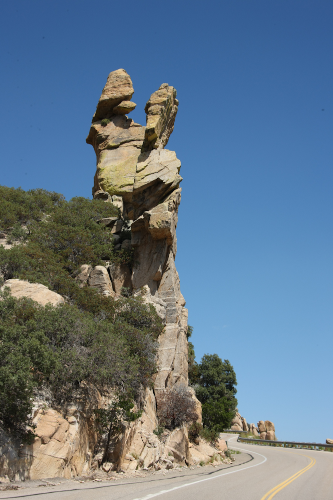
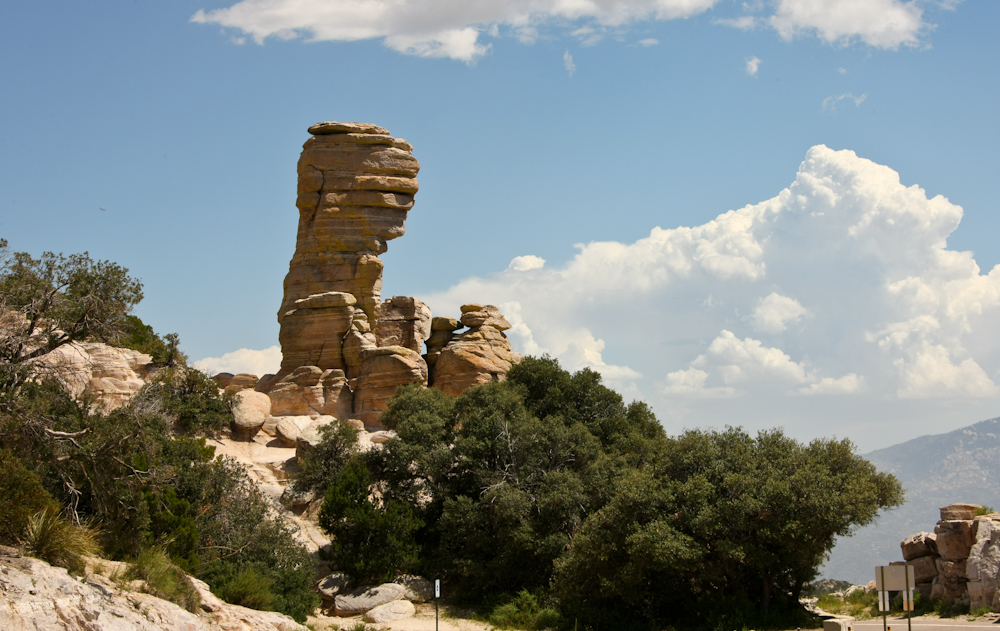
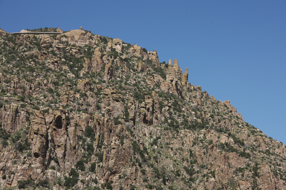
There
were a number of interesting rock formations visible from the highway.
Note the jug handle arch in this formation.
The
General Hitchcock monument at Windy Point. Note the thunder
clouds building in the distance. We would get rain later in the
day.
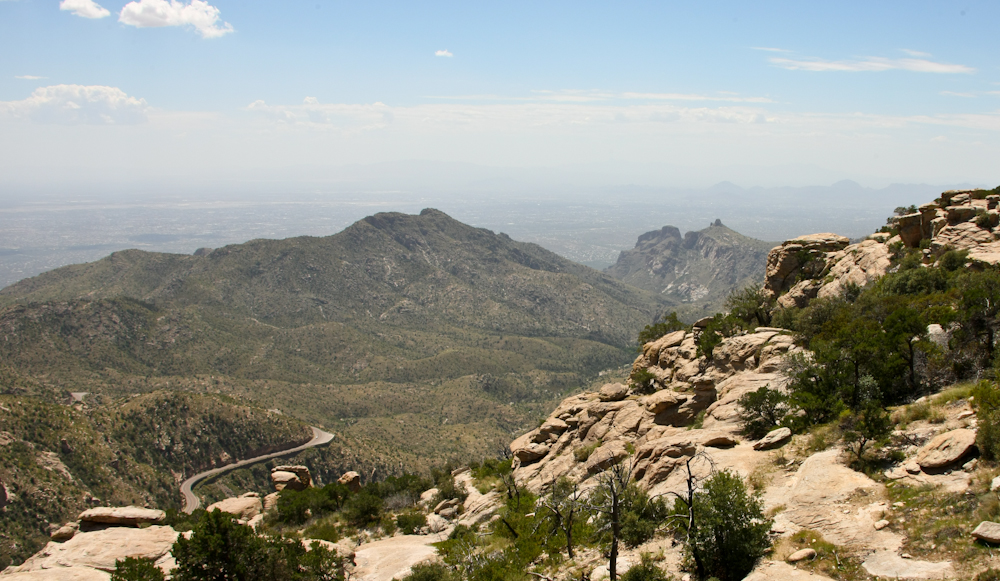
From
Windy Point, we had a great view of the Tucson valley. At the
right of the photo above, in the distance, is Thimble Peak.
Thimble
Peak is a volcanic plug and is bounded by daunting cliffs. There
is no easy way up Thimble Peak.
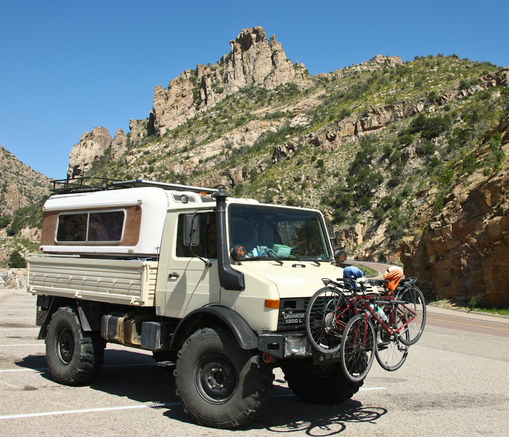
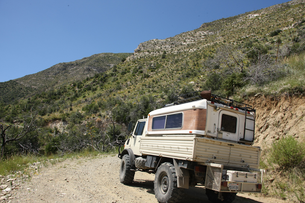
The
mog still looked pretty good after nearly 20,000 miles of travel.
There
were substantial cliffs visible from the highway.
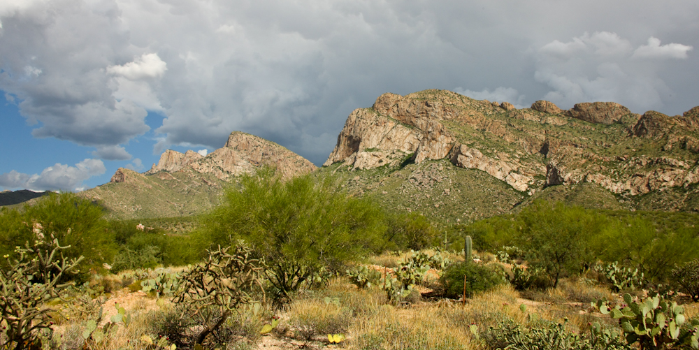
Our final destination for the day was the parents house near Pusch Ridge. The thunder clouds continued to build in the east and provided a nice contrast to the front-lit cliffs of Pusch Ridge.
We spent a few nights in Tucson and saw some old friends. Then, we headed west on the interstate back to San Diego. Somehow, we were lucky: our travel day was one of the hottest days in the recent past. But, knowing that it was coming, we left early and missed the worst part. Our return trip was uneventful, except for the heat.
Our
conclusion to this 6 month trip was a bit anti-climactic; we have
traveled this segment of road many dozens of times over the
years. But, it went without event. We were happy to be home
despite the issues we faced upon our return. The action list is
nearly infinite, but over time we will get a handle on things.
| Previous Adventure | ||
Photos
and Text Copyright Bill Caid 2010, all rights reserved.
For your enjoyment only, not for commercial use.