We left NOLA after having a fantastic dinner at one of New Orleans' 4 star restaurants, Stella. The food was excellent and the service was impeccable. Pricey, for sure, but we both felt that it was worth it. Particularly since we found out from the hostess that there was typically a 2 MONTH wait for tables. We were lucky enough to get same-day reservations.
From
NOLA, we headed east through Mississippi and Alabama toward the Florida
Panhandle.
The photos below are what we saw.
Damage
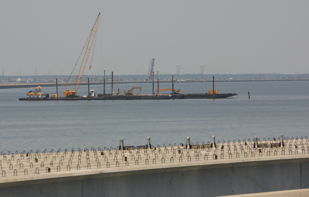
from Katrina was still being repaired. Some sections of the
highway were new, like the one above. For construction over
water, barges with large anchoring poles are brought in. The
barge is positioned, and the poles are lowered until they dig into the
soft lake bottoms. Once the barge is positioned, the actual work
can begin.
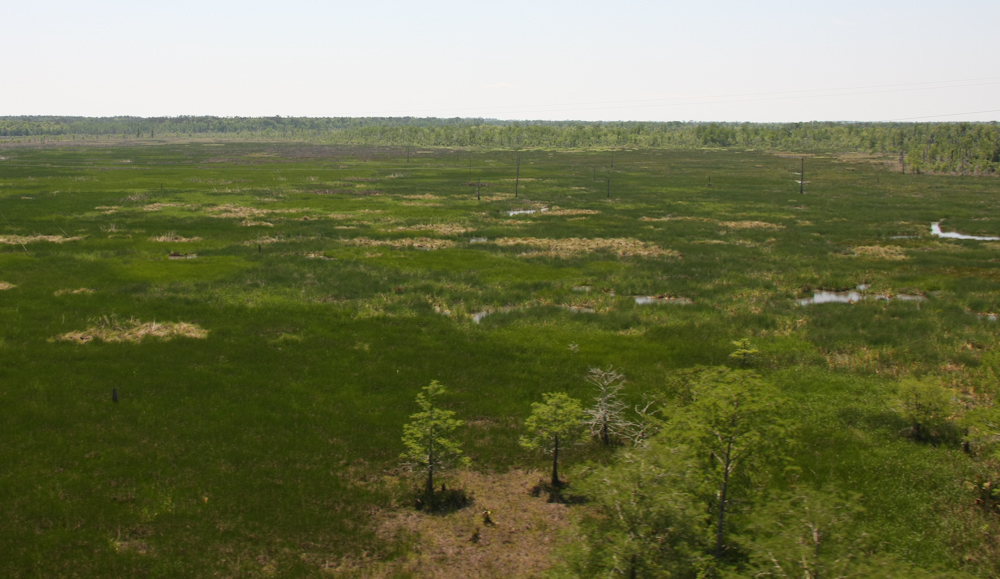
From
one of the elevated points on the highway, we could see some of the
surrounding swamps.
We
stayed at a convenient RV park in southern MS and then continued east
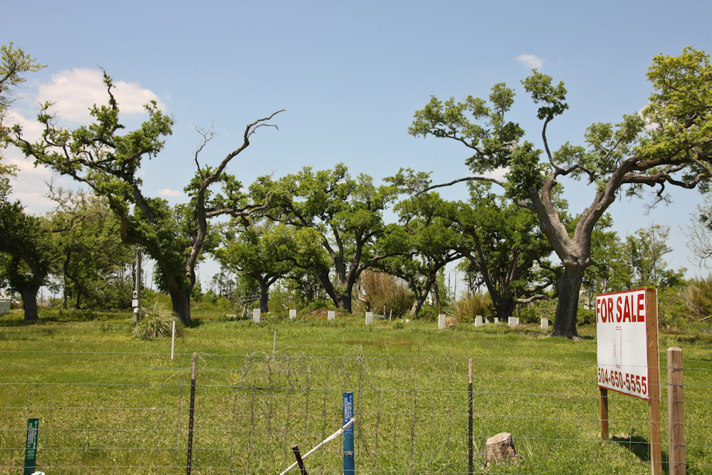
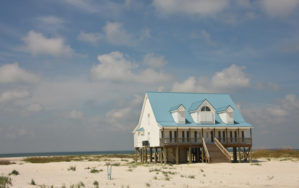
on US 90. When we hit Waveland, MS we went to the beach.
There were still many areas that were distroyed by hurricanes and many
beach-front properties were for sale. This one is right across
the road from a beautiful, sugar sand beach.
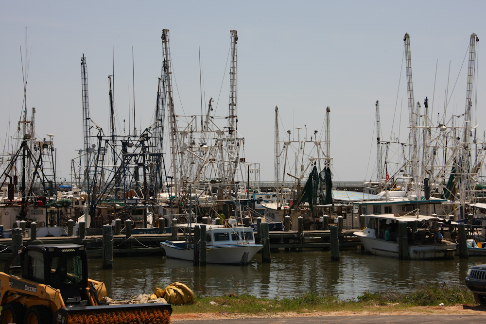
Big
portions of the nearby marina were recently rebuilt.
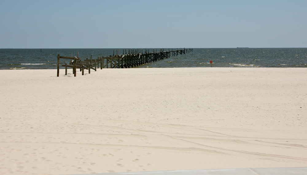
The
beach was beautiful, but as you can see above, the storm destroyed the
pier.
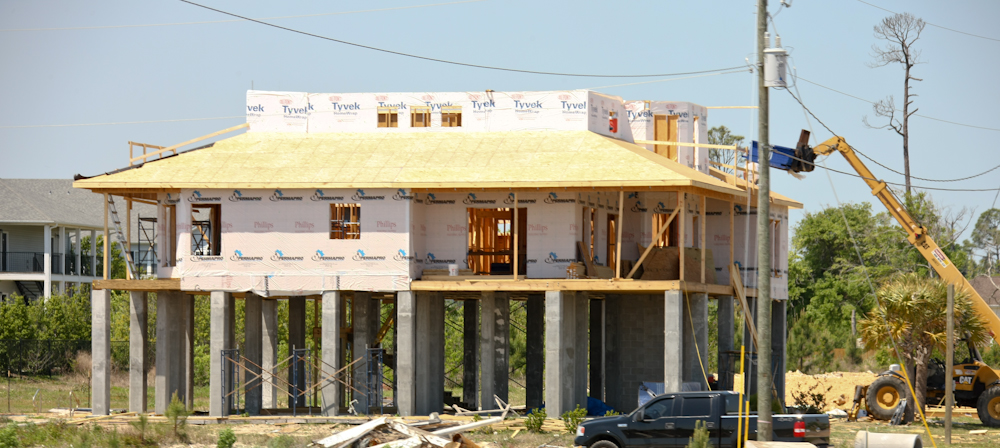
The
construction was in progress nearly everywhere along the beach.
Like many of the homes in the area, they were being rebuilt on elevated
pilings to prevent damage from storm surge and high tides.
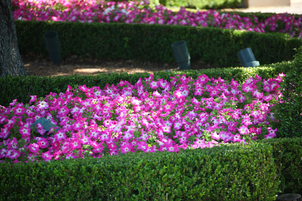
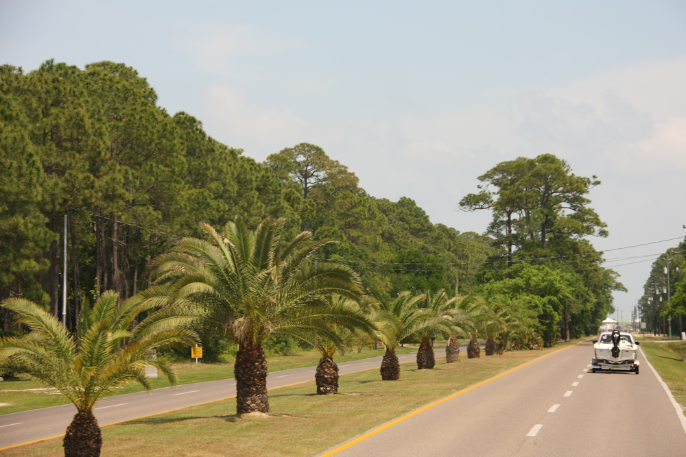
We
spotted some nice landscaping on the outskirts of Biloxi, MS.
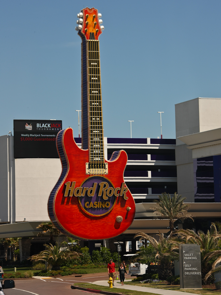
Biloxi
had casinos and looked rather like Las Vegas.
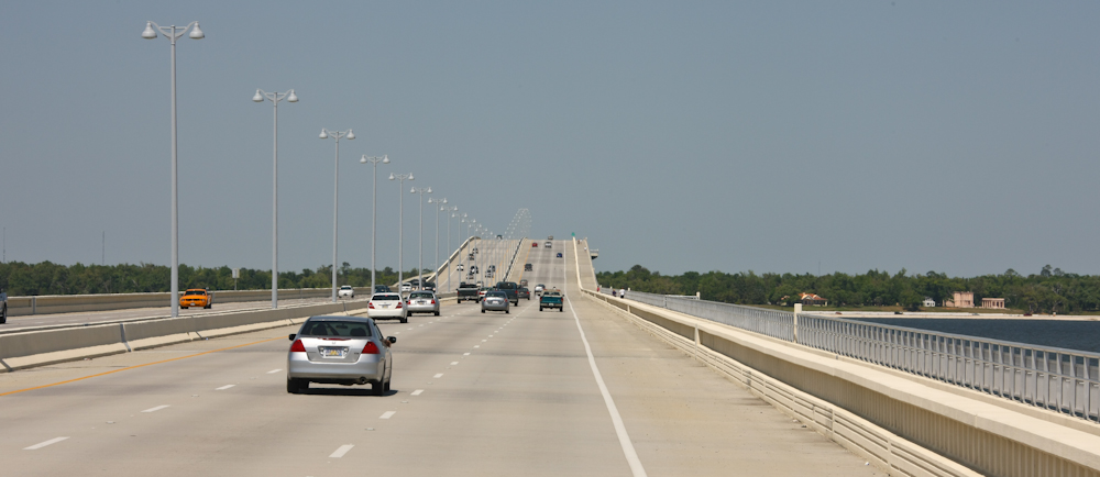
Note
the new highway.
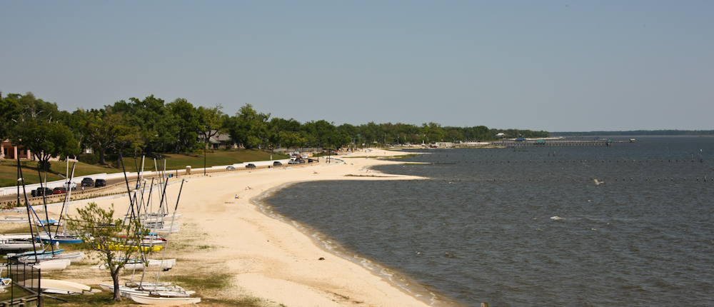
The beach areas were very beautiful and in my opinion, much better than SoCal. Plus, the water is warmer.
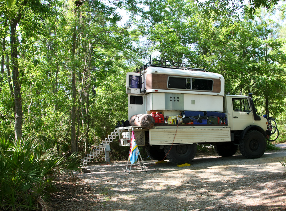
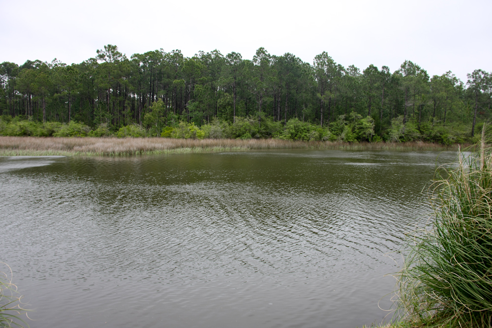
We
ended up staying in a Mississippi state park next to a small
bayou. The area was thick with vegetation and insects to match.
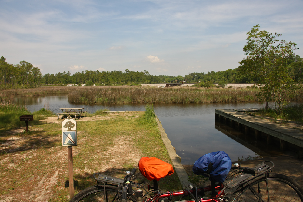
The
park had a nice boat ramp that provided access to the bayou.
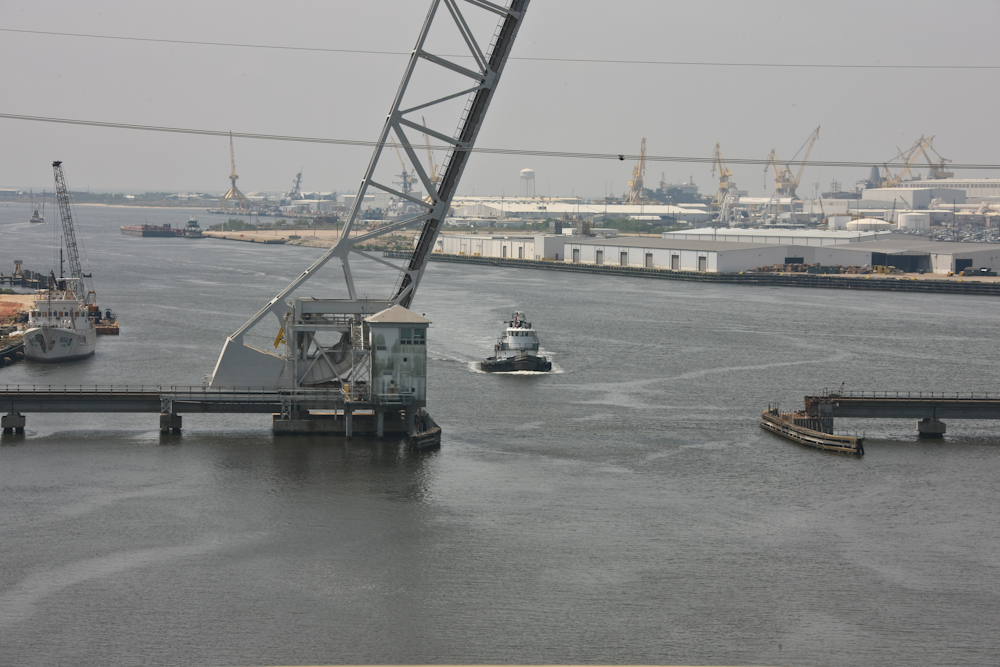
We
continued east and near Mobile Alabama, we passed plenty of marine
centric infrastructure. Above, note the drawbridge for the
railroad that is elevated to allow passage of the tug boat.
Do
you suppose that this fellow was the butt of a few crude jokes in high
school?
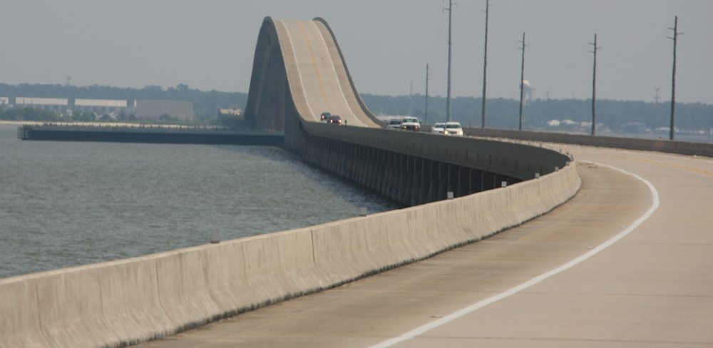
Any
bridge that crossed the intracoastal waterway had to be able to pass
large ships, resulting in a steep hill in the road. Given the
flatness of the land, the top of that bridge is likely the highest
place for 50 miles in any direction.
We
drove out to Dauphin Island and it was a very pretty place. Our
original intent was to stay there for the night, but we discovered that
it is a very popular place and since it was Friday and we did not have
reservations, we had to move on to plan B.
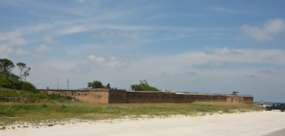
The
east end of Dauphin Island holds an old navy fort that guarded the
entrance to Mobile Bay.
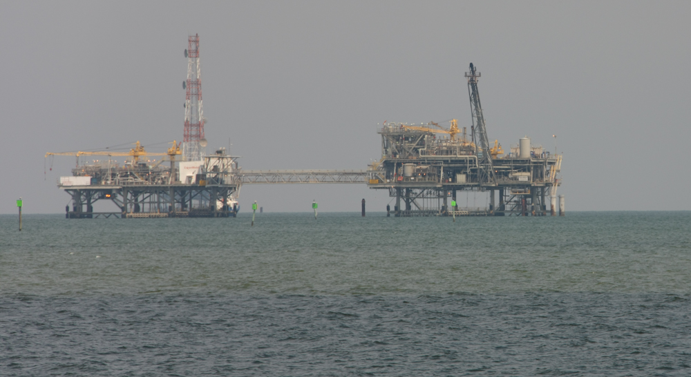
From
the fort on Dauphin Island, we could see that plenty of drilling
activity is going on in the bay. How much of this is new versus
Katrina repair is unknown to me and nobody I talked to knew either.
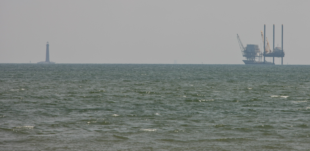
In
the distance, you could see the channel lighthouse as well as the
drilling rigs. Those 2 rigs were being serviced by a cargo ship
bring supplies.
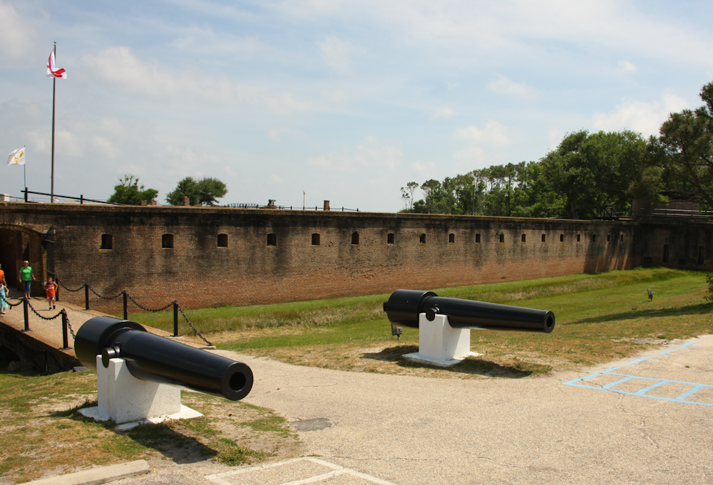
The
fort was actually quite small and low to the ground. But, it did
support a number of cannon points that were seemingly sufficient to
control access to Mobile Bay. We were on a mission to find a
place to stay for the night, so we did not go in.
A
number of the homes on the island were very nice and had direct beach
access. And, direct access from storms.
We
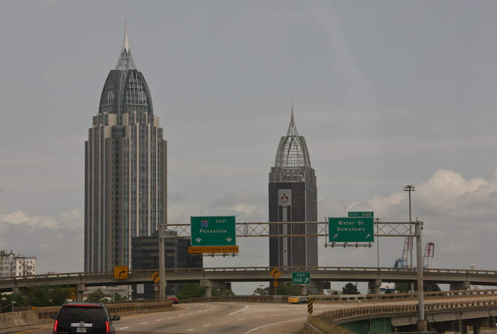
went into Mobile to meet a unimog buddy Sean Malloy for lunch.
Along the way, we got a nice view of downtown.
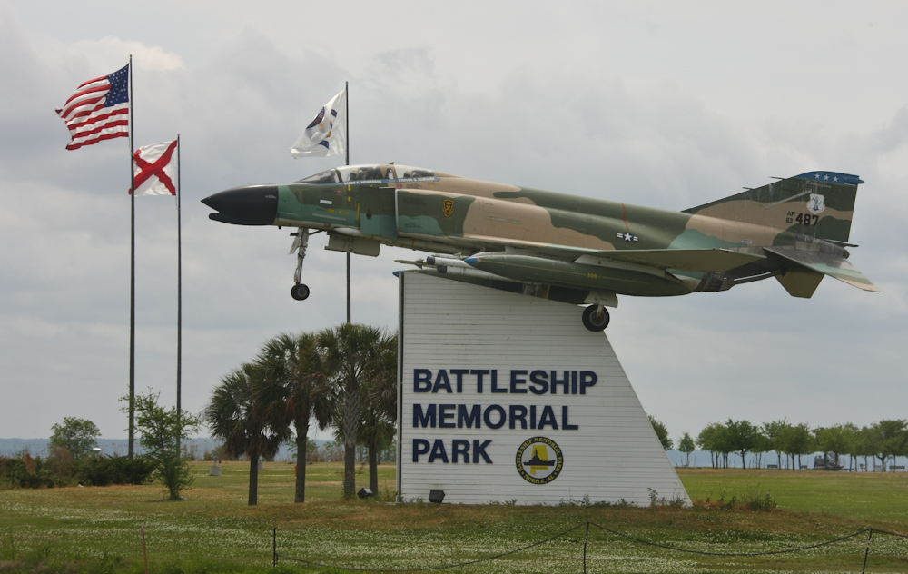
We
were a bit early for our meeting, so we decided to blow some time at a
park near our restaurant. Battleship park holds the USS Alabama
as well as other military equipment such as planes and rolling
stock. Above is a Vietnam era F-4 fighter.
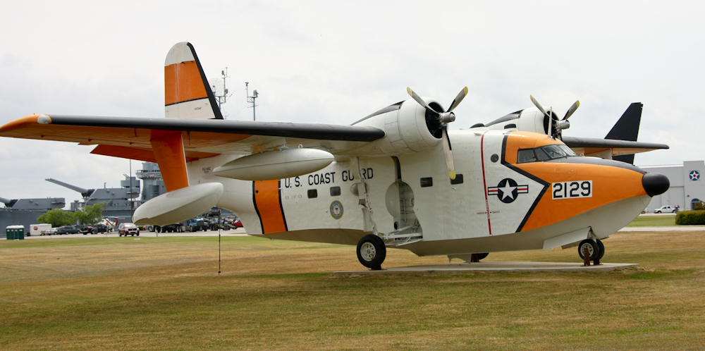
A
nice Coast Guard sea plane.
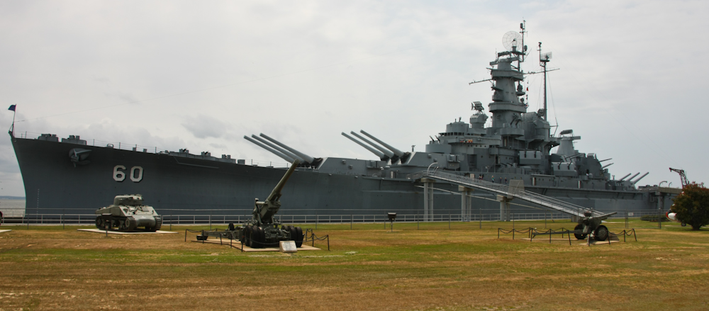
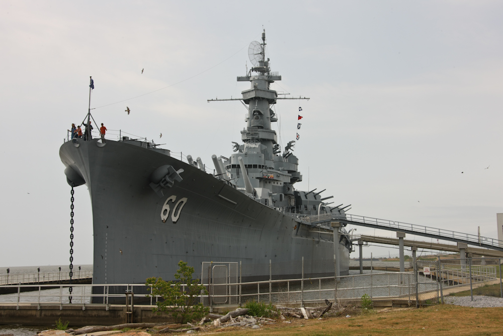
The
battleship was very impressive and was surrounded by a number of other
pieces of military hardware.
You
can get a sense of scale of the ship by looking at the people on the
bow of the ship.
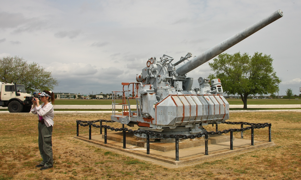
This
is a 5" training gun. Kathleen is shooting a photo of the ship.
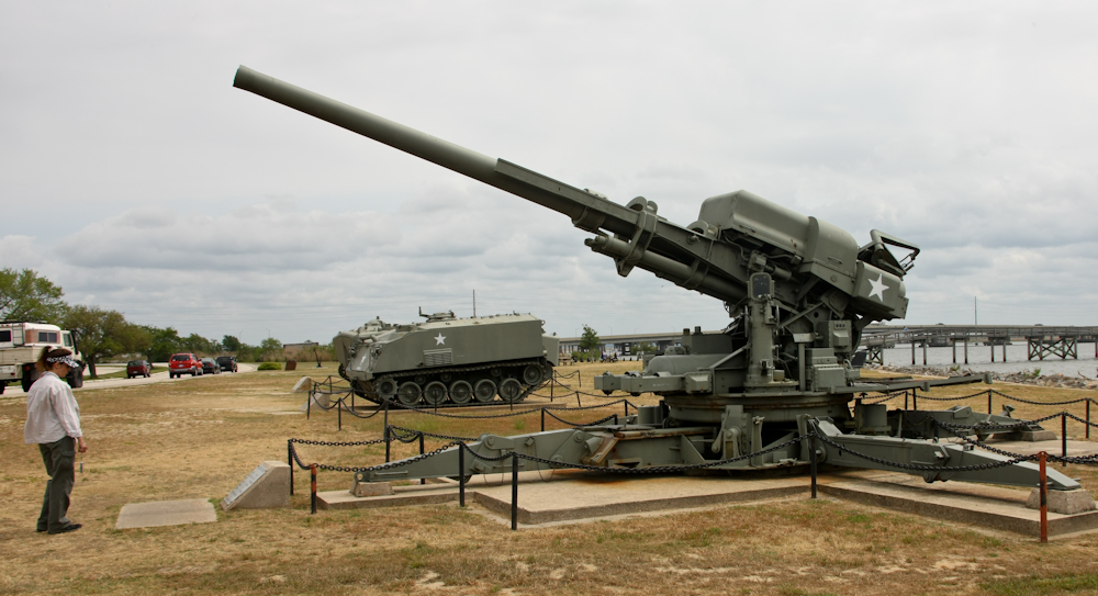
This
is a 120mm anti-aircraft cannon. Behind it is a tracked armored
personnel carrier.
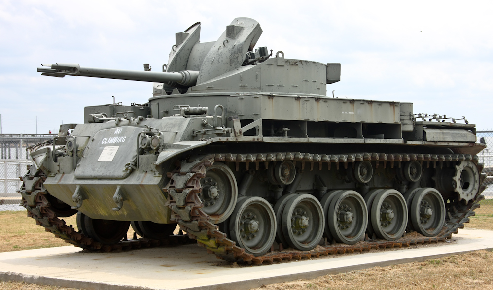
A
"Duster" 40 mm double cannon.
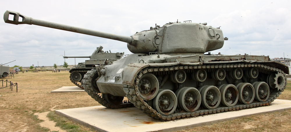
A
classic M60 main battle tank from the 1960s. This guy weighs
nearly 60 tons when fueled and armed.
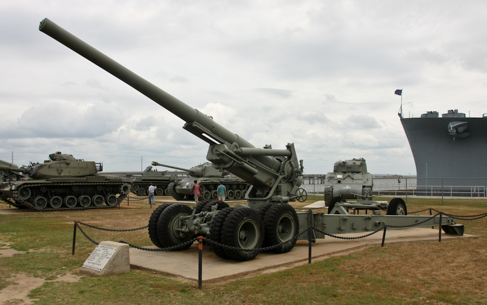
A
mainstay of the U.S. army since WWII -- the "Long Tom" 155mm cannon.
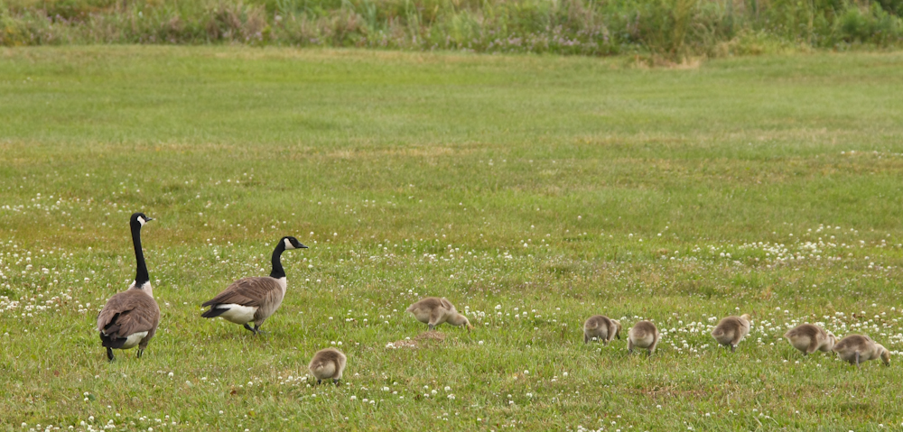
In
the park we saw this family of geese with chicks.
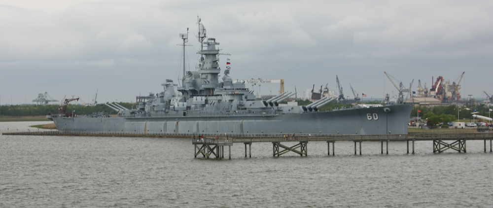
After
we left the park and crossed yet another causeway, we got a better side
shot of the battleship. We had lunch with Sean Malloy, a fellow
mogger, who just happened to be in Mobile.
From
Mobile, we headed east along I-10 for the first time in many
weeks. We generally attempt to stay off the freeway since nearly
all freeways look the same. We headed to the Pensacola, FL area
and stayed at a place on Indian Bayou. The view above is out the
back door of the camper. We had some heavy rains that night and
discovered that Florida has the BEST bugs. My favorite are the
ones that bite but are so small that you can barely see them. The
locals call them "no-see-ums" appropriately enough. The screens
on the camper were ineffective on the small bugs, they just fly right
through.
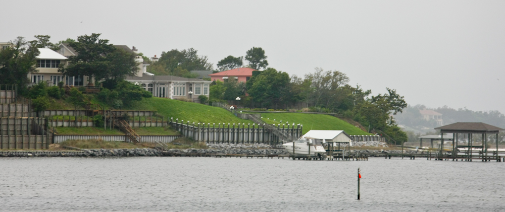
On
the east side of Pensacola in Gulf Breeze, we encountered some really
nice waterfront homes.

We
traveled east to Destin, FL. The Destin area is heavily built up
and is a tourist mecca. It was Saturday afternoon and the traffic
was some of the heaviest we have encountered so far; many miles of stop
and go which is SO fun in the mog. The area has several state parks
that are right on the beach. The first park we went to was full,
so we kept heading east. The second park had one site available.
Somebody left about 15 minutes before we arrived and despite the
"campground full" sign at the entrance, we decided to check anyway and
were pleasantly surprised. The park had nice white sugar-sand
beaches and dunes. We spent the night there and the site that we
were assigned turned out to be one of the best sites in the whole
place. Above is a shot of the barrier dunes on the beach.
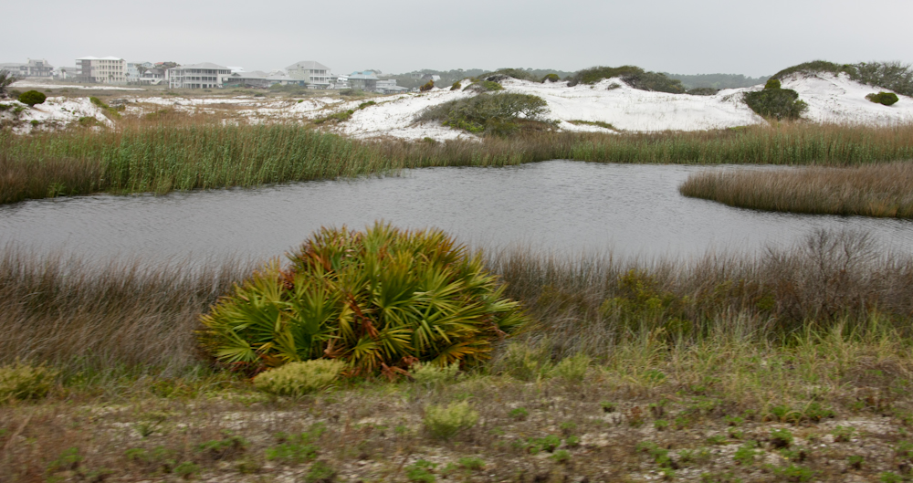
Above,
you can see more of the barrier dunes and the massive build-out to the
west of the park.
This was an interesting segment of the trip. The area of travel was "fully civilized" and other than the state parks that we stayed in, there were no remote areas around. Travel on the beaches was illegal, so we did not go, but instead opted for the state parks. The park in Mississippi was quite low grade, but the two Florida parks that we stayed in were first class. Nice site, clean facilities that were in good repair and at $25/night a smokin' value. Tomorrow, we will head from the Destin area toward St. George Island and another camp at a state park on a barrier island.
| Previous Adventure | ||
| Trip Home Page |
Photos and Text Copyright Bill Caid 2010, all rights
reserved.
For your enjoyment only, not for commercial use.