The photos below are what we saw.
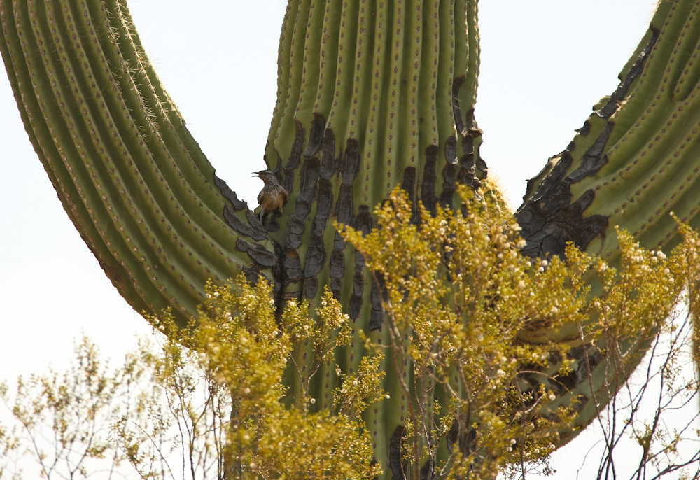
The cactus wren is the state bird
of Arizona and I caught this fellow in the act. The damage to the
sahauro is due to the pecking of the wren.
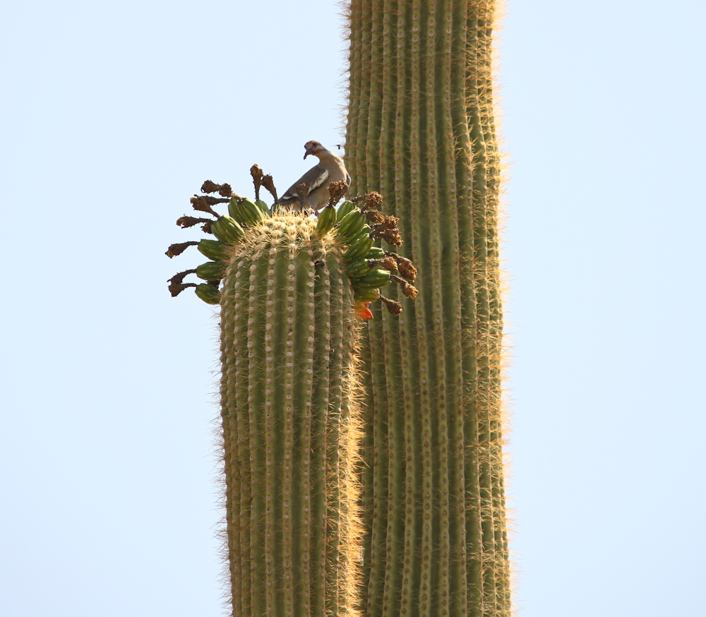
This sahauro also provide both
food and sanctuary for this dove. They eat the flowering fruit of
the sahauro.
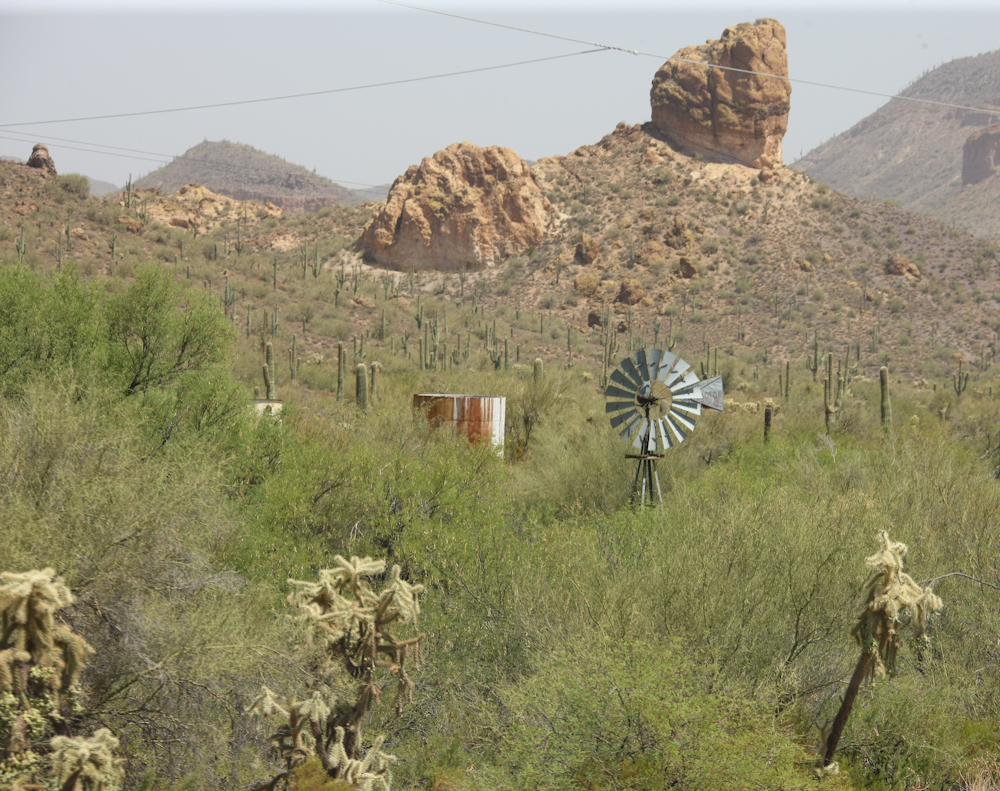
The windmill is an enduring symbol
of the American west. Without the wind-powered pumping of water,
most life in the area would have been impossible.
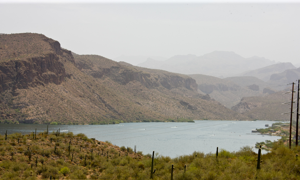
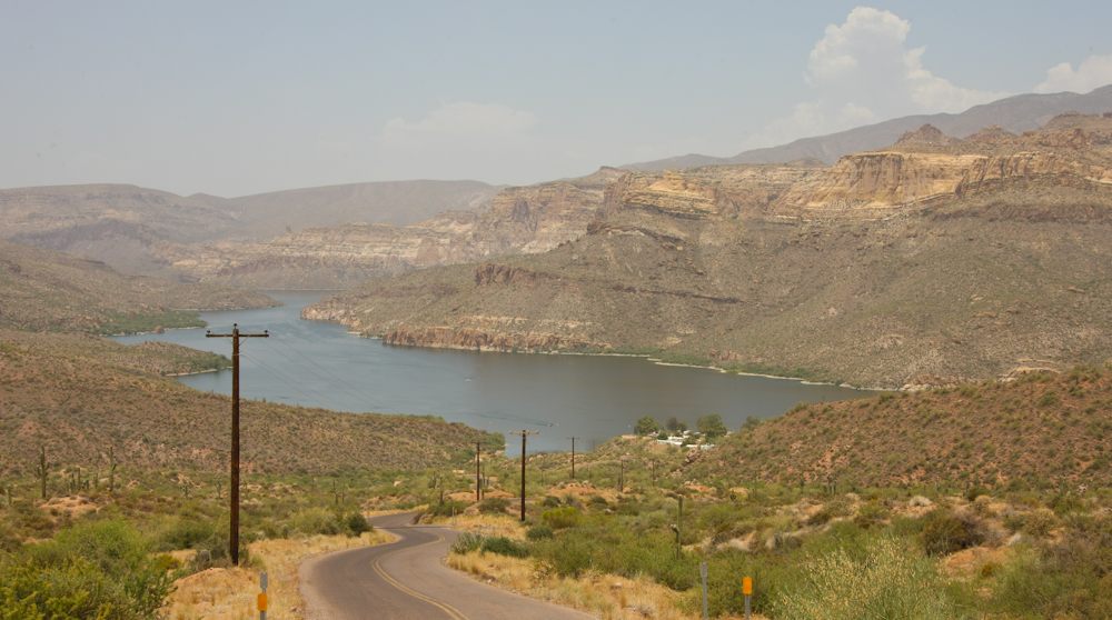
Our first view of Canyon Lake on
the Salt River. The Salt River is managed by the Salt River
Project (SRP) that was set up at the turn of the century to harness the
river and provide flood control, irrigation and power to Phoenix.
The big dam at the top of the canyon is called Roosevelt dam and was
finished in the early 1900s. Since then a string of dams have
been added to the river downstream, several of which provide boating
for the locals. The large power lines on the right come from the
dam's powerhouse.
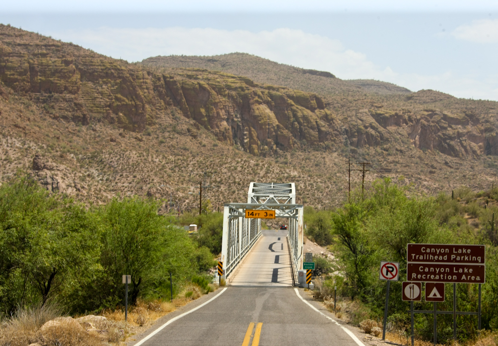
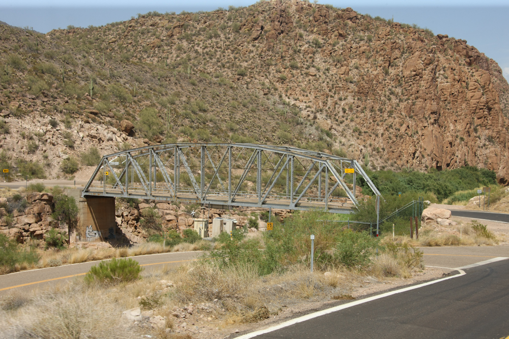
The first of a number of narrow
one-lane bridges that we would encounter.
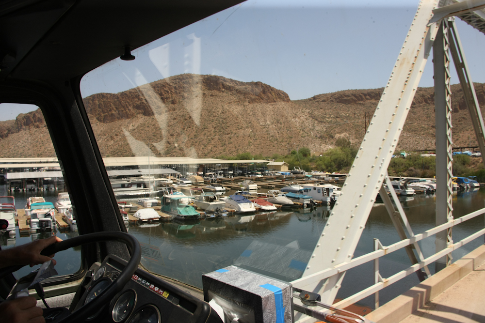
Many boats were stored at the
marina. It would be much easier to store the boat than trailer it
on the narrow road.
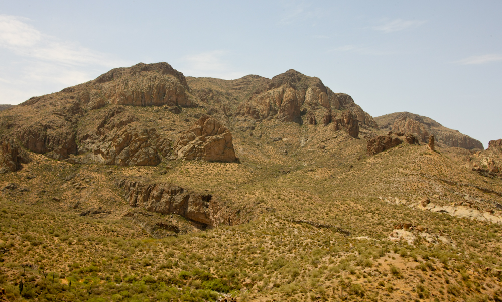
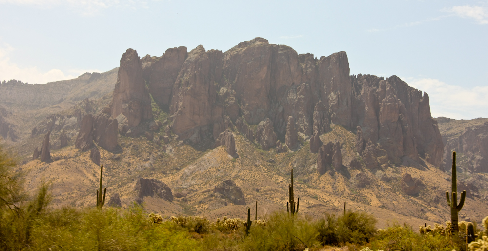
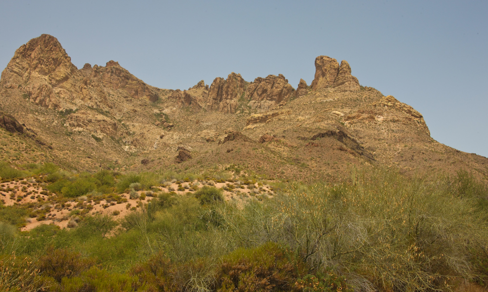
The stark desert mountains
provided great views.
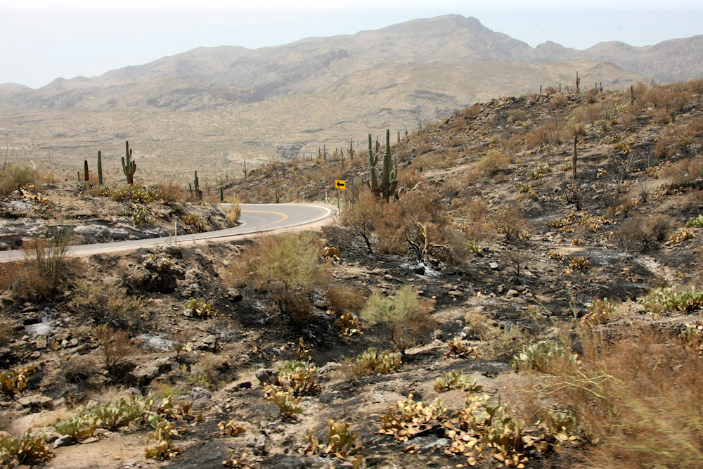
When dry, even the desert is at
wildland fire risk. I am sure that this burn was caused by a
cigarette thrown from a passing car.
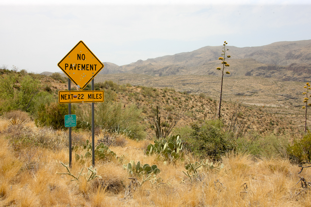
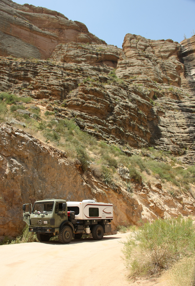
We knuckled down for some dirt
work. Interesting to think that some think that the local
government puts road signs up as targets. I am sure that the same
fellow that shot the sign also threw the cigarette butt.
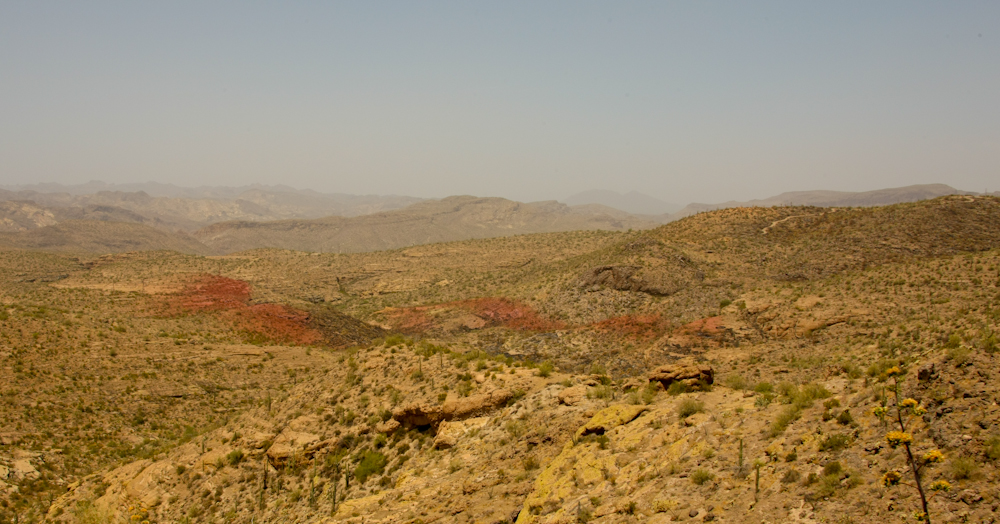
The scope of the fire was bigger
than we thought. The red coloring on the hills is from fire
retardant dropped from the fire-fighting planes. The dye allows
them to see where they hit.
As we dropped into the Salt River
canyon, we could see the old road that provide passage for travelers,
freight and construction of the Roosevelt Dam.
The grade was steep and we made
heavy use of our exhaust brake.
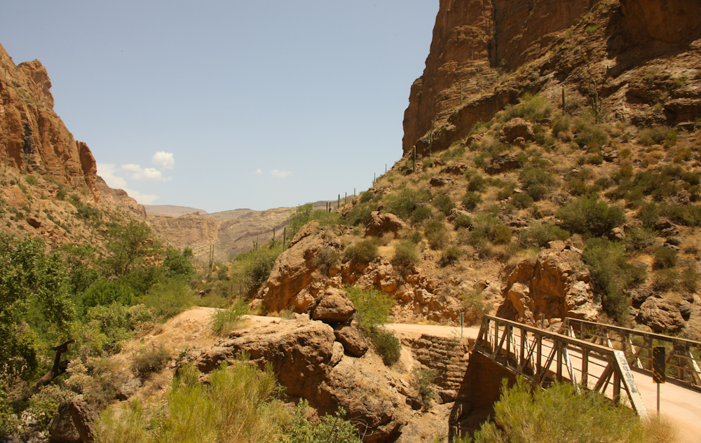
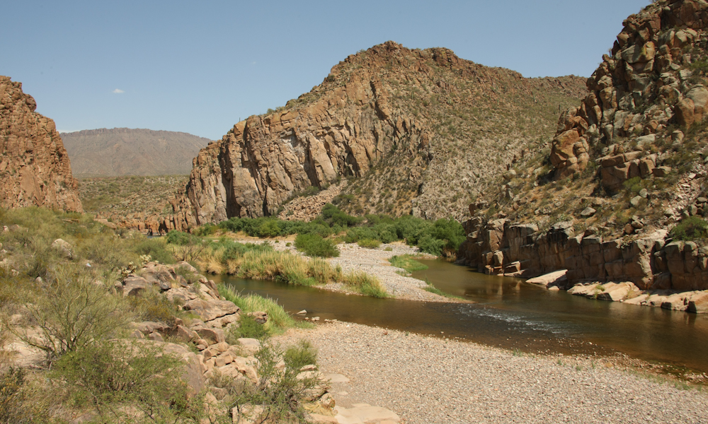
The crossing at the bottom was a
side creek to the main river. Another narrow, single-lane bridge.
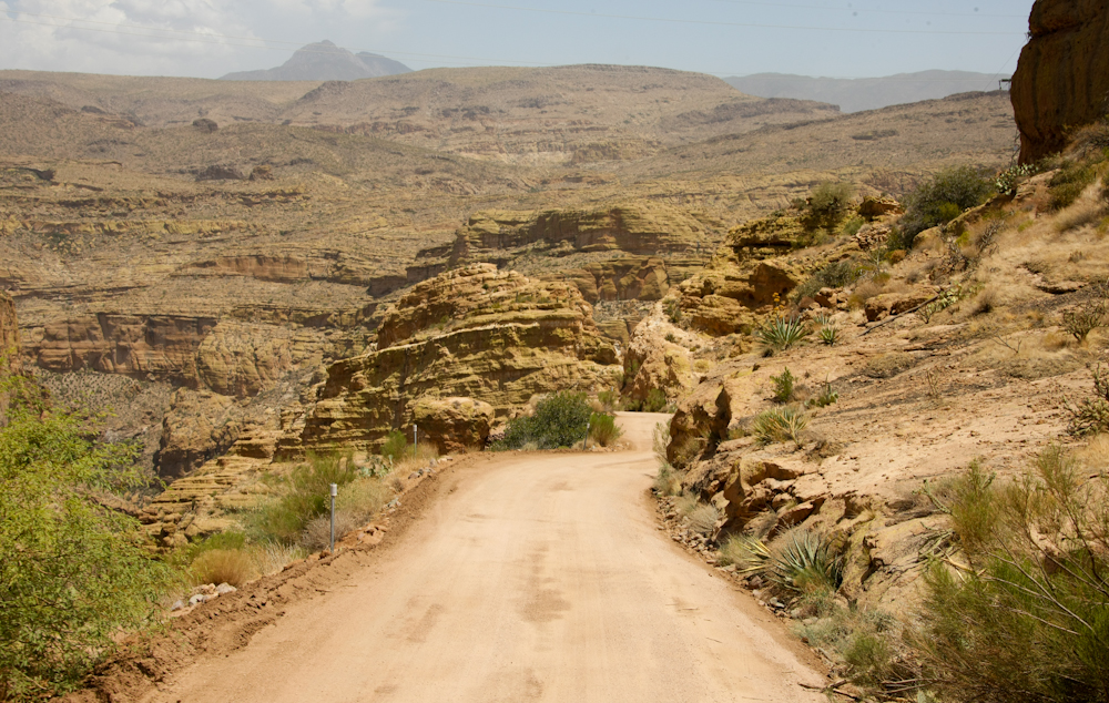
The cliffs were tall and steep.
The volcanic landscape produced
wild shapes.
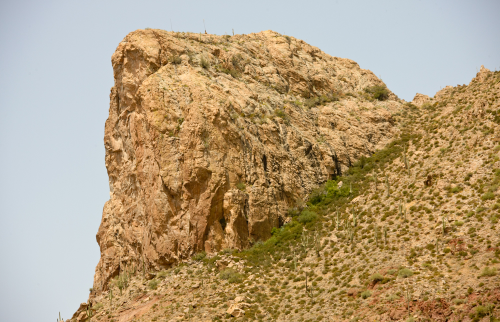
Some of the
formations were impressively large and steep.
There was a sign on the trail for
a restaurant at the marina. And, despite the dirt road up top,
the access to the marina was paved. I am sure that was because it
was so steep that it would have been totally torn up by folks
trailering their boats and slipping the tires causing ruts.
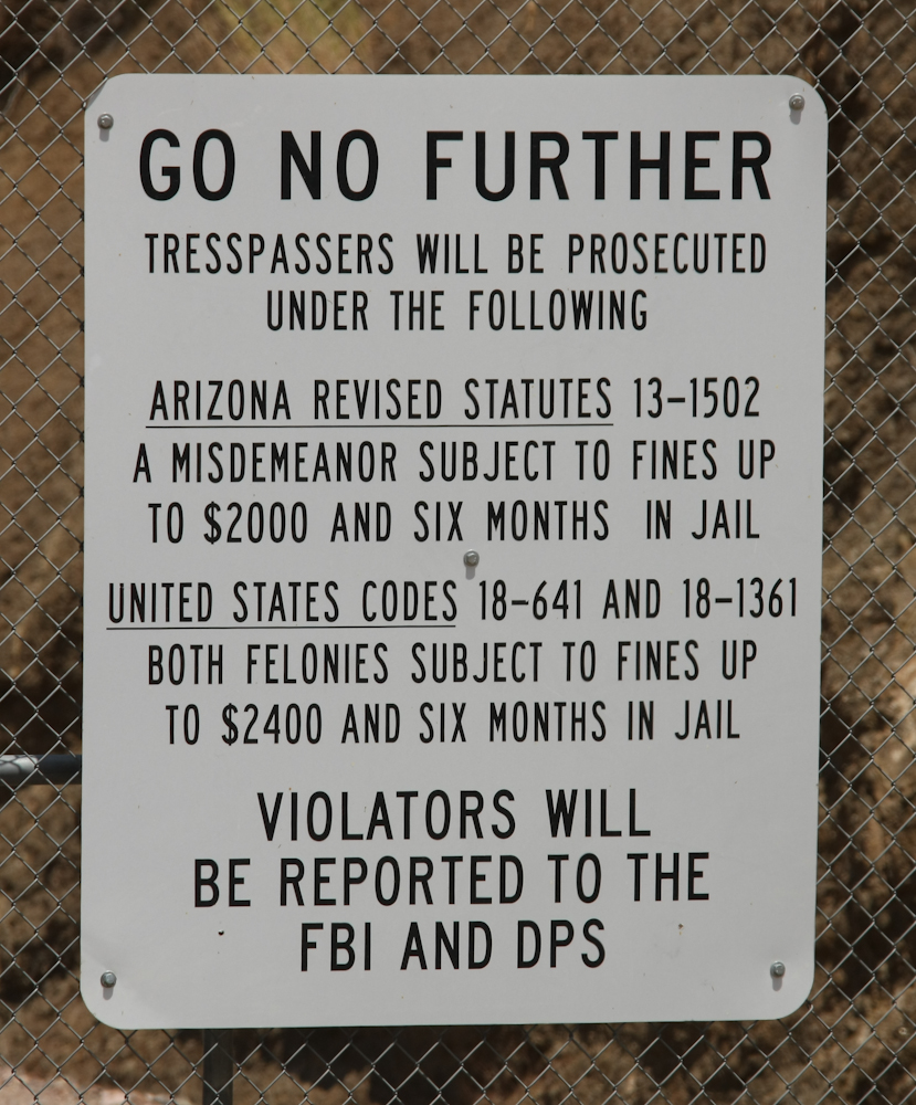
We had an
acceptable lunch at the marina and continued up the dirt road toward
Roosevelt Dam. Just below the dam, we encountered this sign.
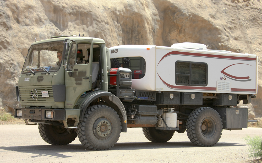
It was sunny and hot and the 1017
does not have a/c so it was a toasty drive. We stopped below the
dam for a few photos.
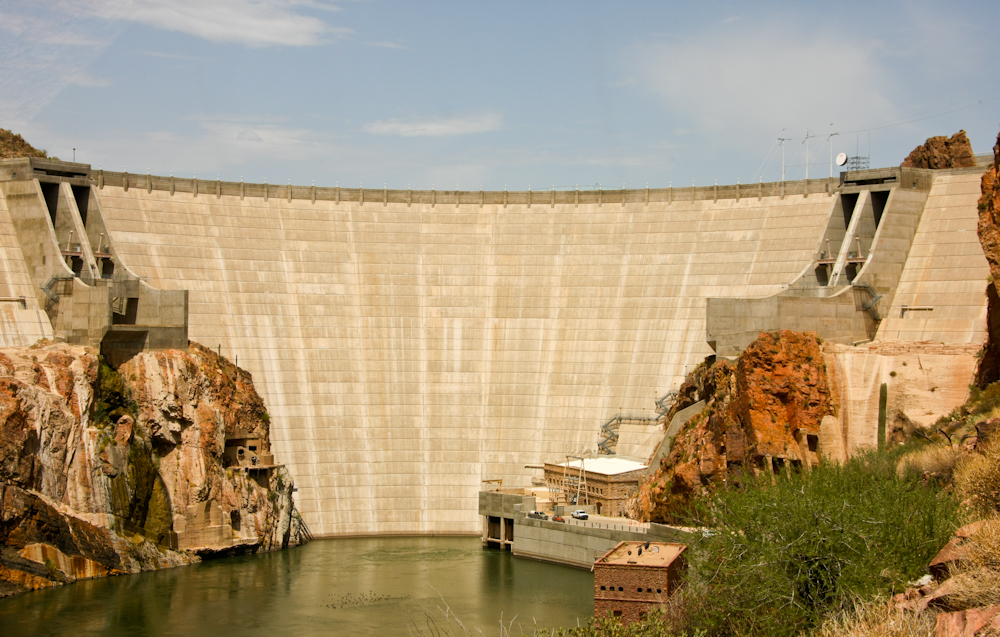
The dam was impressive but has
totally been redone since the last time I was here in the late
1970's. What I recall was a set stone dam constructed of large
blocks hooked together by steel bars. I am guessing that the dam
is within the current concrete structure, but I am not sure. The
powerhouse at the bottom as well as some of the auxiliary buildings are
made of stone and are likely original 1910 vintage.
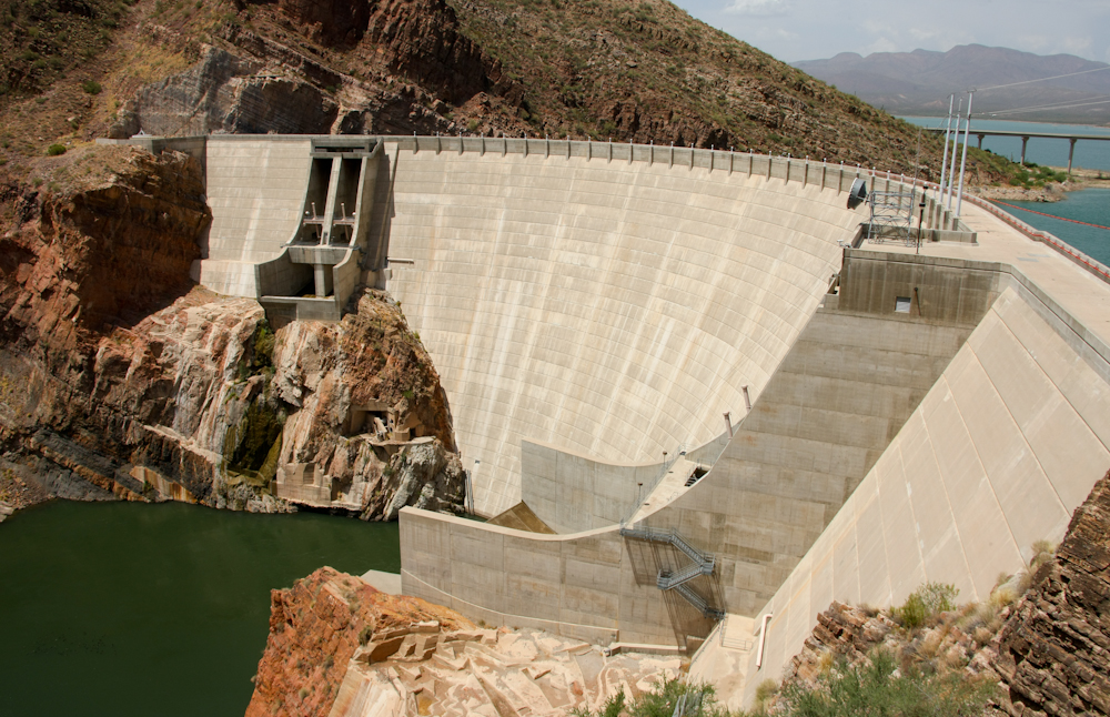
A view from the top.
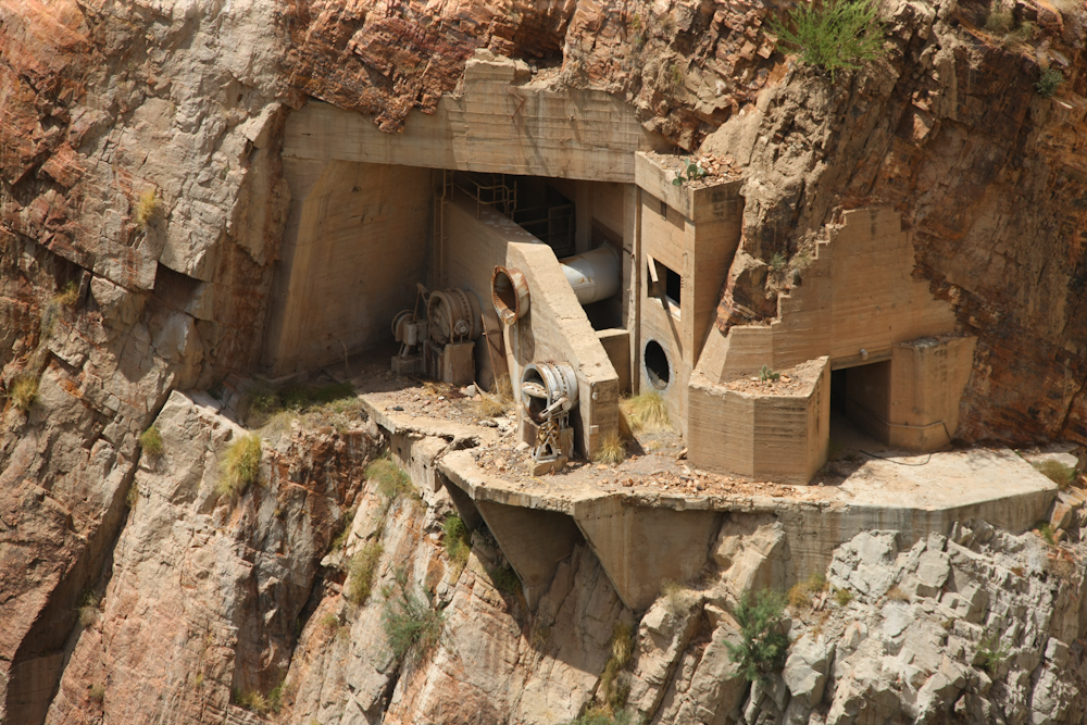
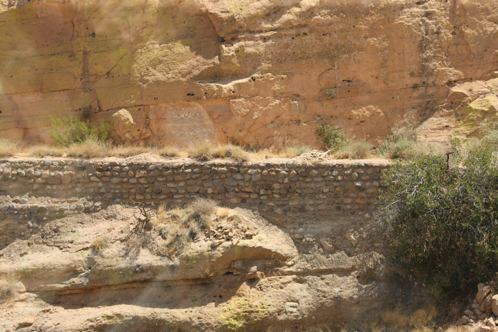
Some of the old
infrastructure was left in place.
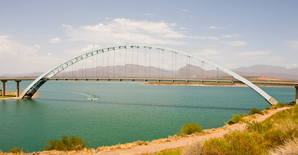
Across the lake
behind the dam, Roosevelt Lake, is this nice bridge.
We traveled the
length of the lake and again crossed the Salt River on our approach to
the face of the Mogollon Rim. This bridge was much less
impressive.
Interestingly, the
Salt River supports many millions of folks and would be called a creek
back east. But here in the arid west, any year-around flowing
water is called a river.
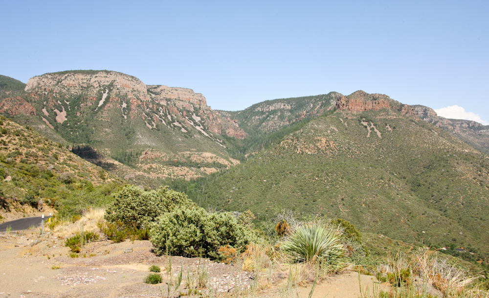
The face of the
Mogollon Rim provided an imposing barrier and steep grades.
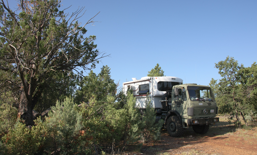
We did a remote camp
near the trail in the pinon and juniper brush. The weather cooled
quite a bit due to the clouds and altitude.
| Previous Adventure | ||
| Trip Home Page |
Photos and Text
Copyright Bill Caid 2011, all rights reserved.
For your enjoyment only, not for commercial use.