The photos below are what we saw.
Every
trip requires preparation and this trip was no exception.
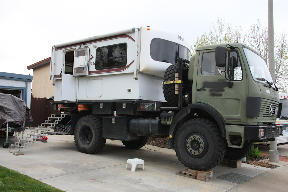
When we load Thor, we usually place it on blocks to allow the
refrigerator to function; like most RV refrigerators, it must be
level to operate correctly.
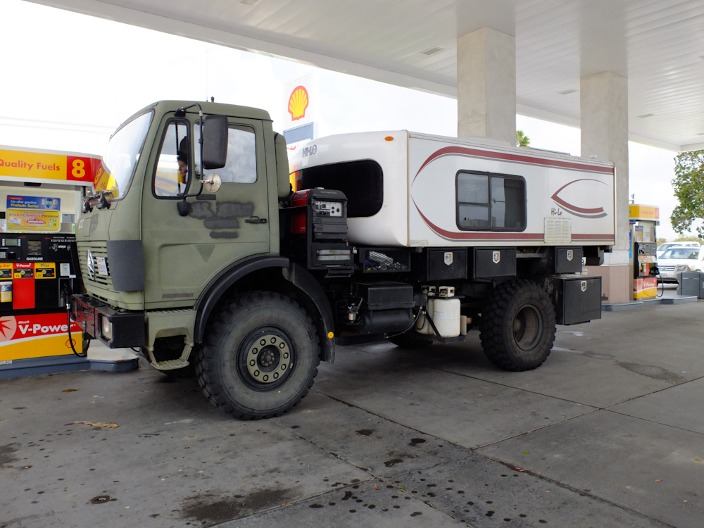
First
stop en-route was for fuel. The price for diesel was about
$4.35/gallon.
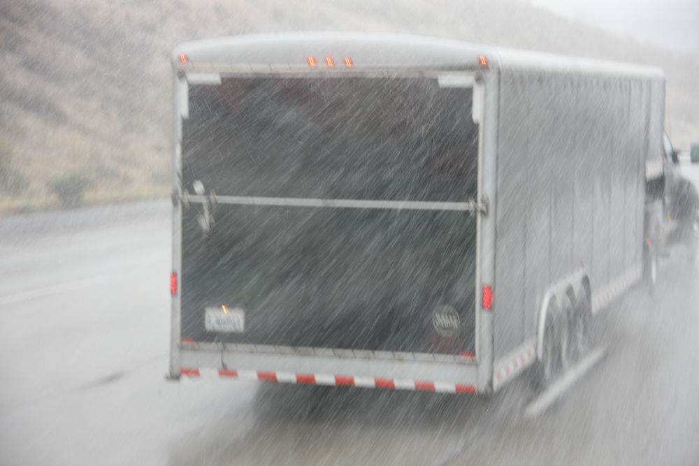
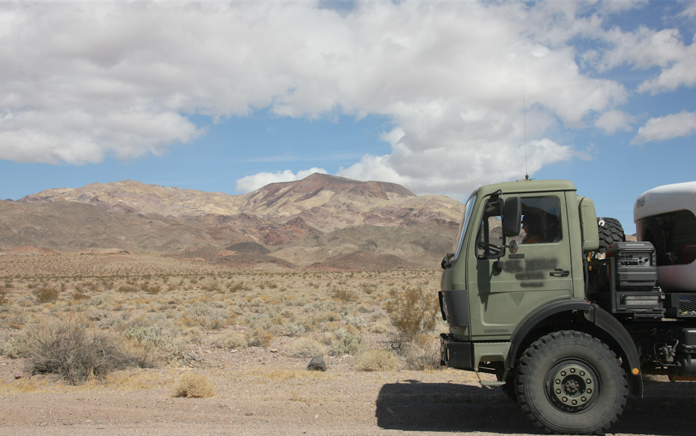
We
met Roberto at the fuel stop. Above is a profile shot of his
1450 with XM-47 tires.
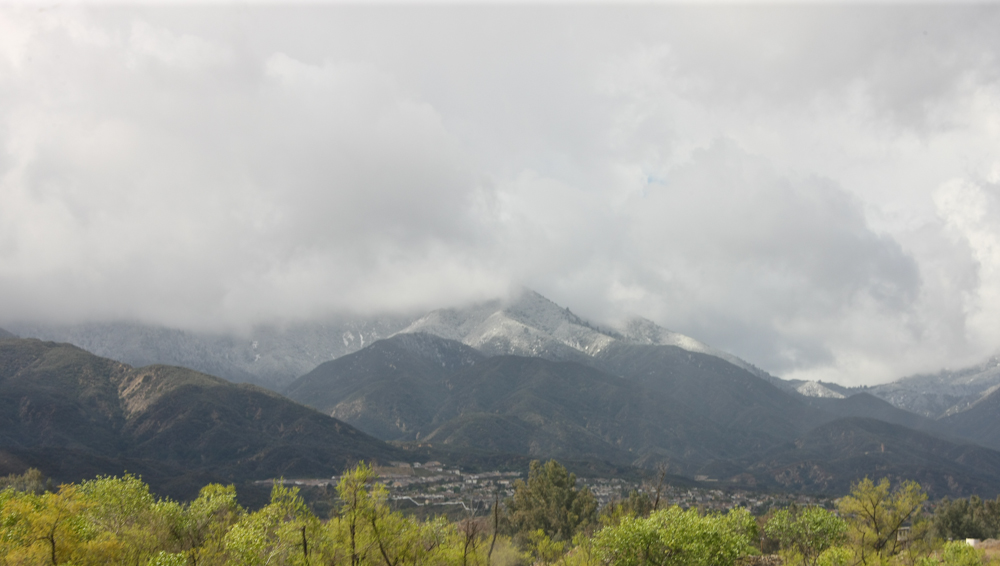
Our
path took us up I-15 past Temecula. As luck would have it,
we suffered a major late winter storm on the day of our
departure. Above, you can see fresh snow on the mountains to
the west of Temecula.
Crossing
Cajon pass was a pain. It was snowing hard, but gladly it
was not really cold enough to "stick" on the highway. That's
good, because I don't have chains for Thor.
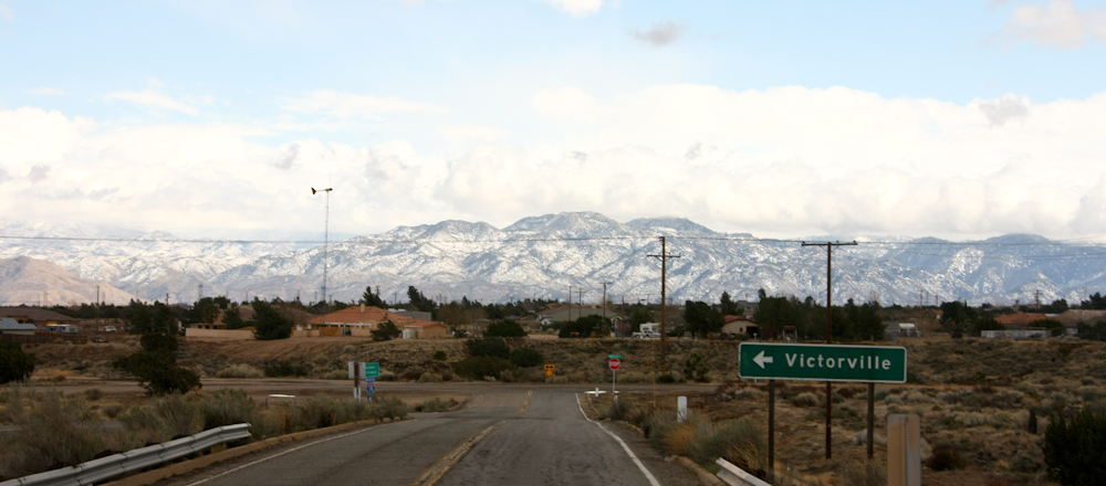
We
met Norm and Mary near Victorville and while we ate lunch, the
weather cleared somewhat revealing snow on the far range.
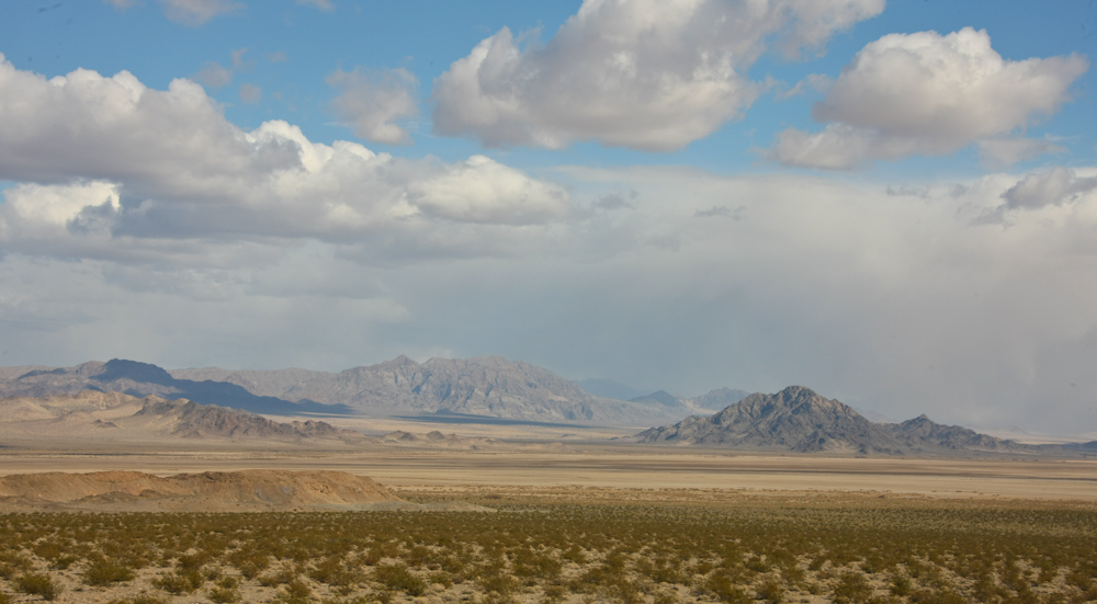
We
encountered strong winds crossing the Mojave desert, but the skies
were generally clear providing nice views of the desert mountains
and dry lakes.
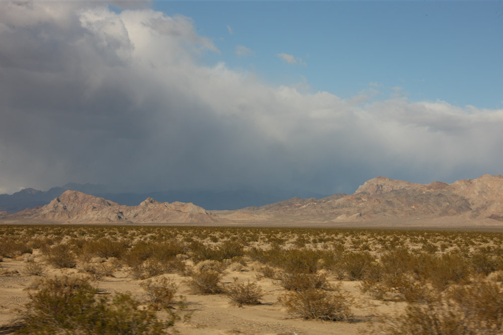
We
re-fueled in Baker, CA and then headed north along CA-127.
To the east of us, the weather was having it's way with the higher
ranges of mountains.
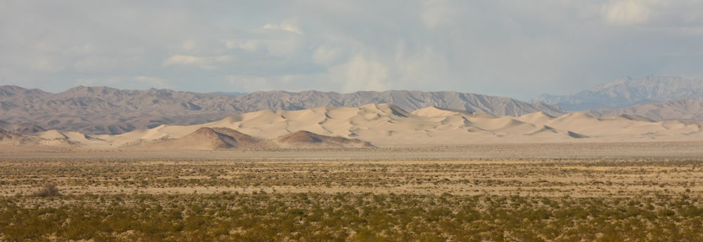
Our
path took us past the Dumont Dunes. The winds were strong,
so due to blowing sand we decided not to camp there.
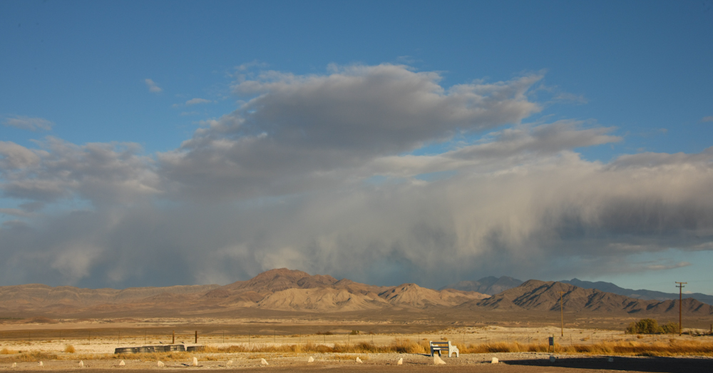
We
arrived at Tecopa Hot Springs and set up camp for the night.
To the east, the end of the storm was still hammering the
mountains.
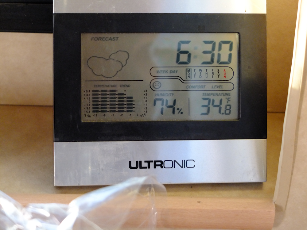
The
wind was strong all night. We slept well, but when I got up
the following morning, it was really cold in the camper -- 34
degrees! Inside.
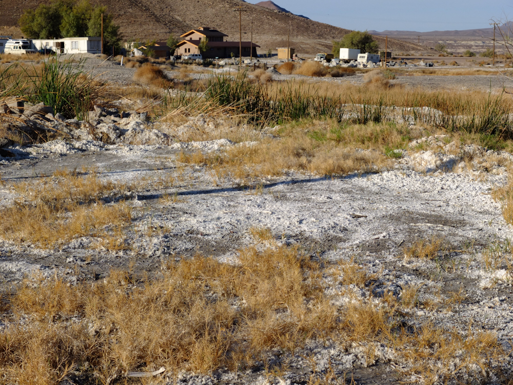
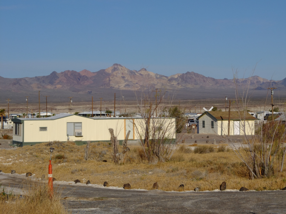
Tecopa
Hot Springs area has a number of outlets for the thermal
springs. The minerals in the water leave salt deposits on
the ground.
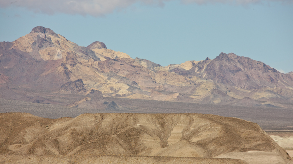
Tecopa
is a pretty small place and there is not much there. But, to
the west heavy mineralization is visible in the far mountain
range.
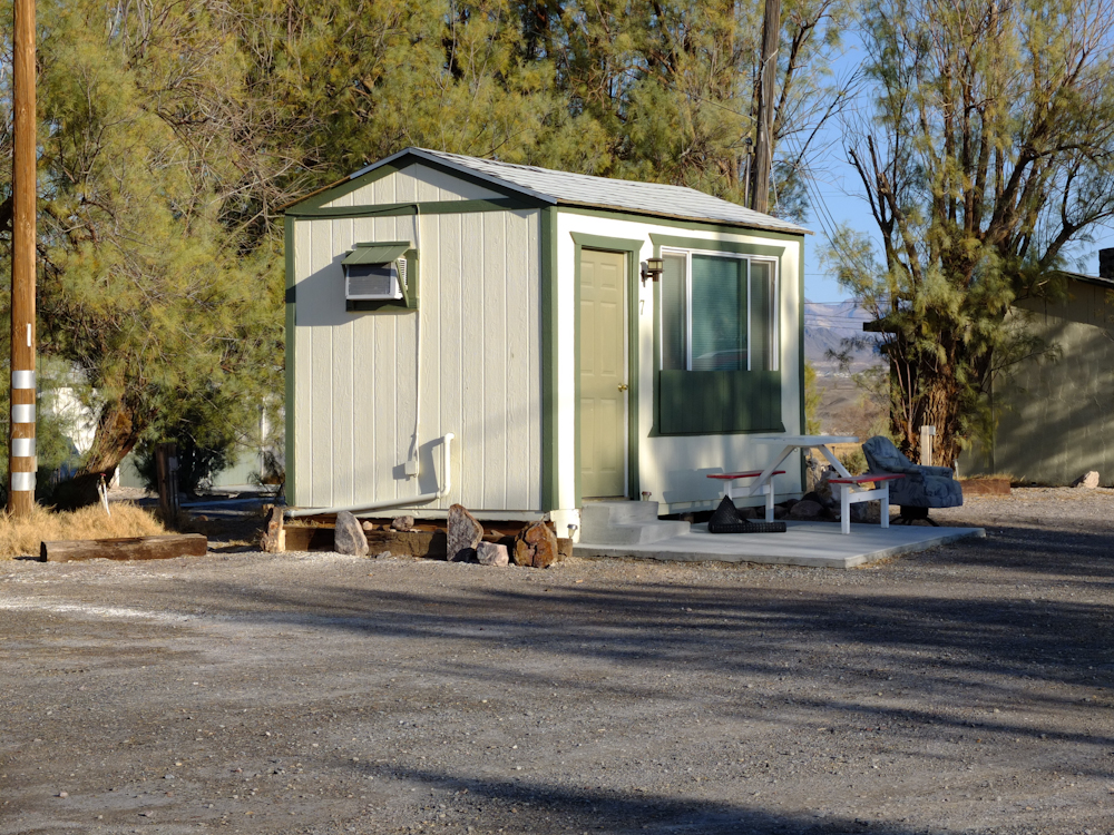
The
camp we stayed at also rented these little "casitas" for folks
without camping equipment or RVs. I hope they had a heater!
We
left Tecopa and headed north toward Shoshone. Along the way,
we got a better view of the mineralized areas on the distant
ranges.
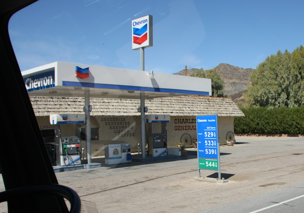
Ouch!
See the price of diesel in Shoshone -- $5.44/gallon.
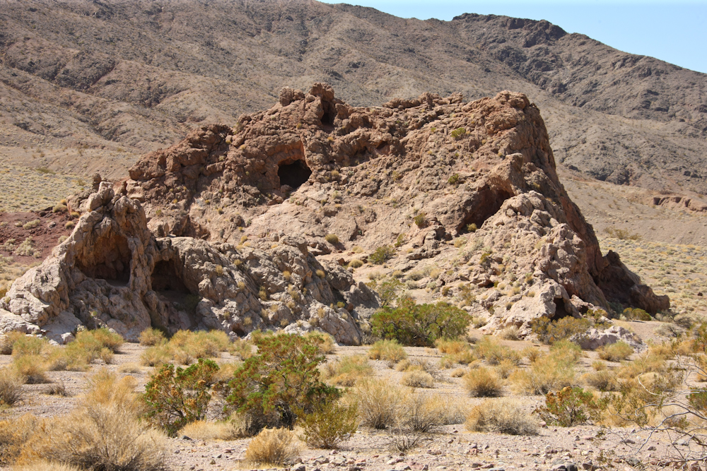
As
we crossed into Death Valley, we encountered interesting
formations in the rocks.
There
were areas of heavy mineralization in the nearby ranges.
Usually, miners home in on these areas and indeed Death Valley is
no exception. There are many abandoned mines in the area.
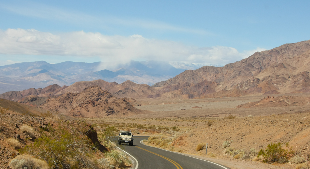
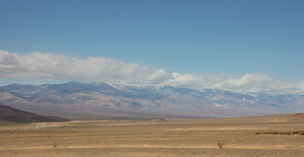
Over
Jubilee Pass, we got our first view of the Panamint Range.
Note the snow shower in one of the upper valleys.
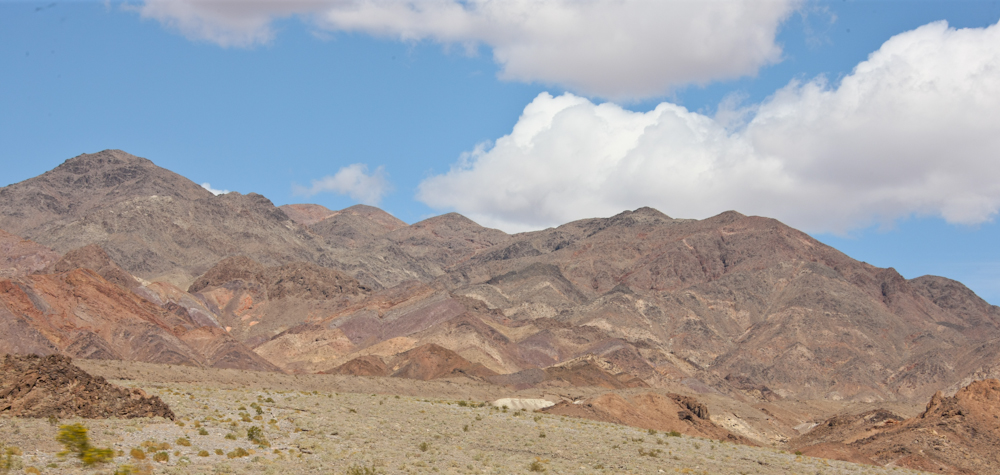
We
saw many areas with heavy mineralization.
Before
we descended into the floor of Death Valley, we got a view of our
trail going from the valley floor up and over the Panamints.
The trail is visible in the center of the photo above.
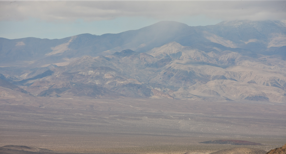
From
the valley floor, we got a good view of the snow on the
Panamints. The upper reaches of the range are 11,000 feet
and appear to still be getting snow during the middle of the day.
| Previous Adventure | ||
| Trip Home Page |
Photos and Text Copyright Bill Caid 2012, all rights
reserved.
For your enjoyment only, not for commercial use.