The photos below are what we
saw.
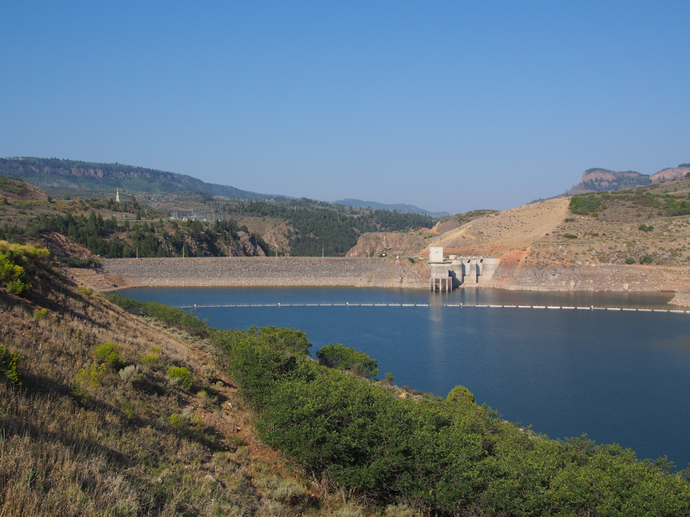
In the morning the light was
behind be and correctly illuminating Blue Mesa Dam which blocks
the Gunnison River. This is a Bureau of Reclamation dam
and and is used for cash flow generation from sales of power and
water.
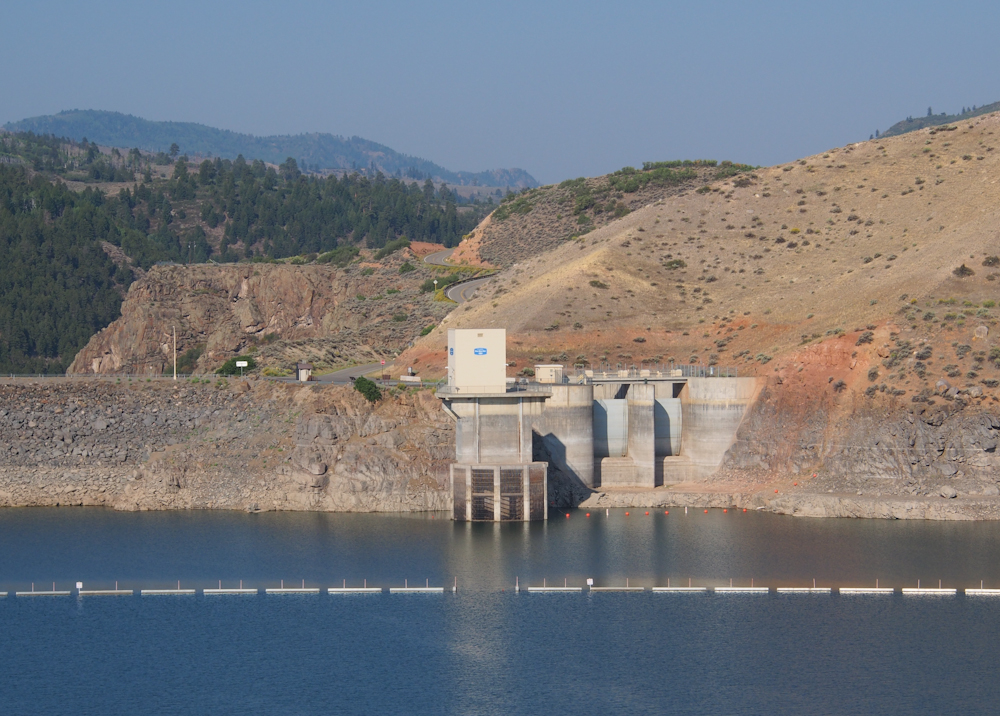
The control gates for the
dam are actually quite small compared to some of the dams that
we have seen in the west. Note the high water marks on the
concrete from "normal" water levels. Blue Mesa reservoir
is way below full pool, like most of the reservoirs in the west.
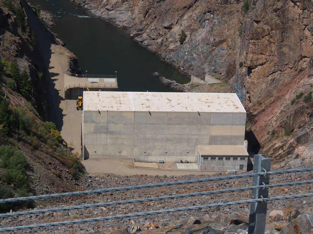
Our road, CO-92 crossed the
dam and gave us a view of the powerhouse at the foot of the
downstream side of the dam.
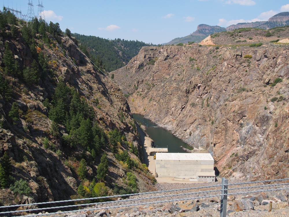
The powerhouse is at the
bottom of a steep canyon. Further downstream, this canyon
is called "The Black Canyon of the Gunnison"
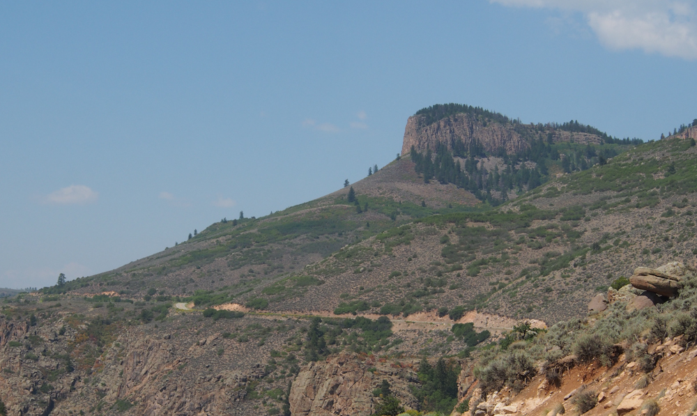
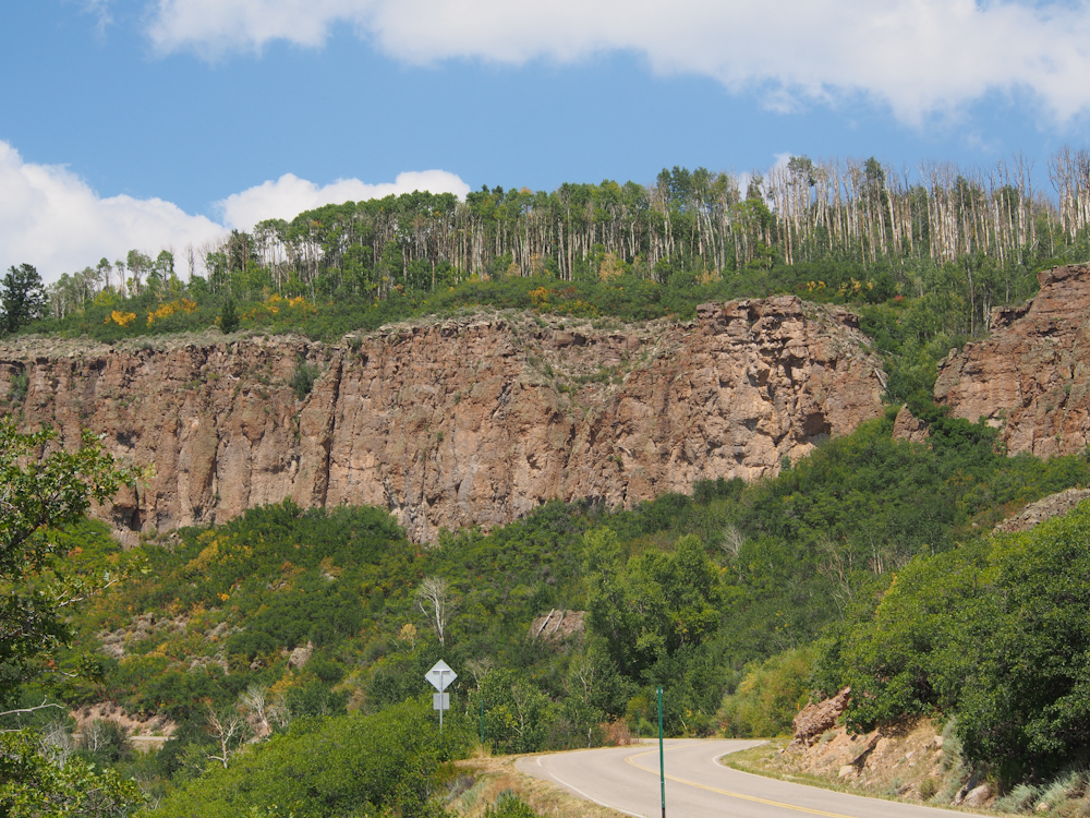
To the north the cliffs of
Blue Mesa dominated the skyline.
Many of the outcroppings
were quite impressive.
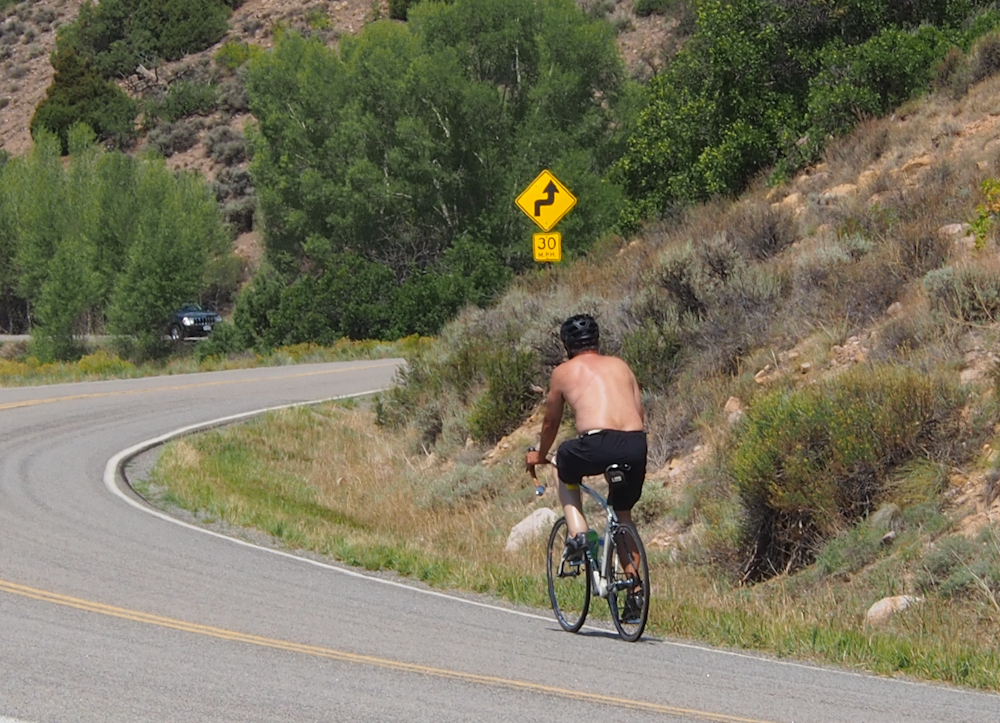
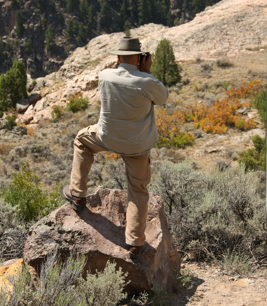
There was a bike race near
the reservoir and we had to change our route to avoid a
substantial delay (like all day....). Our route took us up
Blue Mesa and we came upon this fellow working his way up the
mesa. He was not involved in the race, but look carefully
at the photo above. He has a prosthetic leg on the left
side. He was making good time up the hill.
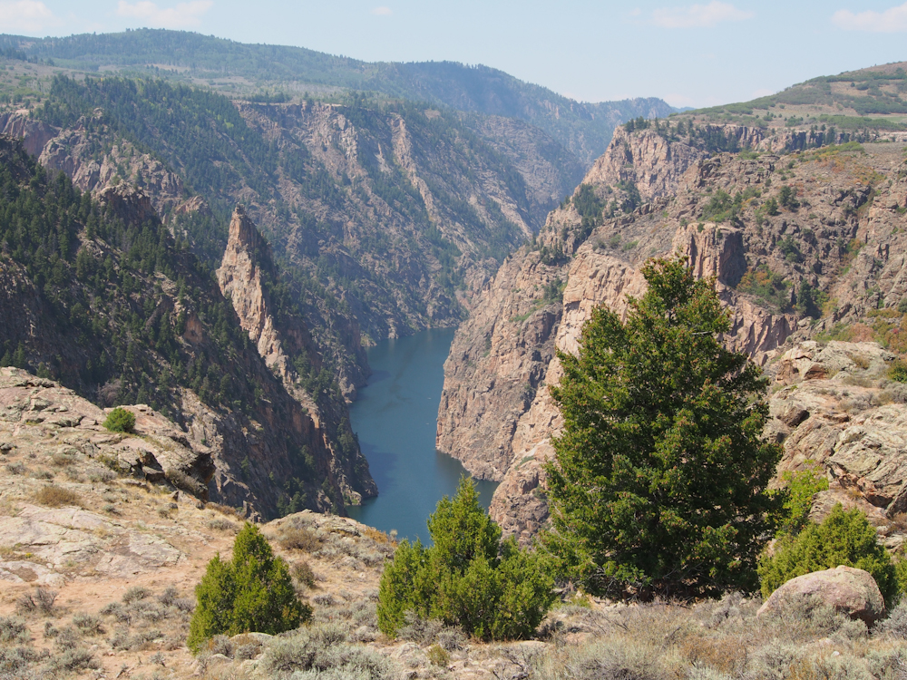
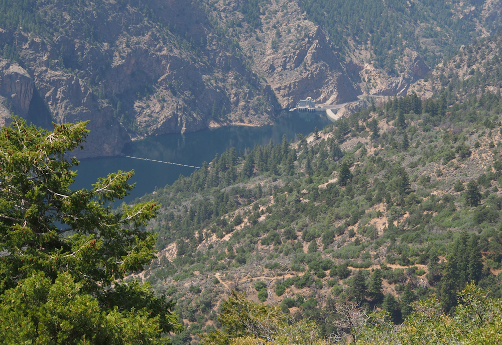
From an overlook point we
could see the waters of Morrow Point Reservoir, the next pool
downstream from Blue Mesa on the Gunnison River. Note the
intensity of the cliffs.
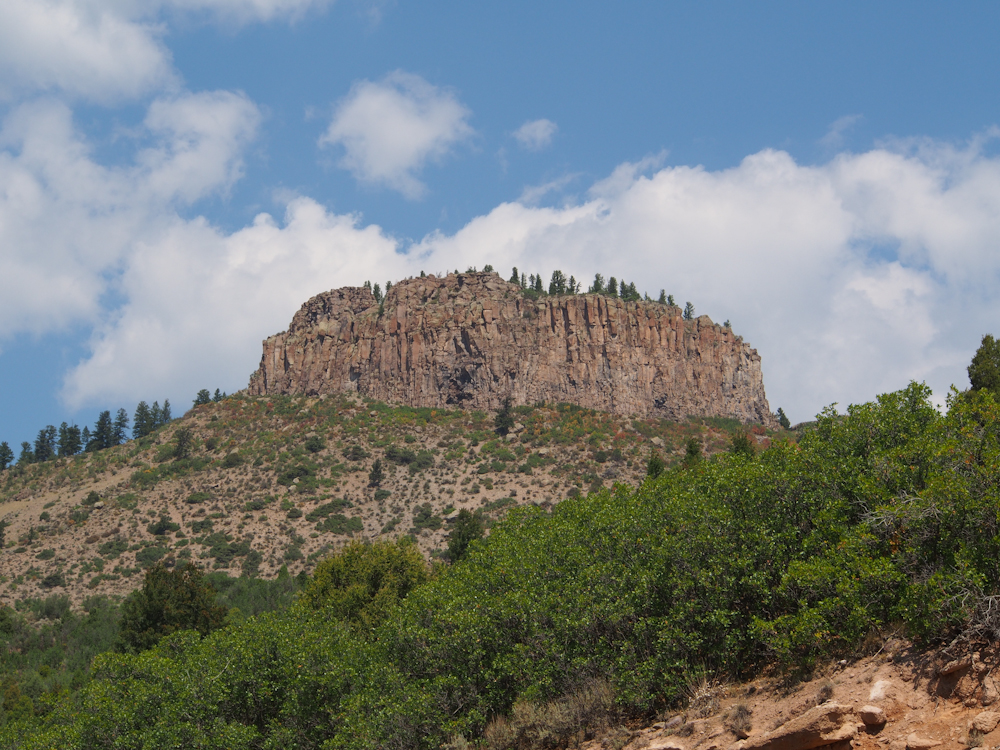
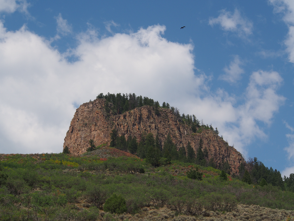
Further north along the face
of the mesa the outcroppings became more pronounced.
Kathleen caught me using my
new Olympus OM-D camera. With the exception of the photo
above, all the photos in this set are from the Olympus.
The Oly is a new-generation SLR camera that is mirrorless and
based on the 4/3 format.
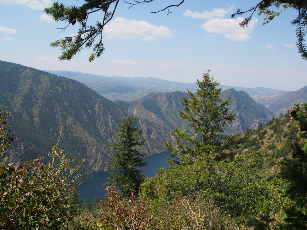
Further up the side of the
mesa, we got a reasonable view of Morrow Point Reservoir.
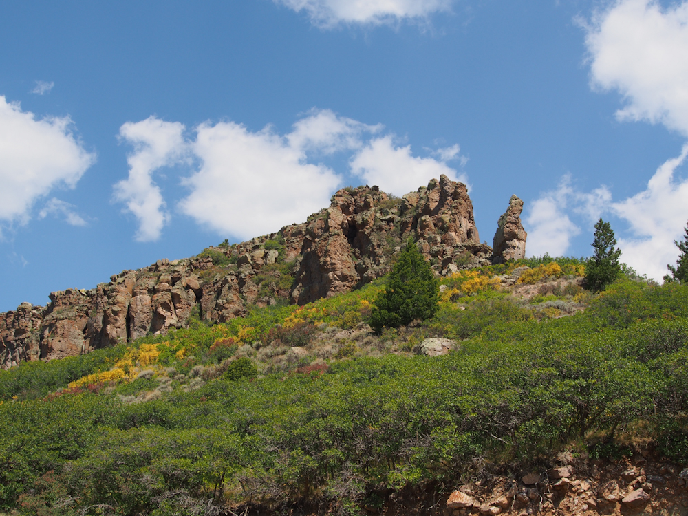
The blue sky and the white
clouds provide a great contrast to the natural colors of the
cliffs.
The brush at the base of the
aspen trees appear to be turning color for the fall.
From an overlook point we
could see the dam for the Marrow Point Reservoir.
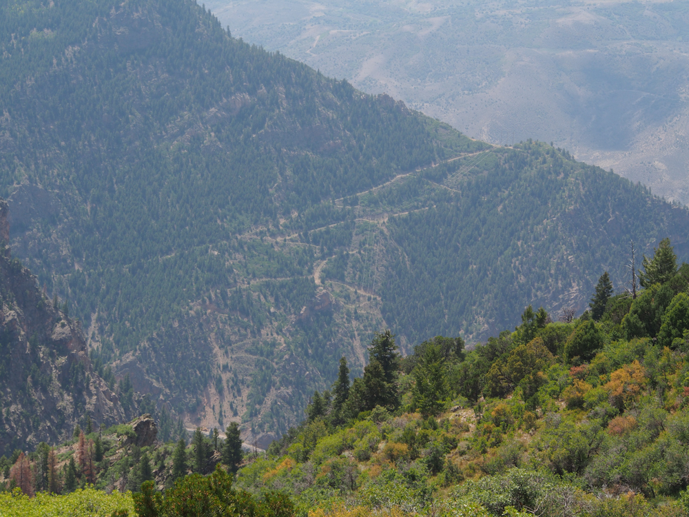
The power lines for Morrow
Point Dam go directly up the south cliffs of the canyon.
Steep dirt roads service the poles of the power lines.
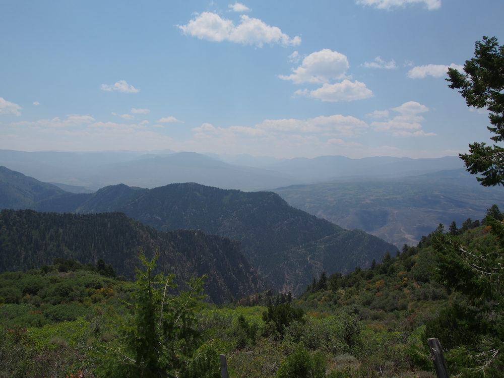
On the southern horizon we
could see the high peaks of the San Juan Mountains.
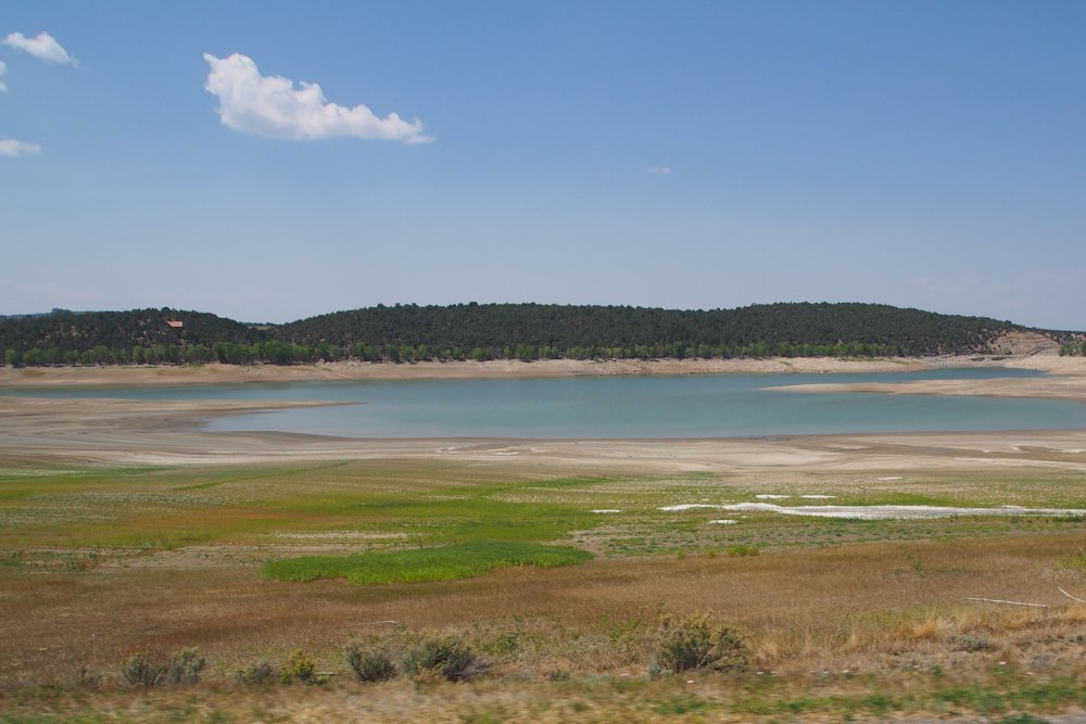
We came to the state park
that was our previous day's objective and were not
impressed. The park was built to "service" the Crawford
Reservoir. But as you can see above, the water level in
the reservoir was severely depleted. Most of the
reservoirs that we saw were low to non-existent. Even Blue
Mesa and Marrow Point were low.
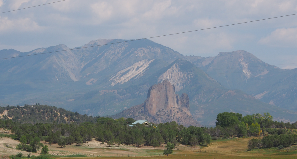
Nothing like a few power
lines to spoil a perfectly good photo. Power lines
notwithstanding, the volcanic plug at the base of the mountain
was impressive.
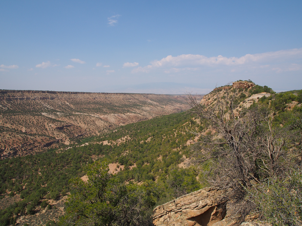
We rolled into Delta, CO and
had lunch at a local cafe. From Delta, we headed southwest
into the Uncompahgre Plateau. Having never been here
before, we did not know what to expect. The trail went
along a ridge that gave us a good view of the canyons to our
north.
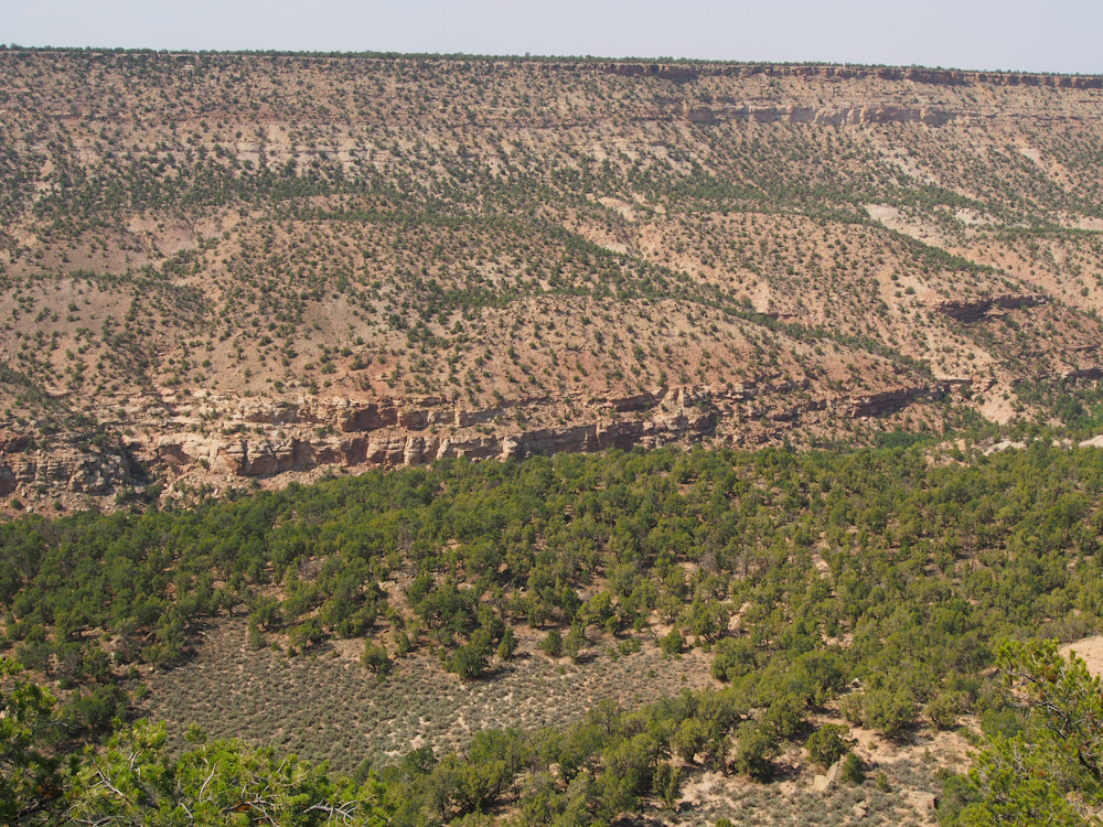
The bottom of the canyon had
a small creek with Cottonwood trees which indicate persistent
water.
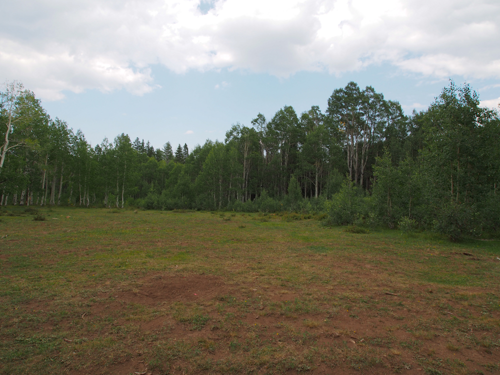
Near the crest of the
Uncompaghre Plateau we decided to do a road-side camp. We
found a side trail that led to what would have been a meadow if
there had been sufficient rain this season.
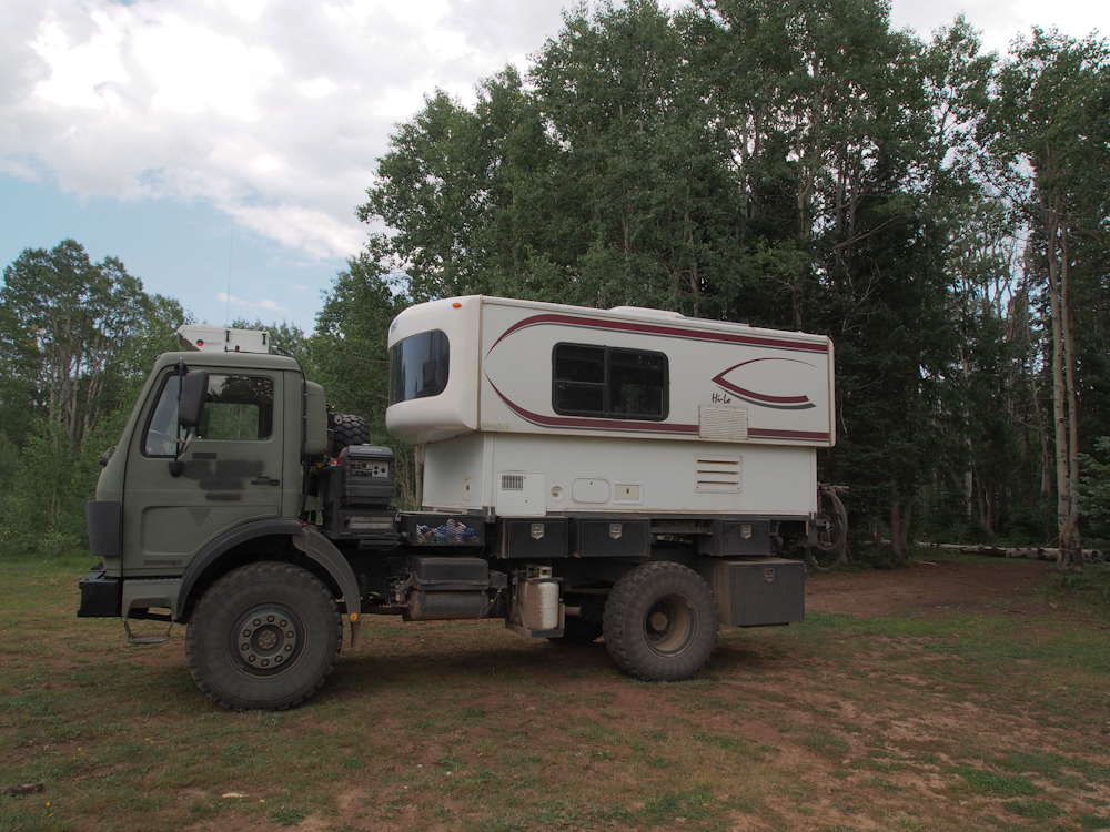
We set up at the edge of the
meadow and secured Thor for the evening.
| Previous Adventure | ||
Photos and Text
Copyright Bill Caid 2012, all rights reserved.
For your enjoyment only, not for commercial use.