We completed breaking camp
from our hog hunt and then headed east on I-10. Our
objective was Port Arthur, TX. We spent one night at an RV
park in Port Arthur then headed east along the coast into
Louisiana and creole
country.
The photos below are what we saw.
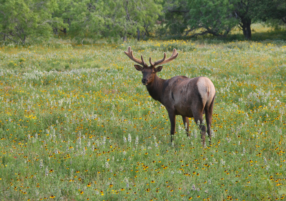
On our exit from the hunting
ranch, we passed this elk buck, still with velvet, grazing in
the ranch pasture.
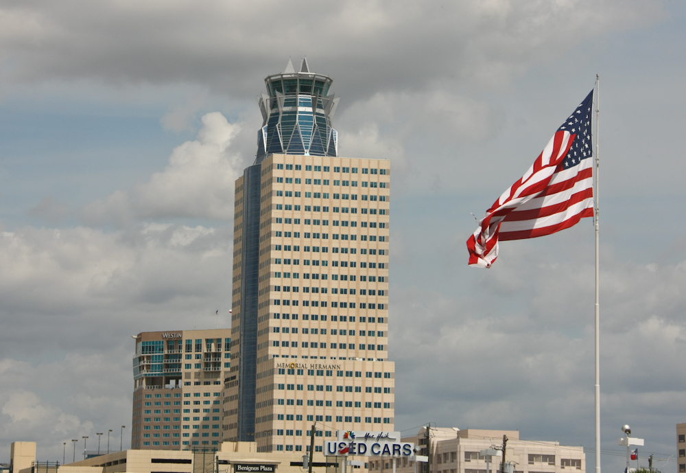
We traveled on I-10 through
Houston and passed this interesting building along the freeway.
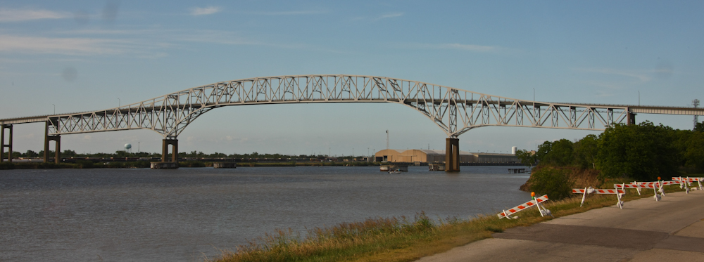
It was pretty hot and we had
not yet installed air conditioning in Thor's cab, so we were
happy to reach Port Arthur, our destination for the
evening. This bridge crosses the intracoastal waterway and
connects Pleasure Island, the location of our campground, with
the mainland.
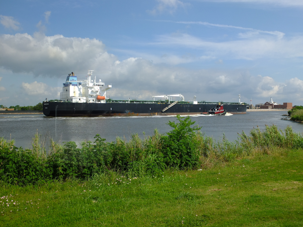
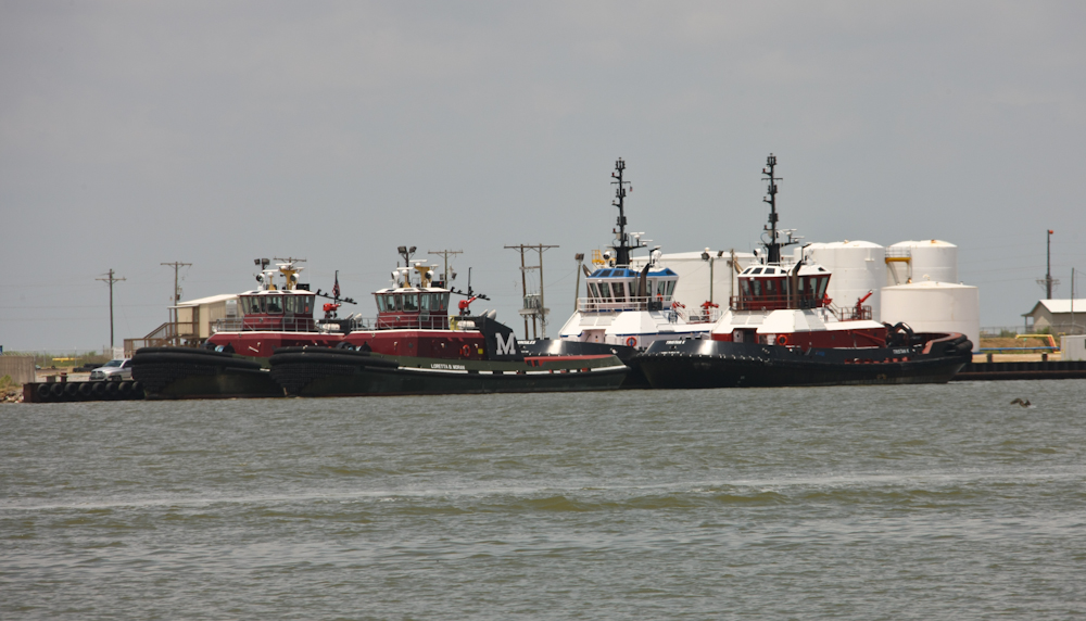
Our camp was right on the
intracoastal waterway and gave us a great view of the passing
marine traffic. There were some huge ships that came by in
the short time we were at the site along with plenty of
tug/barge combinations. Most of the traffic appeared to be
in support of the oil industry.
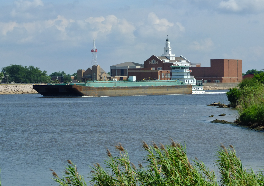
Some of the barges were
singles, like the one above, and many were doubles and triples.
We ate dinner in Port Arthur
and crossed the intracoastal bridge several times. From
the bridge, we got a good view of some of the surrounding
infrastructure that supports the oil industry. Port Arthur
is home to a number of large refineries and storage facilities.
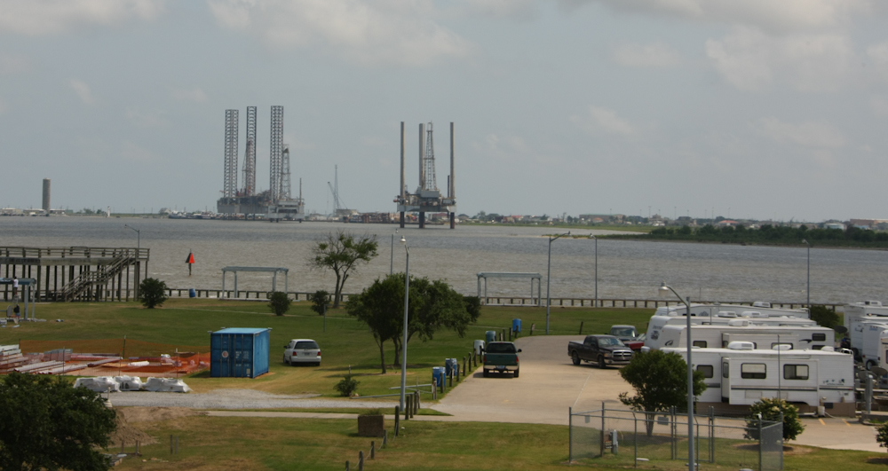
There were several oil drilling
platforms in the harbor either being stored or repaired.
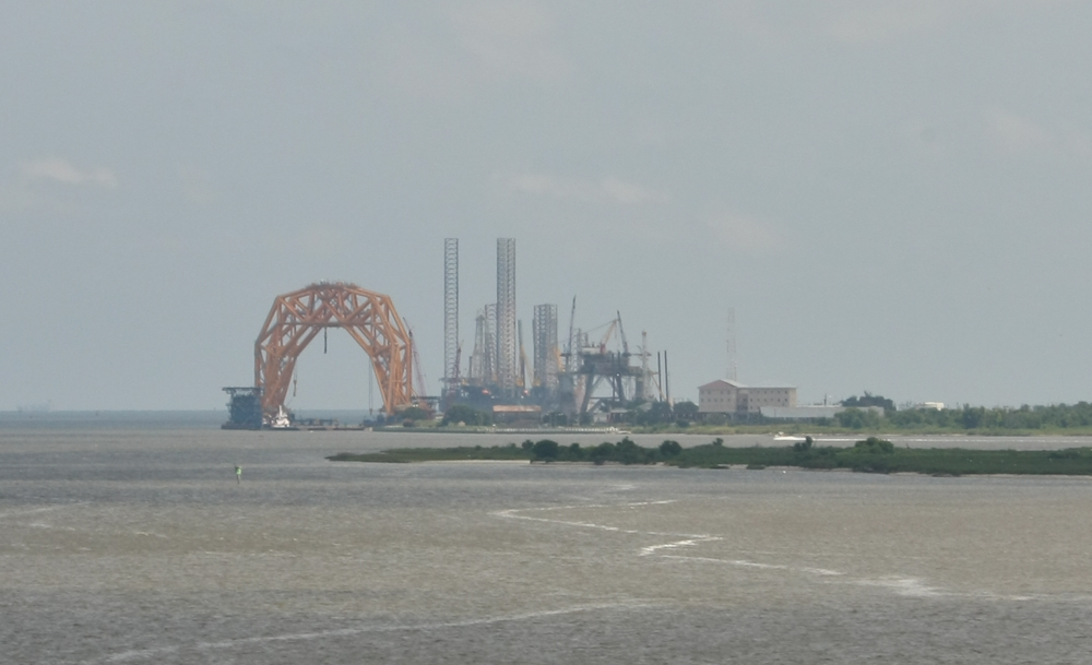
On our way out of town heading
south, I spotted this huge structure that appears to be some
kind of crane.
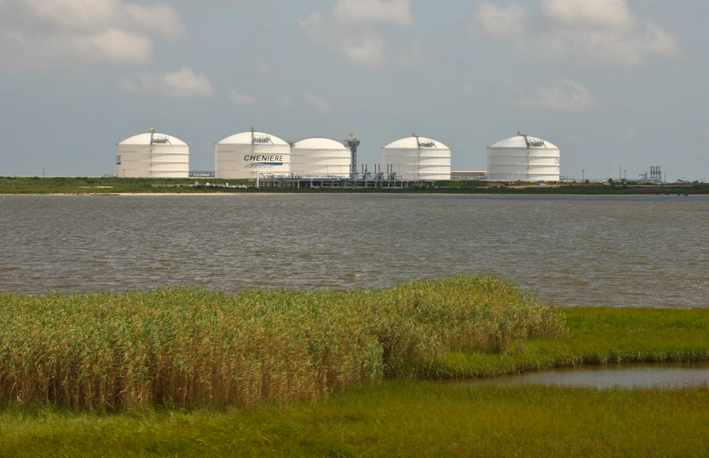
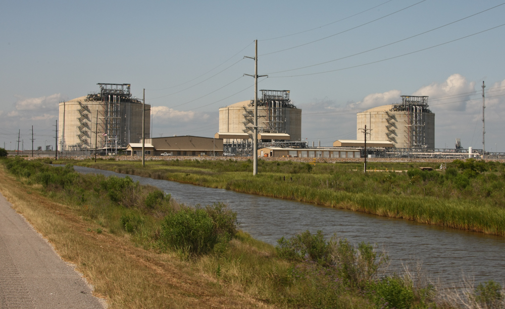
We traveled south to Sabine
Pass, then east along the gulf coast to Holly Beach, LA.
Then we headed north toward Calcasieu Parish to meet Bob and
Kitty. These LNG storage tanks were just outside of Sabine
Pass, TX.
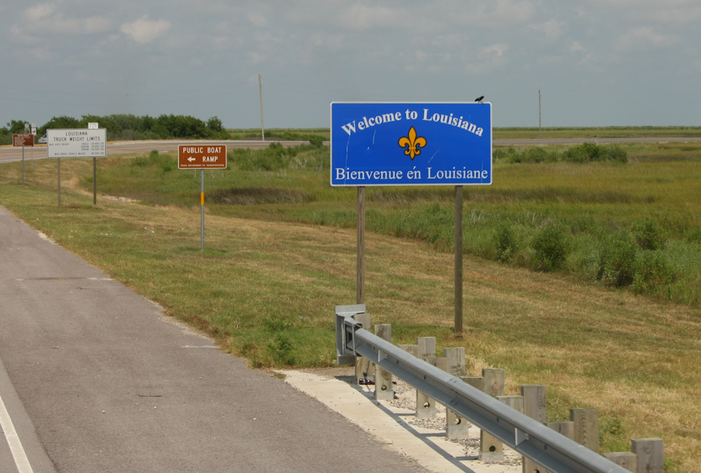
The entry into Louisiana was
unremarkable in that the coastal areas are quite devoid of
trees, likely due to the frequent hurricanes.
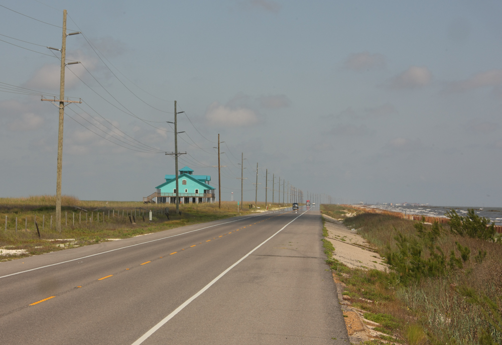
The coast road was right next
to the water and as you can see above, is devoid of trees.
This road was heavily damaged the last time were here in
2010. Note that the house above is built on stilts.
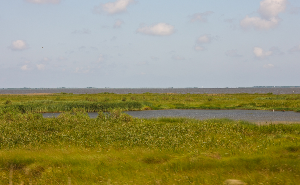
The areas along the coast were
bright green and had marshes that support a variety of kinds of
wildlife.
These LNG tanks were under
construction the last time we were here.
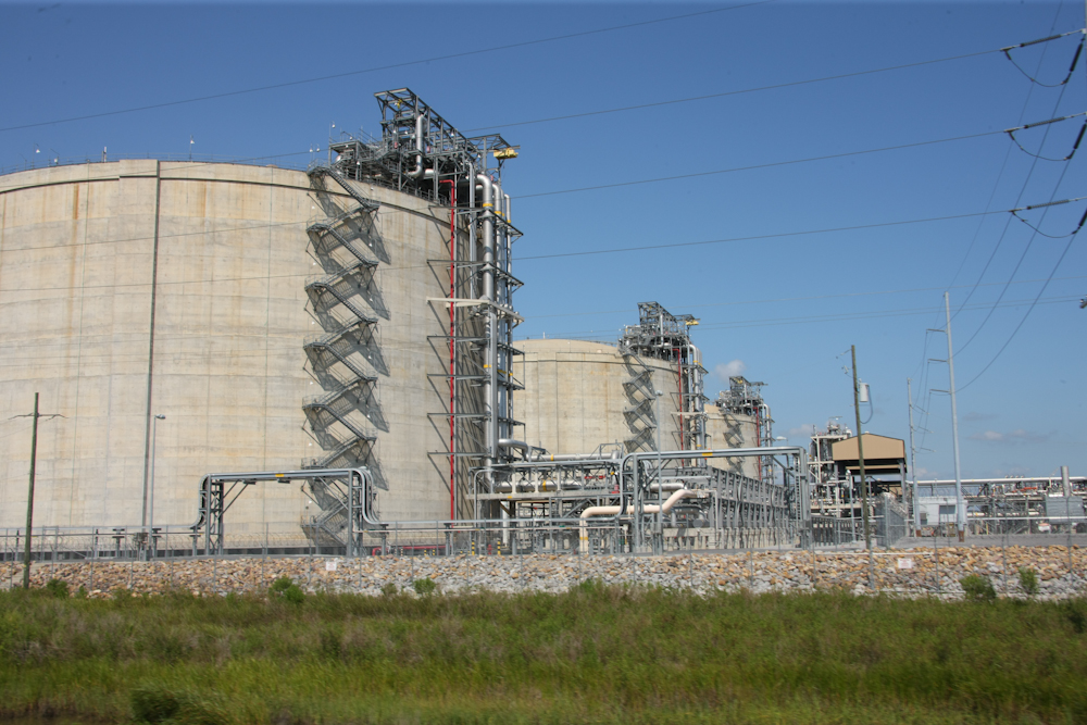
There is a ton of complex
infrastructure that is required to support these storage
facilities.
We arrived at our rendezvous
site at the Calcasieu Parish Police Jury Campground. Yes,
that is the formal name. The place was right on the
intracoastal canal, but had no shade. This was sad since
it was about 90 degrees and sunny. The good news was that
it also had 30 amp electrical service and allowed us to use the
air conditioning in the camper.
Tugs and barges of all sizes,
lengths and configurations passed our camp. Note that this
naked tug has a flat bow designed to mate securely to the stern
of the barge it is pushing. The tugs were actually quiet
and frequently passed without us noticing them.
Bob and Kitty had arrived about
the same time as we had, but were located to the east of our
position. After several hours past the appointed meeting
time, we decided to call them and discovered that we were only
about 100 yards apart but could not see each other. Later,
I discovered that they had texted me, but the noise of the truck
had masked the text alert so we were ignorant of their
arrival. But, no harm was done and they came to us and
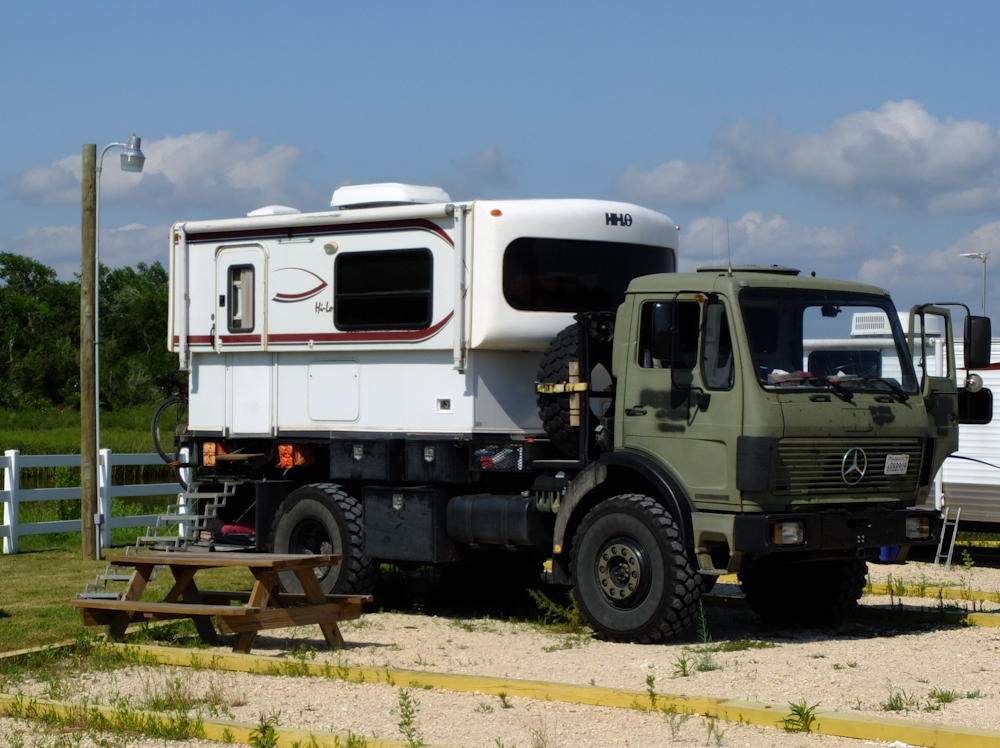
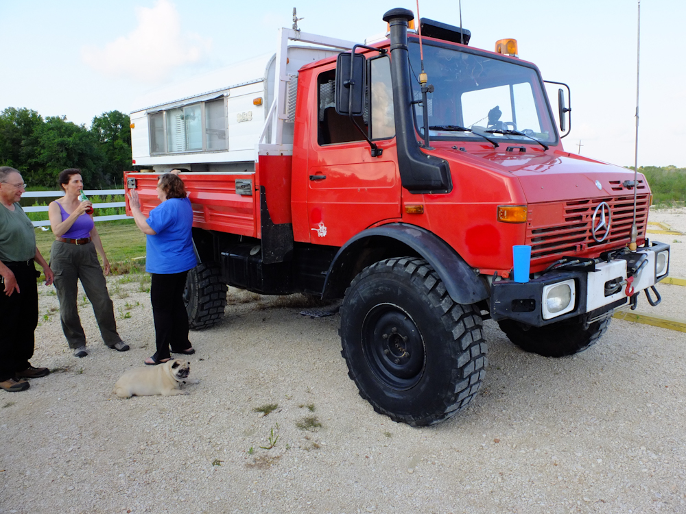
prepared to setup for the night. Bob's 1300L is in great
shape and has an Alaskan camper similar to the one that was on
our 1300.
Kathleen made carnitas from a
portion of the hogs we shot several days before. Next
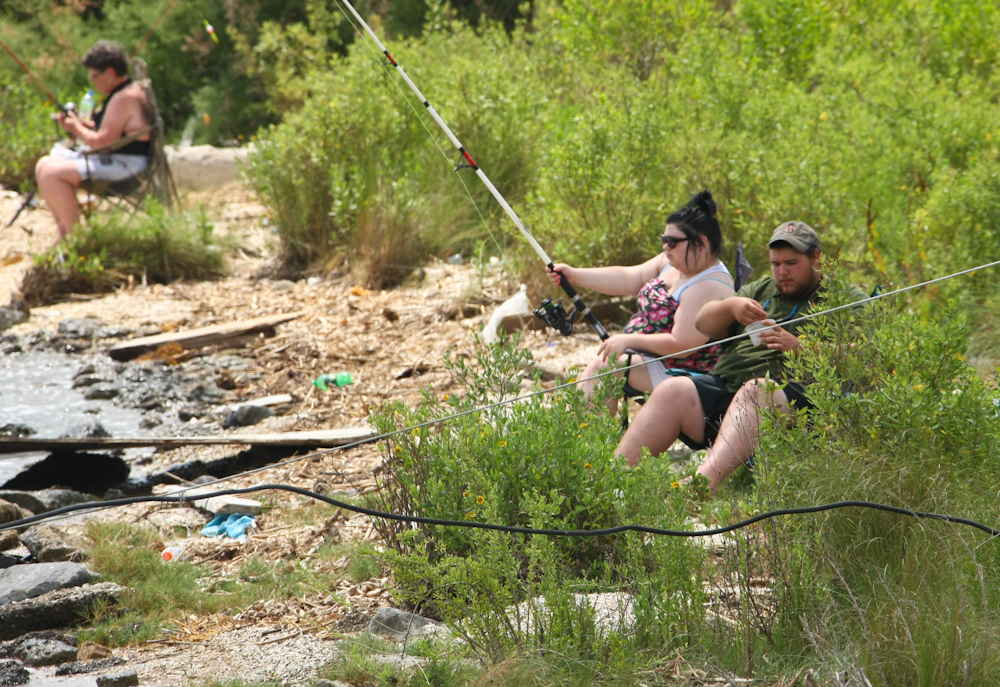
morning, we headed east along the cost and outside of Cameron,
LA while waiting for the ferry, we spotted these less-than-prime
specimens fishing from the banks of the shipping channel.
With a few notable exceptions, they were representative examples
of the local population.
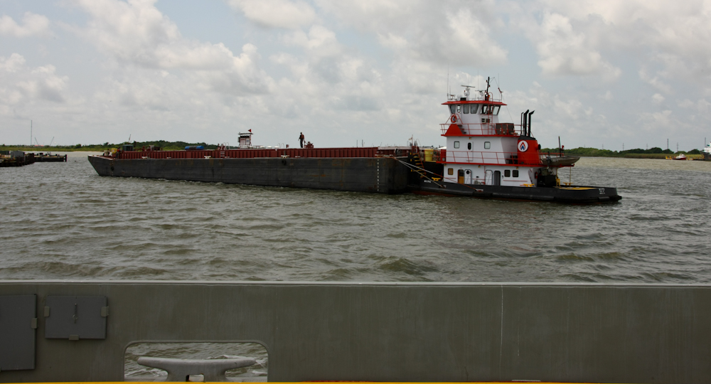
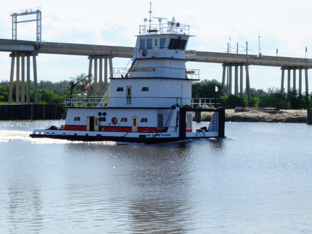
We were lucky and the ferry was
at the dock waiting for us when we rolled up. We only
waited a few minutes before departing across the narrow
channel. While docking, we spotted this tanker barge being
maneuvered onto a berth by a local tug.
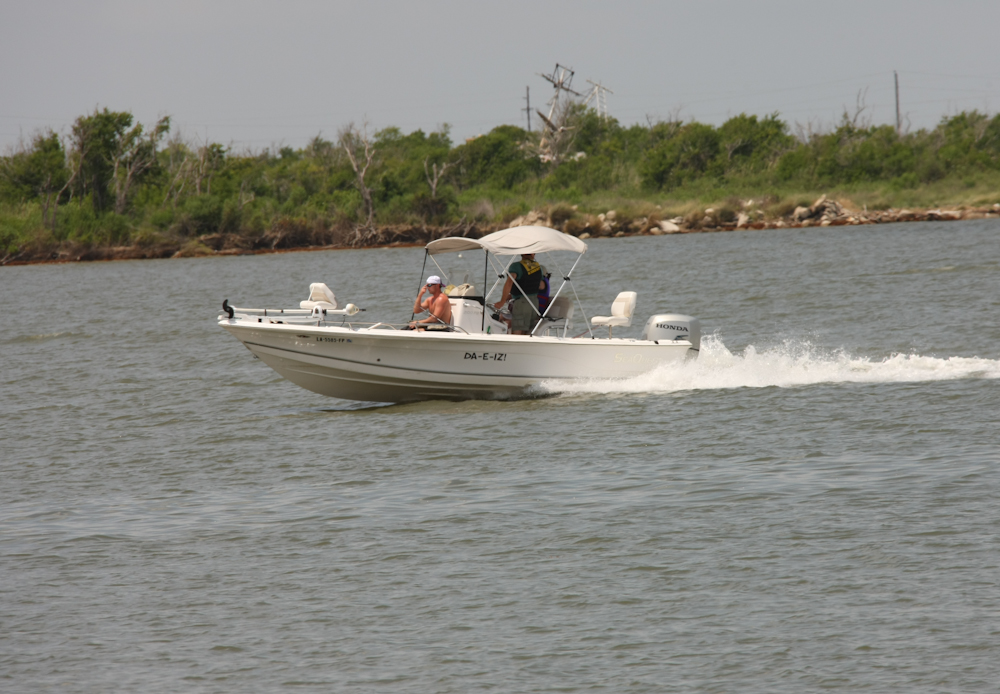
Lousiana bills itself as "the
Sportsman's Paradise" on their license plates. I think
this statement is true. We saw many boats on the channels
that were heading out for some fishing. And there were
hundreds of folks along the banks of the many bayous fishing and
catching crabs and crayfish. Most of the setups were quite
basic, but this fellow's rig was new and deluxe.
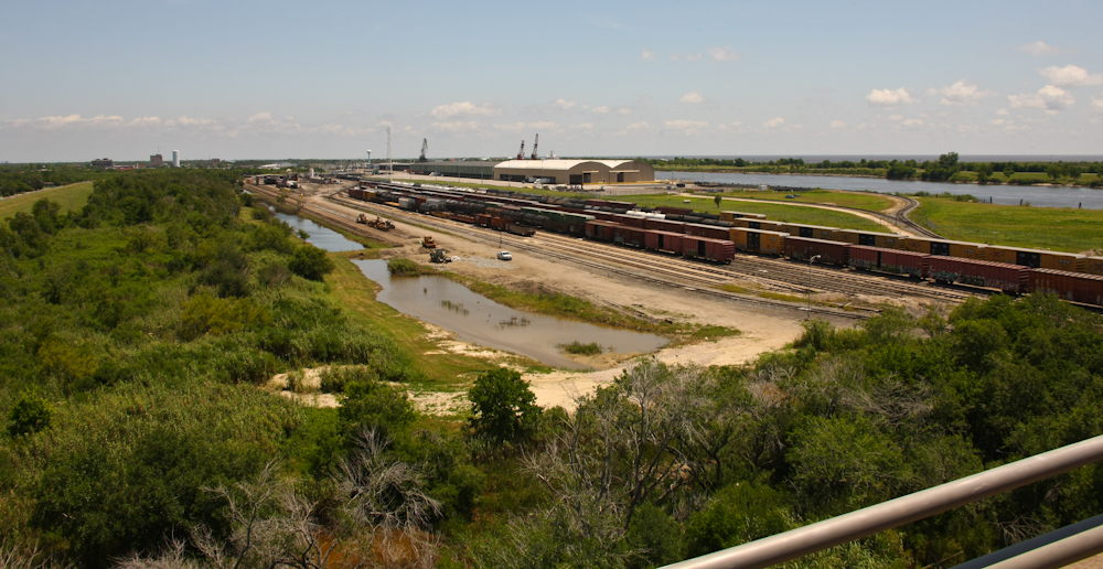
We had lunch in Cameron, LA at
the only cafe in town. The cafe was assembled out of
multiple dissimilar trailers bolted together. It was, as
they say, "the only game in town", so we decided to stop.
The food was good despite the basic facilities. After
lunch, we went to the local harbor area to check things
out. We spotted a number of powerful marine tugs at the
docks awaiting work.
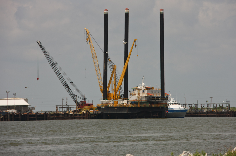
This platform was being
serviced at the dock by the large cranes.
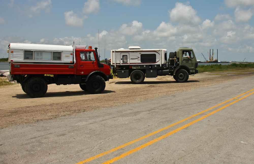
The good 'ole boys in Louisiana
know their trucks and the combination of the 1017 and 1300
created plenty of neck whiplash.
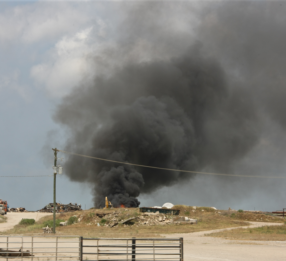
East of Cameron, we came upon
this fire which was producing a huge column of noxious black
smoke. It appeared to be a controlled burn of some kind
since the local fire department was not responding.
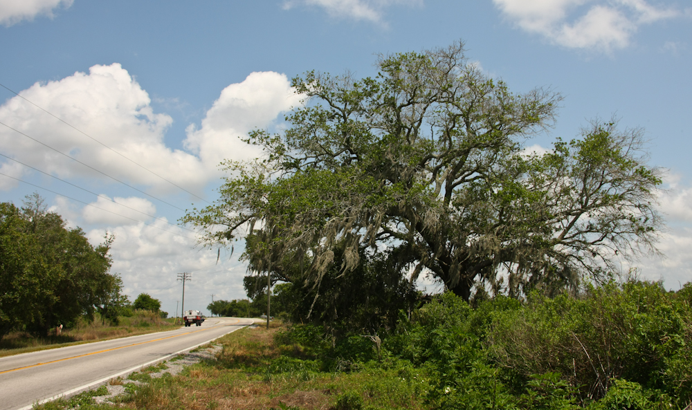
The area along the coastal
highway was frequently clear of trees, but as we got further
east, portions of the road were lined by huge oaks with Spanish
moss.
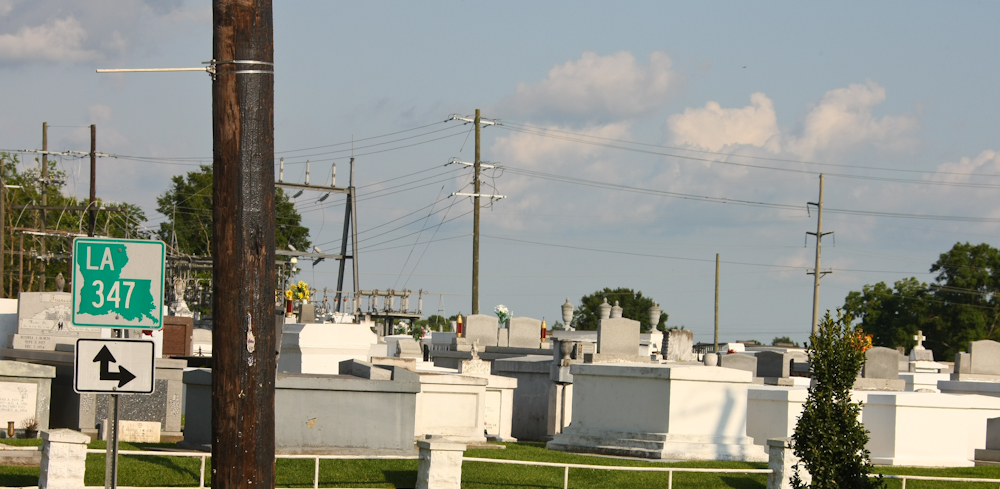
We headed inland and passed
this cemetery with above ground crypts. Along the coast,
we noticed that all the cemeteries appeared to be new and had
new, fresh headstones and memorials. We assume that this
was due to recent hurricane activity exhuming the occupants and
thus requiring a reburial. The crypts above were 90+ miles
inland and despite the near sea level elevation appear to have
been unharmed and original.
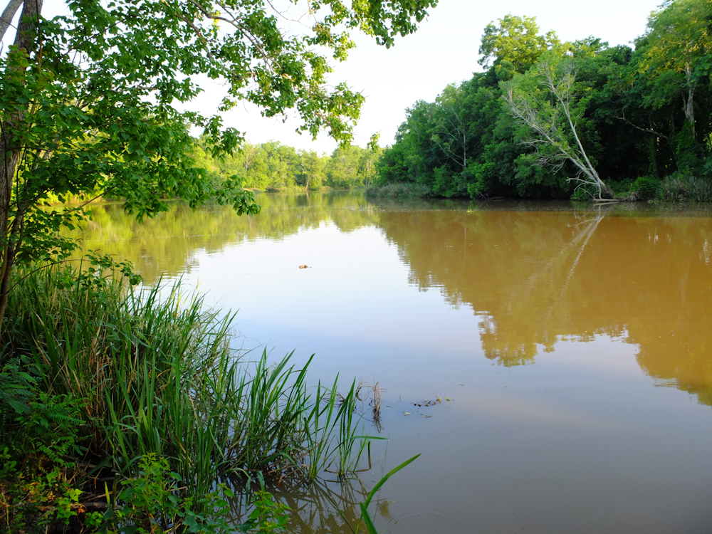
We tried to get a tour at Avery
Island, the home of Tabasco Sauce, but were too late in the
day. Then, we went to a close-by state park and attempted
to get a campsite, but the park was full due to the Crayfish
Festival (whatever that is). We finally got spots on one
of the bayous next to the Atchafalaya River. The bayou was
brackish and muddy.
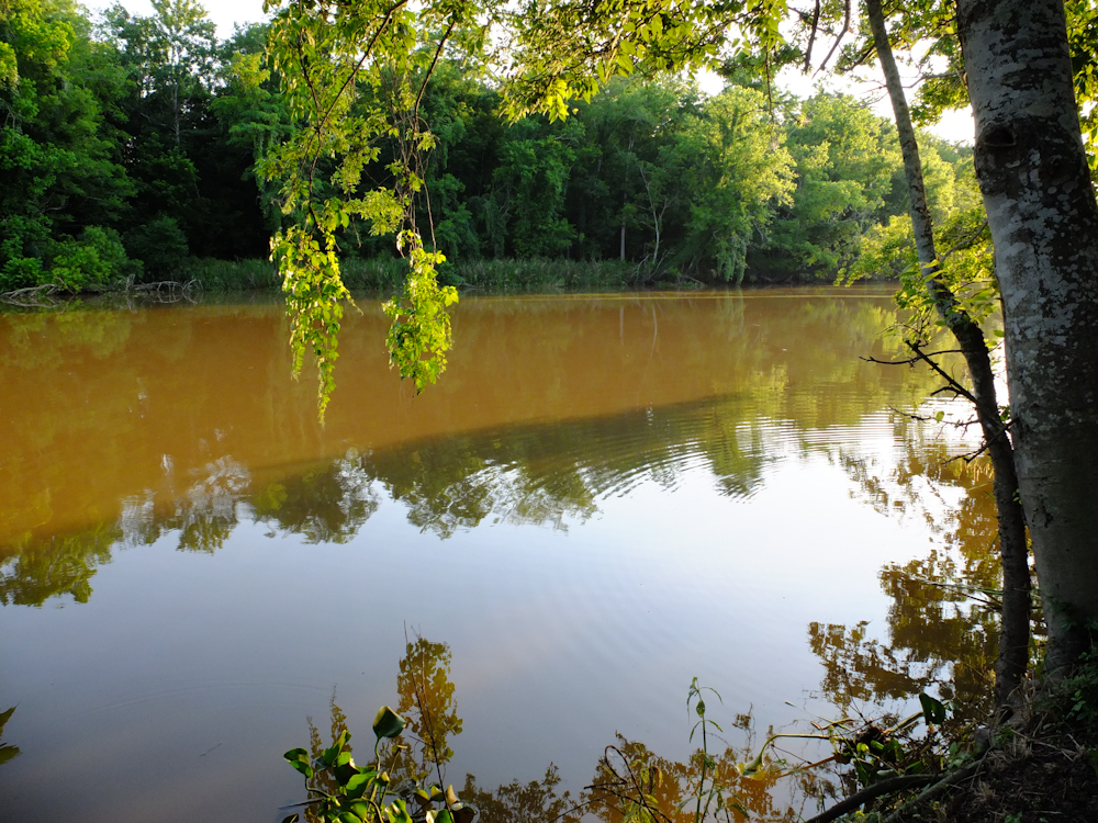
Despite the calm water, there
was plenty of evidence of fish in the bayou and there were boats
coming by at night with lights on seeing gators, frogs or
whatever.
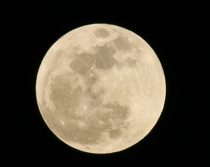
The moon was at its perigee for 2012 and was clearly visible through the brush of the bayou. The moon was 20% brighter than normal due to its closeness to earth and was dubbed a "super moon". My Canon 1DsMark3 with 300 mm lens does a great job of capturing such events. The shot above was hand-held using spot metering and spot focus.
This bayou area was nice and green and a
pleasure to
see. We ate at a local restaurant across the levee from
the camp and the food was good. The night was buggy, so we
retired early. Tomorrow, we will check out the lake on the
Atchafalaya River and perhaps get a swamp tour.
| Previous Adventure | ||
| Trip Home Page |
Photos and Text
Copyright Bill Caid 2012, all rights reserved.
For your enjoyment only, not for commercial use.