We
closed out our stay at Allemond Point and headed south along the
Henderson Levee road. Our destination was Grand Isle.
From Grand Isle, we would travel to NOLA.
The photos below are what we saw.
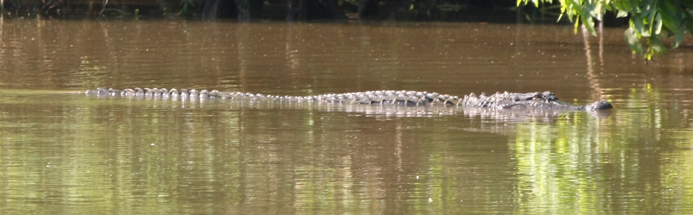
Next
morning, Kathleen shot a few photos of the huge gator in the bayou
behind our camp. The lore states that every inch of length
between eyes and nose translates into a foot of overall body
length. This is a big gator.
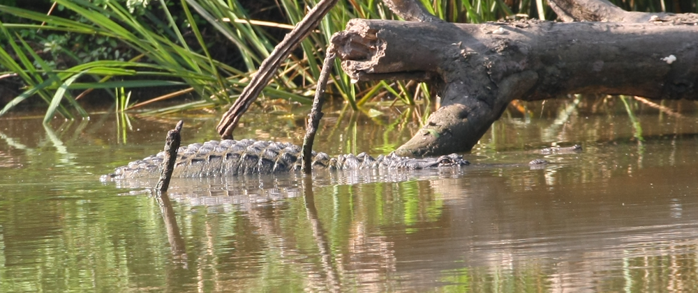
He
slithered over a partially submerged log exposing his large
thorax.
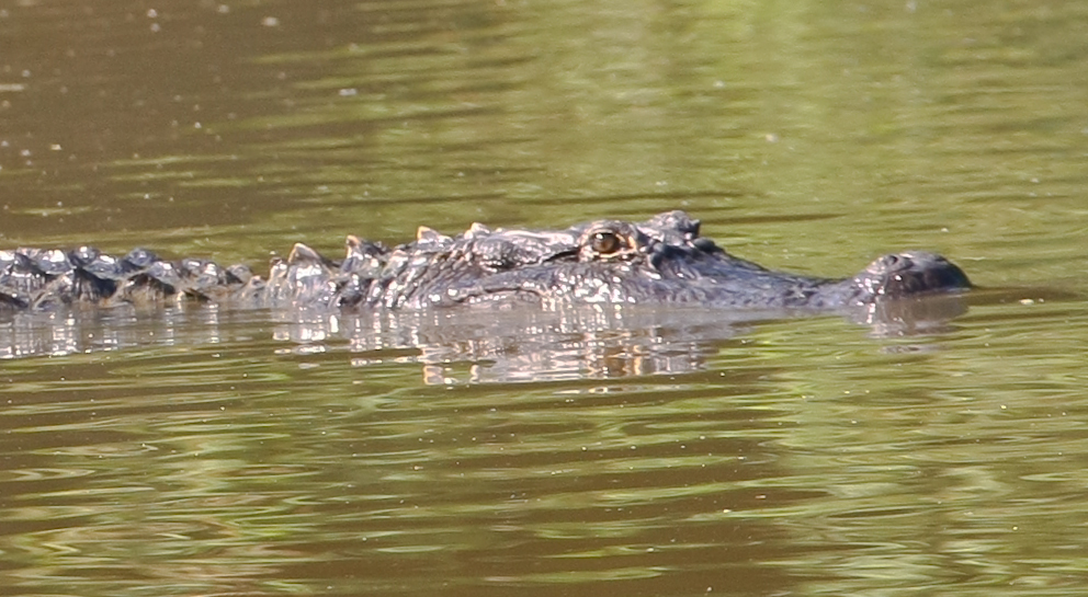
Evil
eyes, always on the lookout for a meal.
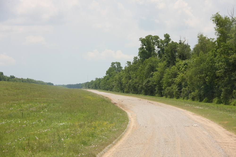
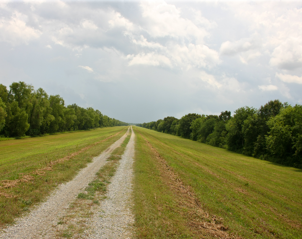
We
broke camp at Allemond Point and headed down Henderson levee
road. Soon, the road turned into dirt and stayed that way
for the balance of the trail. The levee is about 20 feet
above the road, on the left.
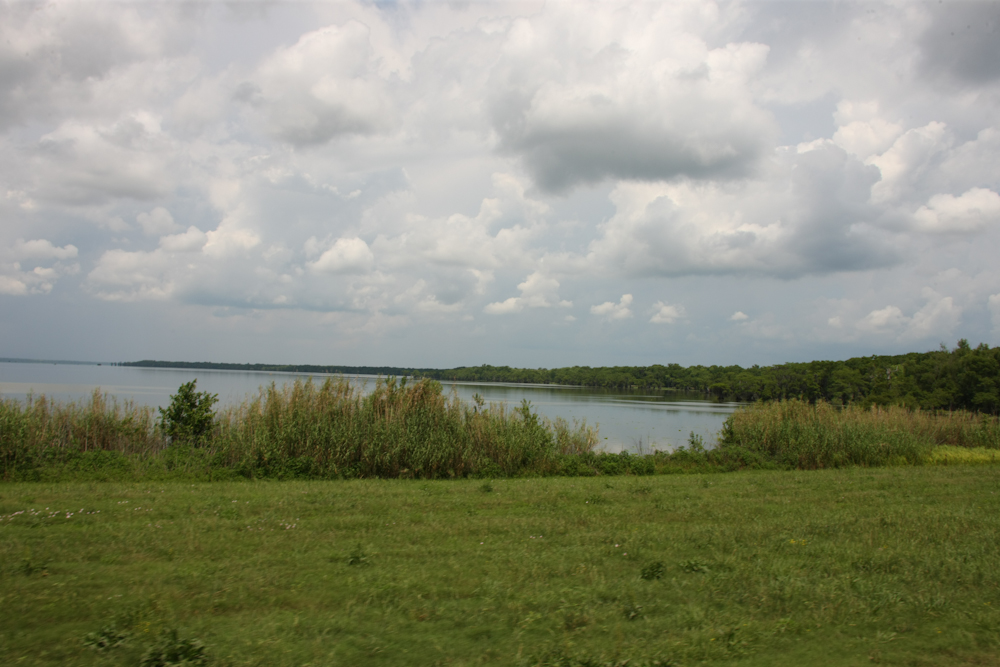
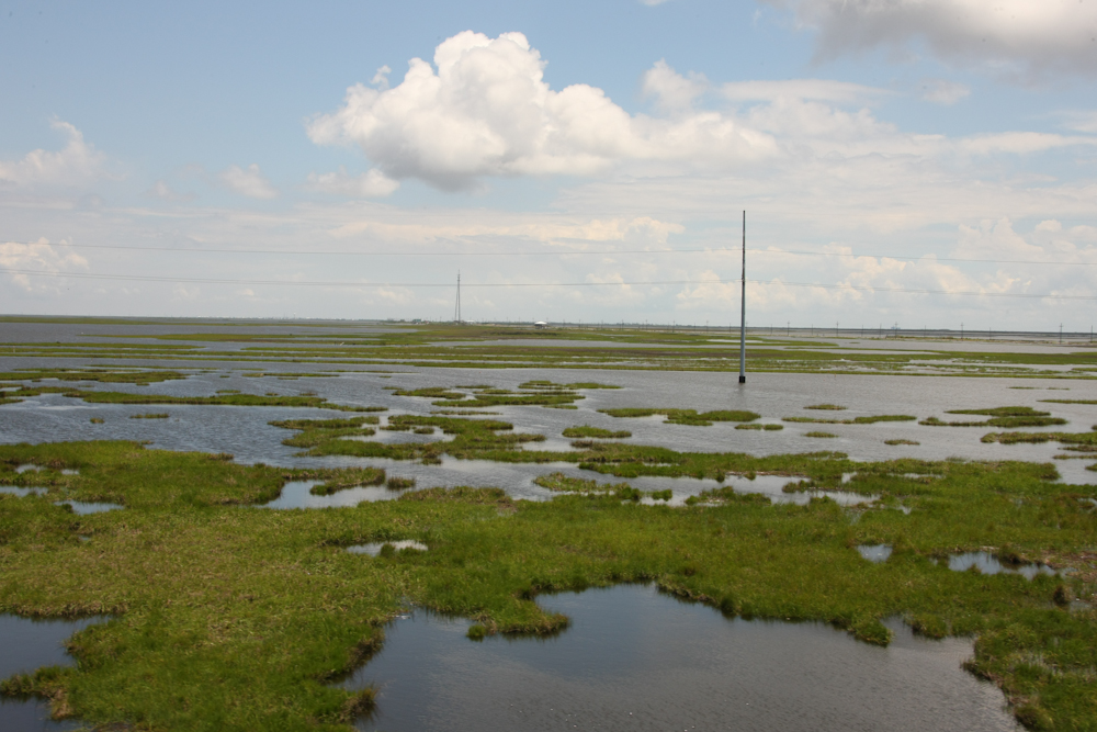
We
traveled for many miles and then came to a large lake to the west
of the road.
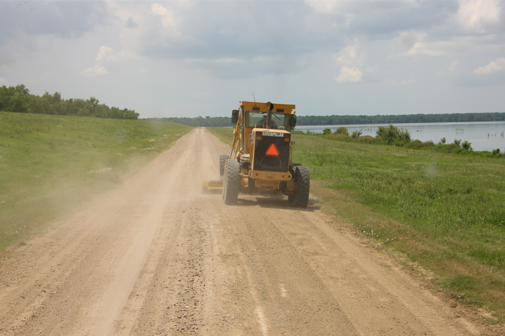
The
road was so good we knew it could not last. We soon overtook
the grader and things got a bit rougher.

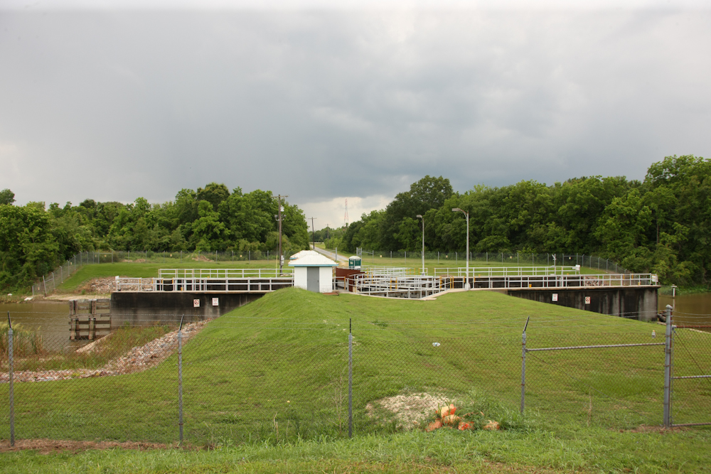
Another
ten miles down the road took us to this flood control gate built
into the levee.
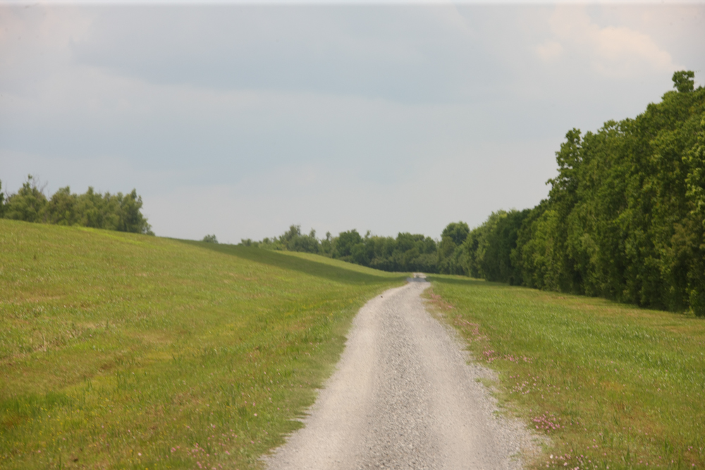
The
road was much less traveled south of the flood control gate.
We
hit another gate and then the only road was on top of the
levee. It was not heavily traveled and that should have been
our clue that it was a dead end. The map in the GPS showed
that the road went through, so we continued on.
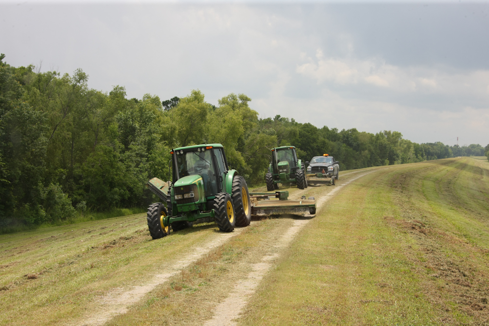
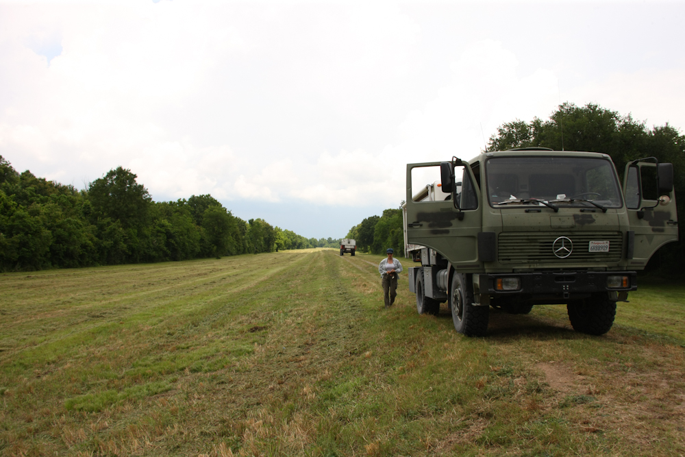
We
encountered a phalanx of mowers. These are the fellows that
keep the brush in check to allow easy inspection of the levee.
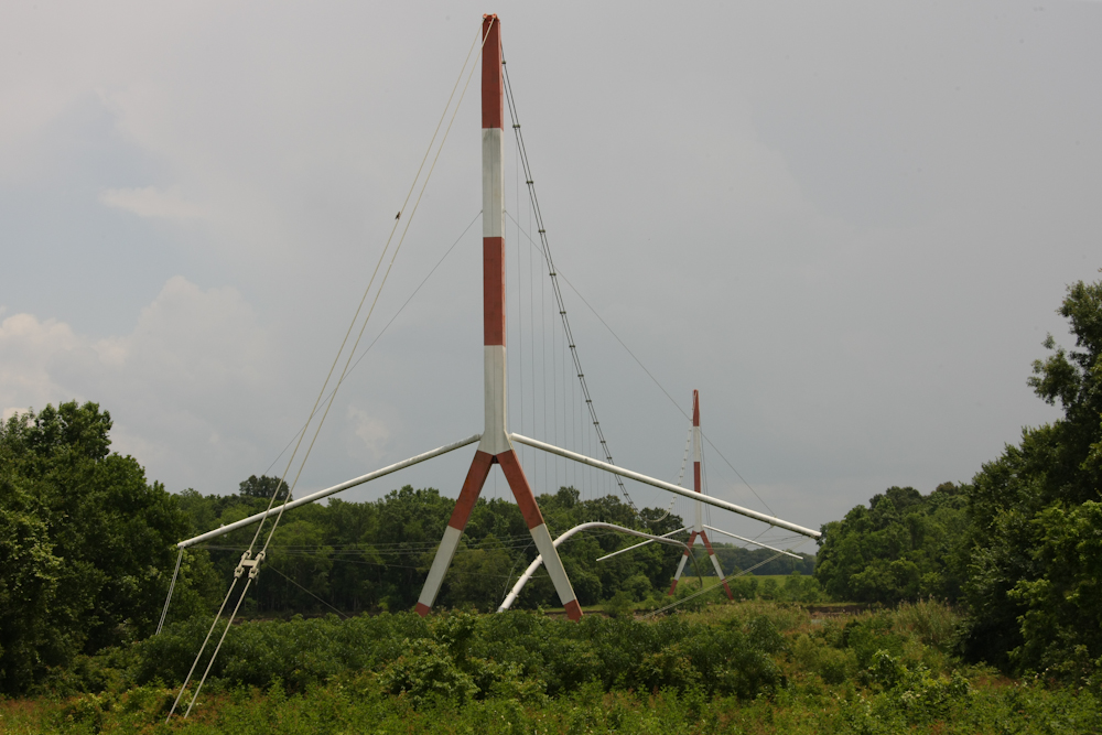
The
area is criss-crossed with petroleum pipelines. Above is a
pipeline bridge that crosses a nearby canal. The lateral
spars hold guy wires that prevent the suspended pipe from swinging
in the wind.
As
it turned out, the road did not go through. This is the end
of the line and we had to backtrack a few miles to exit the levee
road.
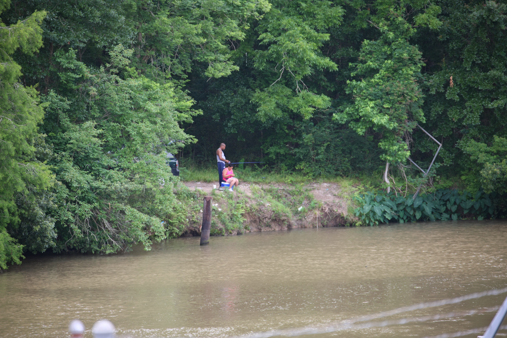
The
locals on the other side of the canal were fishing for lunch.
Bob
turned around and we followed suit.
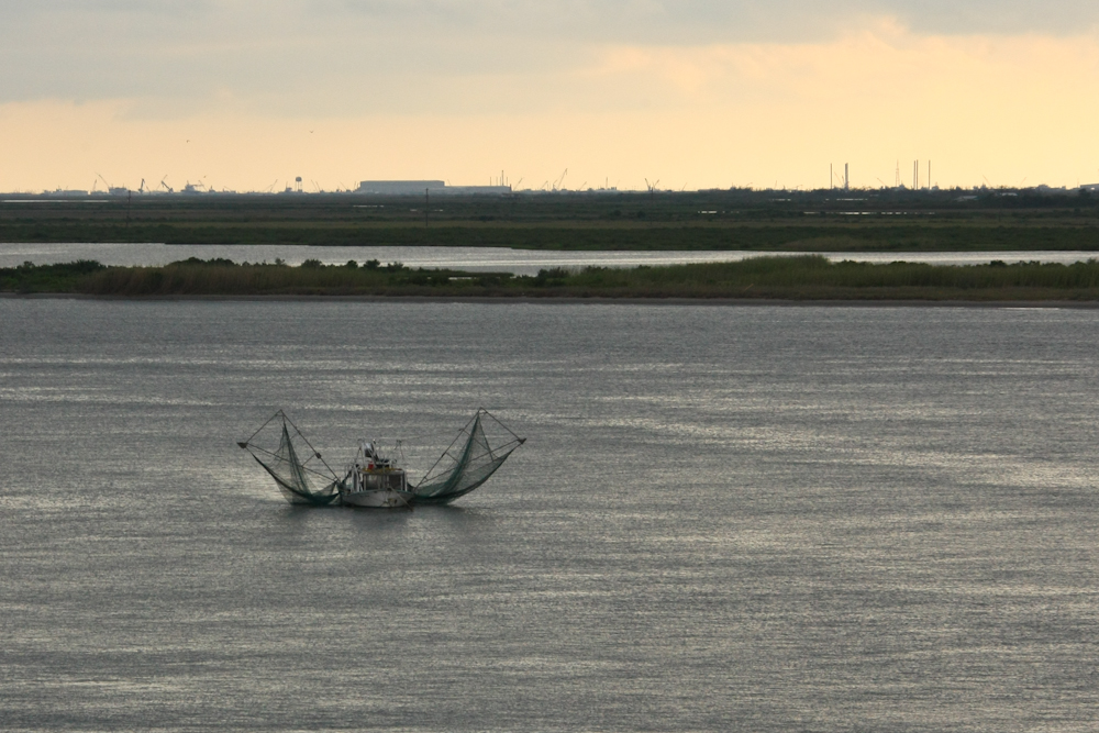
Once
we were back on the asphalt, we headed for Grand Isle. On
the new causeway, we spotted this shrimp boat hauling it its nets.
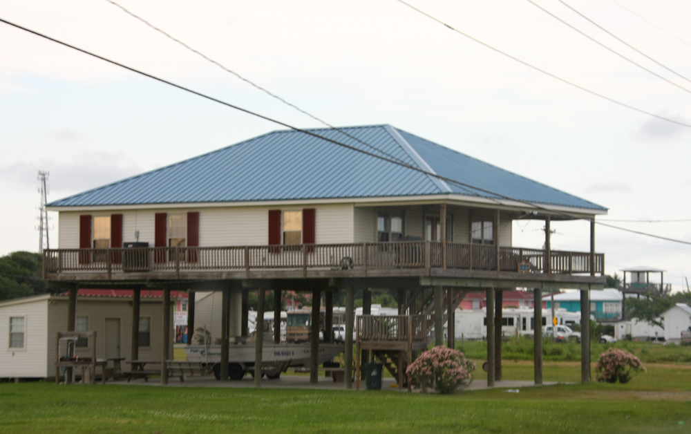
Virtually
all structures on Grand Isle are on stilts. The frequency of
flooding due to storm surge is high enough to make this
necessary. It could be a local ordinance for all I know.
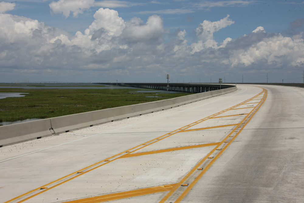
We
spent the night at the state park on Grand Isle. It was a
nice night and not too hot. Next morning, we headed back to
the mainland. The new causeway was an engineering marvel and
traveled for perhaps 10 miles above the swampy marshes.
The
marshes make travel in this area difficult, so a causeway is
pretty much a requirement.
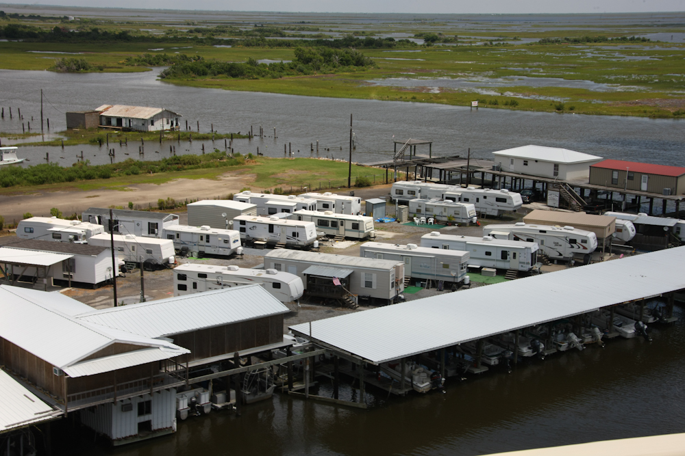
At
the end of the causeway, we saw an RV park that was actually
housing for the oil workers. Not a lick of shade here and
very hot on a sunny day.
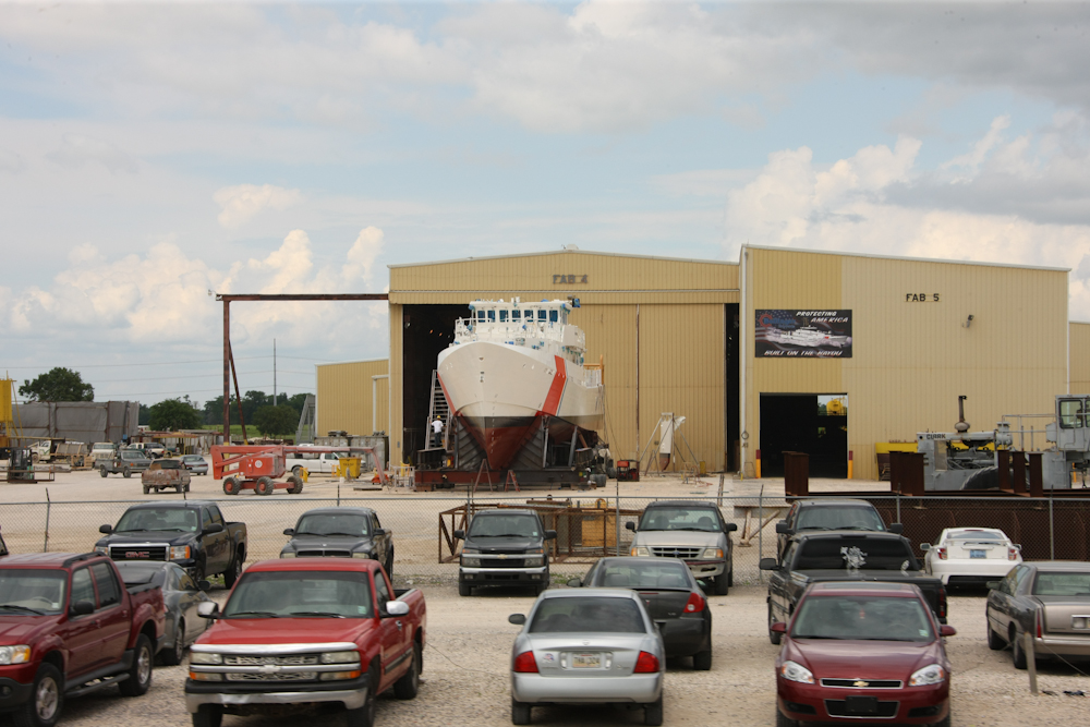
Further
north along LA-1 we passed this Coast Guard ship under
construction at a shipyard.
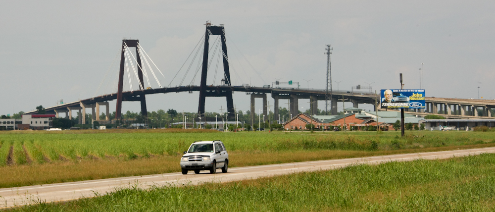
Heading
north onto I-310 we got a nice view of the bridge spanning the
Mississippi River.
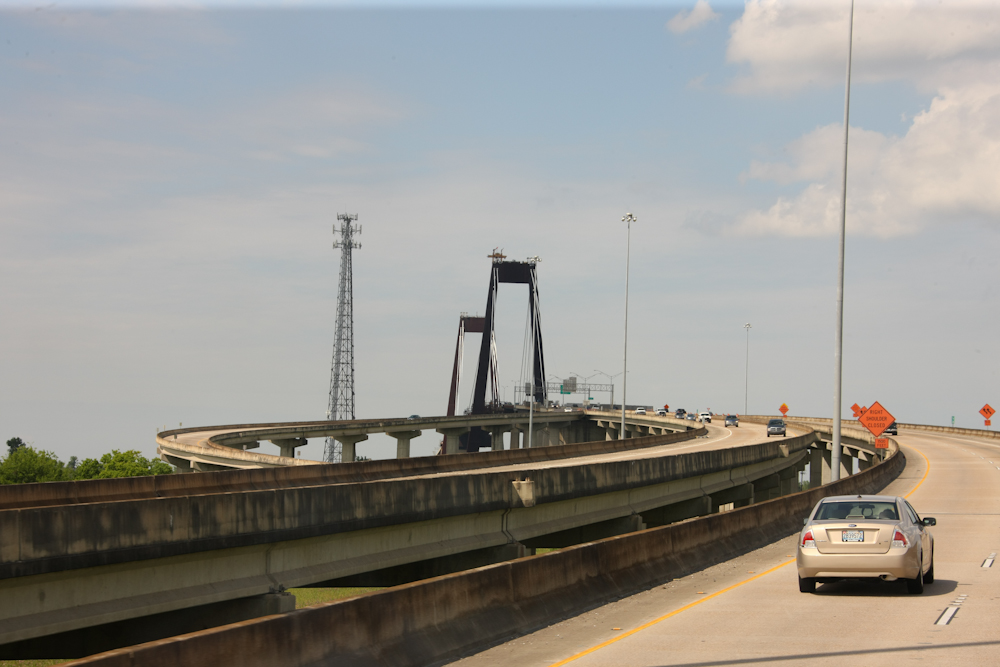
The
bridge and supporting roads is quite impressive.
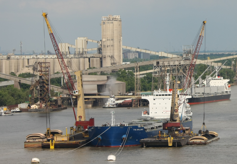
From
the top of the bridge, we could see these ships being loaded or
unloaded with clam shell buckets. The cargo appears to be
coal and the clam shells transfer the coal from the ship to barge
(or vice versa).
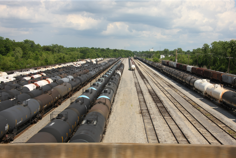
NOLA
has a significant infrastructure that supports the petrochemical
industry.

Ugh,
traffic. This tie-up was caused by gravel that spilled onto
I-10 from a large truck. The gravel caused a number of cars
to lose control and crash. Based in the info Bob got on the
CB radio, the event had been in progress for hours. We were
detained for about an hour.
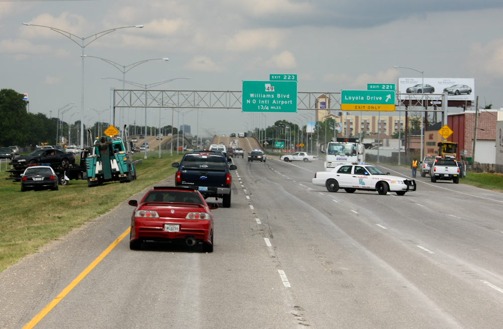
We
got to the epicenter of the spill and the DOT had loaders and
sweepers working on the problem. Note the last damaged car
being removed in the median.
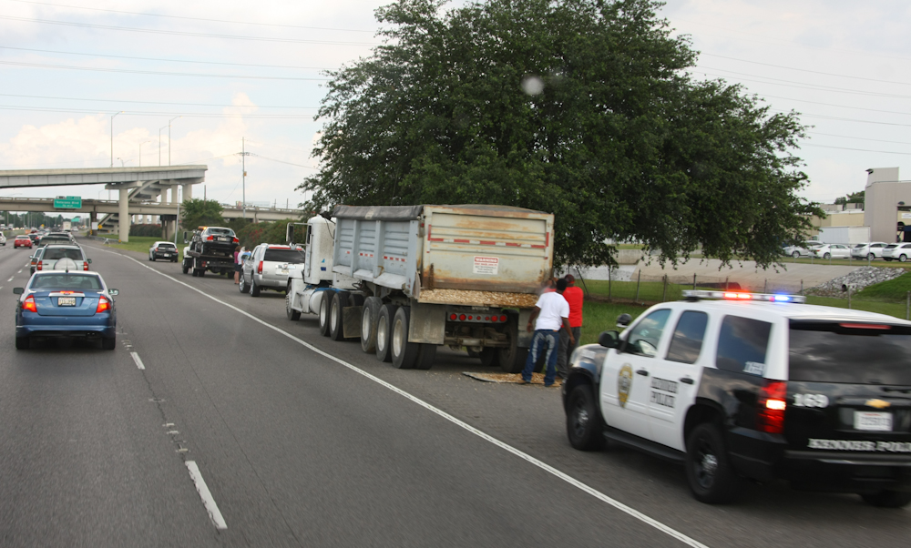
The
local police caught the culprit; they had the truck pulled of and
wrote a citation for the havoc caused by not securing his rear
dump gate. Note the damaged car on the wrecker in front of
the dump truck.
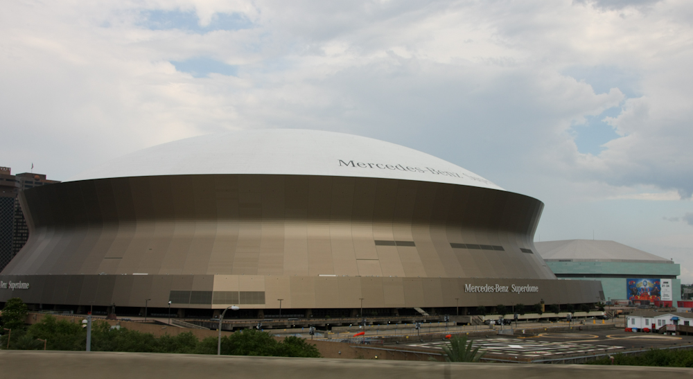
Our
path took us right next to the Superdome, now branded
"Mercedes-Benz".
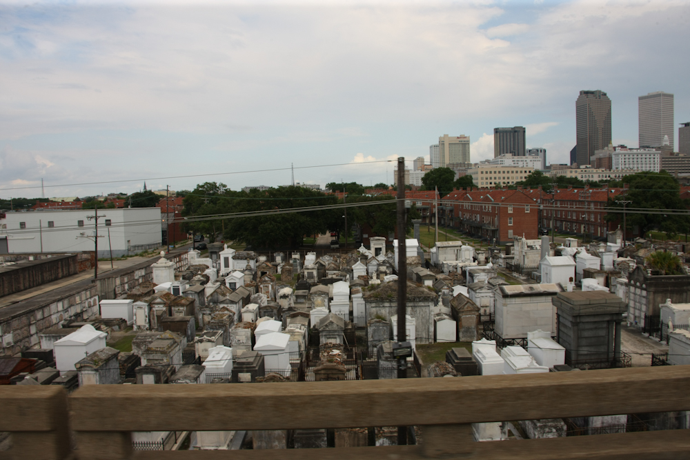
In
this portion of town, I-10 is an elevated causeway. From the
road, we could see one of the many above ground cemeteries which
are icons of NOLA.
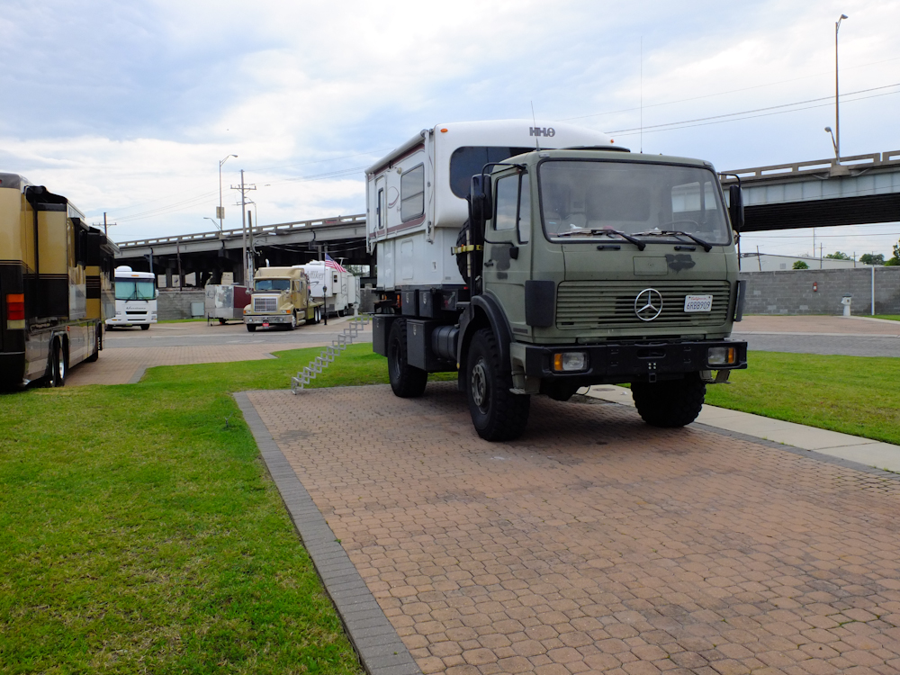
We
stayed at the French Quarter RV park and it is one of the nicest
places we have ever stayed in our truck. It is only a short
walk from the FQ, but it is in a seedy portion of town. The
only downside was we also had a nice view of the I-10 causeway and
were in direct line of sight of the traffic and it's noise.
I-10 is visible in the top of the photo above.
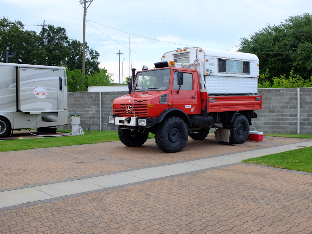
Thor
and the 1300L were the "belles of the ball" at FQRV.
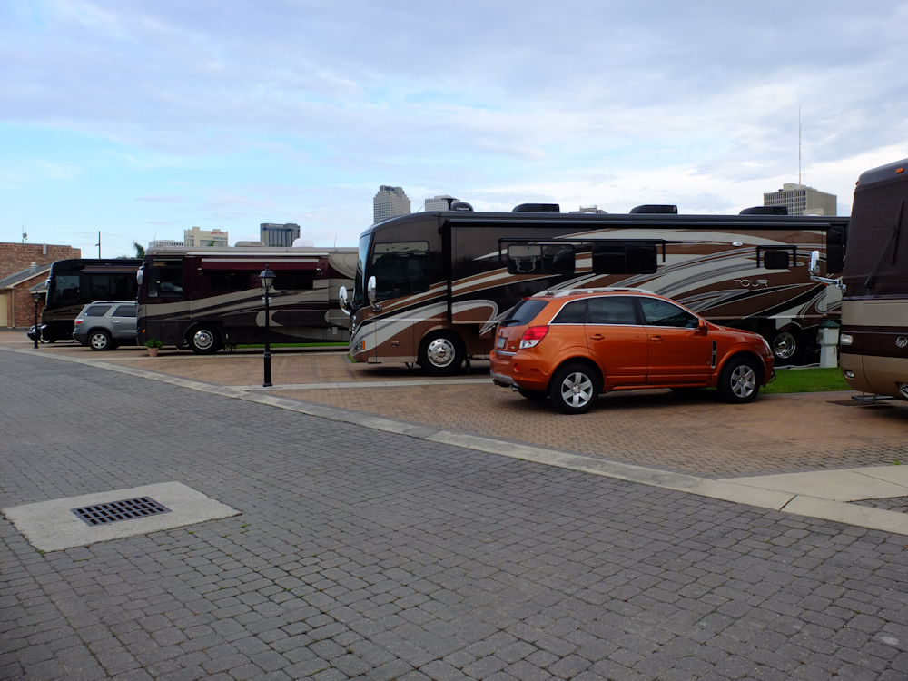
FQRV
is pricey, but it is so close to the action in the French Quarter
that it attracts the high-end crowd. There were some very
nice, and expensive, RVs in this park. We met many of the
owners at the hot tub and our trucks produced some interesting
conversations.
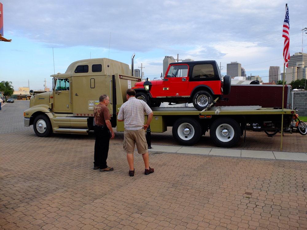
NOLA
is a convention town and the fellow on the right in the photo
above was in town for the wireless convention. He had this
18 wheeler custom built to carry his jeep while pulling his 5th
wheel. And, he pulled a small cargo trailer behind the 5th
wheel. He was over-length by quite a bit, but stated that he
had only been pulled over once in 15 years. The fine was
$300, so he just treated it as another tax and continues to
operate his rig.
The French
Quarter is interesting, but
tuned to separate tourists from their cash. But, once you
look
past that fact, there are many interesting historical things to
see and
do. Plus, there are tons of restaurants and bars. Once
you take into account the "sleaze factor", things are fine.
| Previous Adventure | ||
| Trip Home Page |
Photos
and Text Copyright Bill Caid 2012, all rights reserved.
For your enjoyment only, not for commercial use.