
Event Report
20121106
We had just gotten back
from 2 weeks in the Caribbean and to be honest after sitting
around for a few days, I was feeling antsy. So, Kathleen
and I headed out to Torrey Pines Reserve on the coast just north
of La Jolla. Being election day, we completed voting and
had lunch at the local Italian restaurant. From there, we
headed to the beach for a walk down the cliffs.
The photos below are what we saw.
We
parked at the Torrey Pines golf course and headed north along
the trail. This area is on the flight path for MCAS
Miramar and therefore we expected to see many military aircraft
on a path to a landing at Miramar. Above is an Osprey
which is a hybrid aircraft that can land like a
helicopter. In the photos above, the wings and engines are
rotated to allow slow flight. For landing, they are
positioned vertically and for normal flight they are horizontal.
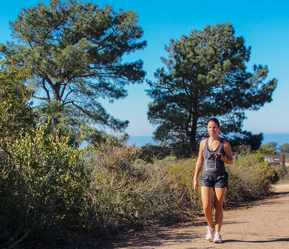
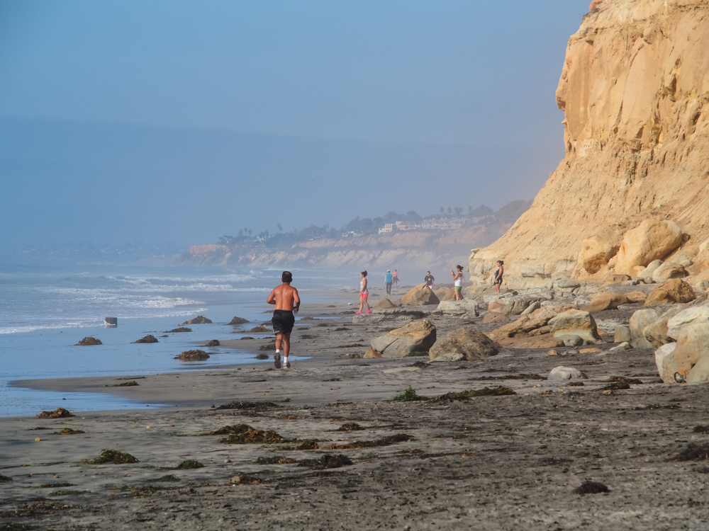
We got
our first view of the Torrey Pines along with one of the trail
junkies that use the trail every day for exercise.
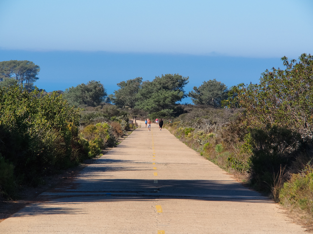
The main
trail uses the old highway. The gal on the right with the
black outfit is actually in a work suit with tennis shoes.
She too uses the trail down the hill every day at lunch.
There were runners and mountain bikers as well using the trail.
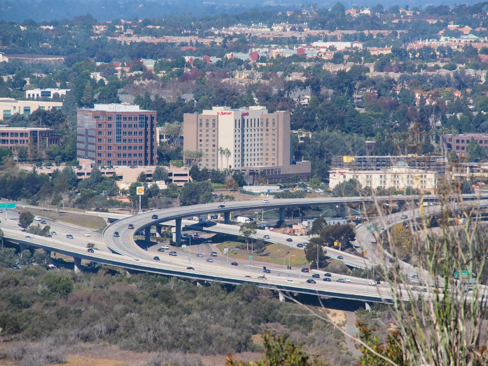
From the
crest of the hill we could see into Sorrento Valley and got a
view of SR-56 and I-5. This is yet-another monument to the
automobile here in SoCal. In the distance you can see
Carmel Highlands. The locals that live there like to call
it Del Mar, but it is a case of developer-based zip-code
creep. Del Mar ends at I-5 and anybody that lives to the
east of I-5 lives in another town, despite what they will want
you to believe. The fact is that claiming you live in Del
Mar adds several hundred thousand dollars to the value of your
home. That is the reason that I claim I live in "La Jolla
East" when it is really North Clairemont.
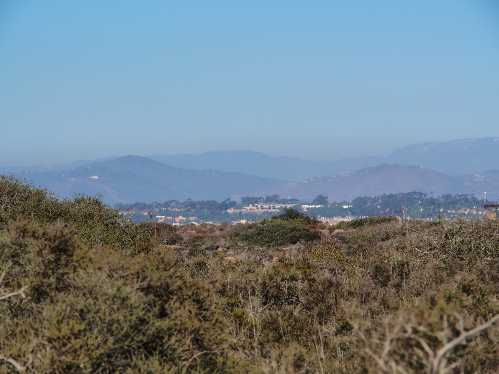
To the
north east you could see into the high rent district of Rancho
Santa Fe and to the hills beyond.
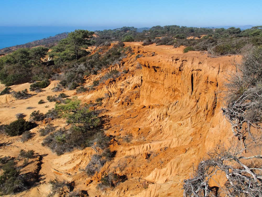
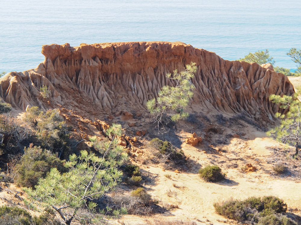
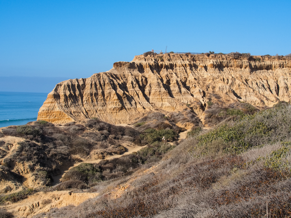
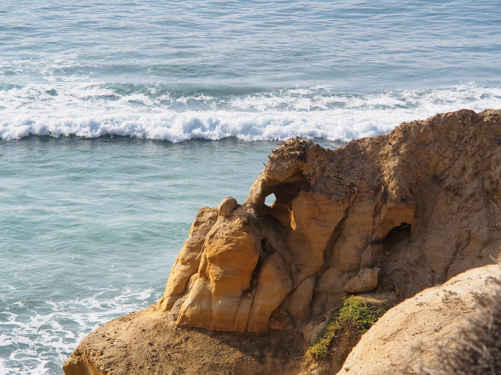
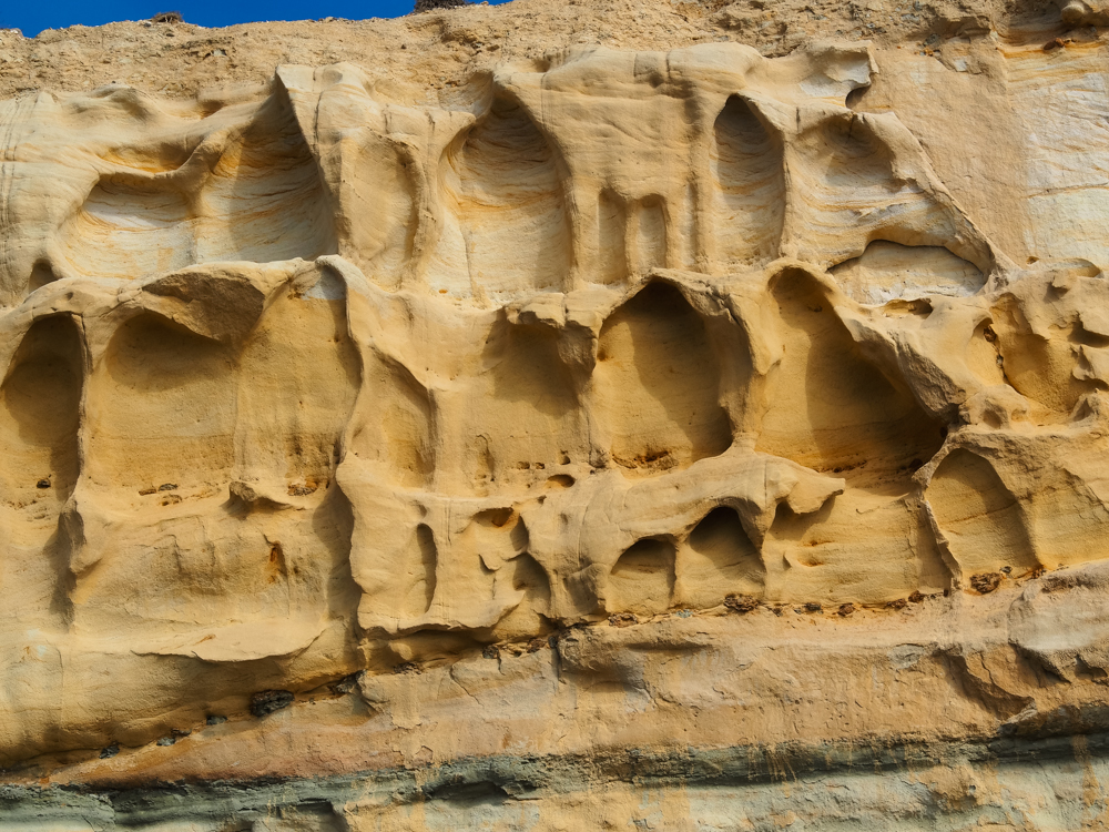
The
cliffs at Torrey Pines come in segments. This is the upper
segment and consists of the softest material.
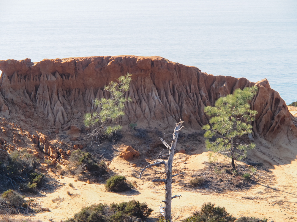
The soft
material of the upper layers produce interesting erosion
patterns similar to the formations in southern Utah.
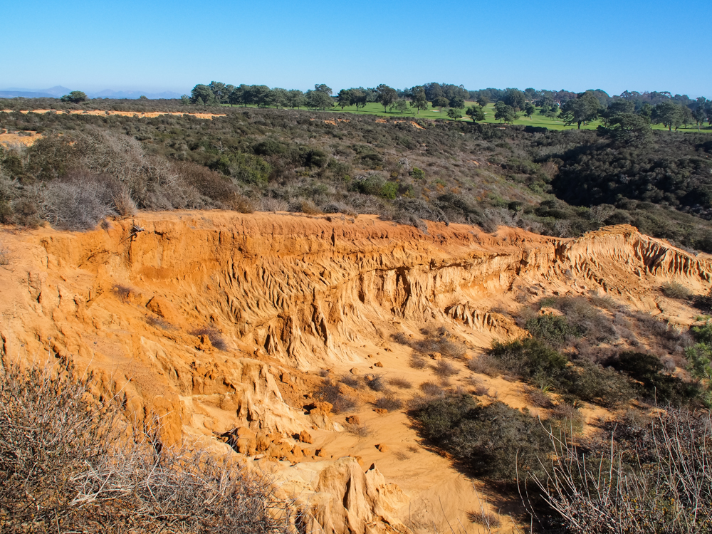
The
world-class golf course at Torrey Pines is visible at the crest
of the hill.
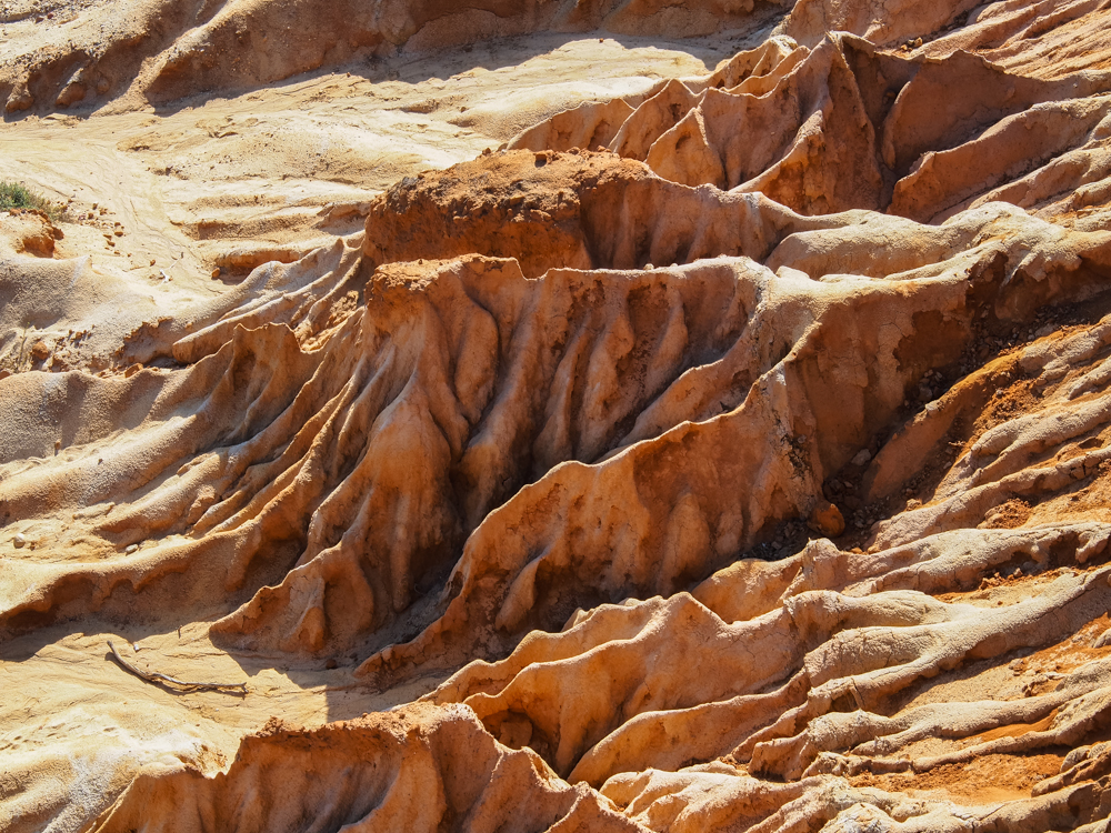
A zoom
shot of the erosion patterns reveals intricate details.
The
younger and smaller Torrey Pines look quite scraggly.

Because we were on the flight path for MCAS Miramar, we had multiple fly-overs, this one was a CH-53 or whatever the Marines call it these days. Note the outboard fuel tanks, refueling spear on the front and the IR camera on the front spar.
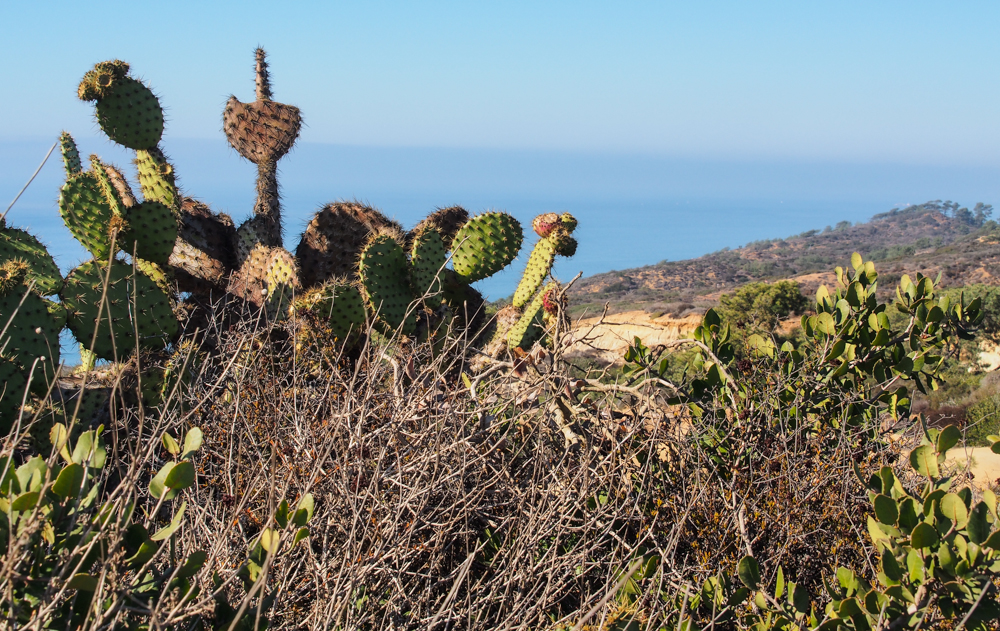
The area
around San Diego is a desert despite what folks might tell
you. The presence of the Prickly Pear cactus attests to
the dryness that we typically suffer.
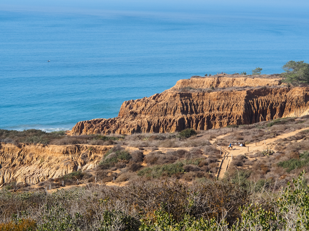
We got a
view of the cliffs next to the ocean. Stairs of one of the
Torrey Pines trails is also visible.
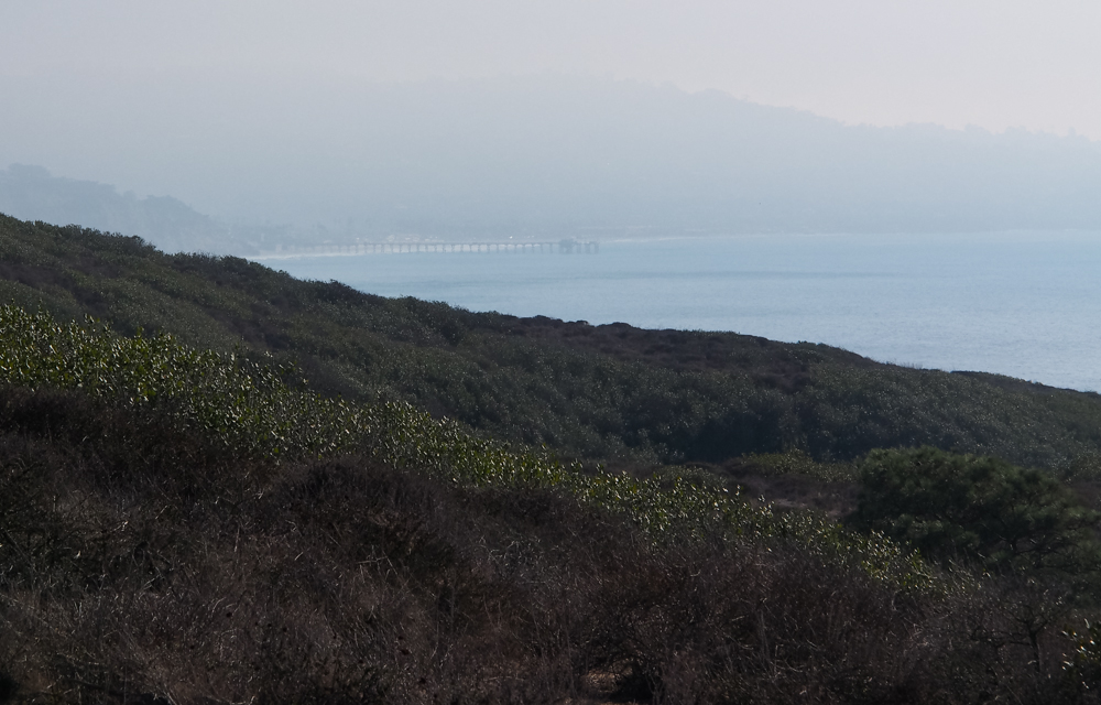
To the
south, barely visible through the haze was the Scripps Institute
pier north of La Jolla.
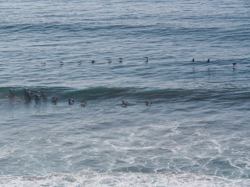
Flights
of pelicans were working the waves near the beach.
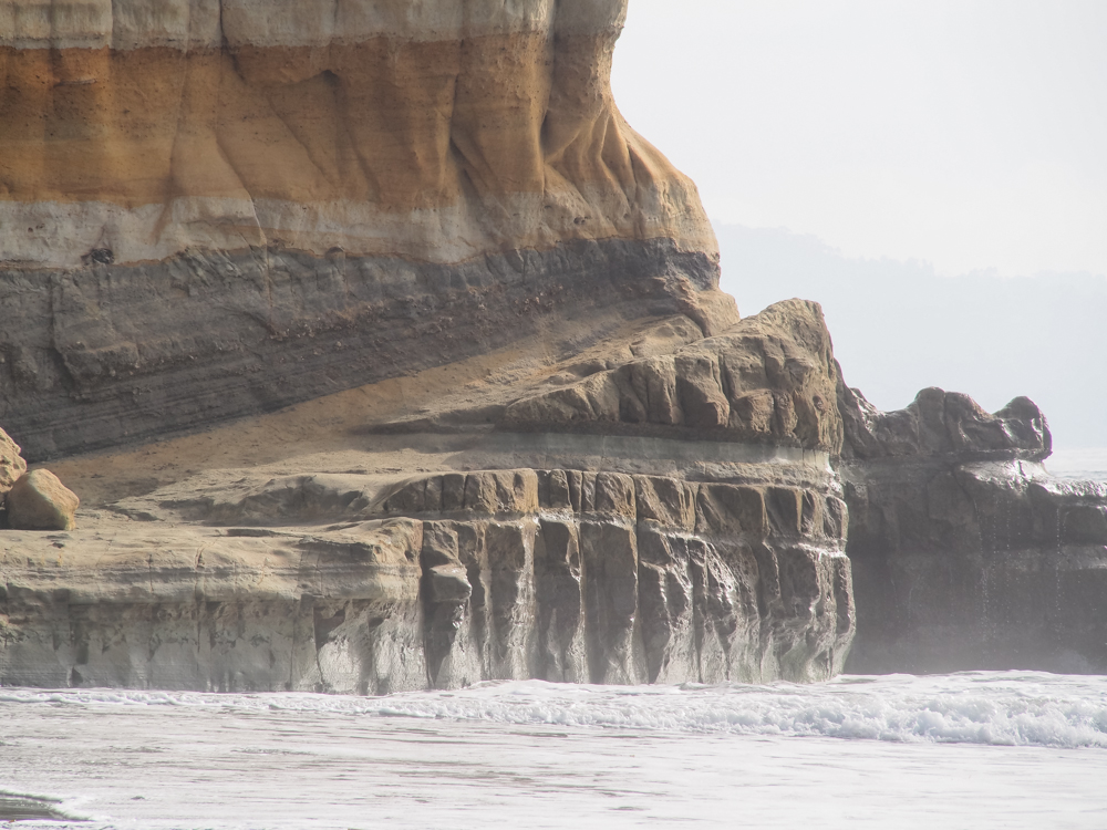
The
headlands of the cliff were quite imposing but the edges visible
at the left of the photograph above were still 100 feet above
the water.
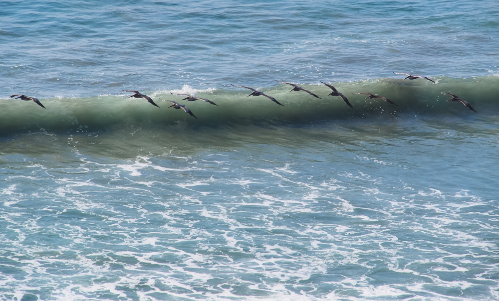
The
pelicans worked the air currents coming off the breaking waves
to minimize their flying efforts. They are masters of this
technique which utilizes the "wing-in-ground" effect when they
fly close to the water to increase their lift.
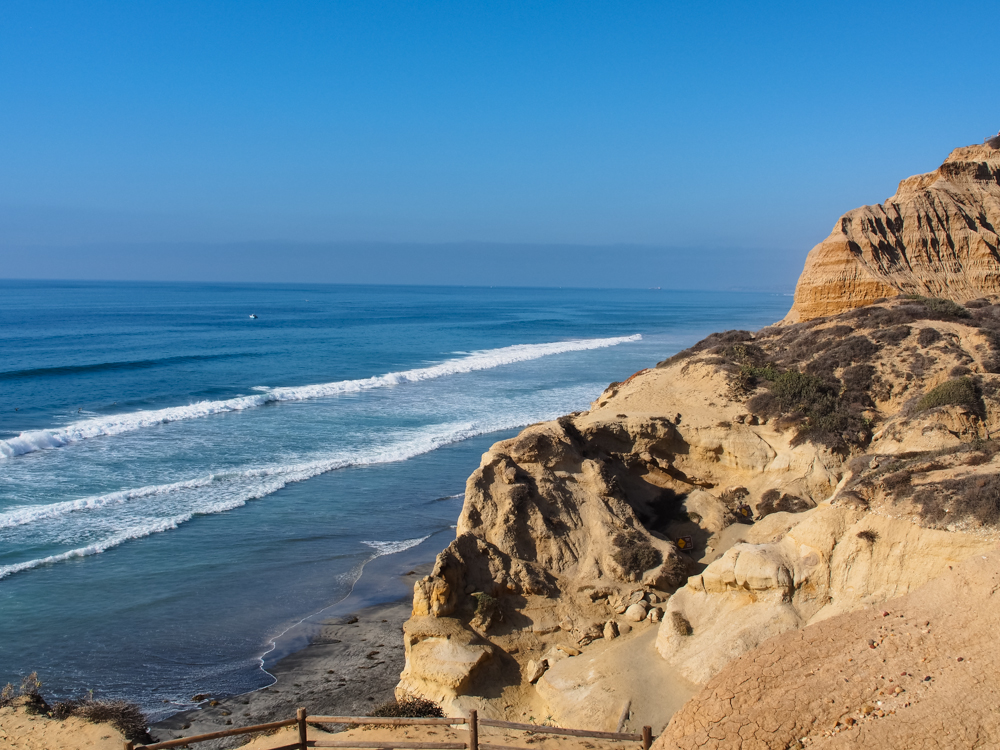
Finally
a clear view of the surf.
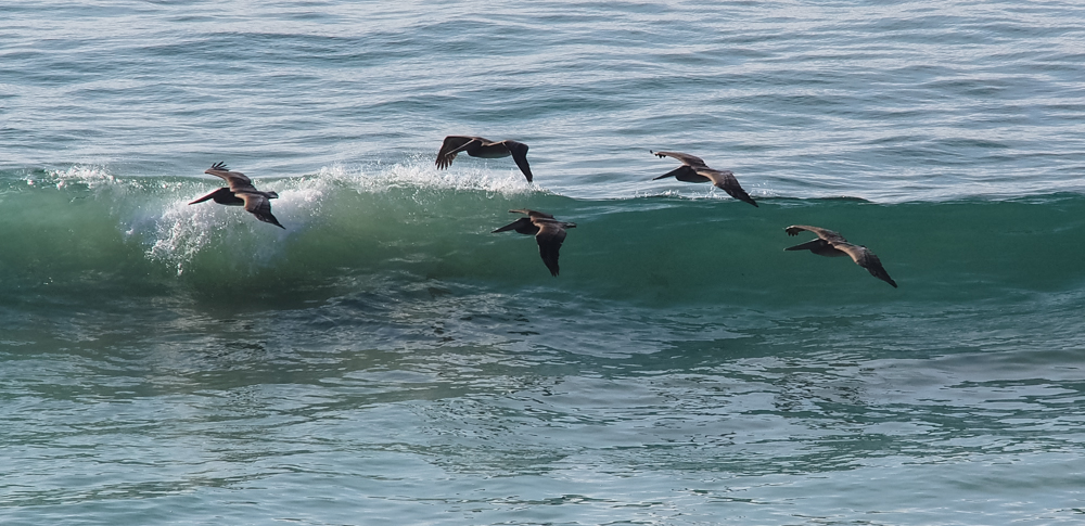
There
were flight after flight of pelicans working the air currents
coming off the waves.
Note the eroded hole
in the cliff.
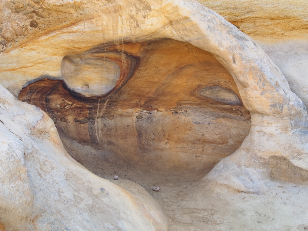
There were a number
of interesting shapes that had eroded into the coastal
formations. This alcove showed evidence of included
cobbles in the formation.
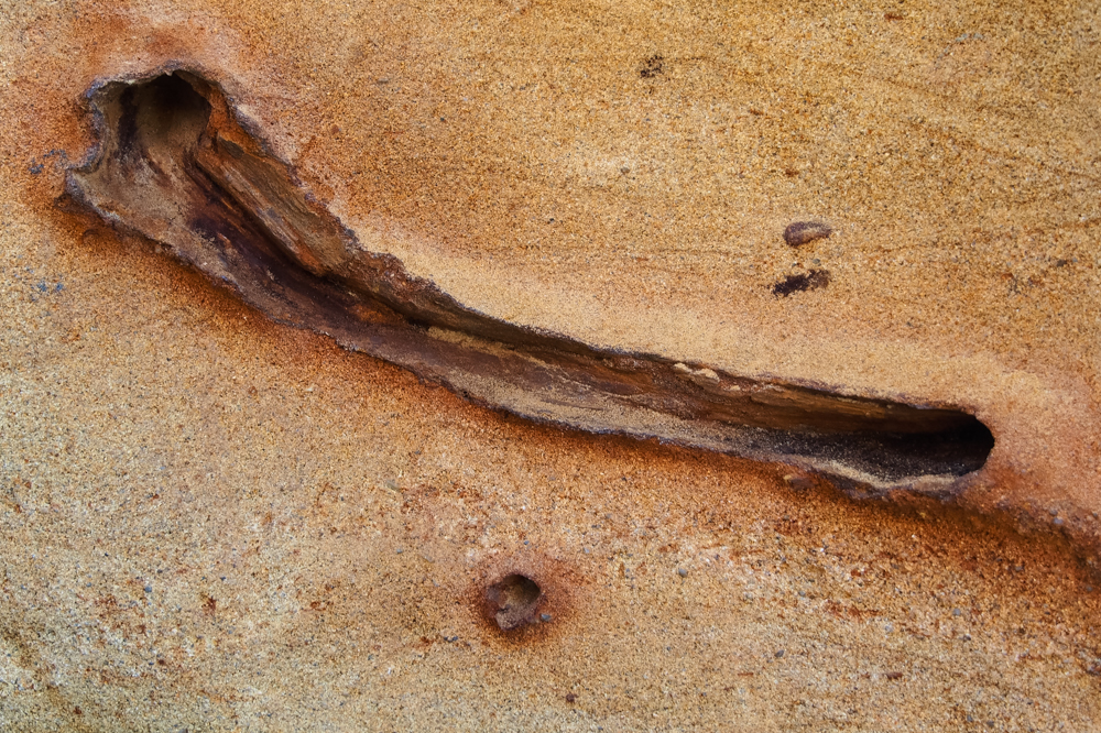
Near the bottom of
the cliff, I spotted this fossilized root in the cliff.
The root had penetrated into the sand and then rotted out
leaving a tube. The sand turned into sandstone and was
then eroded thereby exposing the root tube. Quite cool
and visible to anybody that took the time to consider what
they were seeing.
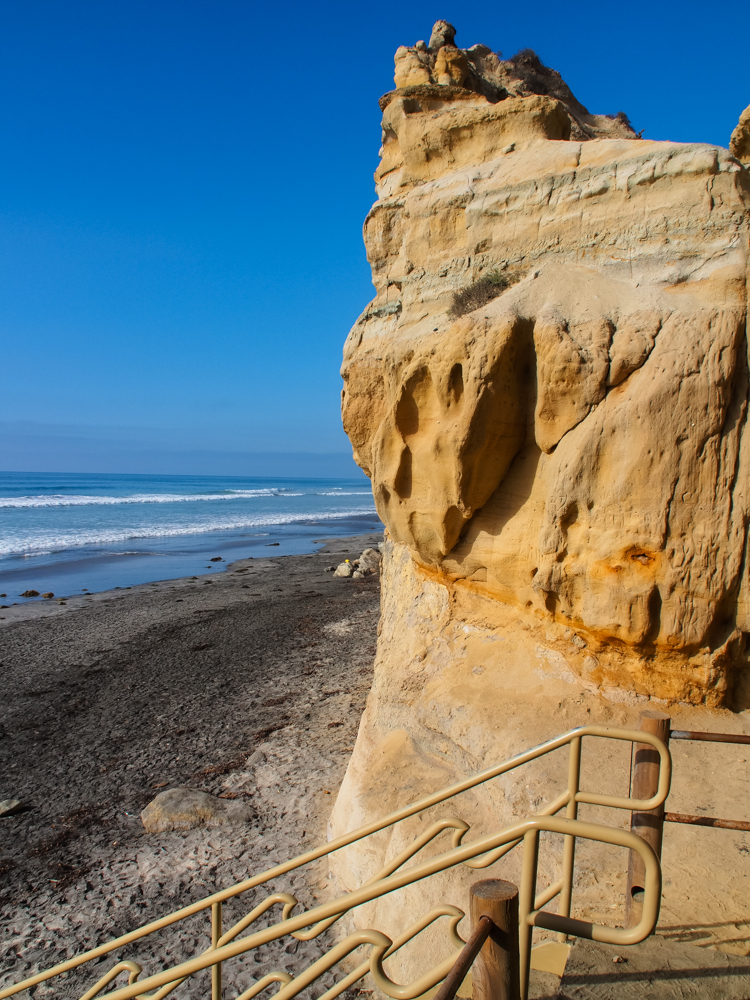
The bottom pitch of
the cliff had metal stairs because the surf turns anything
else into mush after a year or so.
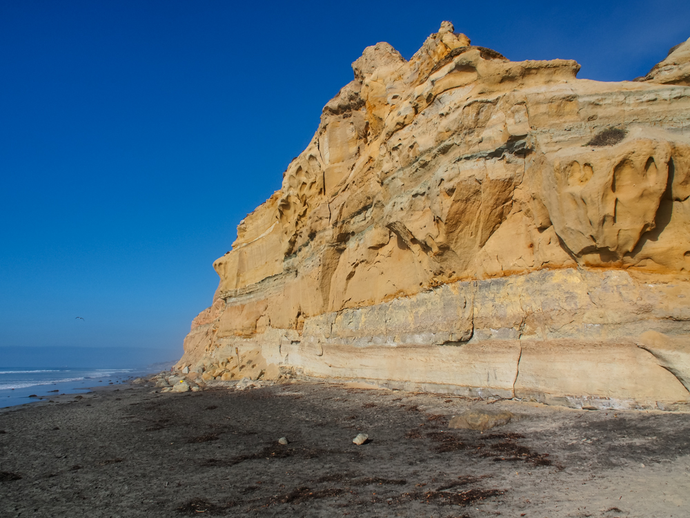
The cliffs were
steep, but quite unstable. Spalls and rock slides occur
here all the time, sometimes taking lives with them.
To the north the
signs of collapse of the cliffs are evident. The large
boulders on the beach came from a collapse of the cliff.
In the distance, you can see the homes on the cliffs of Del
Mar.
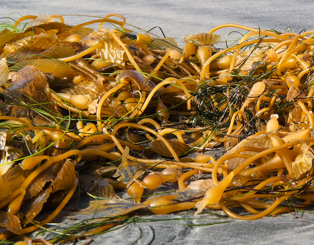
There was plenty of
sea weed that washed up on the shore. Kelp is the
predominant type of weed off the coast and the detritus
produced complex tangles of material when it hit the
shore. Note the bulbs in the kelp that help keep the
strands floating near the surface to gather sunlight.
The upper portions of
the cliff had interesting erosion patterns in the cliff face.
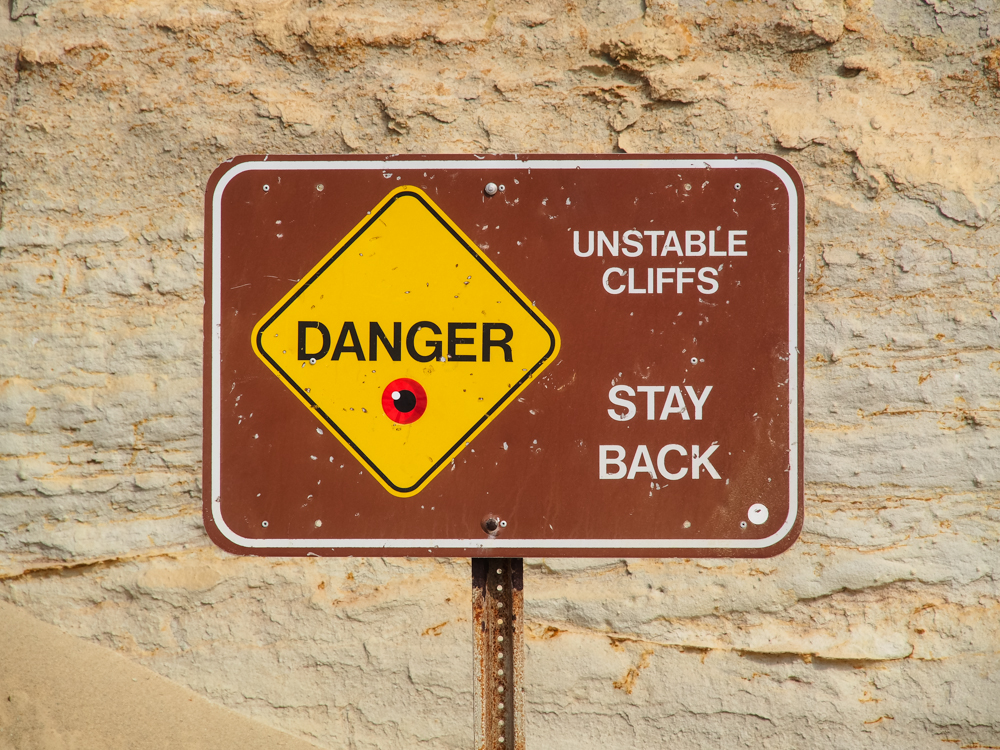
The sign says it all;
there are folks killed here along the cliffs of Torrey Pines
every year. They put their towels near the cliff and the
cliff slumps and that is that. They are buried alive or
dead depending on whether the slide kills them on impact.
The tide was starting
to come in and the waves were pounding against the
cliffs. Note the warp in the strata near the cliff face.

OK, so I admit that I
am somewhat of a voyeur. But, after a week on a cruise
ship looking at fantastically-fat-asses, this gal looked
pretty good to me. All I can say is "It is good to be
back home".

When she finally
turned around to face me, it was not disappointing.
Indeed, quite the contrary. Her red-headed buddy looks
pretty tasty as well. These two made my afternoon.

I had to snicker a
bit when the two of them started dancing in the surf.
Ah, to be young again.
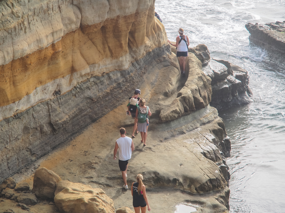
To the south, the
path along the beach actually went onto the cliff. Note
the trench that the gal is walking in. This trough was
worn by the action of hikers on the rocks.
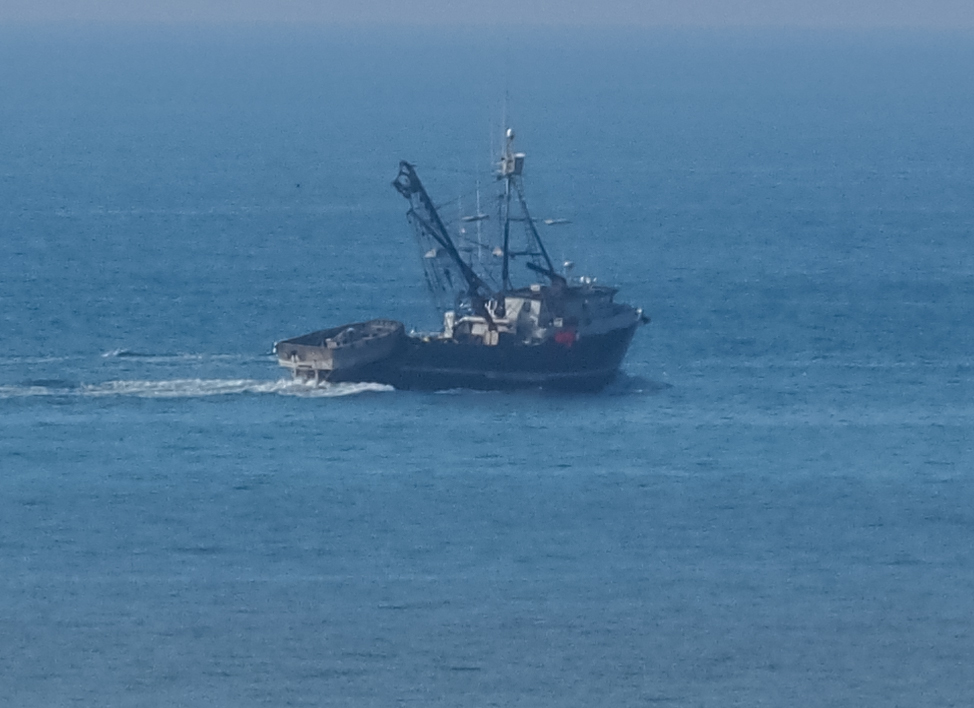
A crop-of-a-zoom view
of the fishing boat that was working off the coast. I am
assuming that he is returning home to Oceanside or Dana Point
since he is heading north.
Torrey
Pines State Reserve is an awesome place and a favorite with the
locals looking for an interesting hike with great views.
If you are in the area, you must check it out.
Copyright Bill Caid 2012. All rights reserved.