
The
photos below are what we saw.
The
screen grab above is our route as logged by the "Trails"
application running on my phone. Our path took us over the
highest areas on the island as well as the rugged Na Pali Coast

We had a
bit of time on our hands between check-out time and check-in
time, so we decided to head to the south coast. This
structure is called "Spouting Horn" on the south coast near
Poipu. It is a blow hole that spouts spume when the waves
hit it just right.
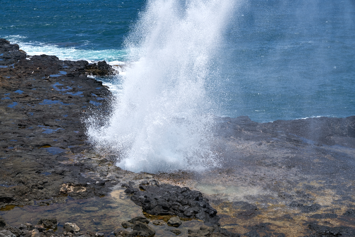
And when
the wave timing is correct, it shoots a huge amount of water up
the blow hole. The hole "breathes" and you can hear the
sucking sound as the waves retreat.
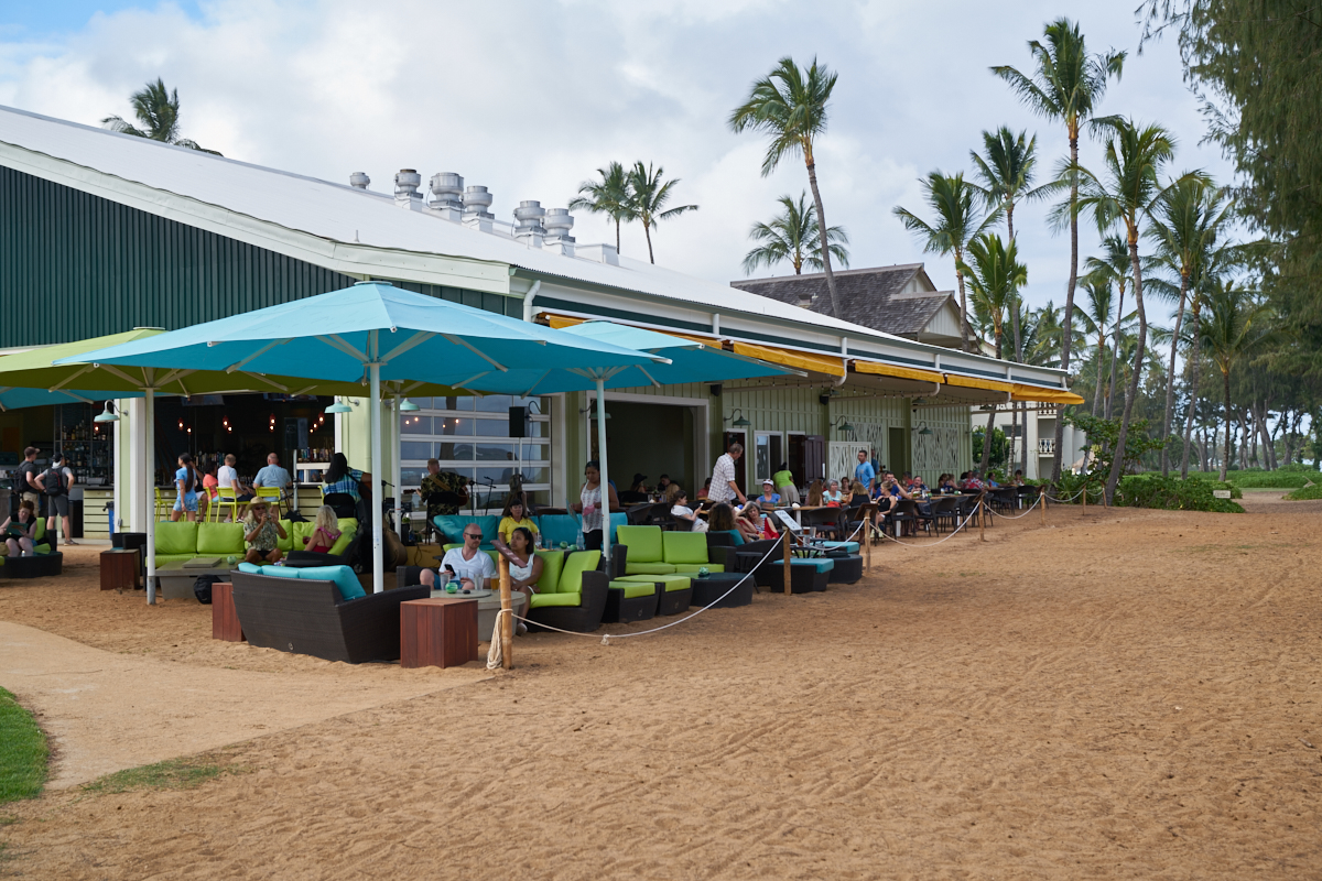
We
we had "sushi" in Poipu but they had only rolls and we wanted
sashimi. So we rolled on and came to the Beach House
Restaurant right on the water.

Kathleen
is a lizard fan and spotted this fellow inflating his neck sac
as part of their mating process.
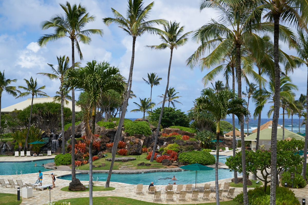
Our new
hotel was much nicer, albeit more pricey. Multiple pools
and hot tubs FWIW.
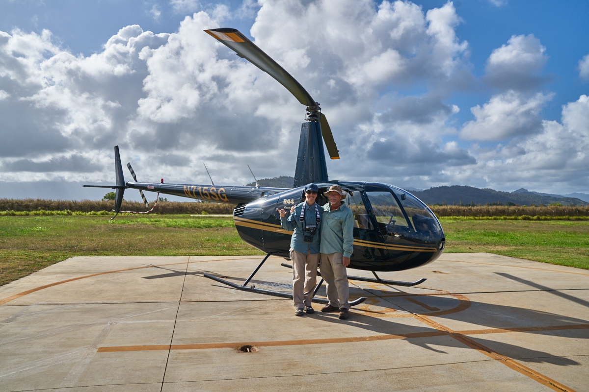
Kathleen
reserved this Robinson R44 "Raven" for us. The pilot was
nice enough to take a photo of us prior to departure.
Because of the duration of the flight (and we paid extra) we
were the only passengers.

A view
of the 'copter's control yoke.
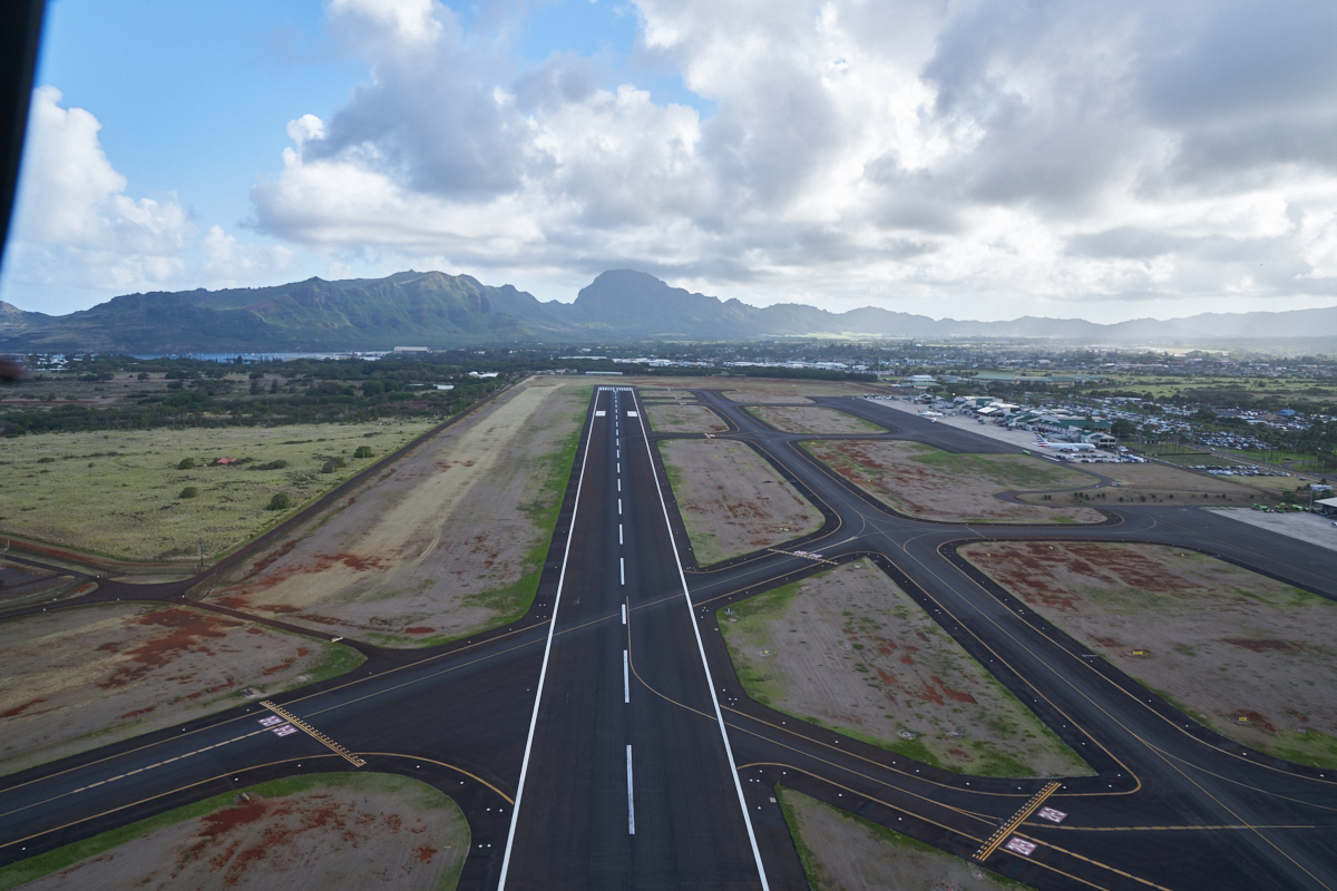
We got
our safety briefing and headed out. Above is a view of the
Lihue airport that few except pilots get to see.
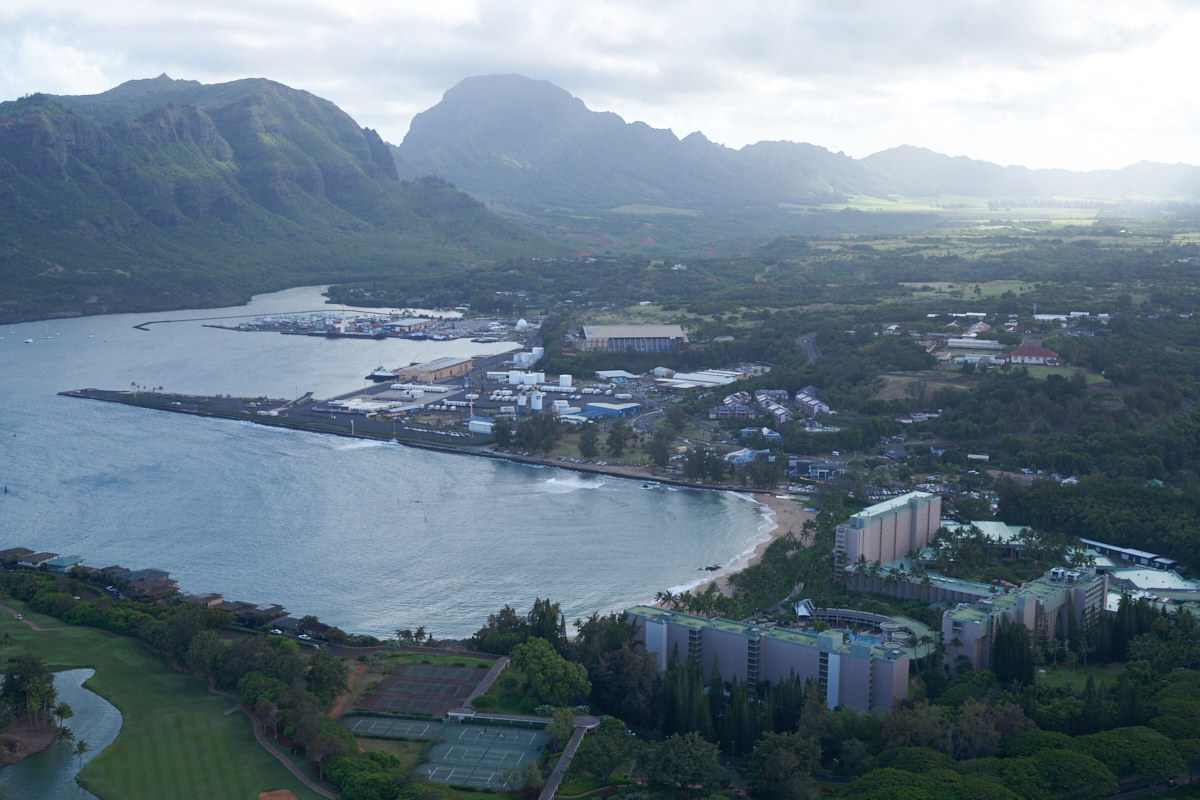
Our flight
path took us over the Lihue marina area. The large complex
is the Marriott Hotel.
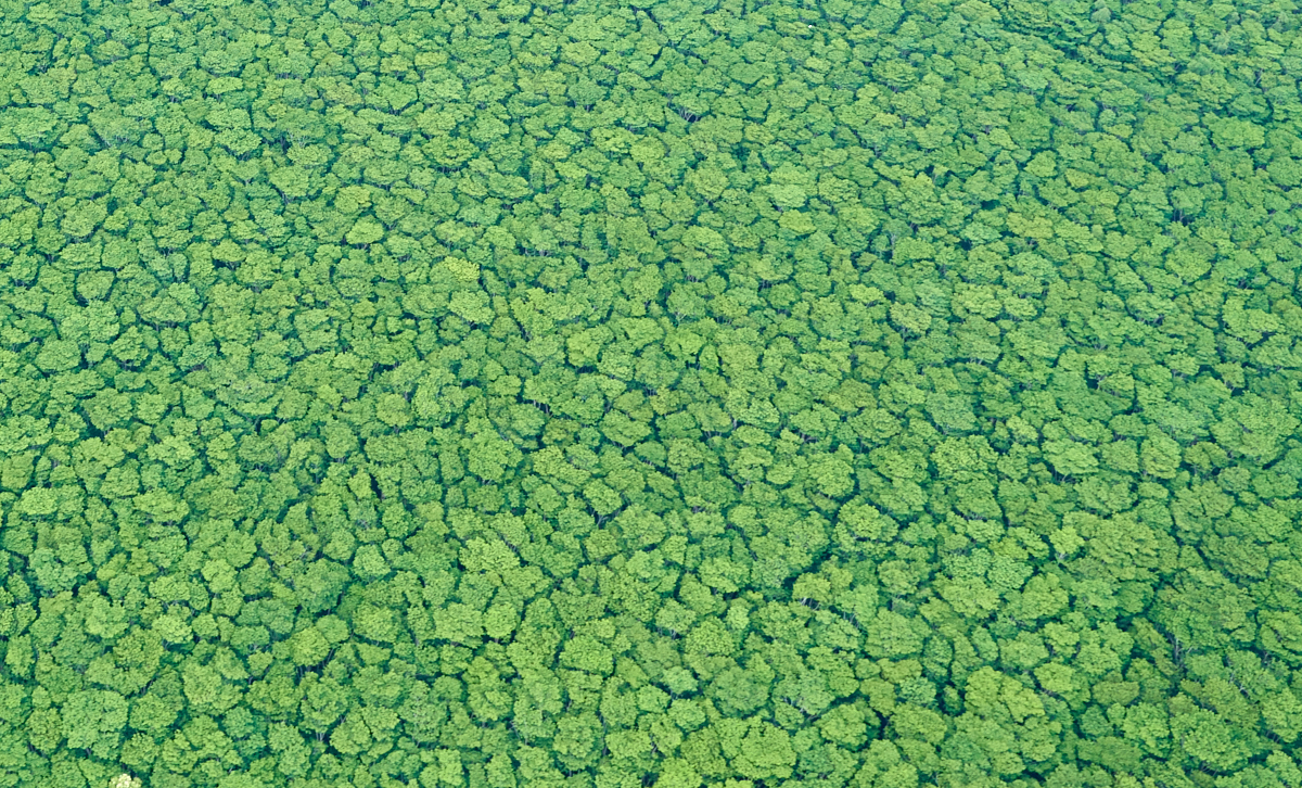
From the
air, the patterns of the tree canopy looked fractal.
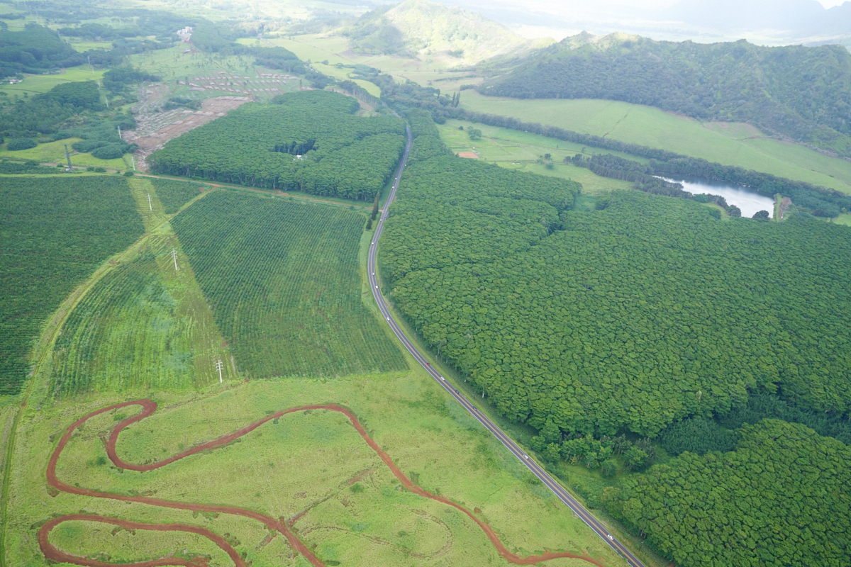
The dirt
track is for rented quads.
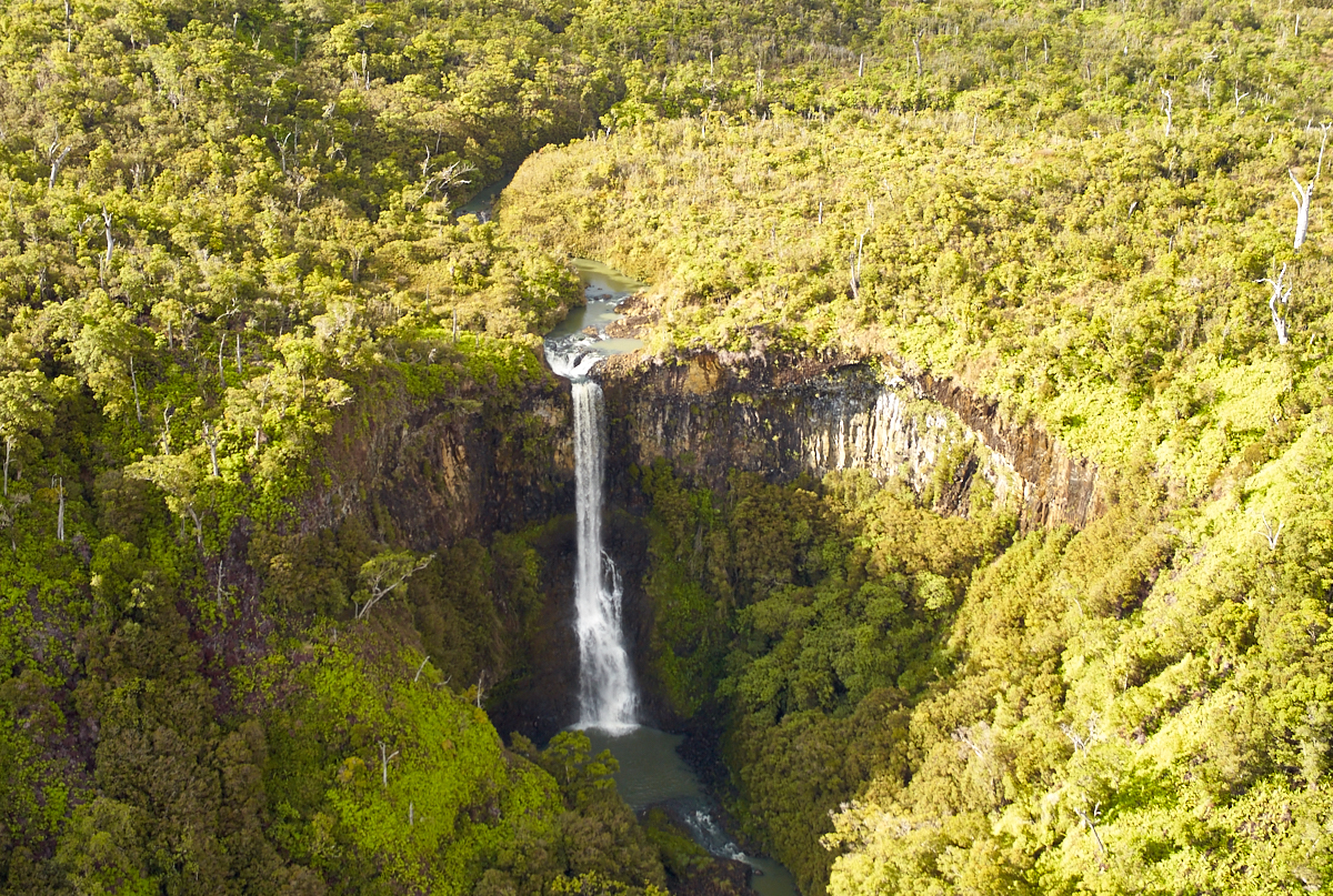
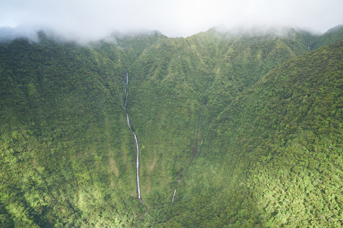
We came
to our first waterfall (of hundreds) very soon. If this
falls has a name, I do not recall it.

Note the
pools at the bottom of each cascade.

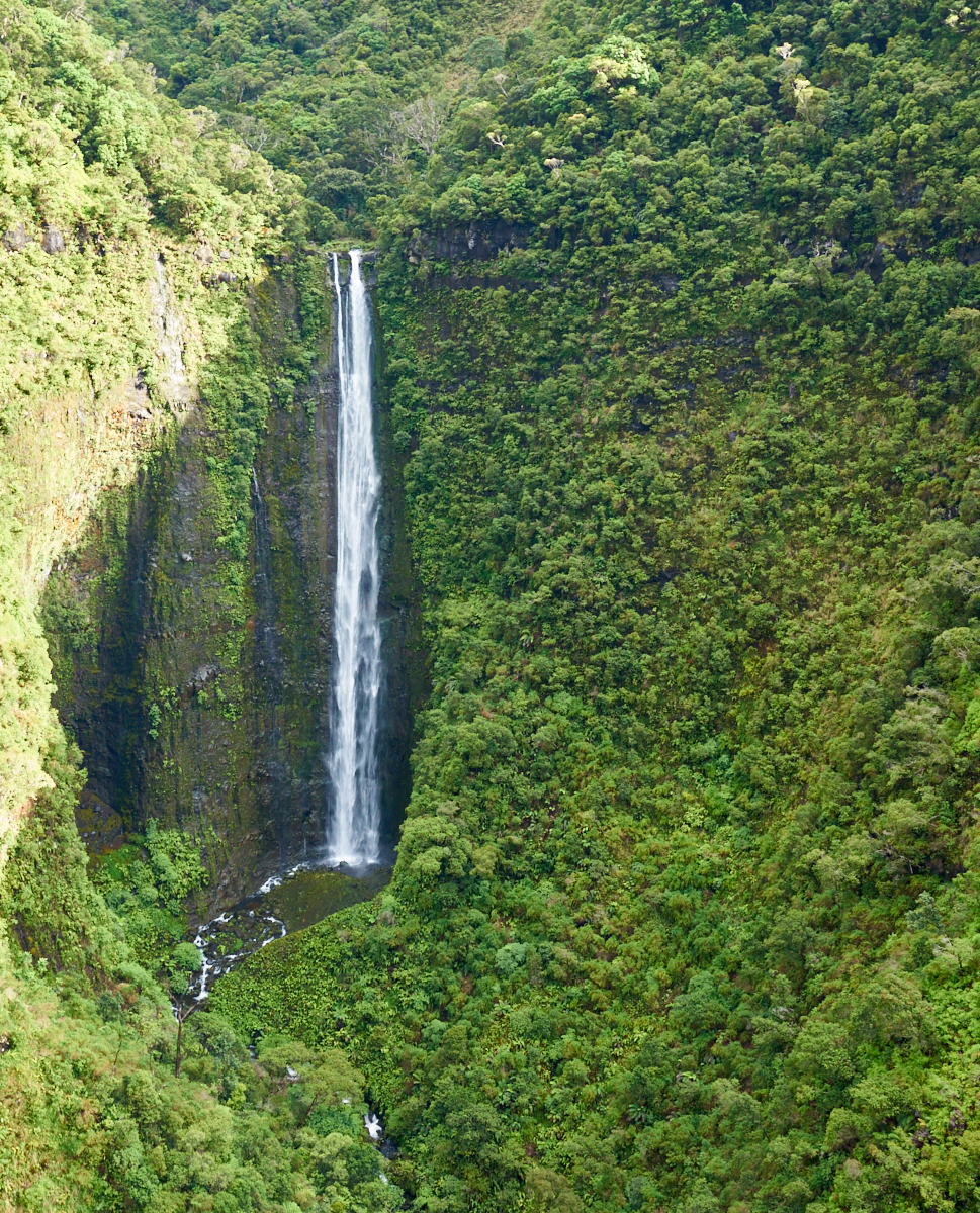
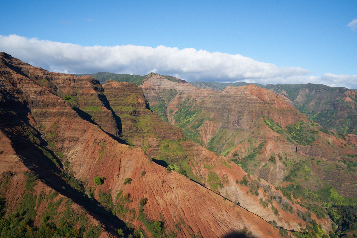
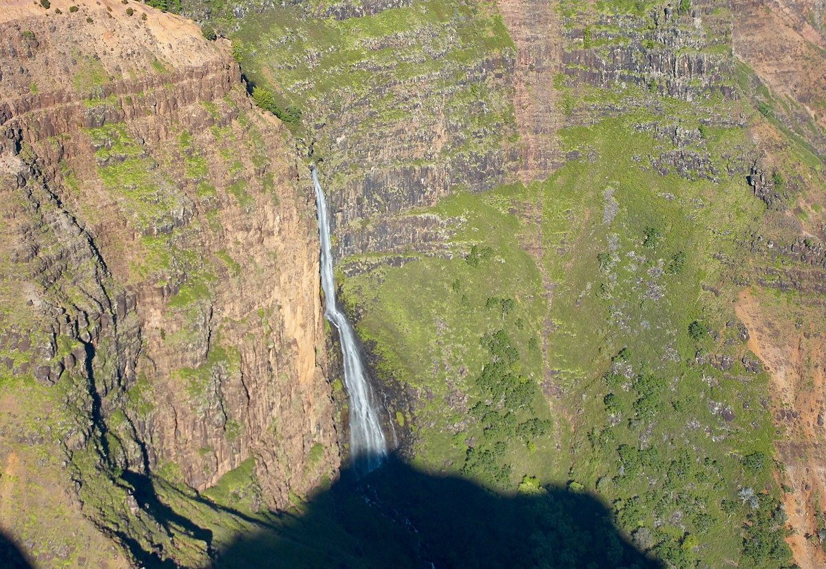
The
terrain was very steep and rugged. Many of the waterfalls
that we saw were not accessible even by foot. Note the
basalt columns at the top of the falls: yet another testament to
the volcanic history of the island.
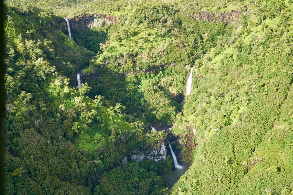
Many of
the water courses converged into a single stream closer to the
bottom of the mountain.
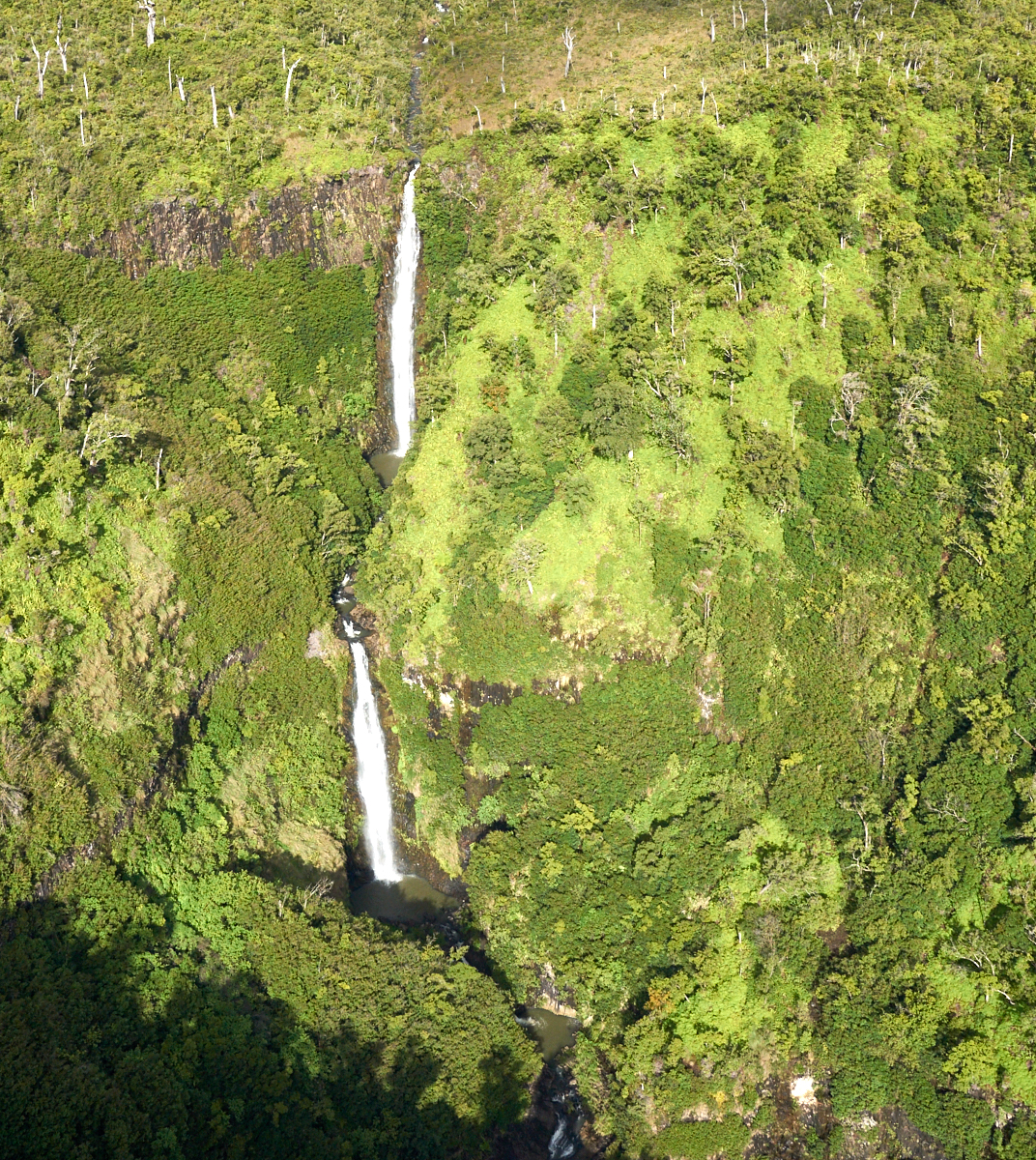
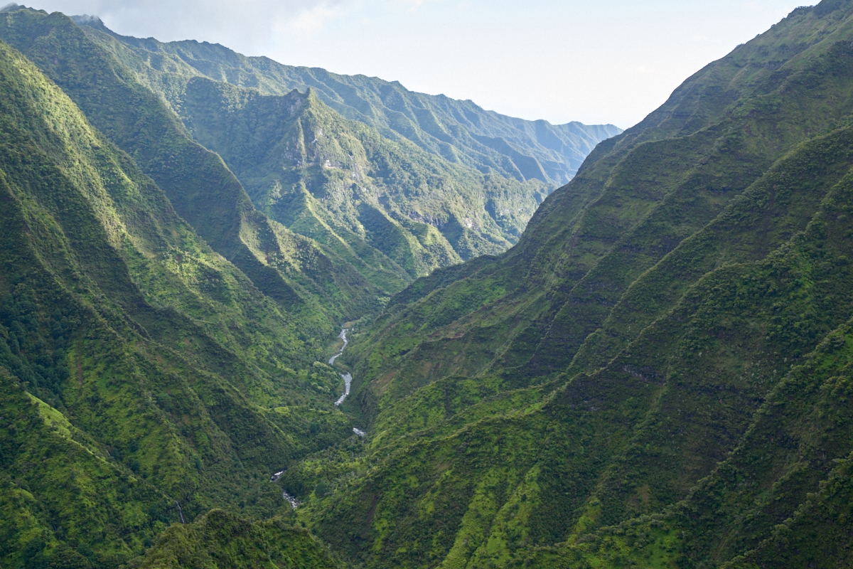
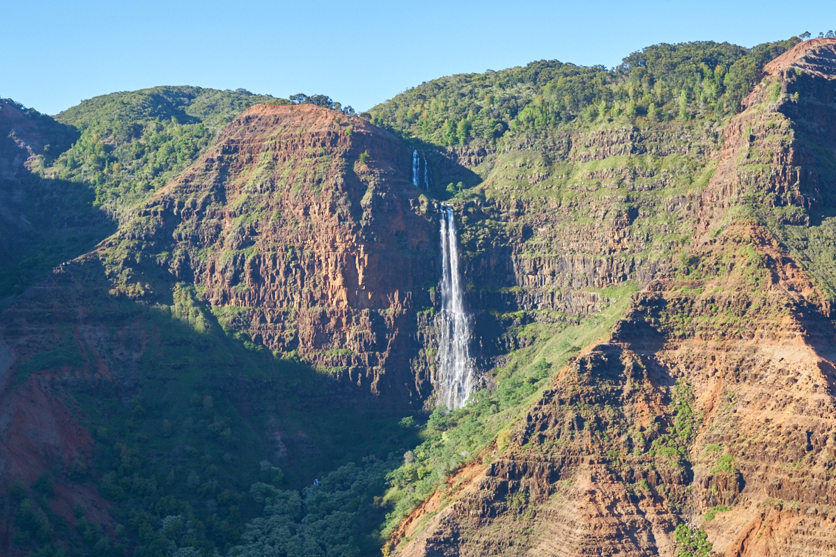
The
upper reaches of Kauai are some of the wettest on the planet and
produce large volumes of runoff every day.
Plenty
of flow and a huge drop.

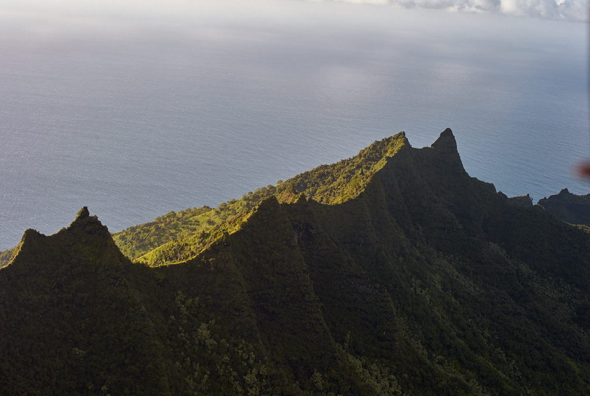
The
pilot flew into every interesting side canyon which was a bit
scary. The winds were quite strong and it was blowing us
around quite a bit.
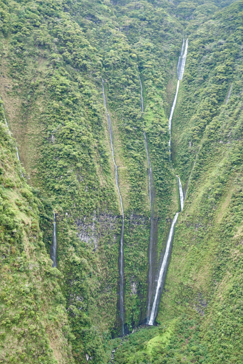
Again,
many courses converge into one.

A tight
canyon and super-steep.

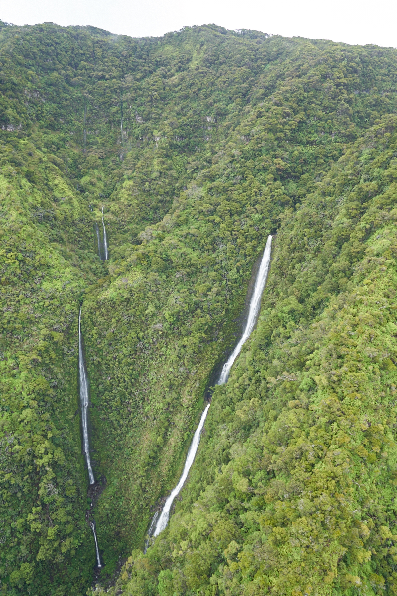
Many of
the falls came directly from the upper plateau to nearly sea
level.


| Previous Adventure | ||
| Trip Home Page |
Photos and Text Copyright Bill Caid 2016, all rights
reserved.
For your enjoyment only, not for commercial use.