We
continued our trip up the Quebrada de los Conchas toward Salta.
The photos below are what we saw.
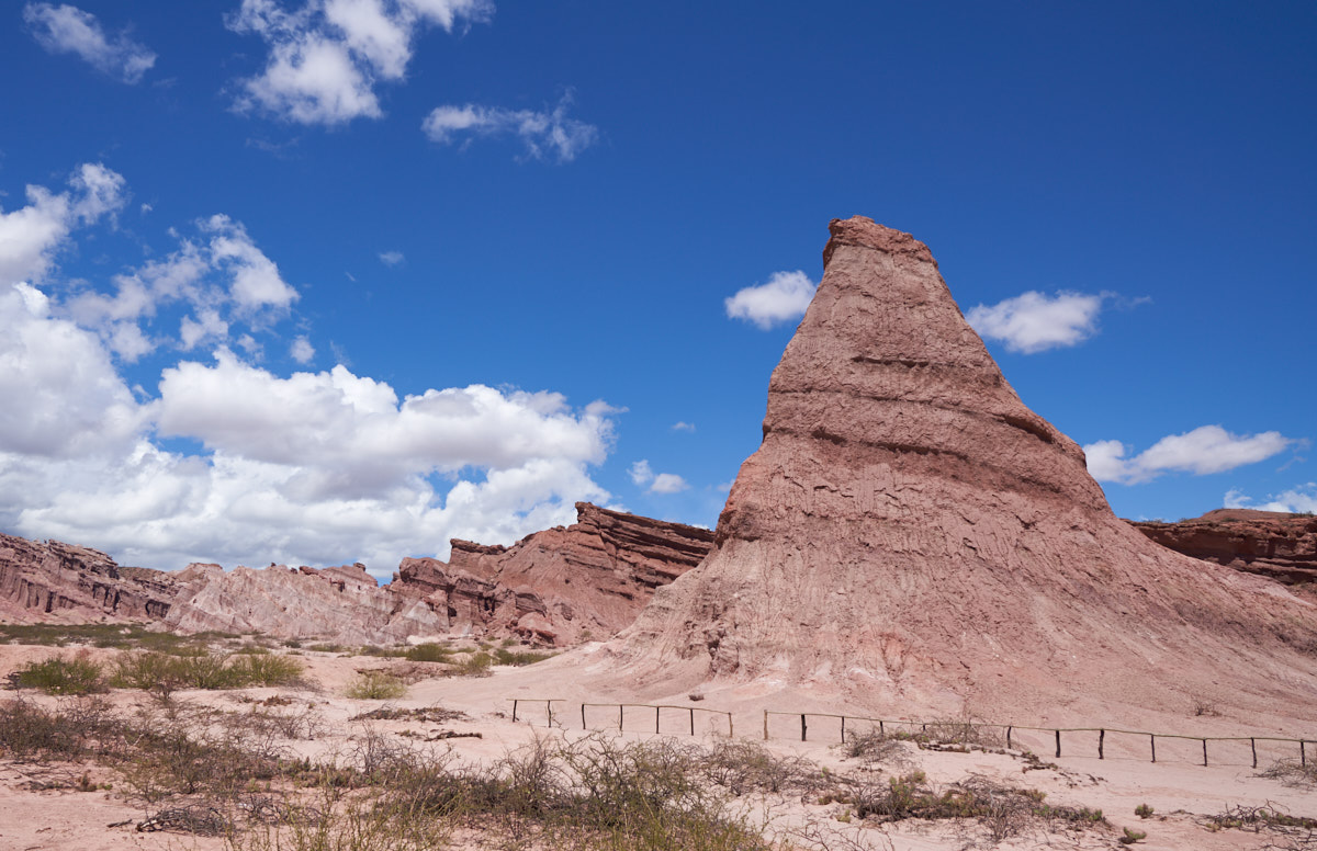
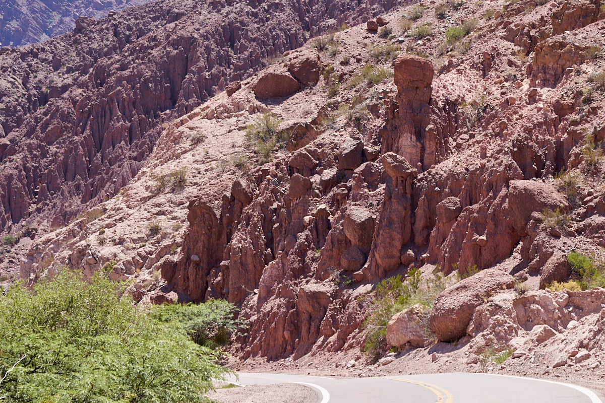
The
locals call this structure "El Obelisco". This is a
siltstone structure produced by erosion.
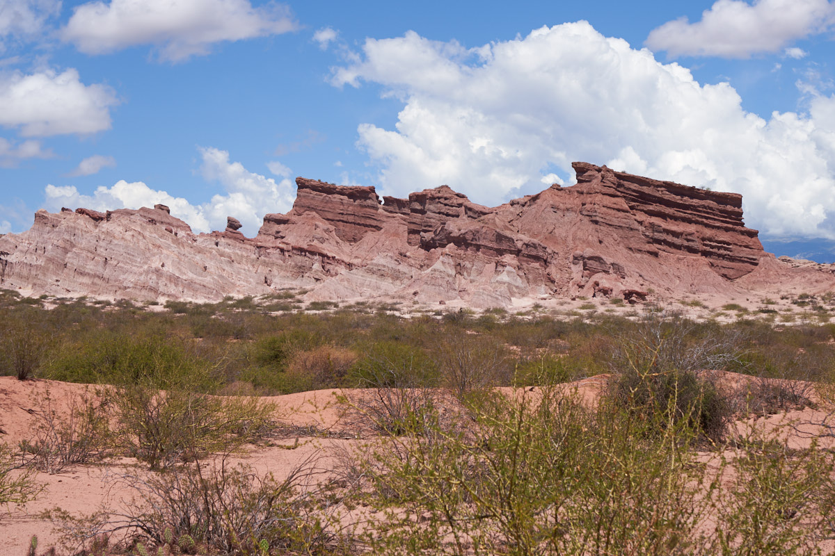
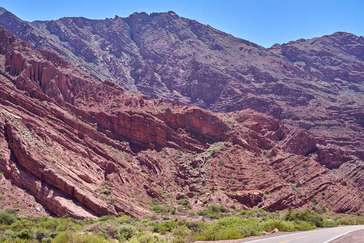
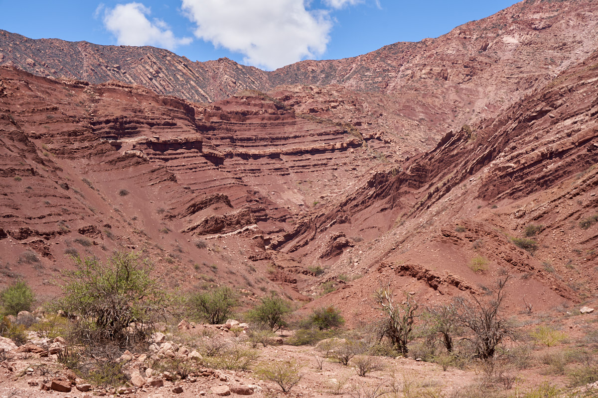
The
tilted strata produced interesting shapes when eroded.
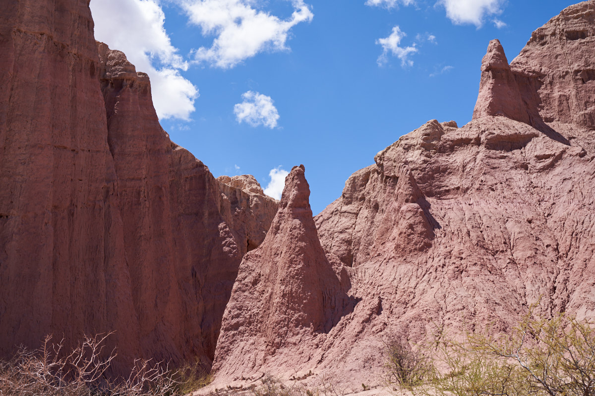
More
small hoodoos.
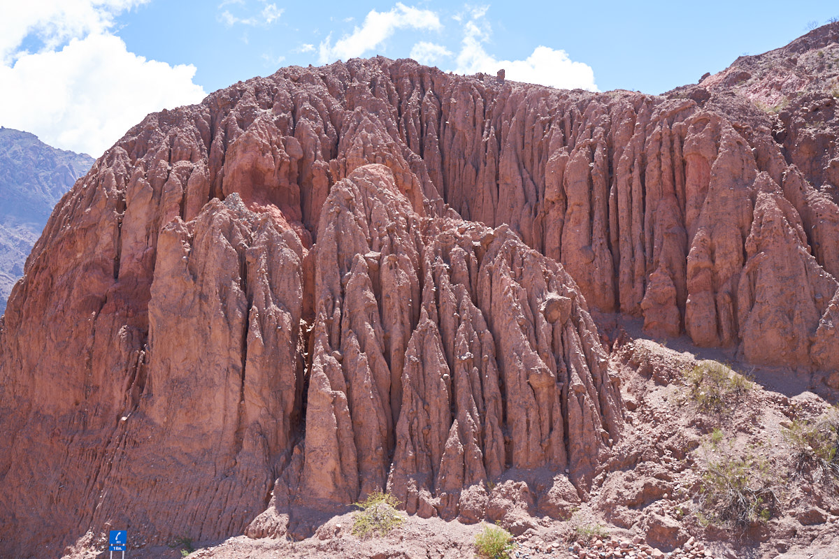
Mud
curtains that have evolved due to soft strata and intense rain.
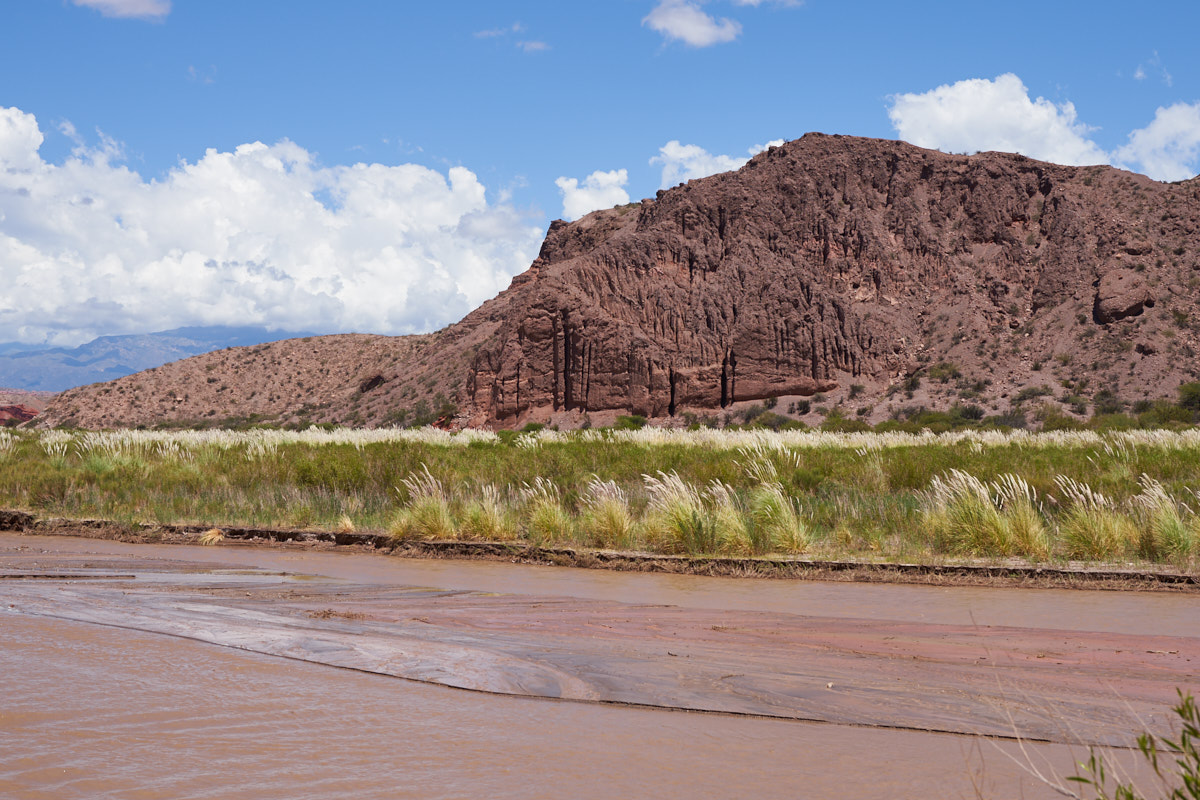
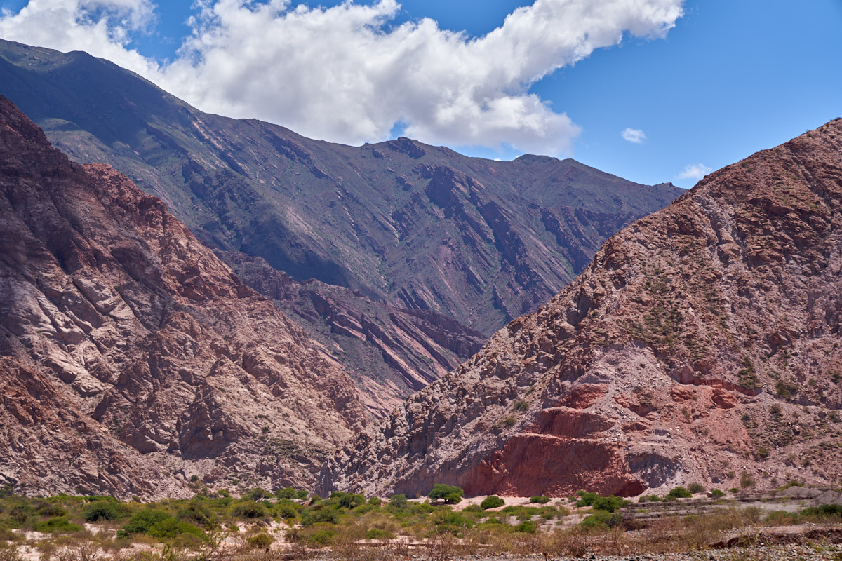
Looking
across Rio del Conchas to cliffs on the other side of the river.
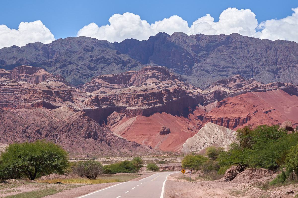
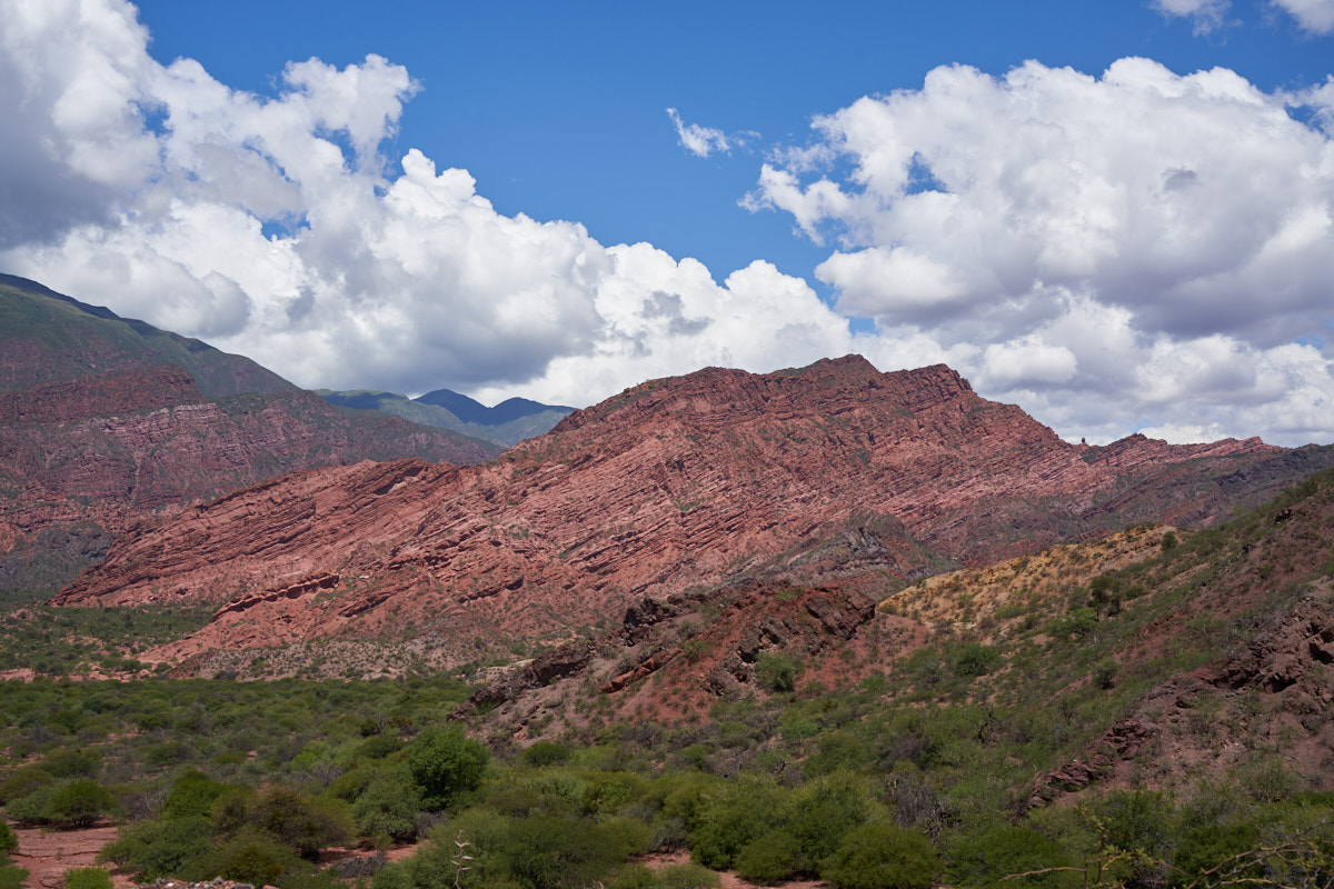
Rich red
cliffs were visible across the river.
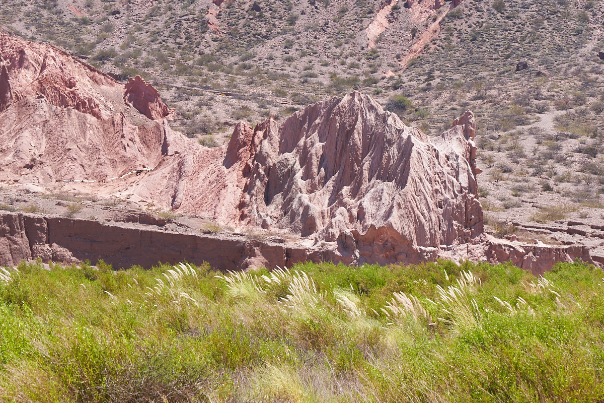
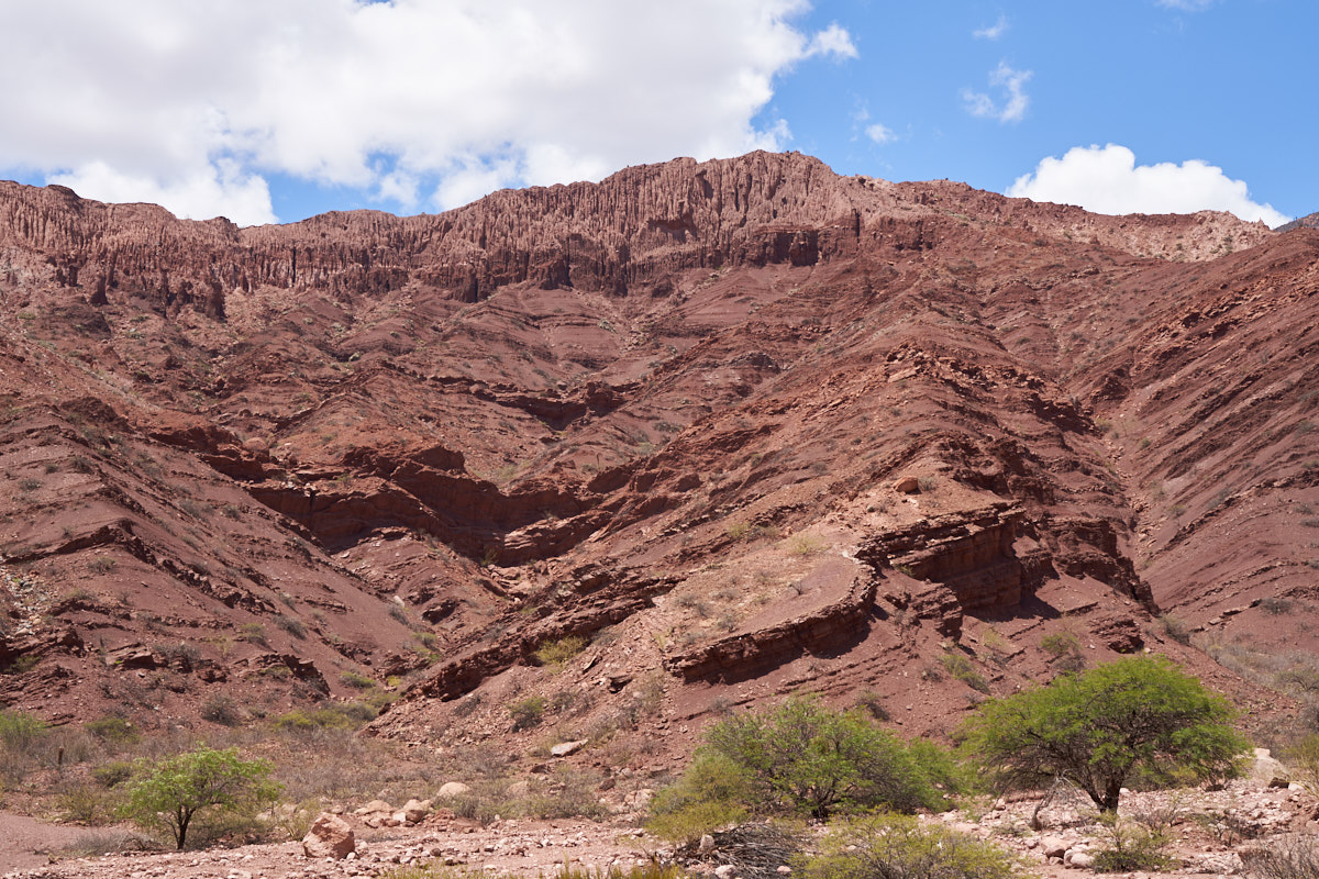
Complex
shapes evolve in soft mudstone.
Everywhere
the mudstone was exposed resulted in deep slots in the strata.
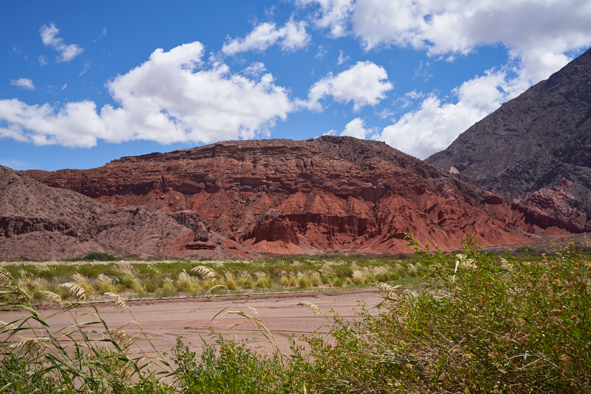
The deep
red rock reminded us of southern Utah and western Colorado.
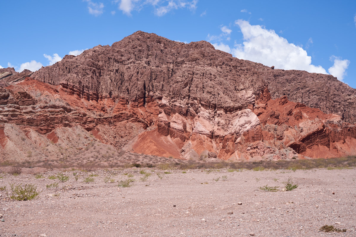
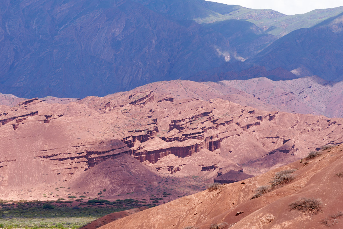
In some
areas, the sandstone was capped by harder rock resulting in more
complex shapes. Note the warping of the strata in the
center of the photo above.
Side
canyons opened up to yield beautiful panoramas.
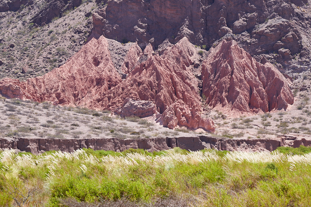
Beautiful
hoodoos carved from soft stone.
The
uplift that produced the Quebrada also exposed large slabs of
rock producing deep canyons between the layers of rock.
Mini-hoodoos
right next to the roadway. These also produce hazards due
to falling rocks.
Note the
warping in the bedding. The forces required to do this are
almost incomprehensible.
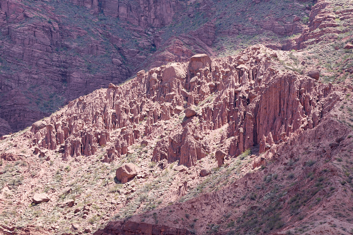
A whole
field of hoodoos.
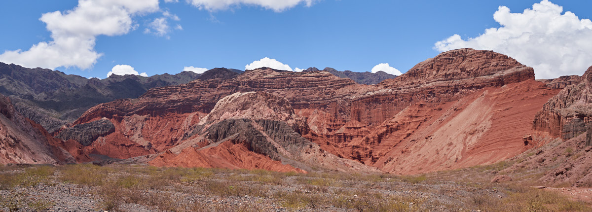
The
Quebrada area was crossed by faults resulting in deep canyons
and heavily distorted zones in the strata. At least three
different blocks of material are visible in the photo above.
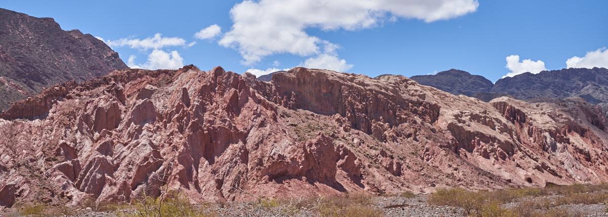
The
higher areas were softer material than the lower producing
curtains on the high cliffs.
An
isolated mountain.
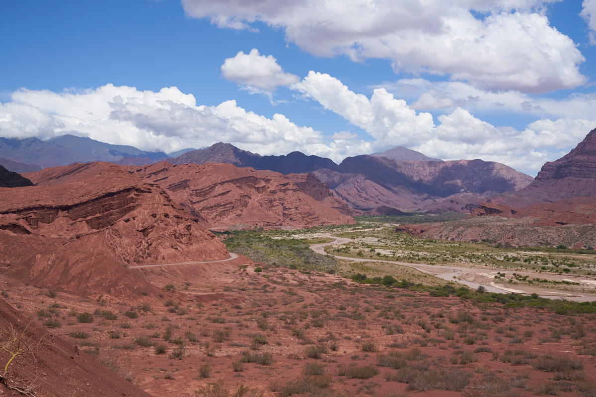
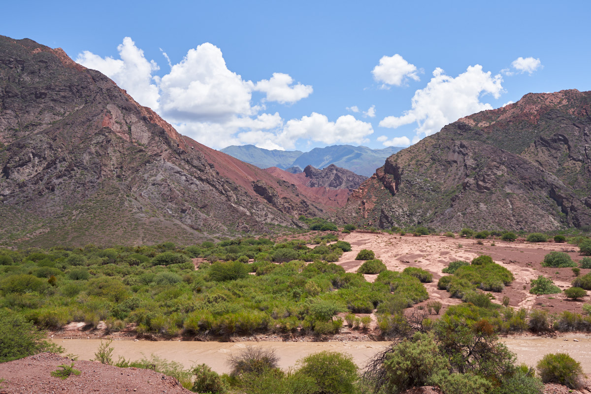
The
river valley was quite broad in this area of the Quebrada.
Steep
sections of cliffs were visible in some of the side canyons.
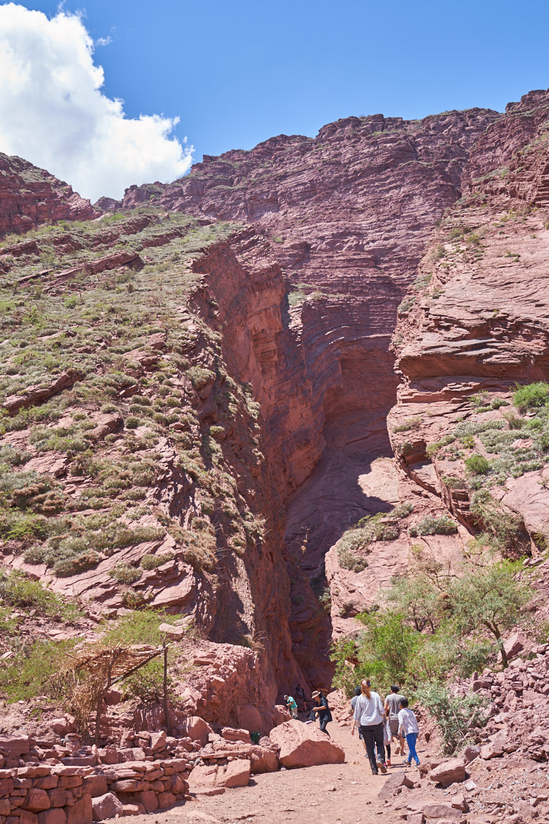
We
nearly missed this iconic feature called "Gargantua del Diablo"
(Throat of the Devil). This is a narrow side canyon
created by the erosive power of fast-moving water.
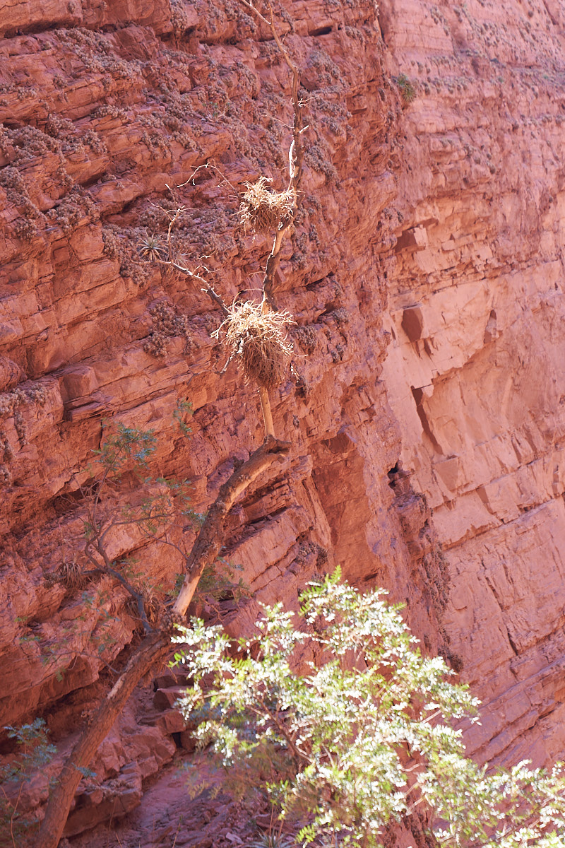
Even
after seeing it many times, I am still surprised by epiphytes
living in the desert. These epiphytes were spotted high up
on a dead tree trunk in the arid side canyon.
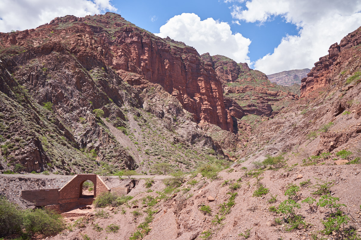
The
violent nature of running water has reshaped the road system
through the Quebrada multiple times. In many places we saw
evidence of the original road, a newer road and, of course, the
current road. The stone bridge in the photo above was the
newer road, but this section of road was isolated due to land
slides resulting in a change in the path of the road.

| Previous Adventure | ||
| Trip Home Page |
Photos and Text Copyright Bill Caid 2018, all rights
reserved.
For your enjoyment only, not for commercial use.