After our night at the Slickrock Campground, we loaded up and headed for Arches National Park and Dead Horse Point. The plan was to then head south toward the Abajo Mountains, but we soon saw the error of our ways. The photos below are what we saw.
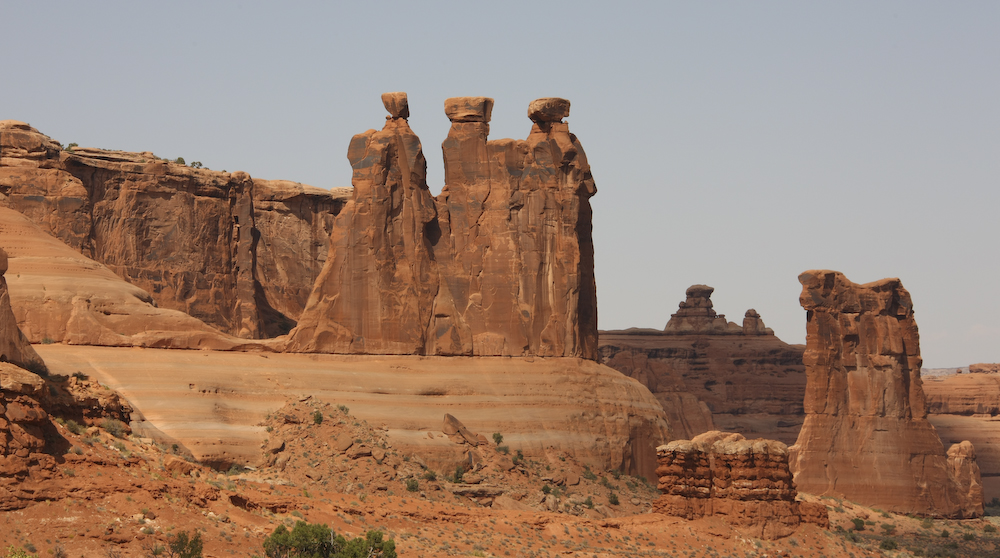
Moab in general, and Arches N.P. in particular, is known for its interesting rock formations. There is a formal name for this, but I called it "Manny, Moe and Jack" (the Pep Boys).
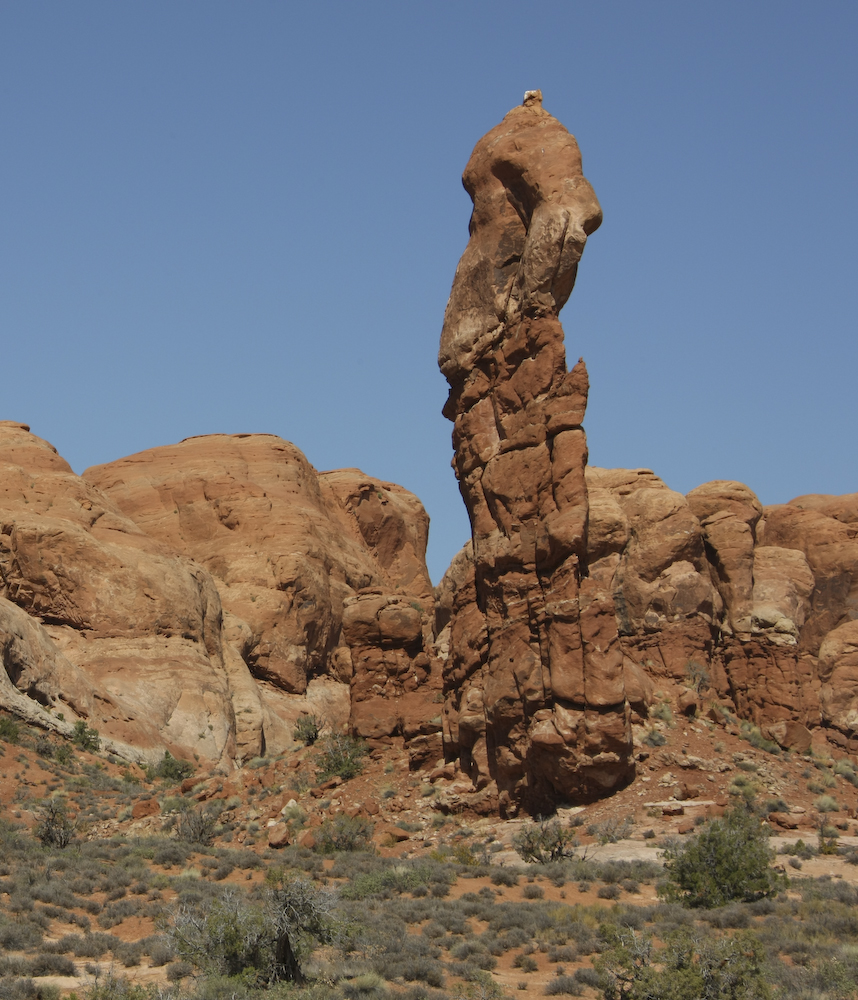
A nice spire right close to the road.
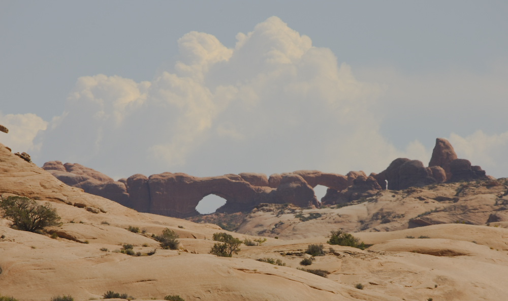
Twin arches were visible to the southeast of the road.
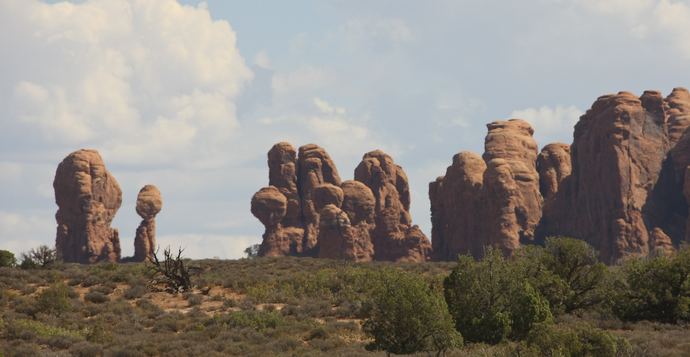
More nice balanced rock formations.
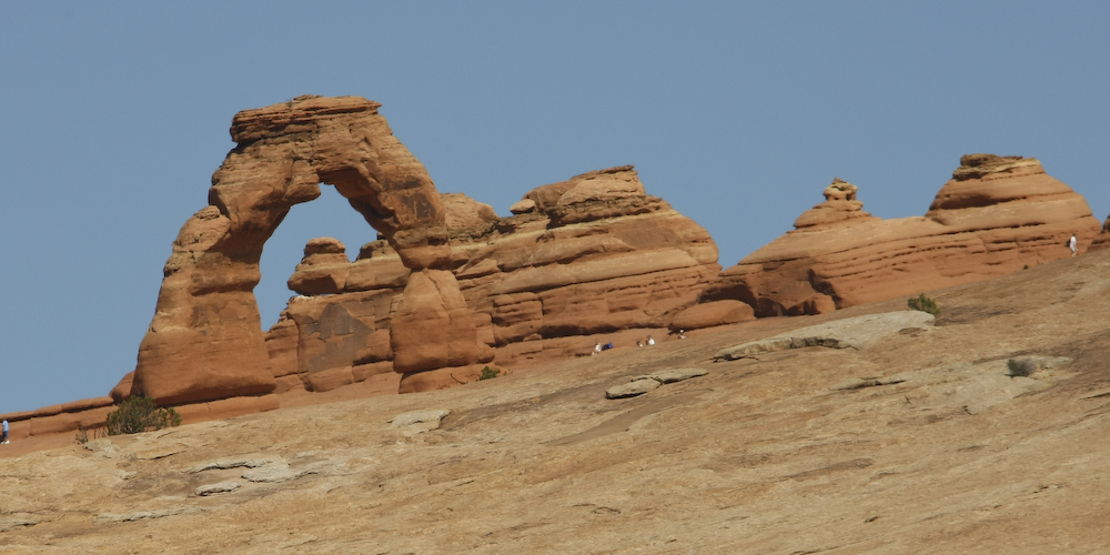
Our first view of "Delicate Arch". There was a substantial hike to get to the view point and we had neither the time nor will to do it, so we went to the easy viewpoint and used the telephoto lens.
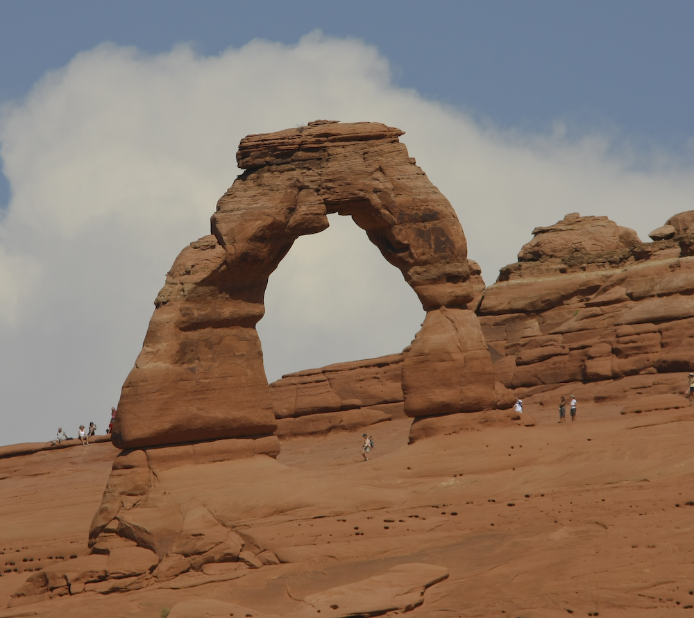
You can get a pretty respectable view of Delicate Arch from the wimpy overlook. This photo is a crop of a shot at 300mm. I am guessing that the effective focal length is about 1200mm.
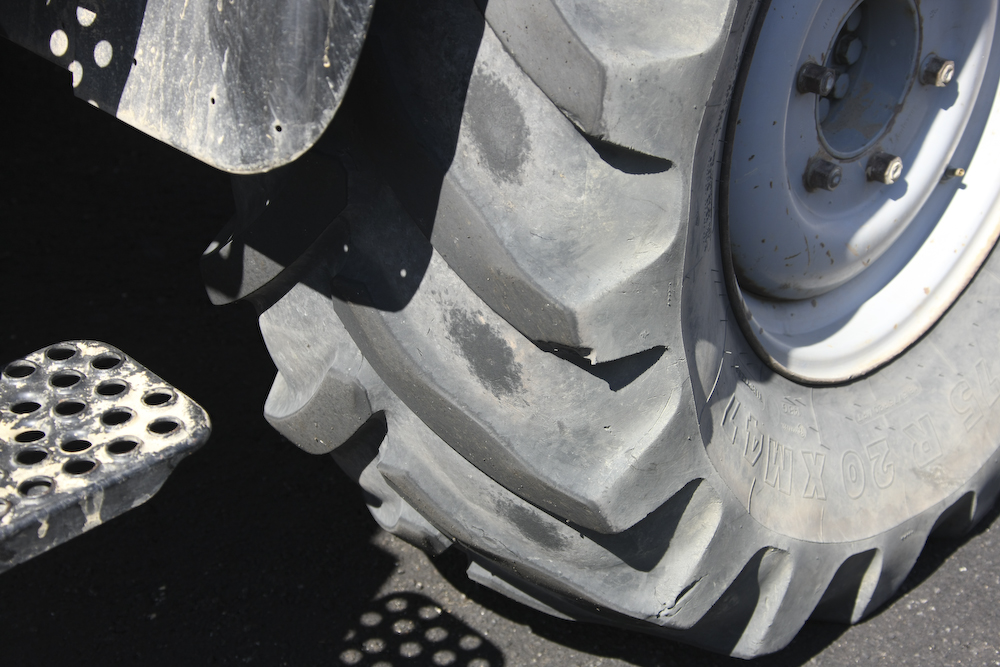
The newly paved parking lot pointed out to me that my front tire was worn to the point of being on the carcass. In the end, I switched the front left and right tires, but the damage was already done. I rotated the tires same-side front to back before the trip, but that was about 7,000 miles earlier. My bad. Rotate tires frequently, especially if it is on a 4x4. All four wheel drives with solid front axles "cup" tires.
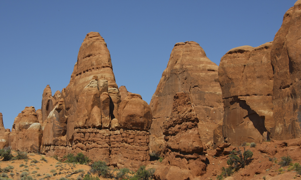
More nice formations near "Devil's Garden".
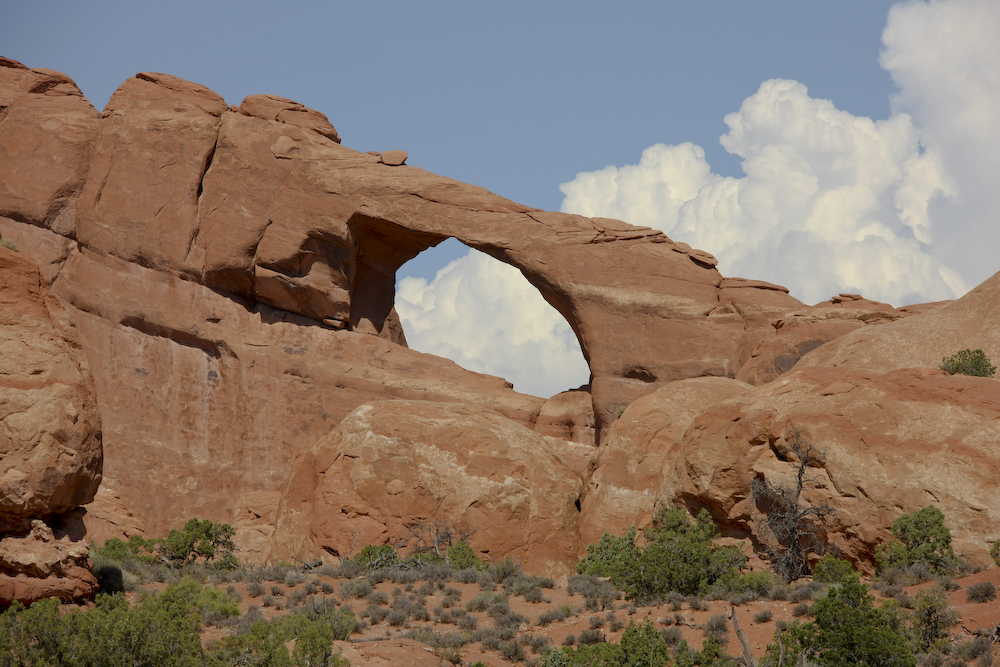
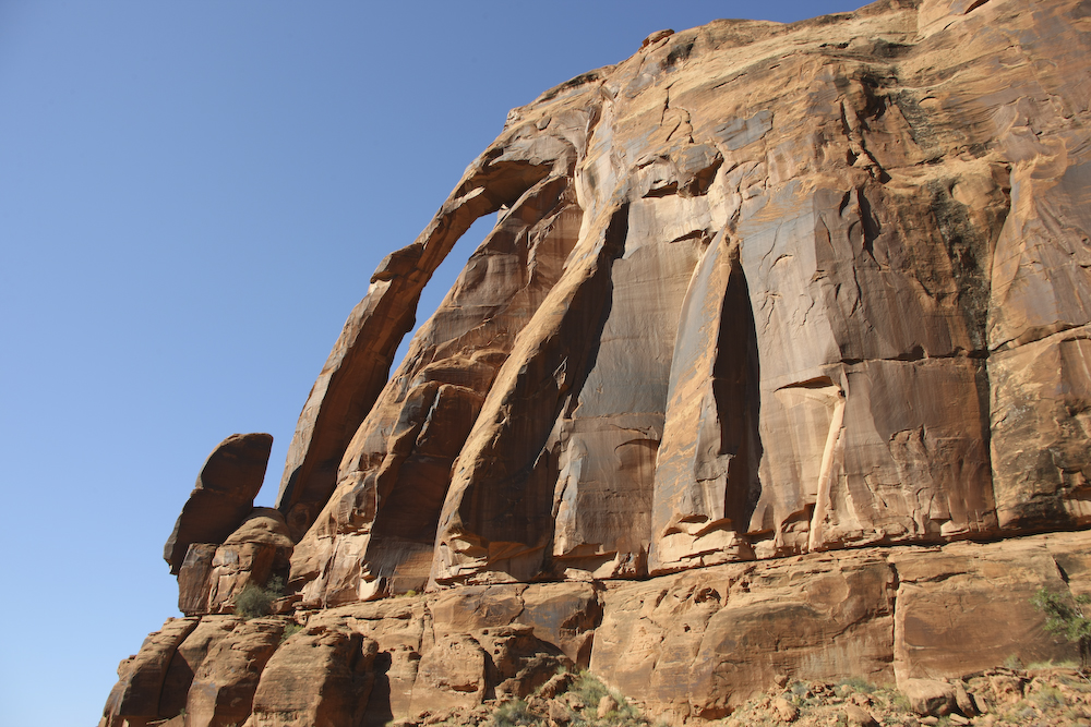
A fine view through one of the many arches visible from the highway.
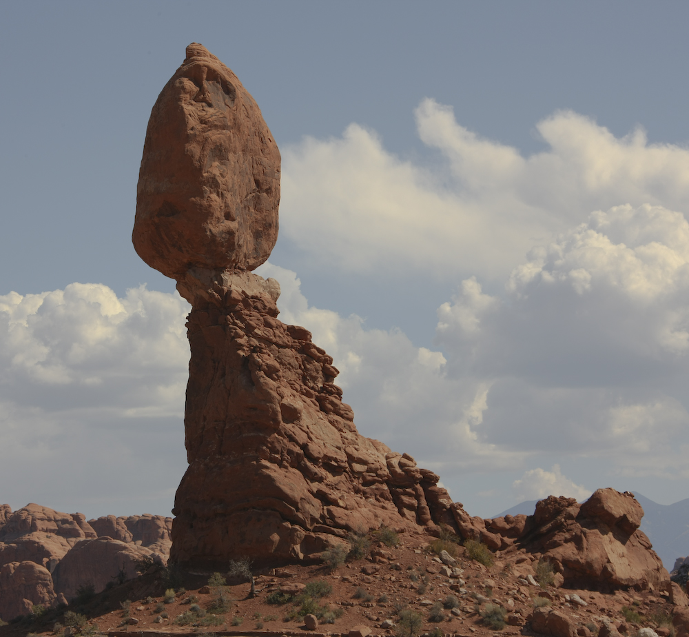
With the exception of the one formation we saw near the White River, this is the coolest balanced rock we saw.
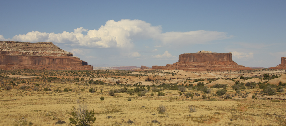
Once we were done at Arches, we headed north to see Dead Horse State Park and the Colorado River Overlook. Along the way, we spotted these nice mesas.
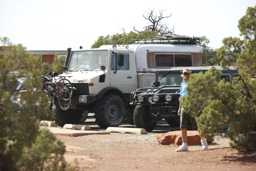
I had to choose a place to park and since there was a hummer there, the only reasonable place to park is right next to him. I know he saw the mog because the hummer was gone when we returned.
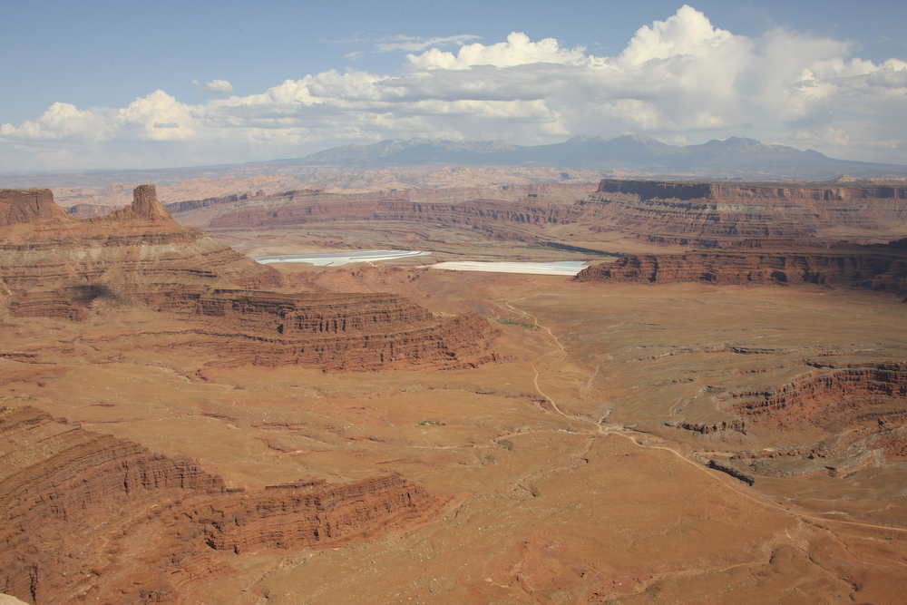
The view to the east from Dead Horse Point is breathtaking. Above, both the canyons and the La Salle mountains are visible. The white areas are the settling ponds for the potash mine on the north side of the Colorado River.
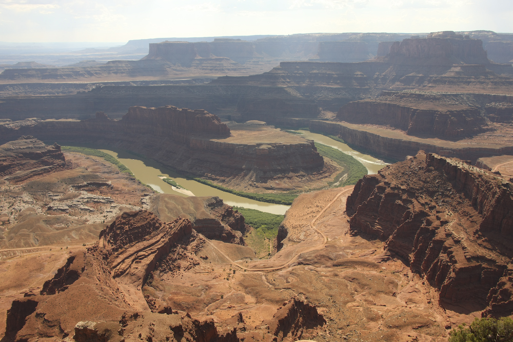
One of the great loops of the Colorado is visible from the point. Also note the dirt road which is the Shafer/White Rim trail.
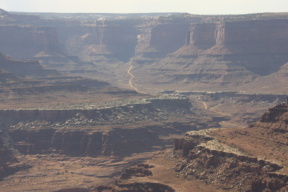
Shafer Trail is visible on the distant cliff.
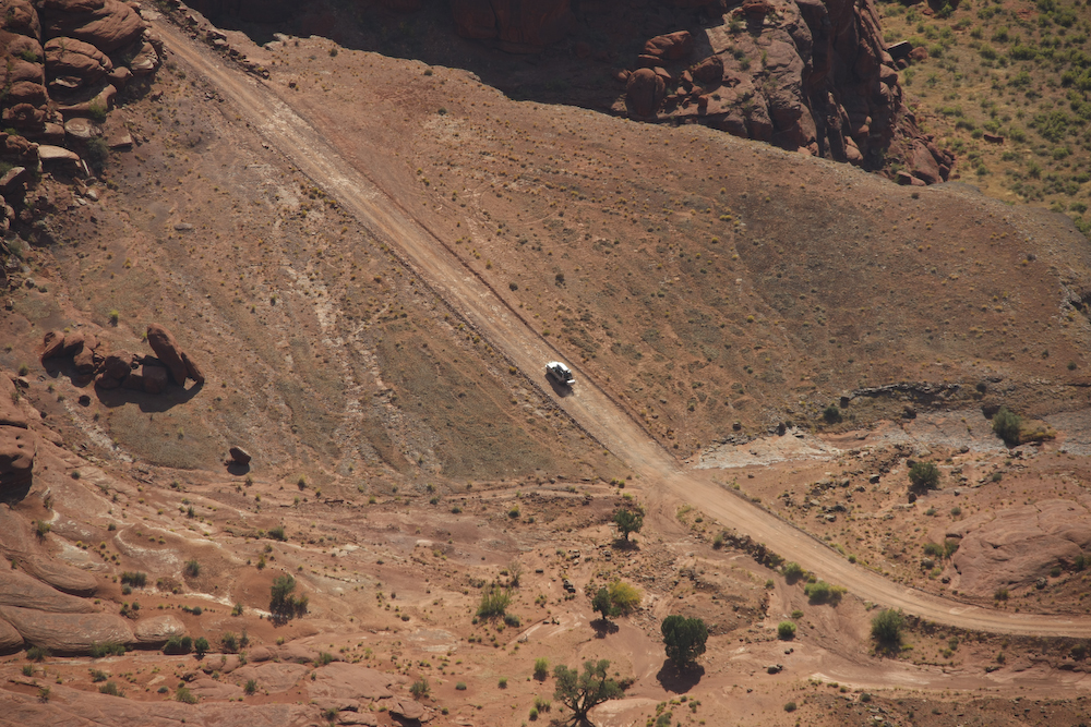
Any cars on the trail were clearly visible.
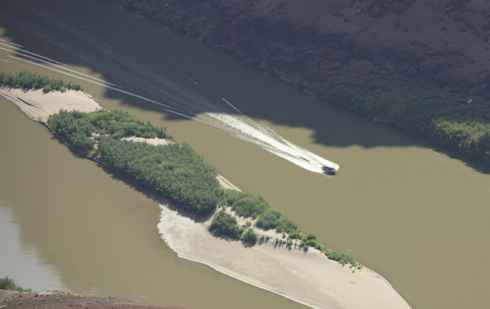
A tour boat from Moab was also visible on the river.
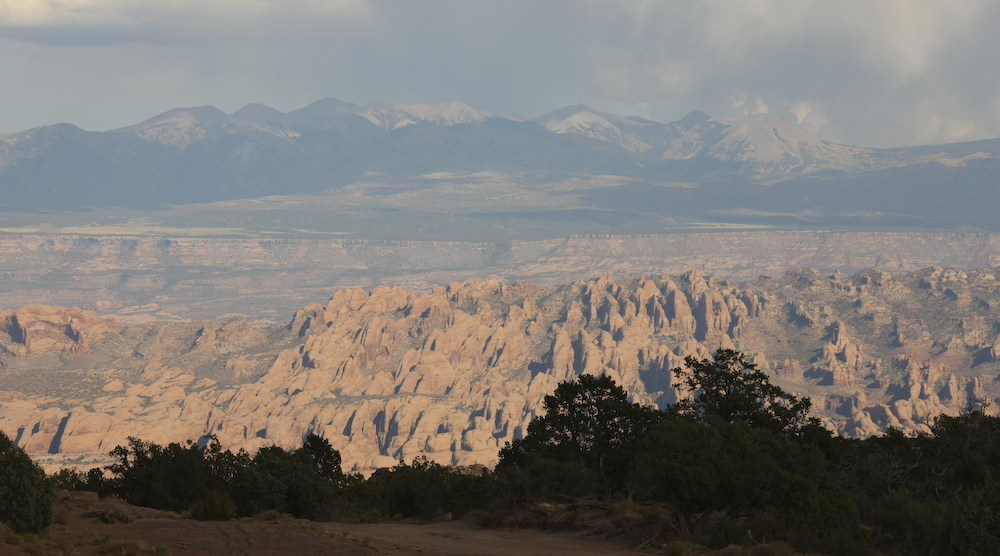
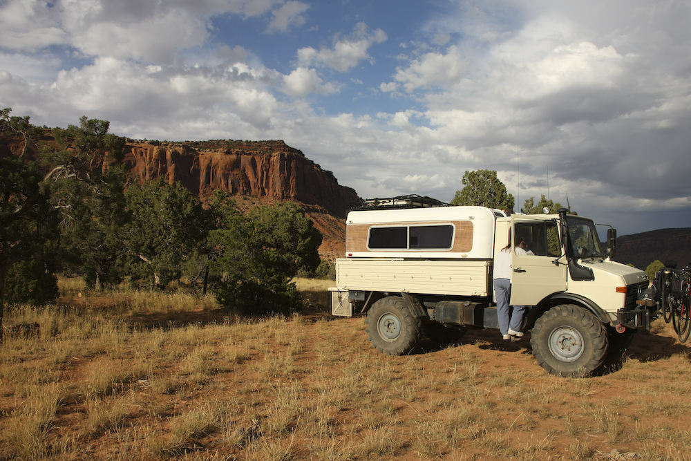
From Dead Horse Point, we decided to return to Moab via Long Canyon/Pucker Pass. Along the way, we spotted a nice camp site, so we called it an early day and decided not to go south until the following day. This was a good decision as it allowed me to rotate the tires and get some chill time. The view from the camp site was off the chart, as the photo above shows. The structures in the foreground are "the fins" with the La Salle mountains in the distance.
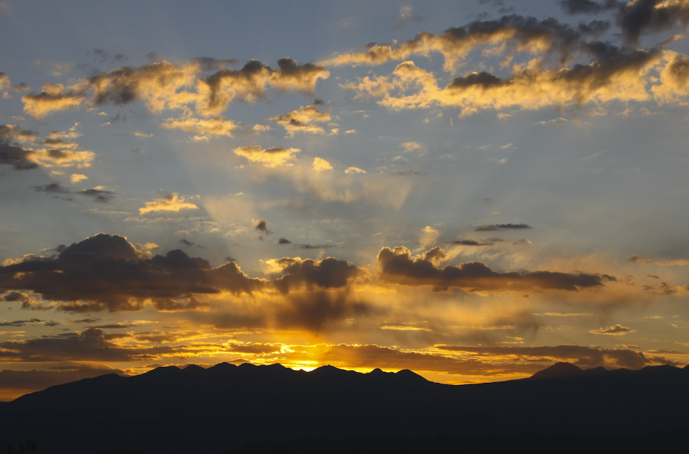
Morning brought a reasonable sunrise over the La Salle mountains. I managed to roll out early enough to get the shot above.
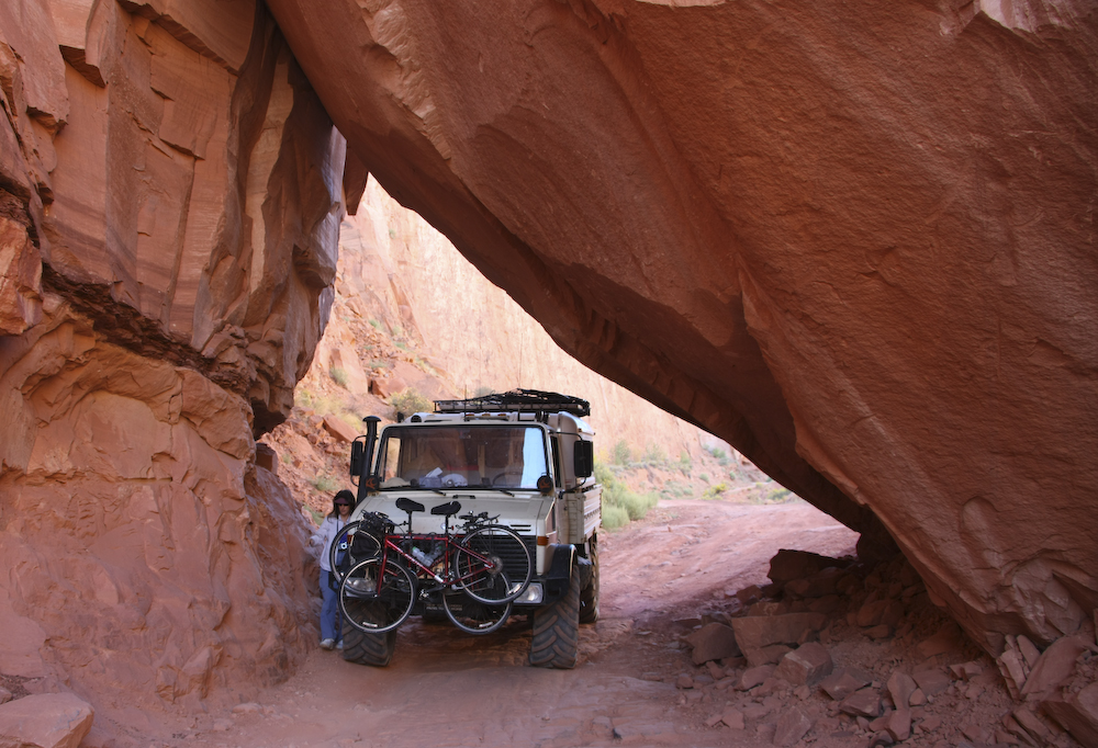
We returned to Moab down Long Canyon underneath this rock structure called Pucker Pass. I think this is much lower than the last time we were here. I had Kathleen spot me, but we easily cleared the overhang. Hopefully, that will be true next time I come.
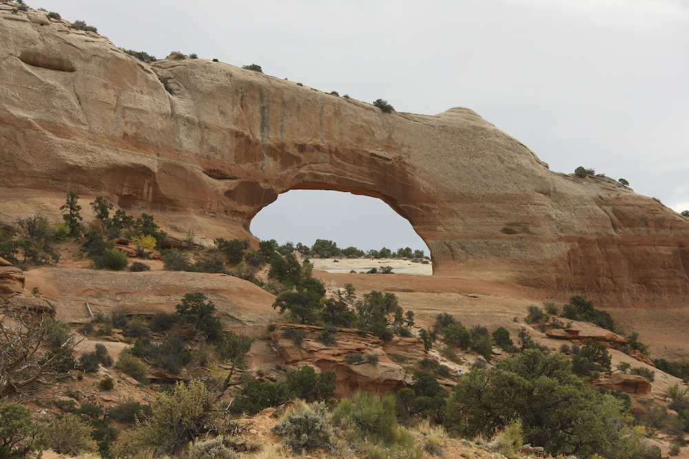
Jug Handle arch at the mouth of Long Canyon.
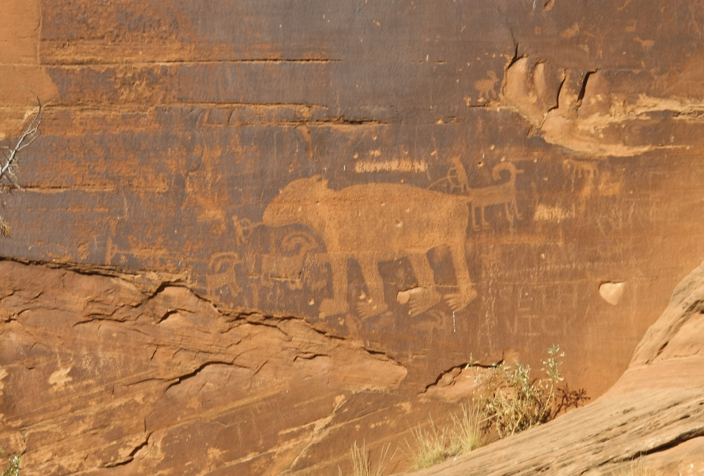
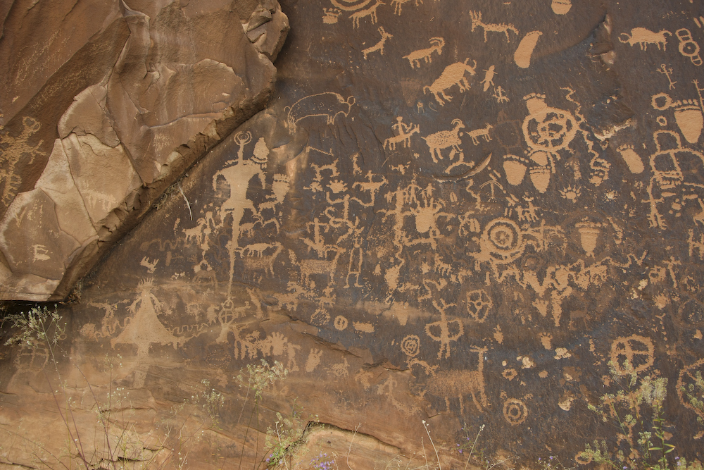
Along Potash Road, we stopped to see some of the petroglyphs near the road.
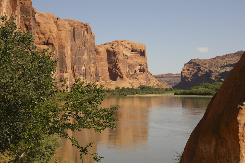
The view of the river from the petroglyph site was unobstructed.
This set of figures was quite well preserved, mainly because they were too high to deface.
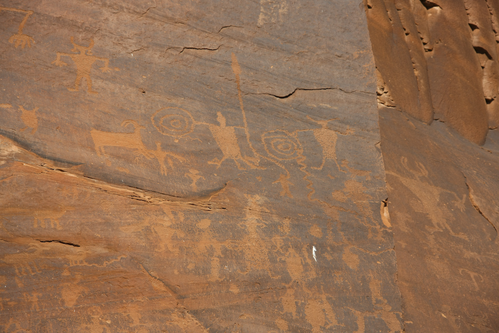
Note the interesting fellow on the far right.
The road leading south from Moab runs right past this nice arch.
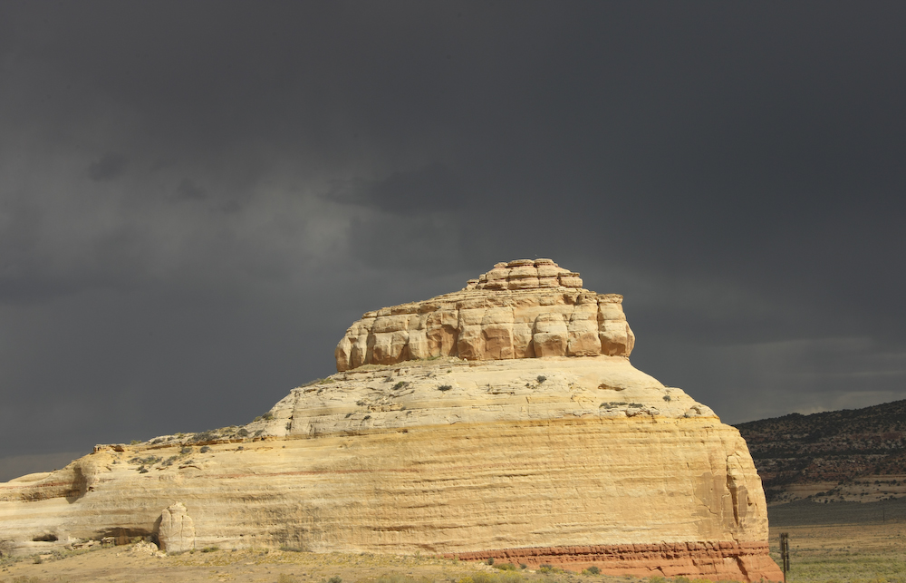
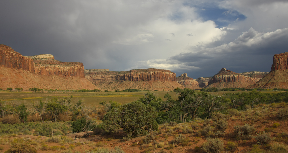
We took the turnoff toward Canyonlands N.P. and we could see that weather was building in the east. It had already rained on us a few miles up the road and several of the washes we passed were running strong. Time to move out!
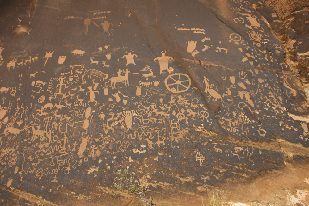
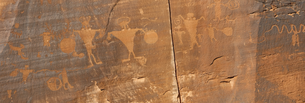
We stopped at Newspaper Rock which is right next to the road. This site has some of the best petroglyphs in the entire nation. Find your favorite icon!
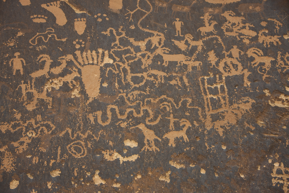
Whatever you want, it is here: sheep, birds, snakes, shamanistic symbols, etc.
Buffalo, lizards, sheep, deer and beaver are depicted here.
We stopped at the Canyonlands visitor center to get a backcountry permit, but were told that the mog was too wide to fit through the squeeze on the trail to Elephant Hill. So, we replanned and decided to head south using an alternate route. To the east, the clouds were still building.
We actually crossed another wash that had just flashed. We saw the wave of water coming and charged across since we could see the bottom of the wash. We just made it! Many miles in, as the sun was preparing to set, we came across this nice meadow close to the road, so we decided to camp here.
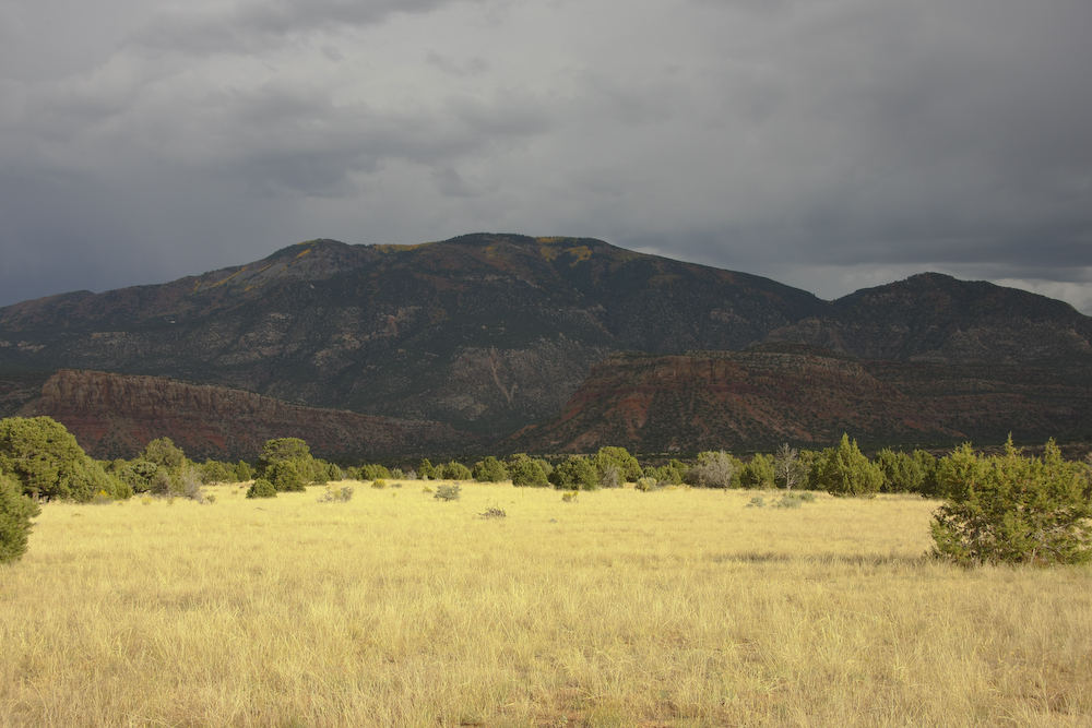
It was an acceptable camp site. The rain soon overtook us and it blew pretty hard all night. There was thunder and lightning visible over the Abajo range to the south of our position.
We made camp just off the side of the road. Weather was coming and I wanted to insure that we had time to fully setup before it hit. We met that goal, but it was windy and cold. There was just enough rain to make it a nuisance. Tomorrow, we would pack up and head into Beef Basin and Ruin Park.
| Previous Adventure | ||
Photos and Text Copyright Bill Caid 2008, all rights reserved.
For your enjoyment only, not for commercial use.