We spent a cool night in the highlands north of the peaks in the Abajo range. In the morning, we broke camp and headed for Beef Basin. The road was in pretty good shape, but we reduced air pressure anyway to help smooth the ride. The photos below are what we saw.
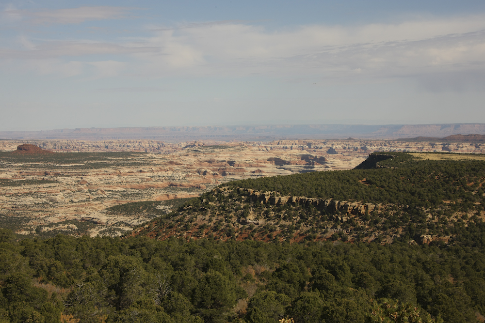
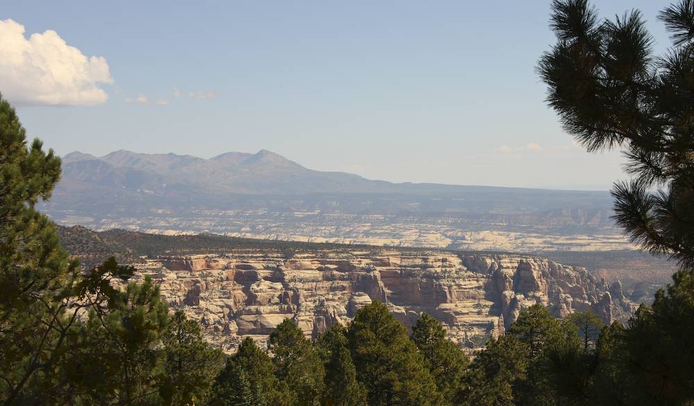
As we headed north into Beef Basin and Ruin Park, we got a nice view of the surrounding terrain from the pass on the road. The area visible above is quite remote and hard to reach by any means.
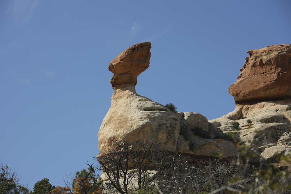
This standing rock formation was right next to the trail.
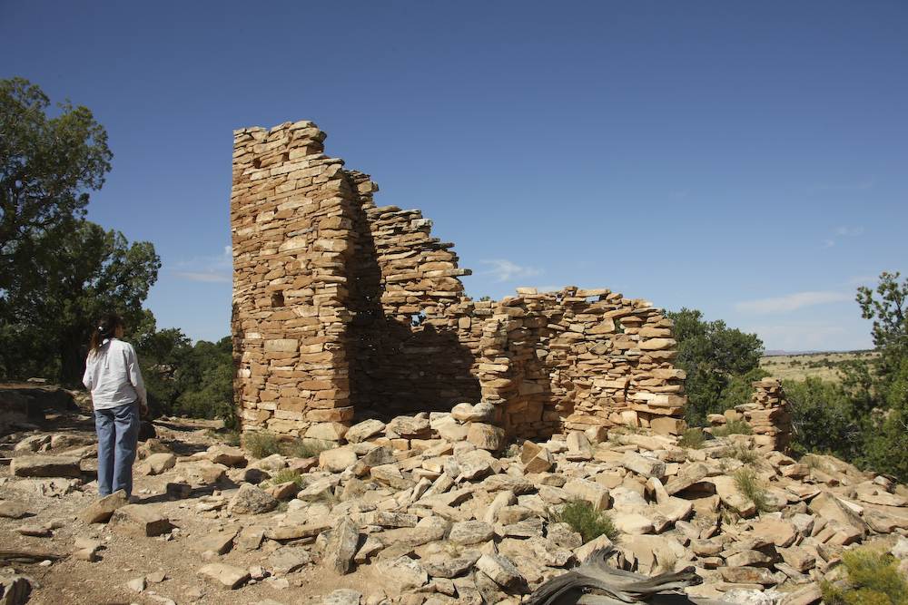
The first ruin we encountered was pretty substantial. Above, Kathleen checks out the remains.
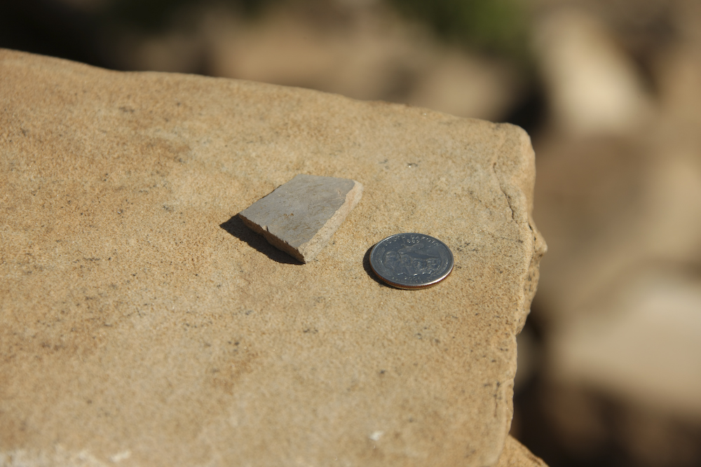
I found a pottery shard and placed it on one of the rocks using a quarter as a size reference. When I was a kid in Tucson, we found many of these out in the desert, so this was not all that interesting.
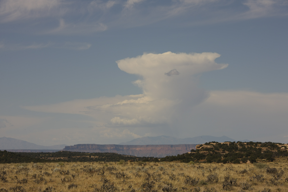
Thunderheads boil over the Henry Mountains to the west of our position.
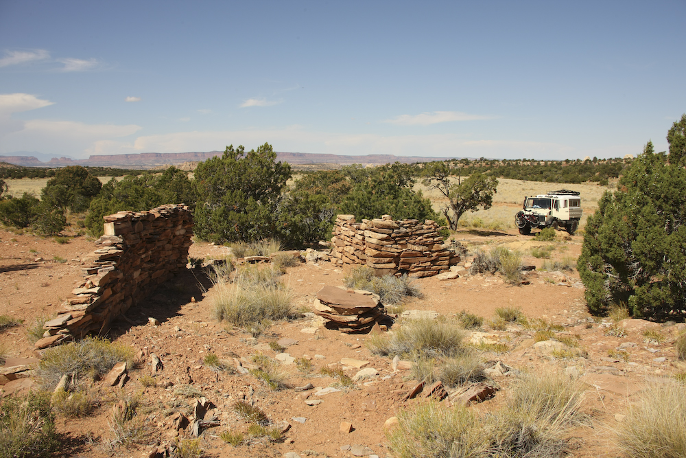
One of the other ruins that we came upon was less well preserved.
We followed the trail to a place called "Bobby's Hole" which is a steep downgrade into the canyon. Kathleen declared that she was "done for the day", so we set up camp early. We had a nice view from our camp site and the weather was warm (at least during the daylight hours).
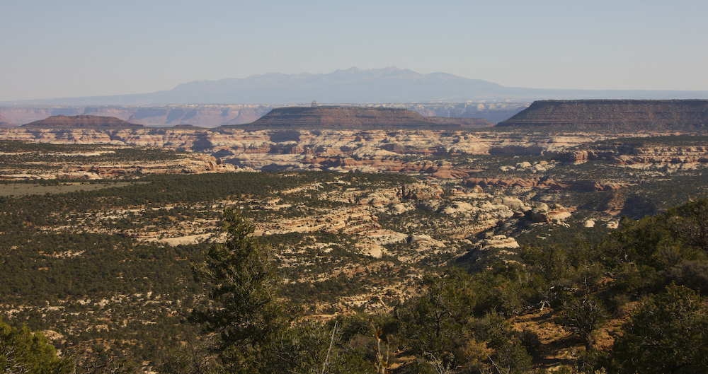
Next morning, we headed south out of Beef Basin into the highlands of the Abajo Mountains. From the pass, we had a clear view of the 12,000 peaks of the La Salle range to the east of Moab.
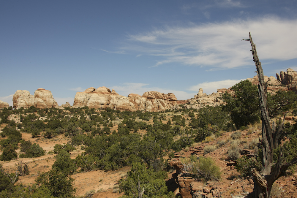
Further up the mountain, we passed these structures at the mouth of Dark Canyon.
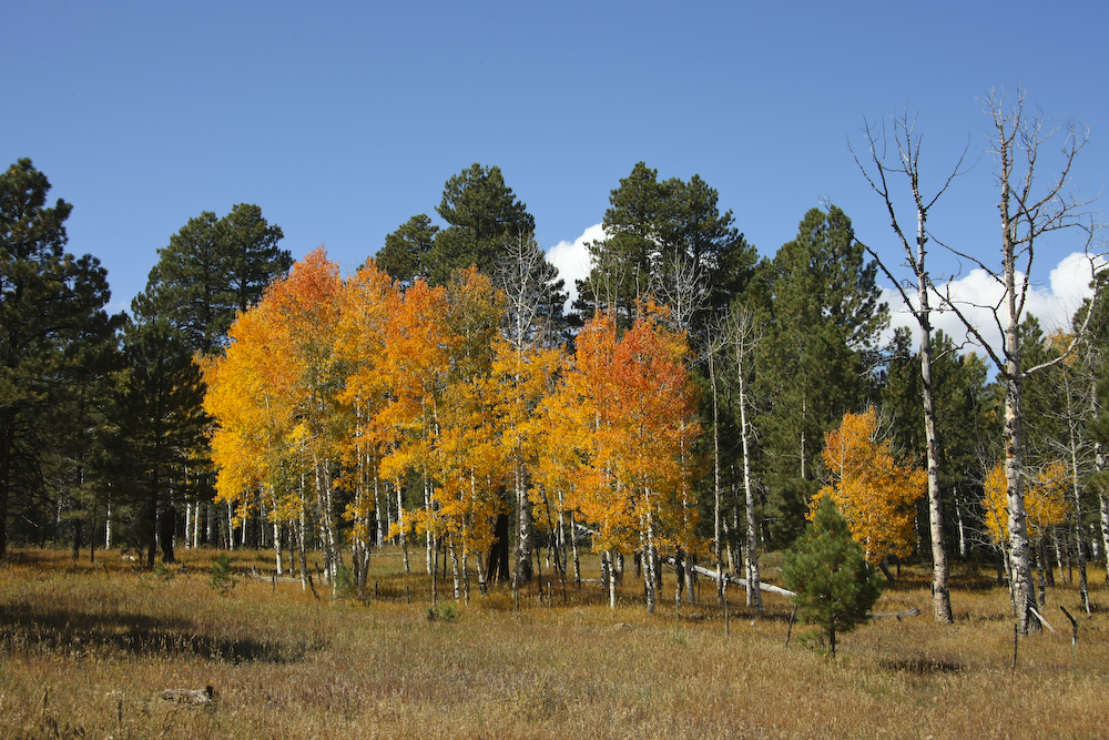
Up in the Abajos, the trees were starting to turn their fall colors.
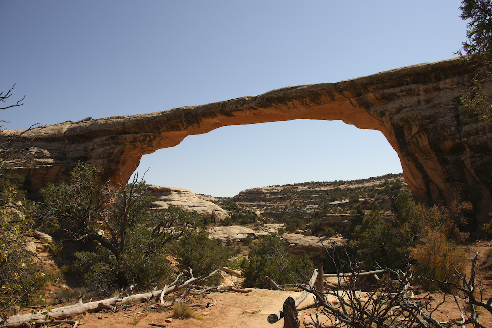
On the south side of the Abajo range, the trail empties into Natural Bridges N.M. Sadly, they were doing road repair and only one bridge could be visited. And, we had a long wait for the pilot car on both ends of the trip. But no matter, the view was good but it was quite hot. Above is Owachomo Bridge.
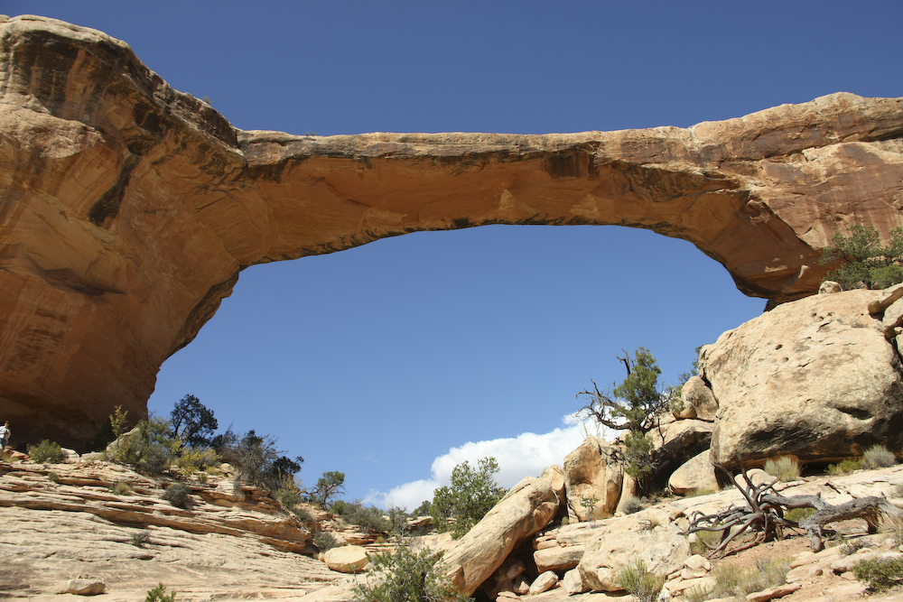
Another view of Owachomo from the sun side. Kathleen can be seen at the far left of the photo on the ledge. This bridge is big, so she will provide a sense of scale for the photo.
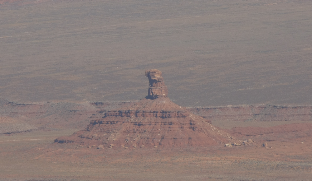
From Natural Bridges, we continued south to the Moki Dugway dirt road that descends the cliff face. From the cliff, we had a good view of some of the structures in the Valley of the Gods park to the east. Above is one of these structures.
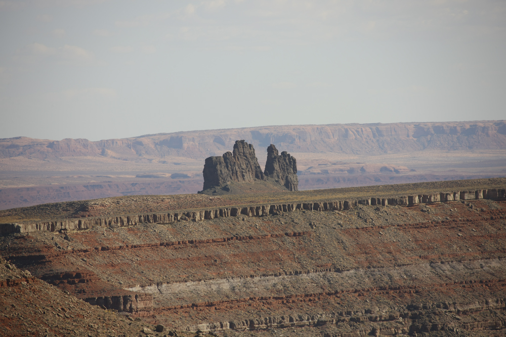
We continued south to the Goosenecks of the San Juan River park. The park is nothing (unless you count the pit toilet) but a parking lot on the edge of the cliff. The view was awesome, and better than I could have imagined. To the south, a large volcanic plug was visible.
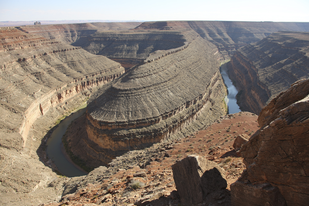
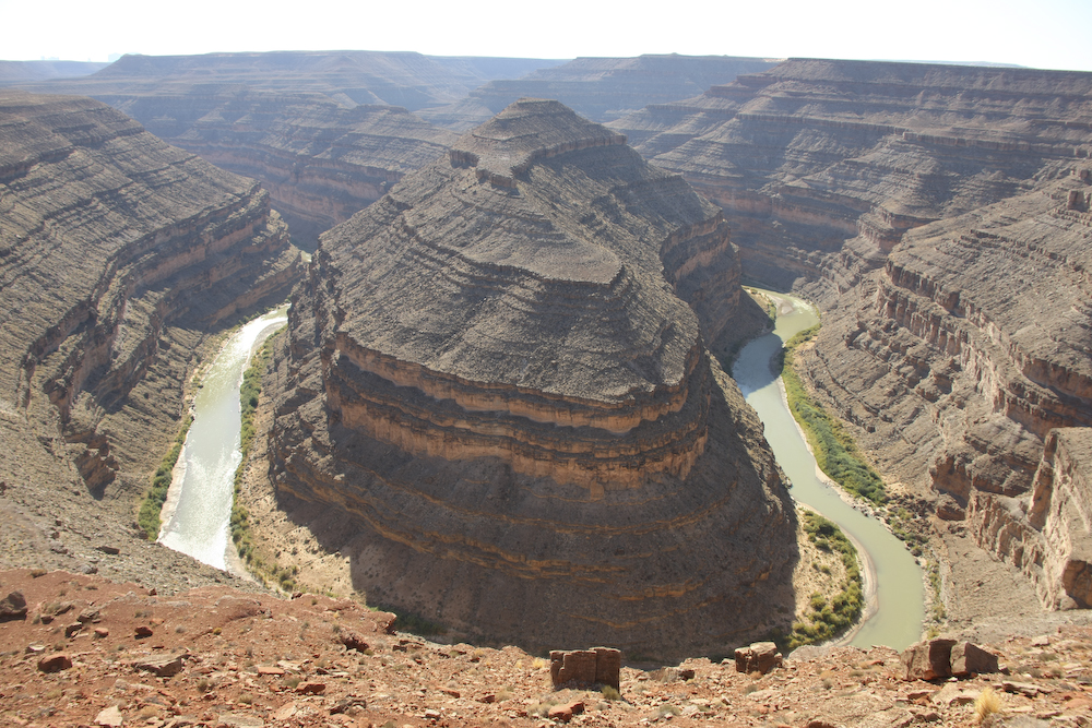
The first of several goosenecks in the San Juan River. I believe the formal name is "entrenched meanders" where the original oxbow in the river's path was preserved as the land rose around it and the river continued to eat into the rock. Quite remarkable actually.
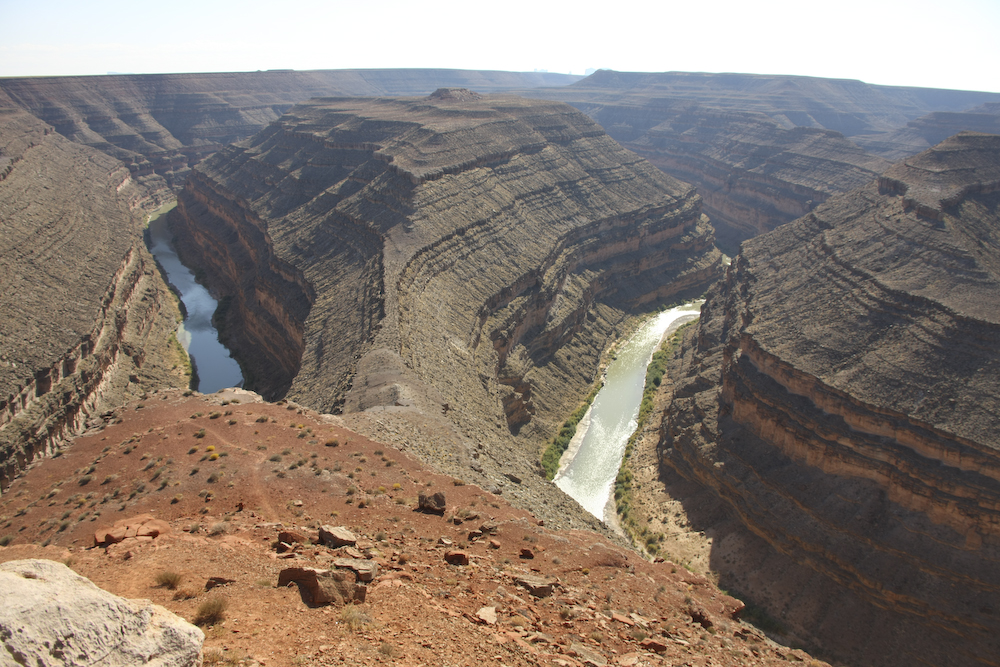
Another gooseneck.
The last set that were visible from the overlook.
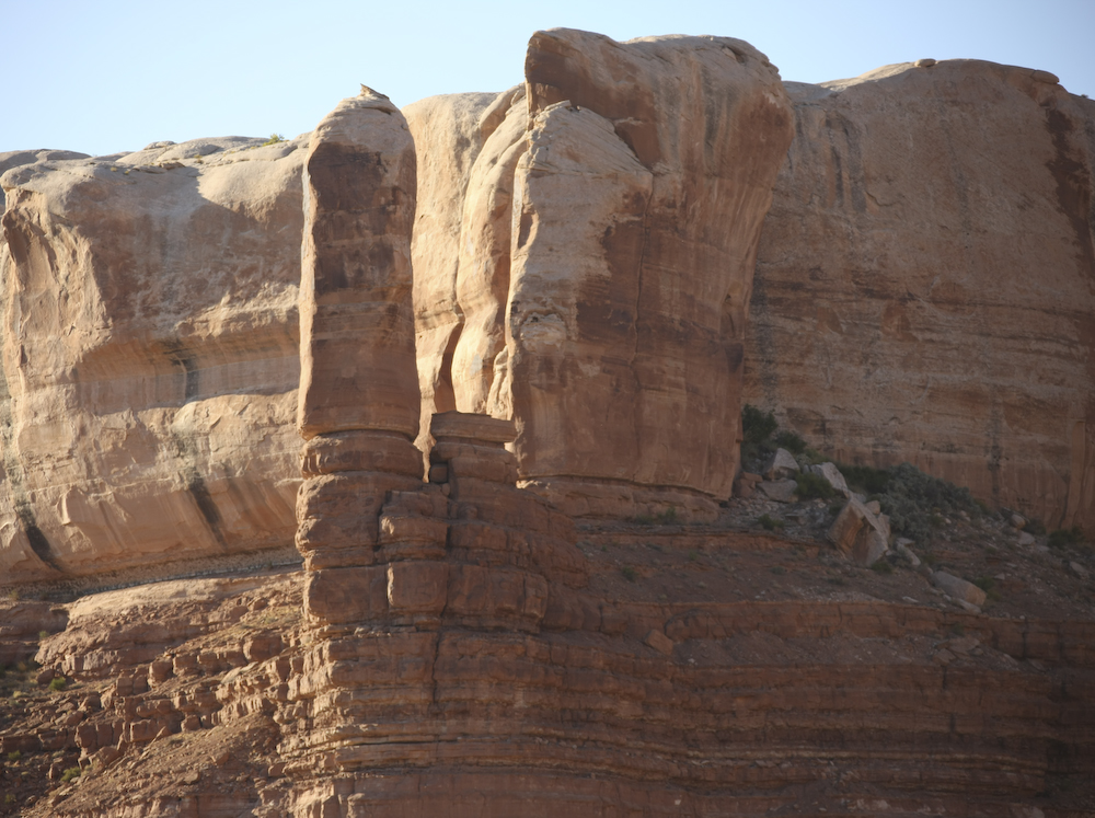
From Goosenecks, we headed southeast to Bluff, UT to find a place to stay for the night. Next to the (only) restaurant we spotted this interesting formation.
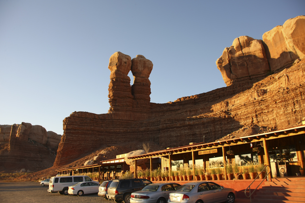
The structure in the previous photo is visible at the left of the frame above. This was the local diner and the food was acceptable. Plus, it was the only place for 20 miles so we took what we could get. I believe that this formation is called "Twin Rocks". Quite a creative name, I must say.
When we rolled into Bluff, UT we were bouncing on empty. I went to the only place in town that sold, or at least supposedly sold, diesel and they were out. Happily, I still had 20 gallons in cans which got us to a fuel stop in Rock Point. There is not much in Bluff. We stayed at the Cadillac Ranch RV park and it was reasonably nice -- they even had WiFi. Glacially slow, but we did get email. Tomorrow, we would continue south to Canyon de Chelly.
| Previous Adventure | ||
Photos and Text Copyright Bill Caid 2008, all rights reserved.
For your enjoyment only, not for commercial use.