The
group camped at Hunter Mountain and the night was cold. Next
morning, we broke camp and headed toward Saline Valley. When
we reached South Pass, Roberto and Mark split off and headed back
to San Diego. Matt and Nancy joined us on a spine-grinding
crawl down the South Pass grade to the hot springs in Saline
Valley. To say the road was "bad" would be correct, but
somewhat of an understatement. While not the absolute worst
washboard road we have traveled (that honor goes to the
Puertecitos-Gonzaga Bay road in Baja), it surely was a close
second. Our top speed was somewhere around 15 mph and that
was uncomfortable.
The photos below are what we saw.
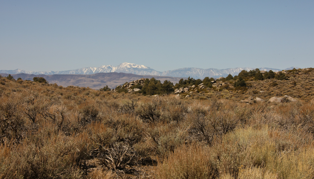
From
the crest of Hunter Mountain, we could see the snow-covered peaks
of the Inyo Range to the west.
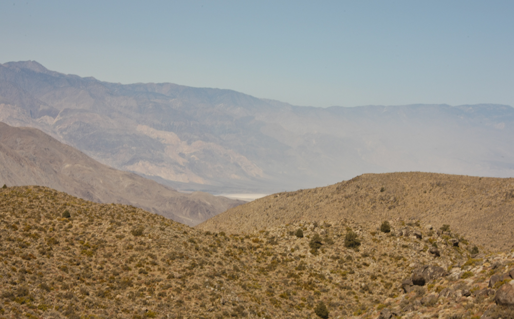
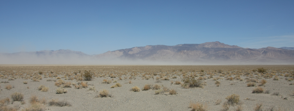
Our
first view of Saline Valley from the high ground near South
Pass. See that haze in the air? That is wind-whipped
dust from the dry lake.
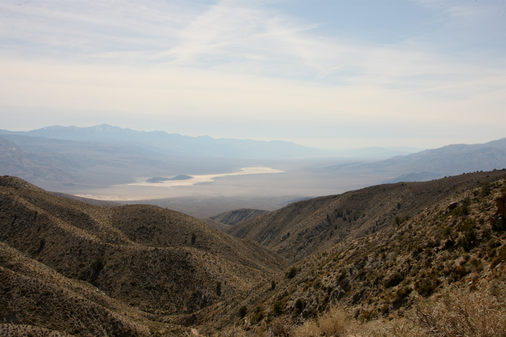
At
South Pass, Mark and Roberto split off from the group and returned
to San Diego. Matt and Nancy continued on with us to the hot
springs at Saline Valley. Above, we could see the Panamint
dry lake from South Pass.
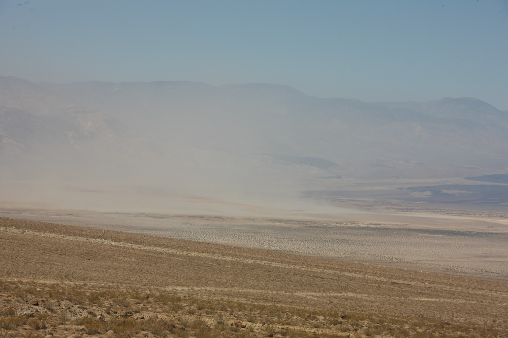
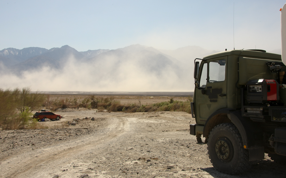
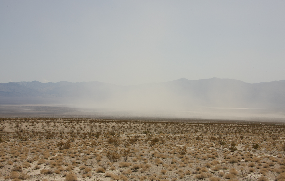
Oh,
yuck. The wind was 40+ mph and it was driving huge clouds of
akalai dust in the valley below.
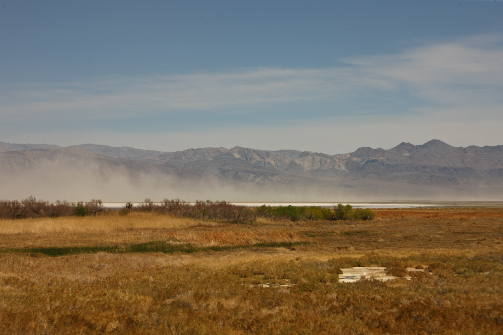
When
we got to the valley floor we could see that the dust plume
stretched for miles to the east of us.
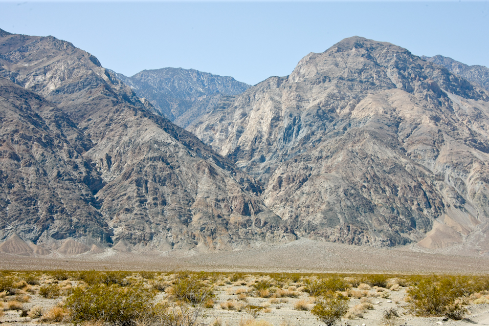
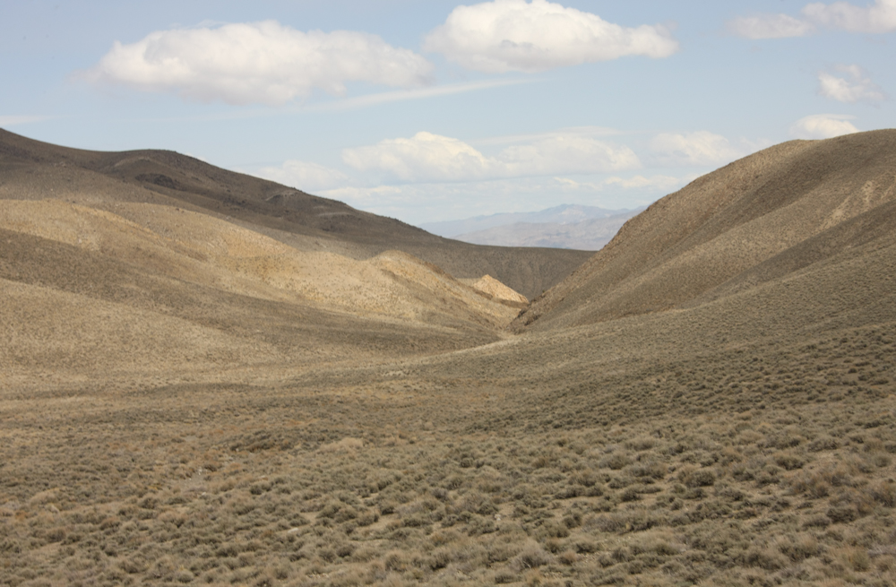
Many
of the canyons on the east slope of the Inyo range were
essentially slots carved by the intense runoff. Note the
alluvial fan at the base of the slot canyon.
A
bit further to the north, we passed the "wet" part of the lake
bed. The dust was visible on the salt flats beyond.

We
did not pass many oncoming vehicles, so I was rather surprised to
see this vintage Land Rover.
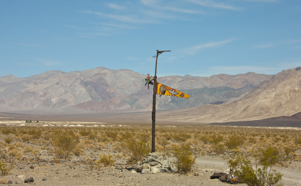
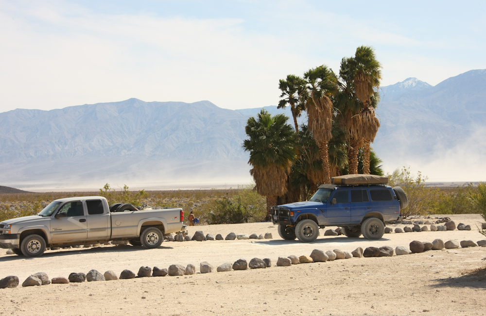
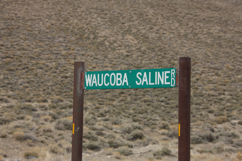
The
access road to the hot springs had this odd signage. The hot
springs are visible in the left center of the photo above: it is
the clump of trees.
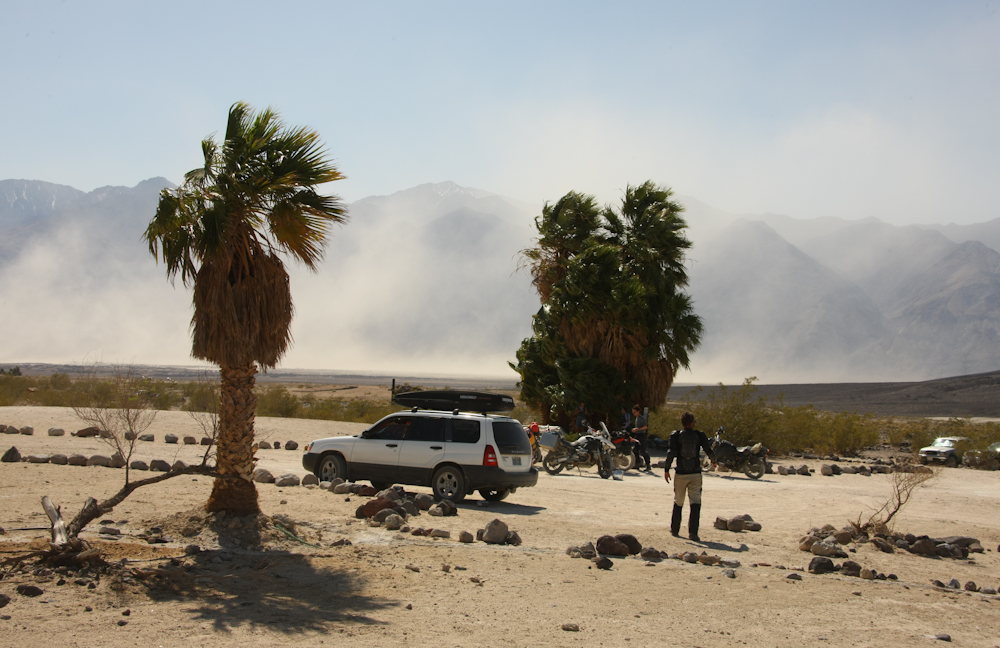
We
first stopped at the lower hot springs and then decided to check
out the upper springs as well. The upper springs were much
more exposed with minimal vegetation.
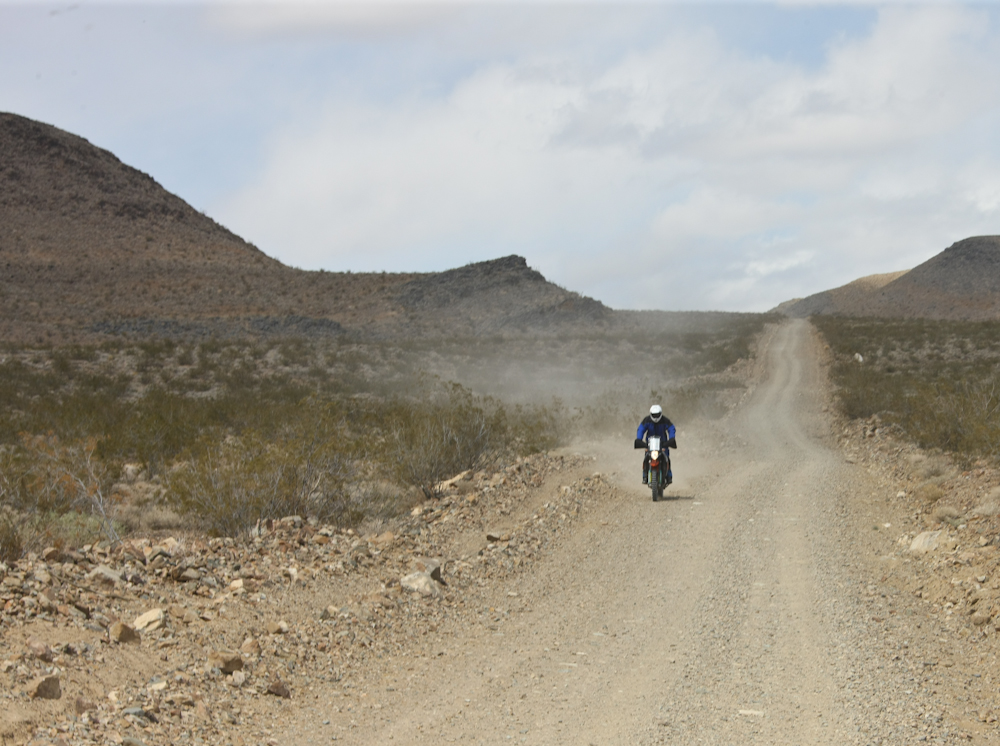
Looking
to the west, the dust plume was blocking the view of the
mountains. The bikes in the foreground passed us at South
Pass.
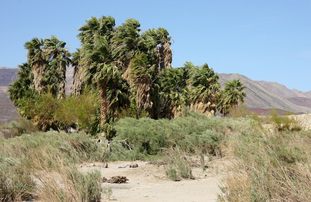
We
decided to setup camp at the lower springs. There was a nice
set of palms as well as a concrete hot tub, showers and several
(clean) restrooms.
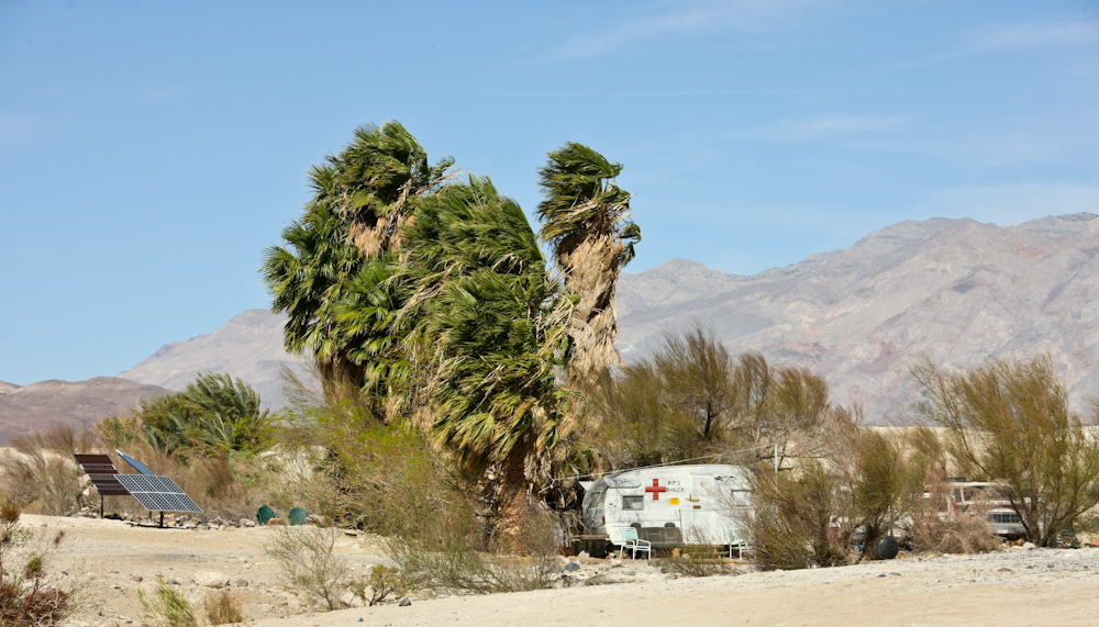
The
fellow that is the camp host, AKA "Lizard Lee" lives at the
springs full time. He does a great job of keeping things
clean and drains the main hot tub daily for a thorough scrubbing.
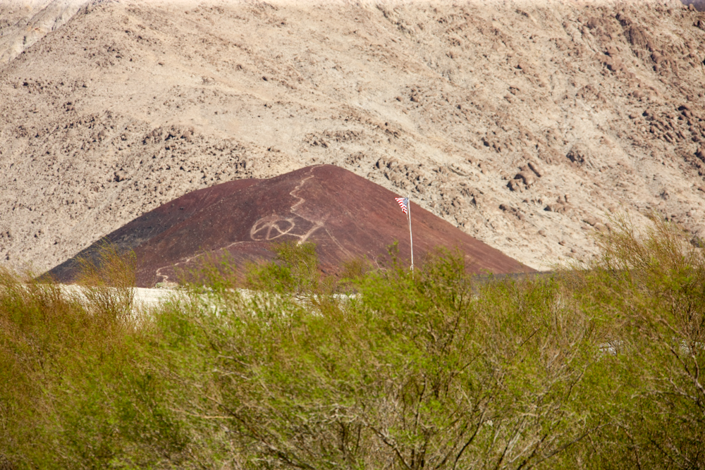
The
neo-hippie types that frequent this place have left their mark on
the cinder cone to the south of the springs.
From
our camp, the dust plume was blocking our view of the Inyo range
to the west. The winds blew strong all night as well as the
entire next day.
Kathleen
made pot roast with mashed potatoes for dinner. We then
retired to the hot tubs and some shut-eye. Matt and Nancy
left early in the morning to return to L.A. We hit the tubs
again and then headed out of Saline Valley via the North Pass
road. North Pass was in much better shape, but still a very
long trip. North Pass took us 3.25 hours of travel from the
springs to the pavement at Death Valley Road. About midway
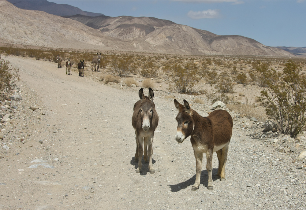
on the road, we passed the local version of Homeland
Security. Yes, they were asses too. These guys held
there ground until the bumper on Thor pushed them out of the
way. I was pretty sure they were going to "donkey kick" the
truck, but instead they just strolled away at their own pace.
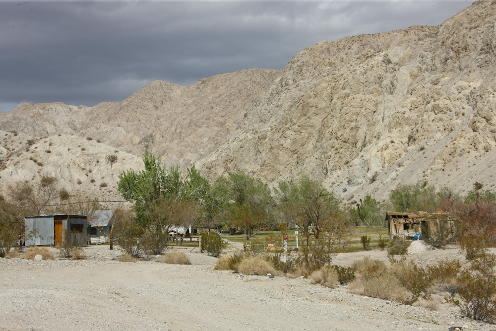
Further
up the road, we passed this outpost. The land was private
property. Note the storm clouds brewing in the west.
We would get snow on North Pass.
As
we gained elevation, we got a view of the dust plumes over Saline
Valley. It was like this all night.
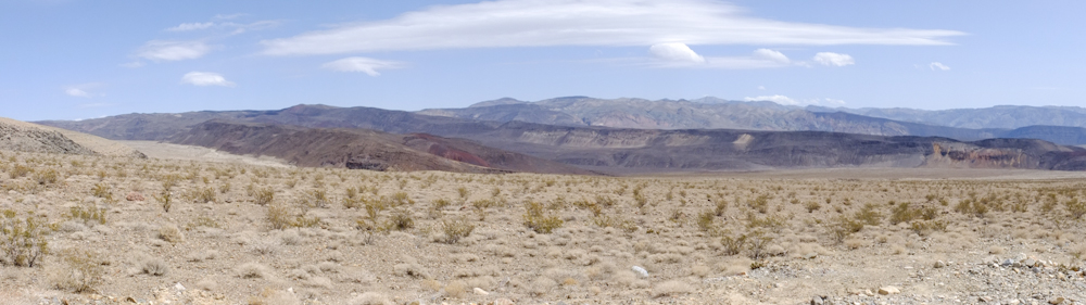
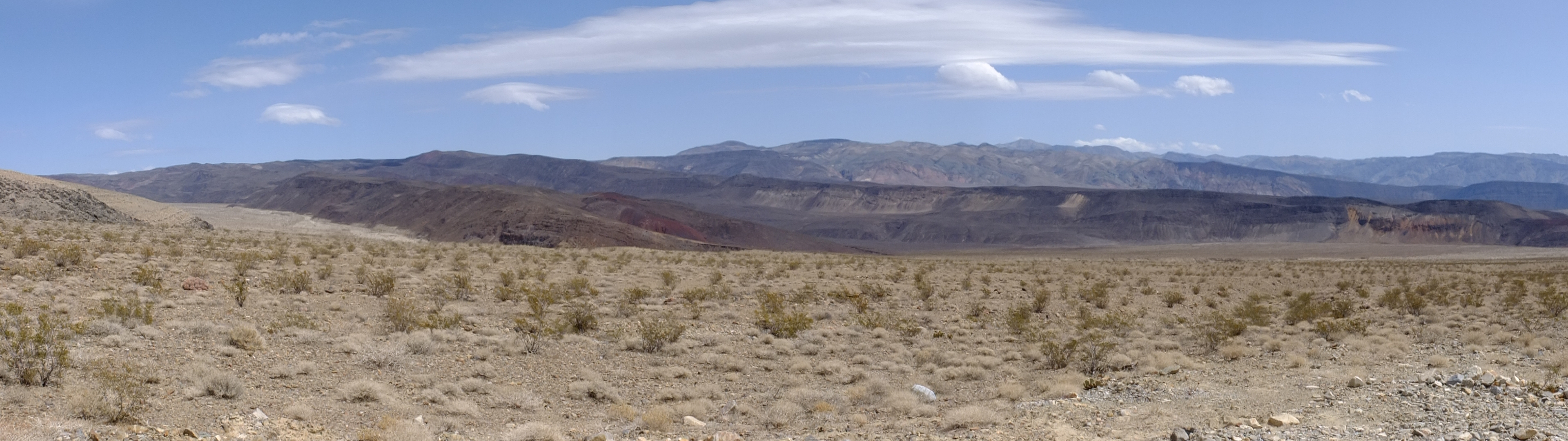
A
panorama of the terrain to the north of Saline Valley. Click here to view the full-size
panorama.
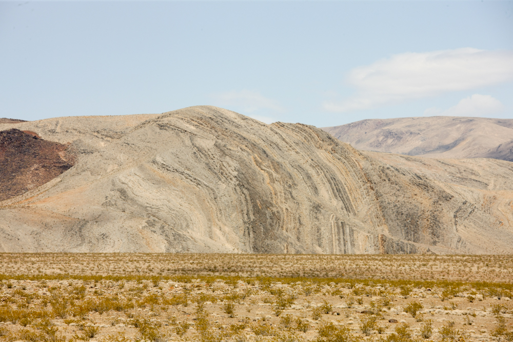
Note
the upturned bedding in this ridge.
We
only had 3 oncoming vehicles in 3.25 hours, and this fellow was
one of them.
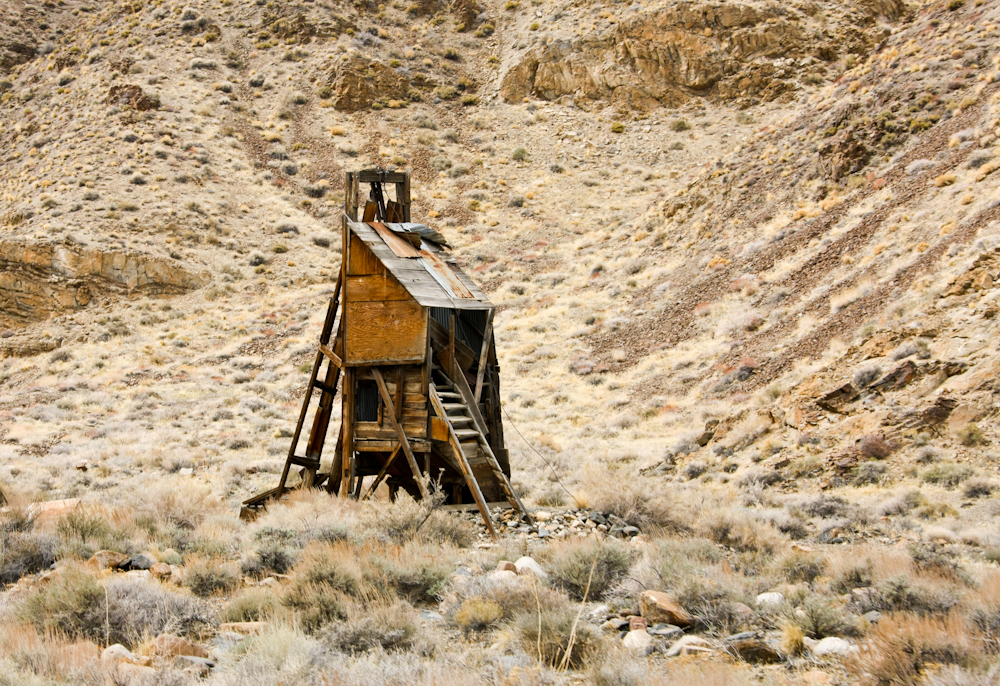
Near
the crest of North Pass, we passed through a set of abandoned
mines. Above is a headframe from one of the mines.
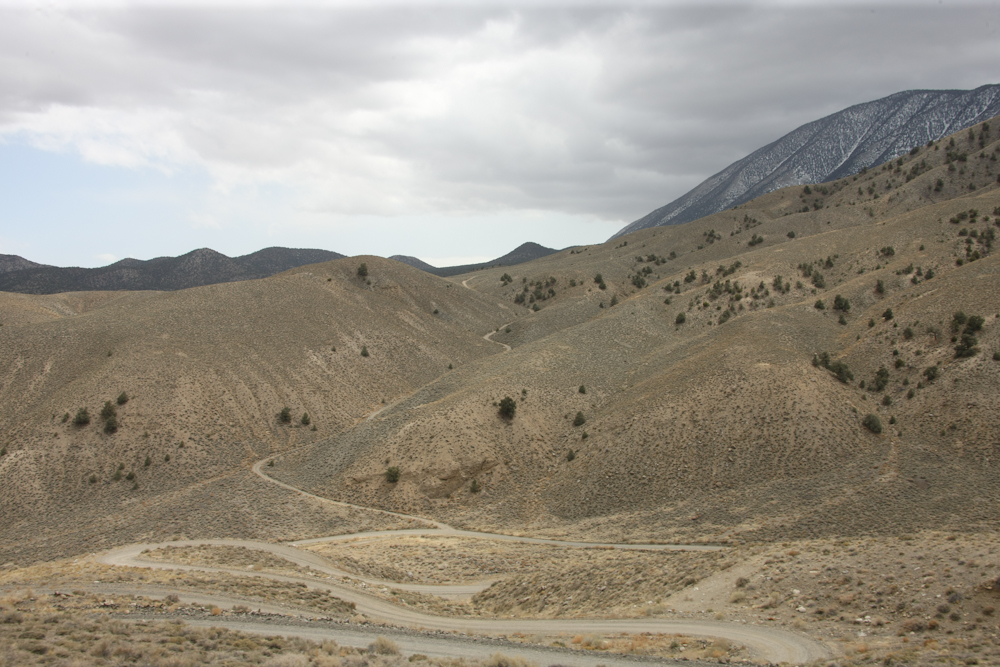
North
Pass was quite steep. Note the switchbacks.
The
vegetation at this elevation was quite sparse.
The entrance sign at North Pass.
Saline Valley is interesting and it attracts "colorful" types of folks. The cross section of people was actually quite diverse ranging from European visitors to retired couples. Sprinkled in were a few hemp-heads and a set of cross-country motorcycle types. But the place was quiet and folks were friendly. To be sure, the path to get there is long, slow and rough - from either of the 3 entrances. You REALLY have to want to go there to be willing to suffer the many miles of rough roads.
From North Pass, we followed Death Valley Road west to Big Pine, CA. From there, we headed north to Mammoth Mountain for some skiing.
We had a great
time in Death Valley, but the weather could have been a bit
better. We will surely return in the near future.
| Previous Adventure | ||
| Trip Home Page |
Photos and Text Copyright Bill Caid 2012, all rights
reserved.
For your enjoyment only, not for commercial use.