Lake Isabel was a fine camp. We got the last spot in the camping area and Thor turned every head in the place. Before we left every person had either 1) talked to us; 2) asked permission to take a photo or 3) took a photo anyway. No matter, we are getting used to it.
We
continued north toward Salida but did not make it there in one
hop.
The photos below are what we saw.
There
were a bunch of cars parked along the highway so we stopped too to
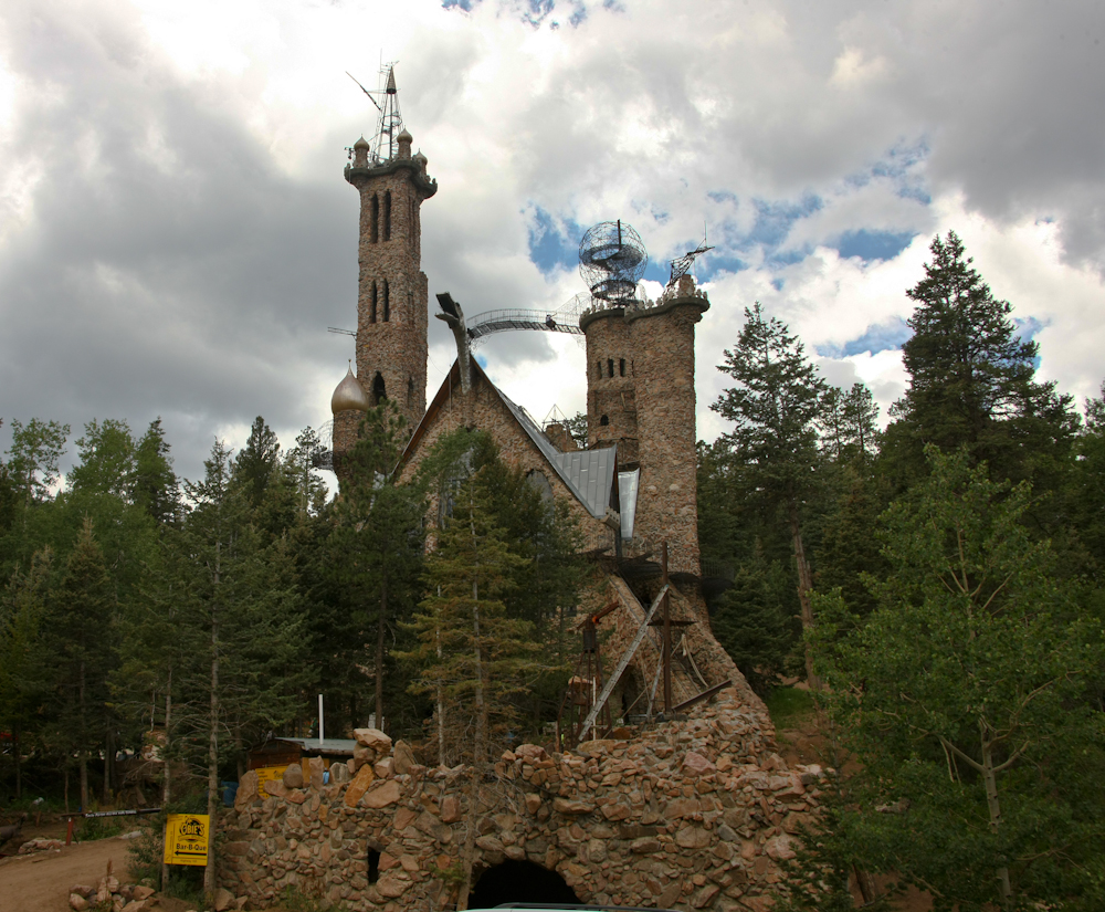
see what was going on. To my great surprise I spotted this
structure called "Bennett's Castle". The sign says "built by
hand". Indeed, as no sane contractor would do this job.
Note the dragon snout on the crest of the roof.
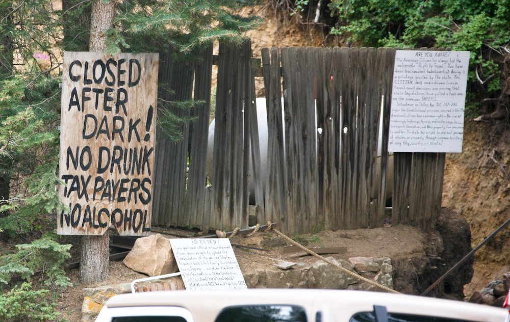
Thinking
this was a physical manifestation of some late-60's extended trip,
I was not all that surprised to see the hand written signs.
The right sign states that you have the right to drive without a
driver's license and the lower sign is a rambling comment on the
cost of freedom.
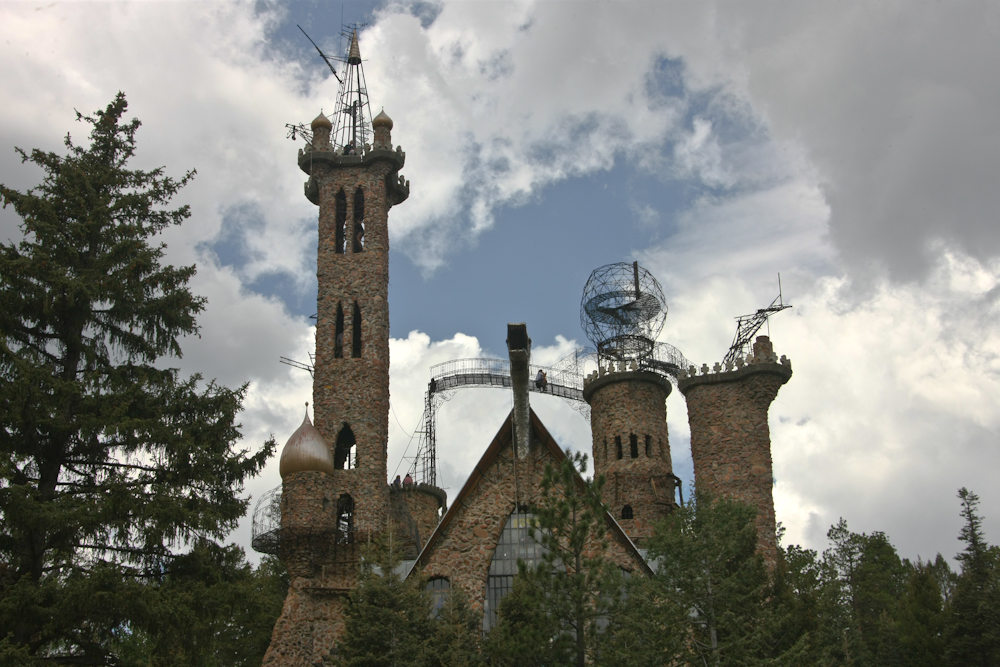
As
I got closer the scope of the construction became apparent.
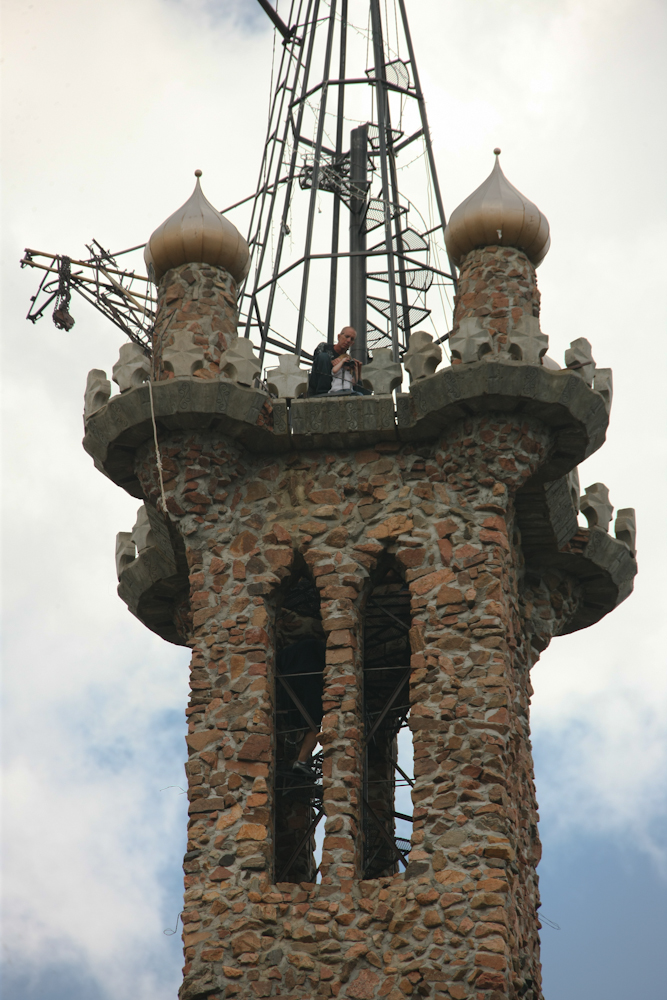
After
inspecting the photo I noticed that there is a man and his child
in the tower and another person on the circular stairs on the way
up.

Given
the mentality of the kind of person that would build such a
structure, I am not sure that climbing on that bridge is such a
good idea. They are a long way up. But the photo does
provide some needed details on the dragon snout.
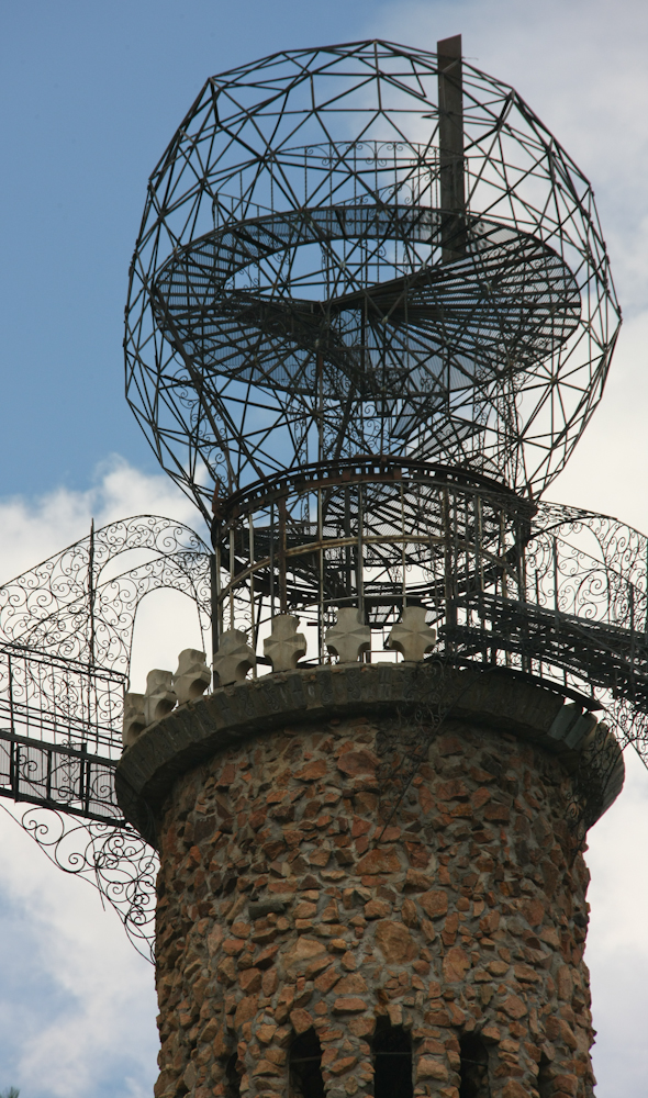
I
never did quite figure out the objective of the structure.
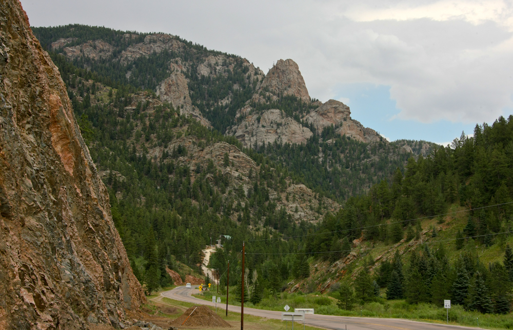
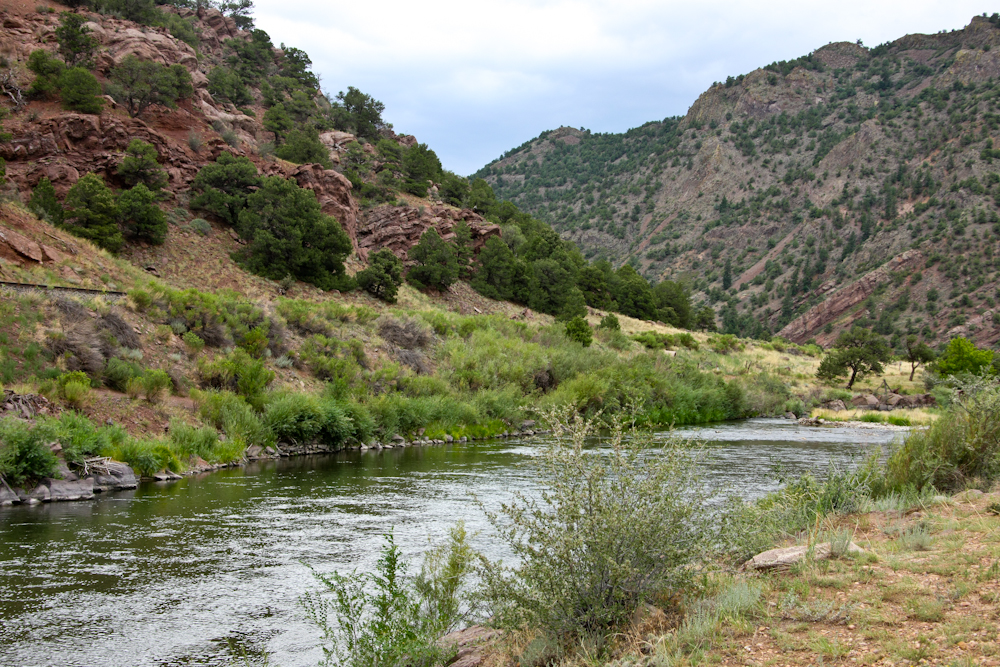
Our
path took us through some deep canyons and some massive
escarpments.
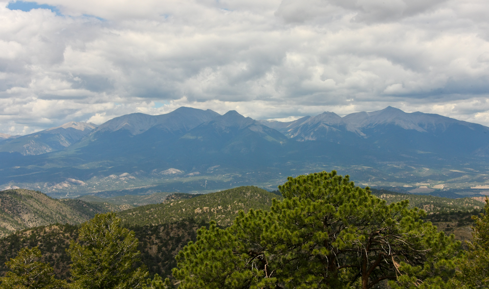
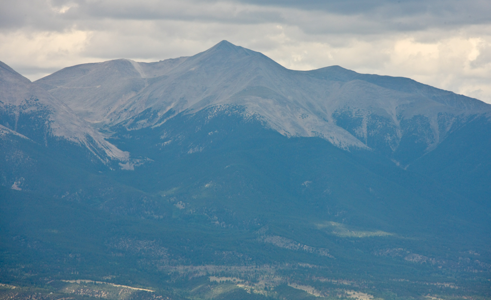
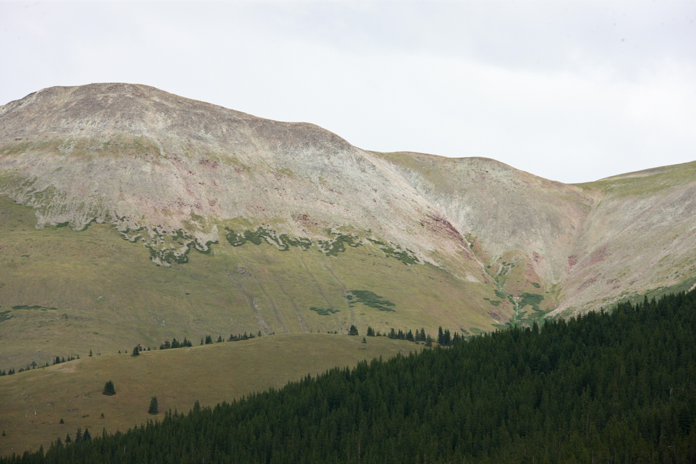
Heading
over a 9,000 foot to Westcliffe, we got a nice view of one of my
favorite ranges: the Sangre de Christo.
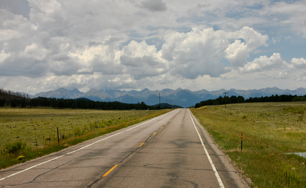
Most
of the peaks in the Sangre de Christo range are over 12,000 feet
and several are over 14,000. But, despite their height most
of the snow had melted off revealing barren terrain above the
timberline.
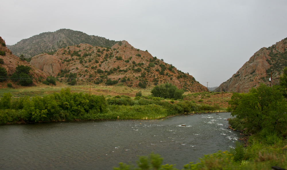
Our
path took us along the Arkansas River. It was flowing
nicely, but not very deep.
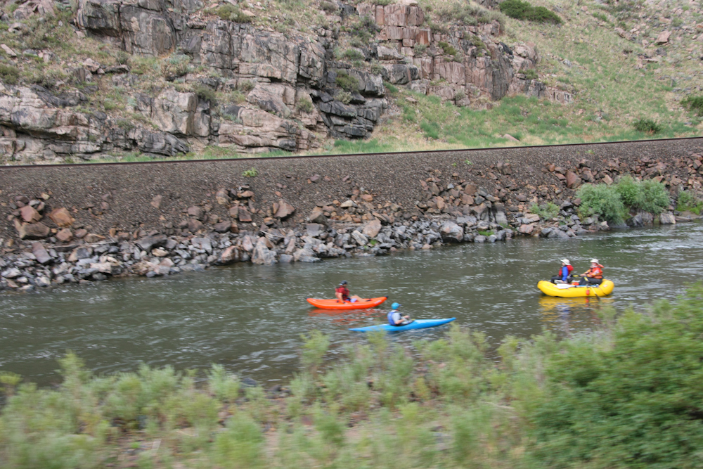
We
saw rafters, kayakkers, fishermen and folks in canoes.
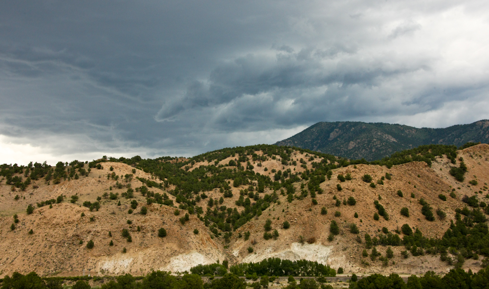
The
weather was building to the west of us and there were some dark
and menacing clouds that meant that it would rain later.
There were tons of folks on the road with campers, trailers and the like and given that it was a Friday we took the first reasonable camp that was available, in this case a Colorado state administered recreation area next to the Arkansas river. The good news was that the site was level and right next to the water. The bad news was that it was also next to the highway since there was minimal "bottom land" in the canyon. But, we were only going to be here one night and given the day, we happily accepted the site.
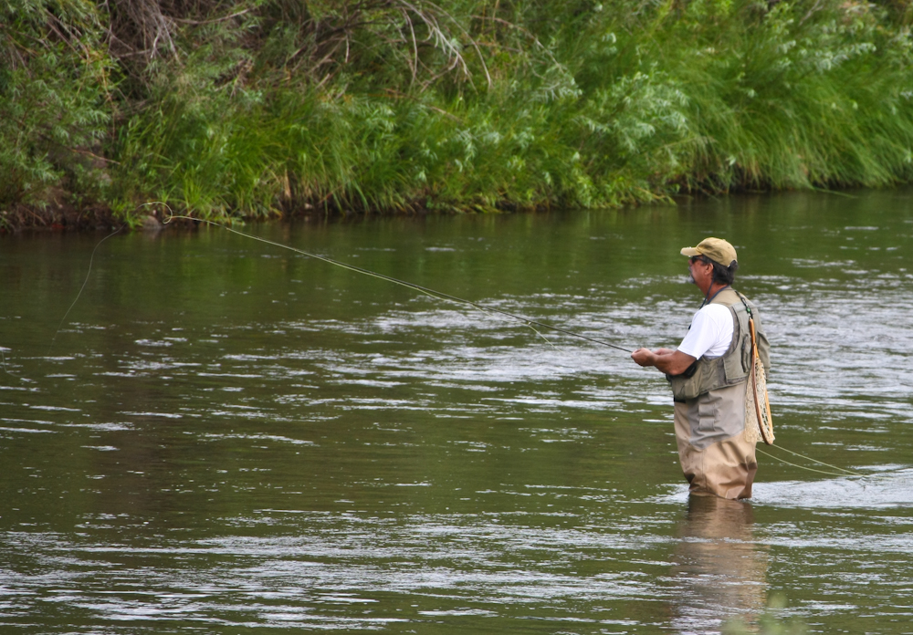
One
of the other folks in the camp was out in the river trying his
luck for trout.
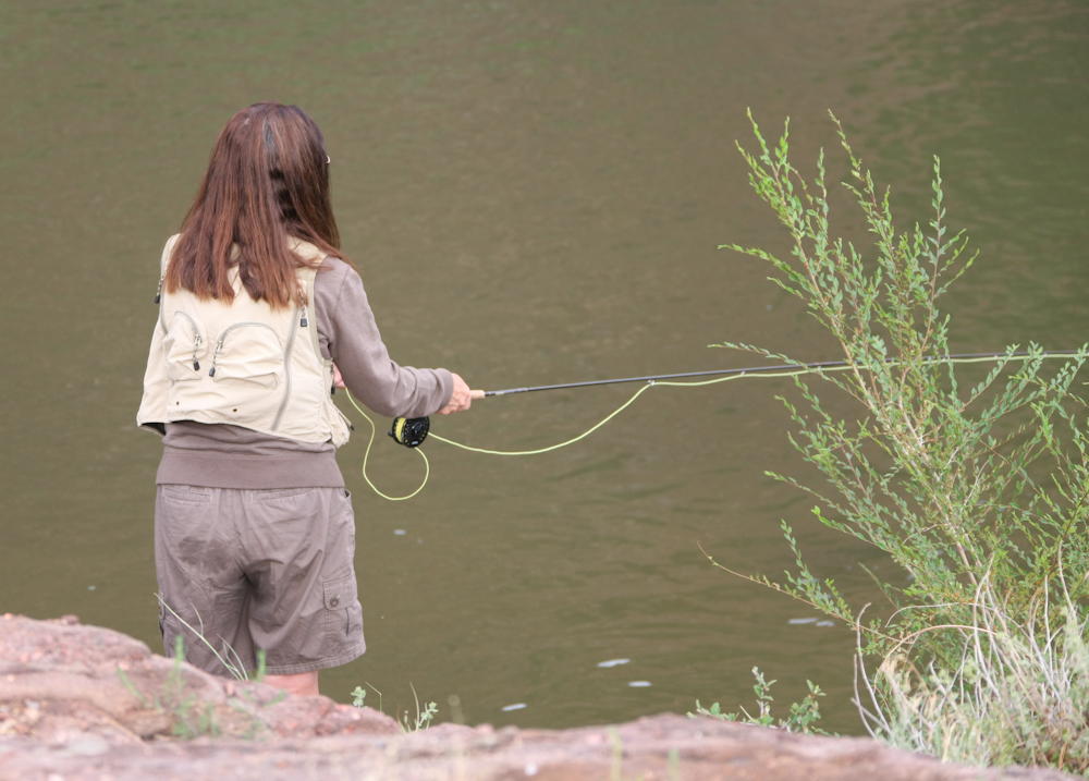
His
wife was attempting to fish as well but by her own admission "I am
not very good at this". I cannot comment as I am not a fly
fisherman, but to be sure I stood far away when she was casting.
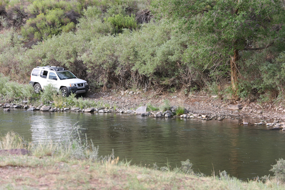
Across
the river was this narrow trail that followed the water.
This fellow got as far as seeing that he would have to get his
tires wet in the obstacle at the far right of the photo then
backed up for a long, long way.
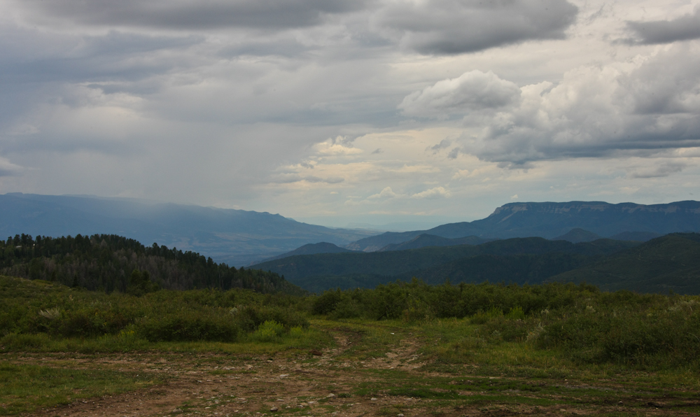
We continued up
the Arkansas River toward Salida and then took a dirt trail over
the mountains to the east. From one of the switchbacks we
could see the mountains to the west of Salida.
The
mountains to the west of Salida were quite impressive. Note
the dirt road on the face at the left of the photo. Those
switchbacks might be scary in Thor due to the required turning
radius.
Our
path up the mountain to the high valley beyond was steep and
narrow. We did however suffer several oncoming vehicles,
several with trailers, but fortunately there were at locations
where we could safely pass without unnatural acts. The
valley to the east was more like a high plateau at about 9,000
feet with little grass.
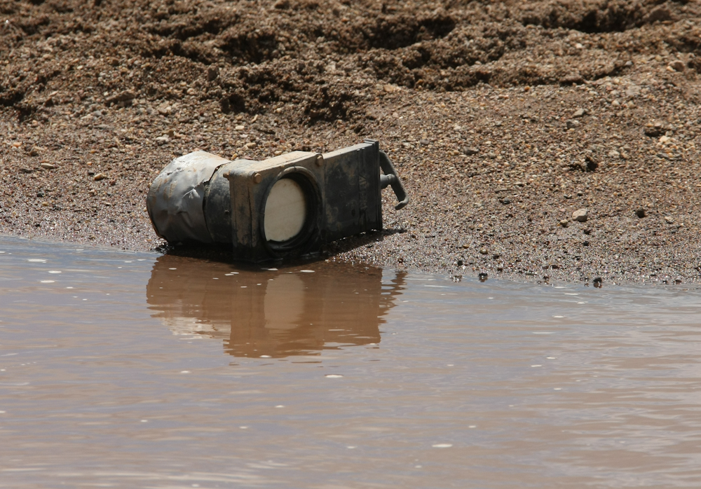
Oops.
At a water crossing/dip in the road we spotted this device.
For you that are uneducated, this is a blackwater knife
valve. Note the duct tape on the left end. This valve
is used to allow raw sewage (blackwater) to drain out of the tank
into the sewer system. So, one could reasonable assume that
the trailer that this was attached to had insufficient clearance
for the dip in the road. The valve and associated plumbing
was ripped off the tank and I am sure emptying the contents into
the water and on the road. The owner was in for an
unpleasant surprise when he pulled into the next campsite and used
the toilet. As a side note, this would be very hard to do on
Thor. First, there is a big tool box under the fittings and
second the fittings are about 4 feet from the ground. It
would be possible to damage it, but there would be tons of other
things that would be damaged as well.
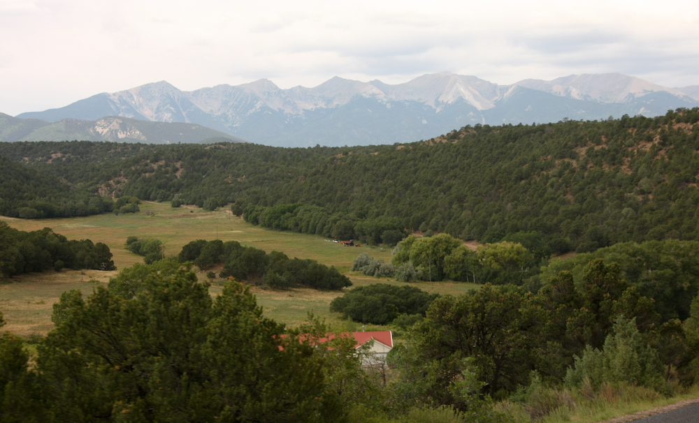
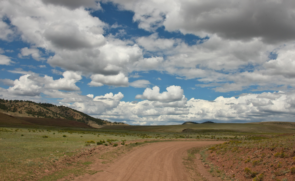
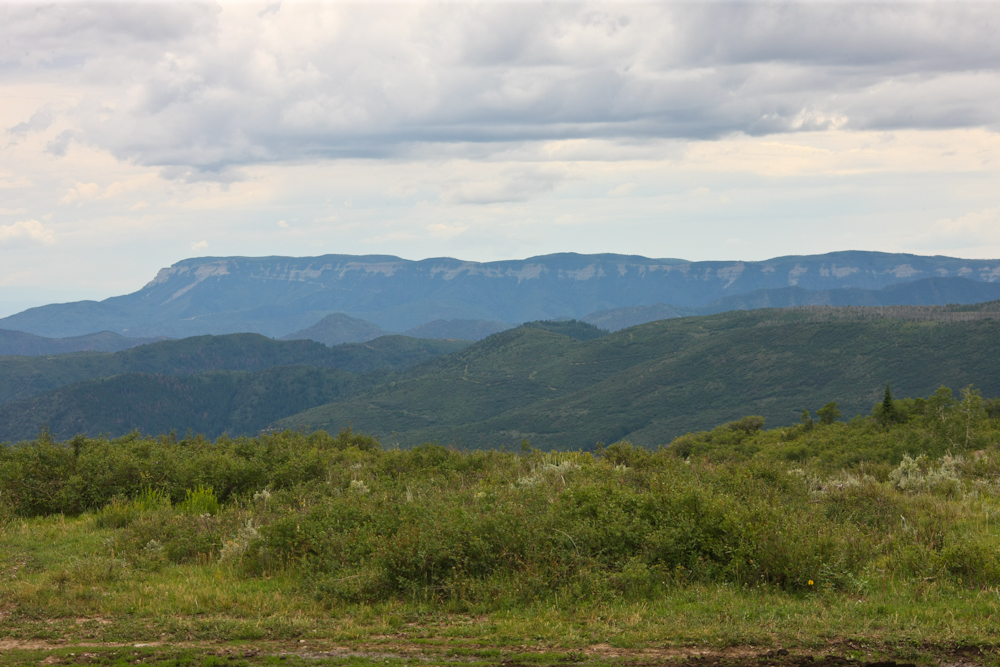
From
a crest in the dirt road we got a good view of the plateau and the
high peaks beyond. Crossing the mountain range and the
plateau was about 50 miles of dirt.
We
hit the blacktop and headed north on CO-9. We stopped at a
cafe for lunch and while we were there I was approached by an
older fellow that asked if "that Mercedes truck was mine".
Yes I replied. He said he was the manager of the RV place
that sold me the camper. It would appear to be a small world
until you look at the map and realize that we were only about 100
miles from his shop and were on one of the most popular day-trip
routes in the area. After lunch, we continued south on CO-9
toward Breckenridge. The pass to the south of Breckenridge
is 11,500 feet and gave us a great view of the ridges to the
east. Note the landslides on the loose areas of the steep
slopes.
Given
that it now Saturday we had great difficulty in finding a camp
site. We stopped 4 times and were told they were full.
Kathleen was demanding a shower and that put tight constraints on
acceptable sites. We ended up leaving the Frisco area and
heading west on I-70 all the way to Glenwood Springs where we were
told the same story. In the end, we found a place outside of
New Castle. The site was fine and had what we wanted.
Next morning we broke camp and did a supply stop in New
Castle. Since we were more than 100 miles west of where we
intended to be, we were forced to choose a whole new set of
objectives. We decided to hit the dirt again and head up to
the 10,000 foot ridges of the White River Mountains. From
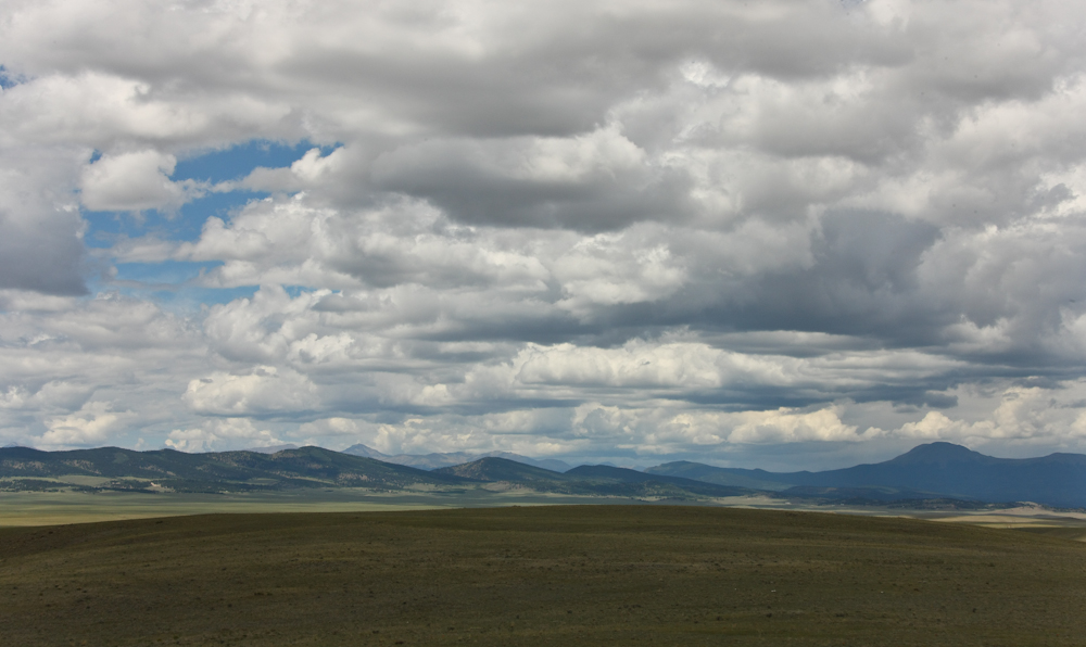
one of the bald ridges, we could see far to the west.
The
ridges to the west were quite rugged and the storm clouds were
dogging us again.
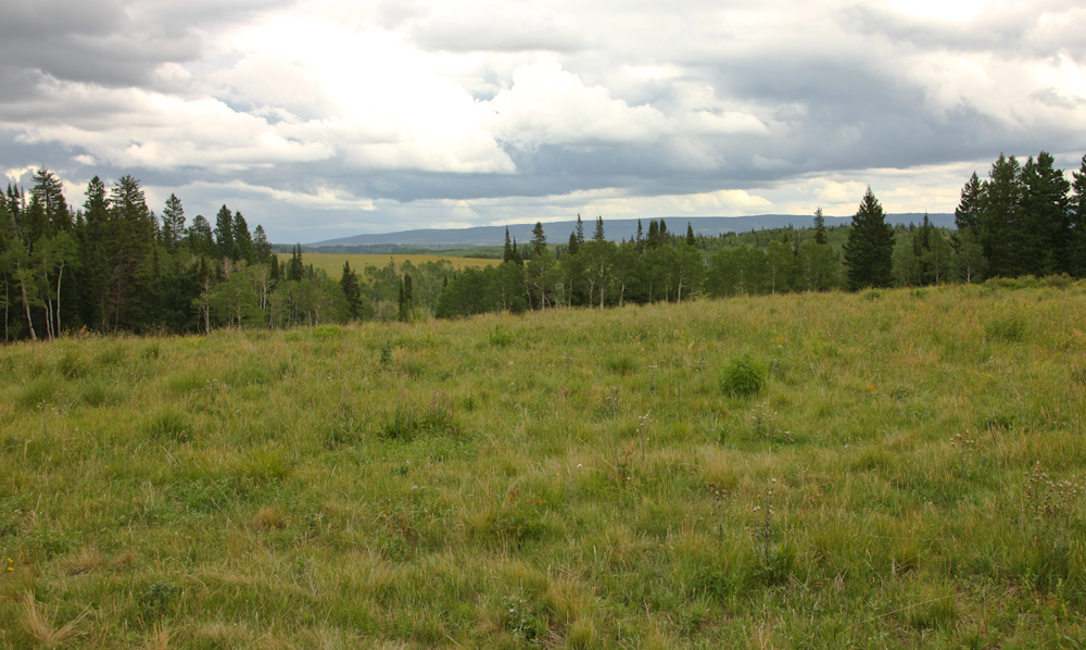
We
took a side road into a nice meadow and evaluated it as a possible
camp site. While nice, Kathleen wanted to see Meadow Creek
Lake about 10 miles down the trail.
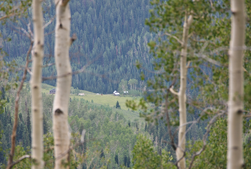
From
the crest of the meadow, we could see a small ranch in the valley
far below through the Aspen trees.
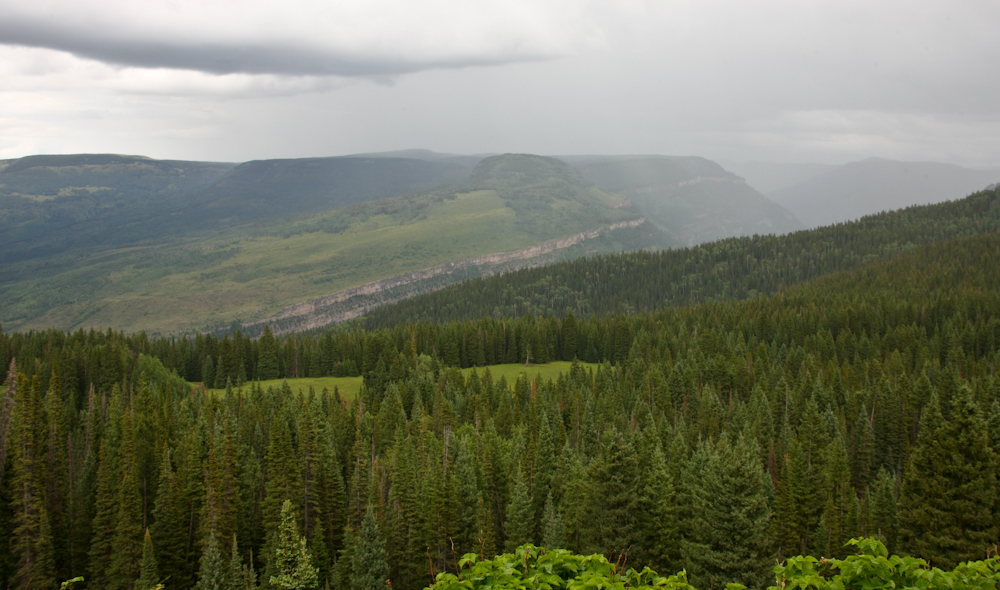
From
the 10,000 foot ridge we could see the escarpments to our
east. The weather was starting to close in.
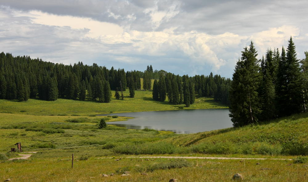
Meadow
Creek Lake was very small. We evaluated the camp sites there
and ended up doing a remote camp on one of the nearby
ridges. The swing vote was the herd of 200+ sheep that were
grazing in the trees next to the camp bawling like crazy. We
were sure they would be there all night making tons of racket.
This was a great segment of the trip. But, the message is clear: beware the weekend if you are within striking range of a major city. Or in this case CITIES (Colorado Springs and Denver).
Tomorrow, we
continue north on the dirt toward Wyoming although that will take
several days to get there.
| Previous Adventure | ||
| Trip Home Page |
Photos and Text Copyright Bill Caid 2012, all rights
reserved.
For your enjoyment only, not for commercial use.