We
left Meadow Creek Lake at 10,000 feet happily. It was pretty
cold, it rained, it was muddy around the campsite and both
Kathleen and I were having some altitude sickness symptoms.
From Meadow Creek Lake in the White River Mountains, we descended
to the river below and generally headed north toward
Steamboat Springs, CO.
The photos below are what we saw.
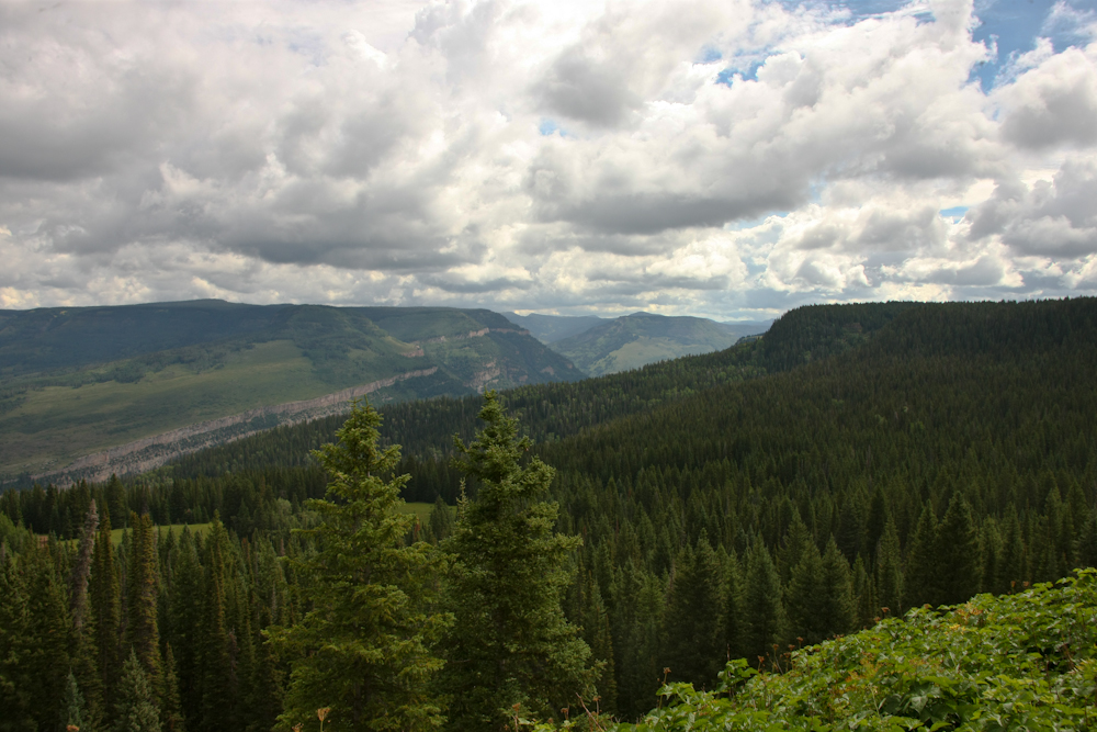
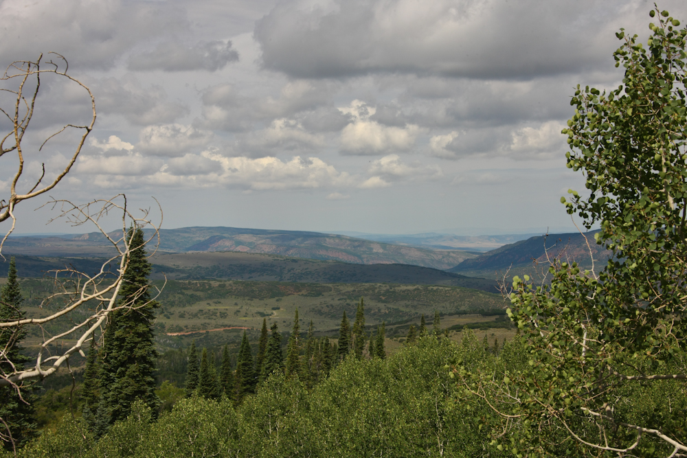
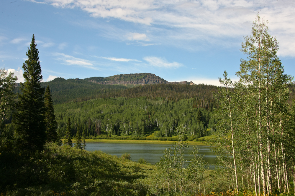
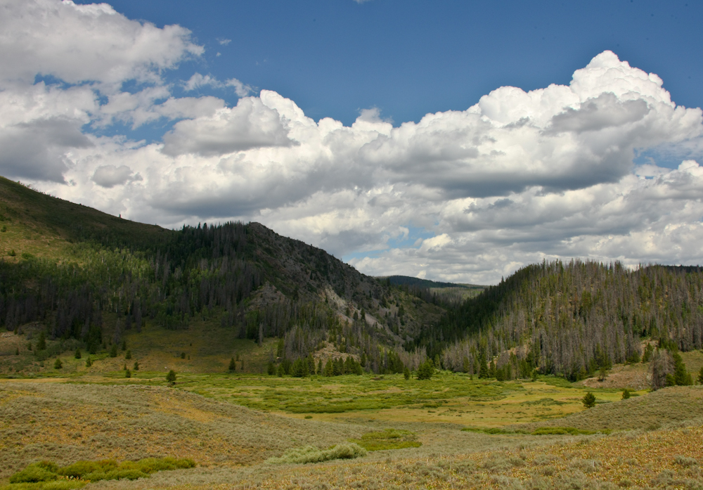
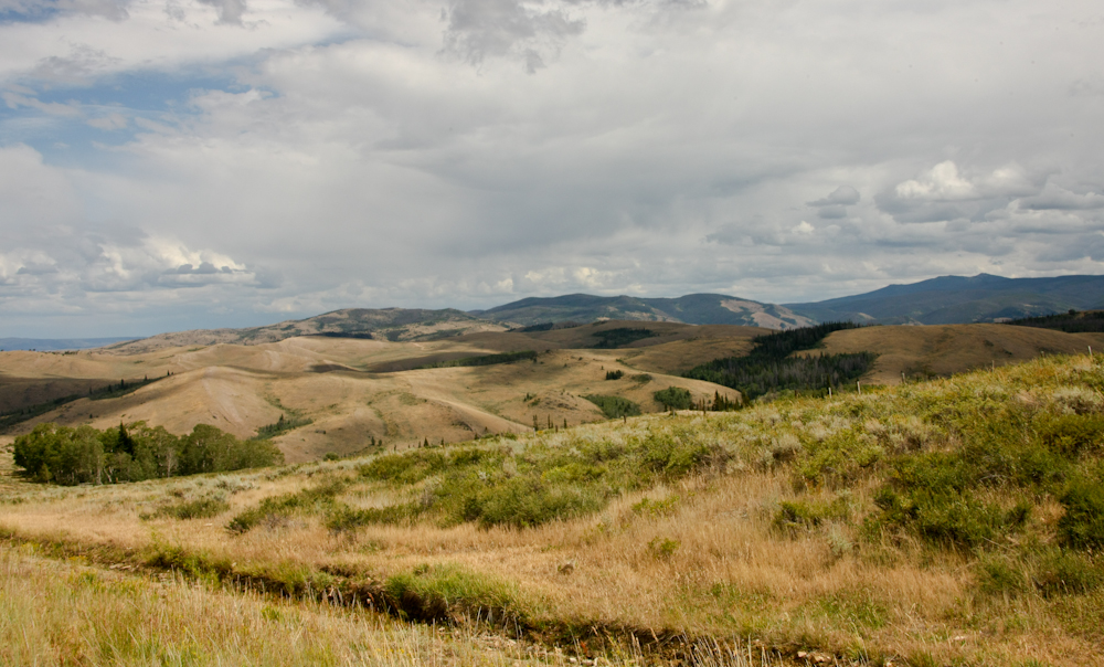
As
we descended from the mesa where Meadow Creek Lake is located we
got a nice view of the canyons to the northeast. There were
still plenty of clouds and it looked like it might rain early in
the day.
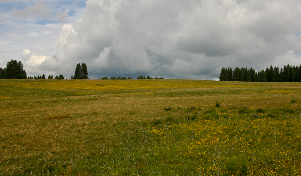
Unlike
the arid lowlands, the mountain crests were covered with thick
grasses and flowers. Due to the altitude, the blooming
season of the flowers was late.
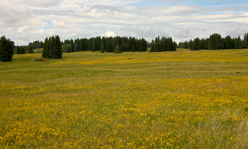
This
open meadow had tons of yellow flowers.
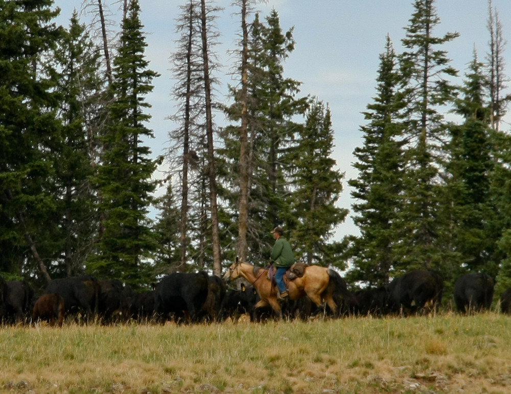
Down
the road a bit, we spotted a pair of real cowboys working for a
living. Note the muscle tone on the flanks of his mount; his
horse works for a living as well.
As
we descended to the river far below we had a great view of the
valleys to the northwest near Craig, CO.
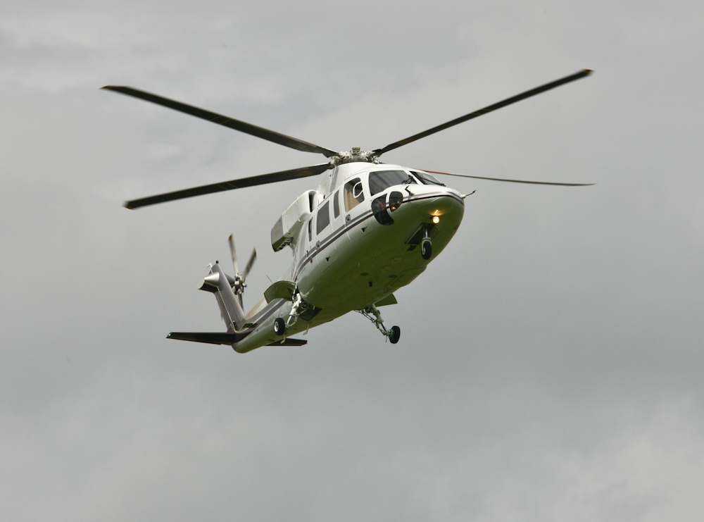
We
went through a very small town of Buford, WY and as we were
crossing the river a helicopter came overhead.
As
we discovered later, Buford has great trout fishing and the
helicopter was bringing in fishermen to lodges in the valley.
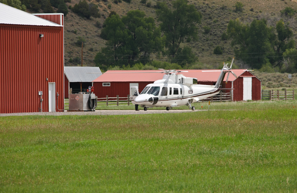
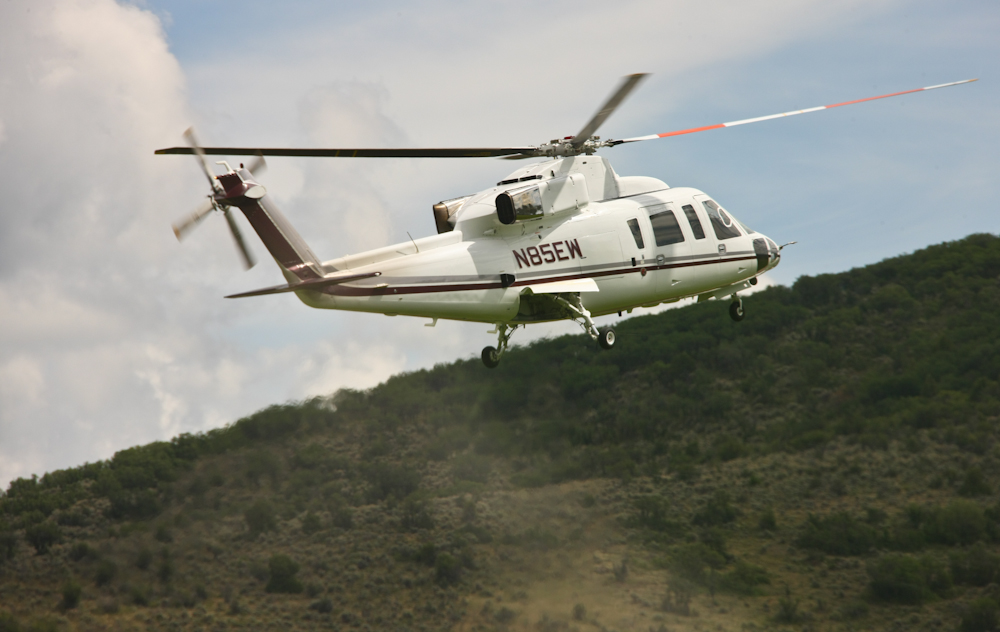
The
area must have sufficient clients to merit a helipad with
fuel. Above, the ground attendant opens the door for the
clients.
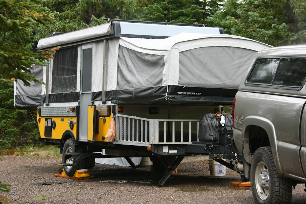
We
reviewed the map and decided that we would check out the
campground next to the Flattops Wilderness. The camp was OK
but it was too early in the day to park so we just did a
drive-though and I spotted this ruggedized popup pull trailer.
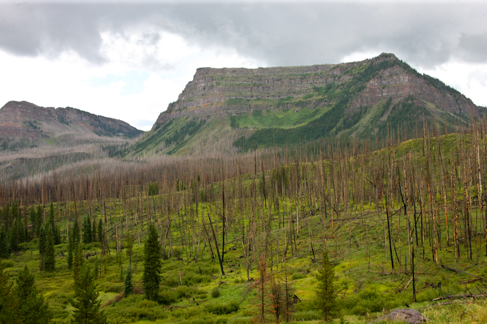
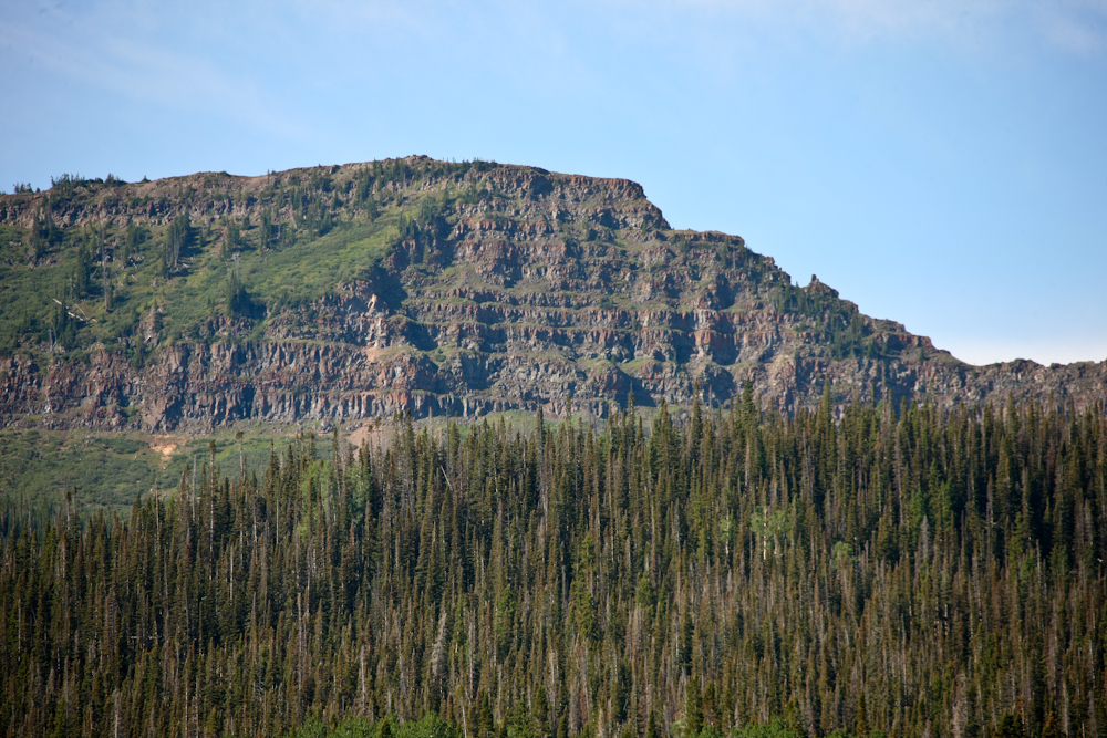
The
end of the road had some nice views of the Flattops. The
naming of the mountains is obvious from the photo above.
There was a burn in this area recently and the dead trees are a
testament to the fire.
Large
tracks of timber were burned in this valley.
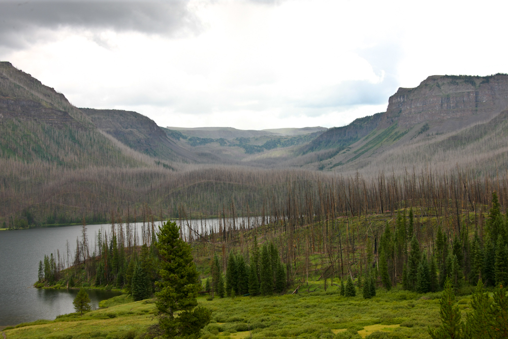
There
was a nice lake at the base of the mountain and there were some
folks fishing in the rain.
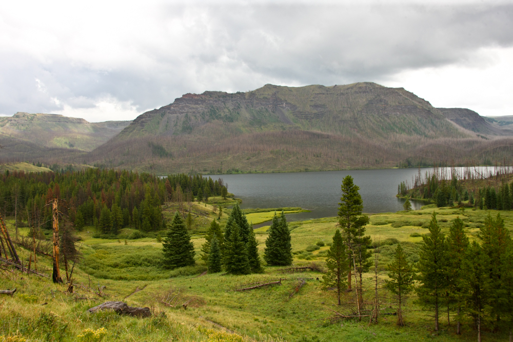
We
continued down the dirt trail and took a side spur to Chapman
Reservoir. The place was empty and the timing was right so
we spent the night there. We had quite a bit of rain that
night. Next morning the sky had cleared and the light was
conducive to a reasonable photo of the reservoir.
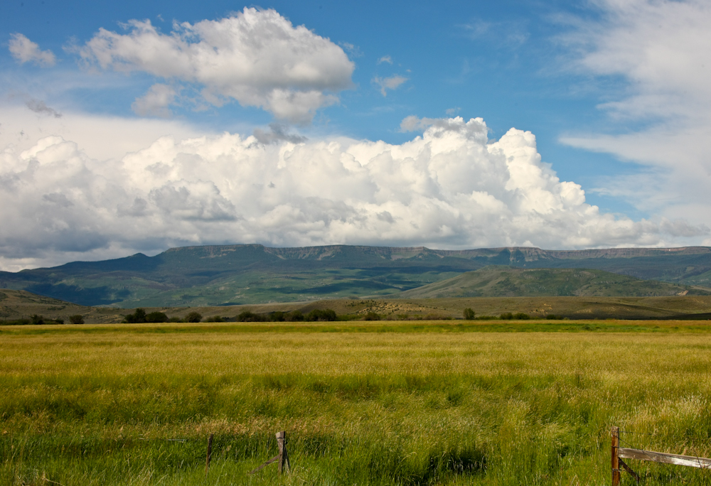
The
mountains on the far side of Chapman Reservoir were part of the
Flattops.
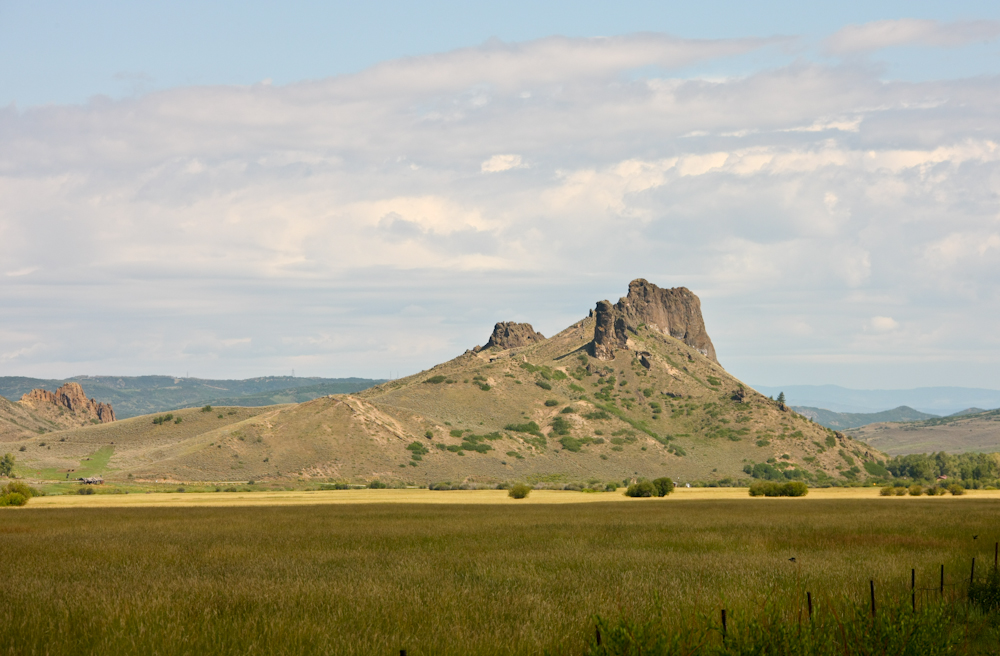
We
headed east from Chapman Reservoir to the valley of the Yampa
River. From the river we spotted this cool volcanic plug
sticking up from the sediment of the valley.
Looking
west toward our previous night's camp we got a nice view of the
Flattops.
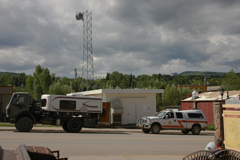
The
path to Steamboat Springs took us through Oak Creek and I spotted
a small road-side mining exhibit so thought I would check it
out. Since Thor has no "stealth mode", we were immediately
cornered by the local firemen to ask about the truck. The
fellow above passed us oncoming and turned around to come talk to
us. He later gave us a tour of their station and showed us
their rigs.
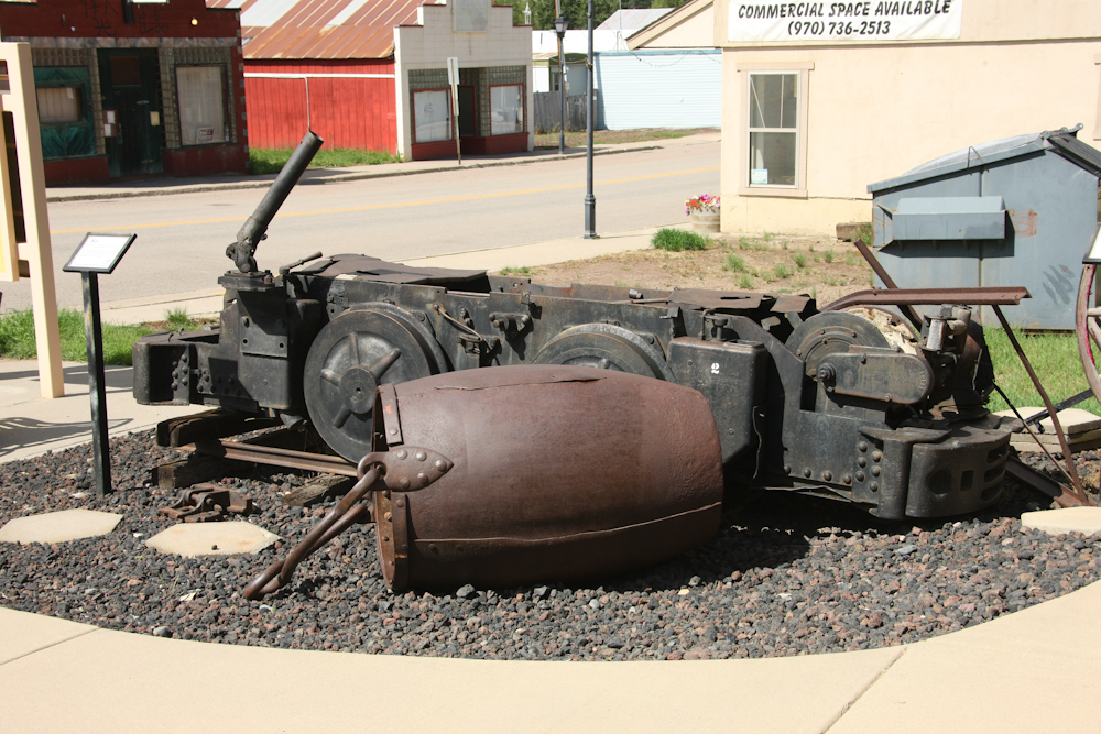
The
area around Oak Creek and Steamboat Springs is coal country.
The road-side exhibit had some interesting old equipment from the
coal mines and a description of the history of Oak Creek.
Above is a muck bucket and the bottom half of a trolley "motor".
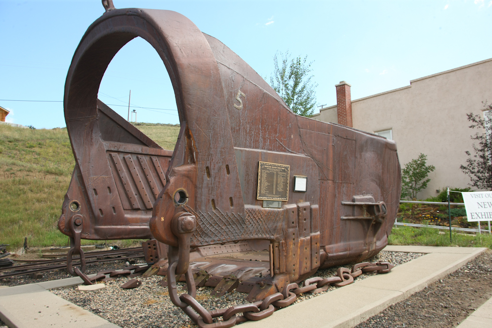
Some
of the mines in the area were strip mines and this dragline bucket
was used in those operations. The bucket removed overburden
to allow access to the coal seam underneath. The bucket was
so big that I wondered how they got it from the mine to the
exhibit area. A doubt that anybody stays awake at night
concerned about theft of the bucket. The plates with holes
in them were welded on my the miners to replace steel that was
worn off during use. Also visible are the cross-hatching due
to welding with hard-surface rods to replace lost material.
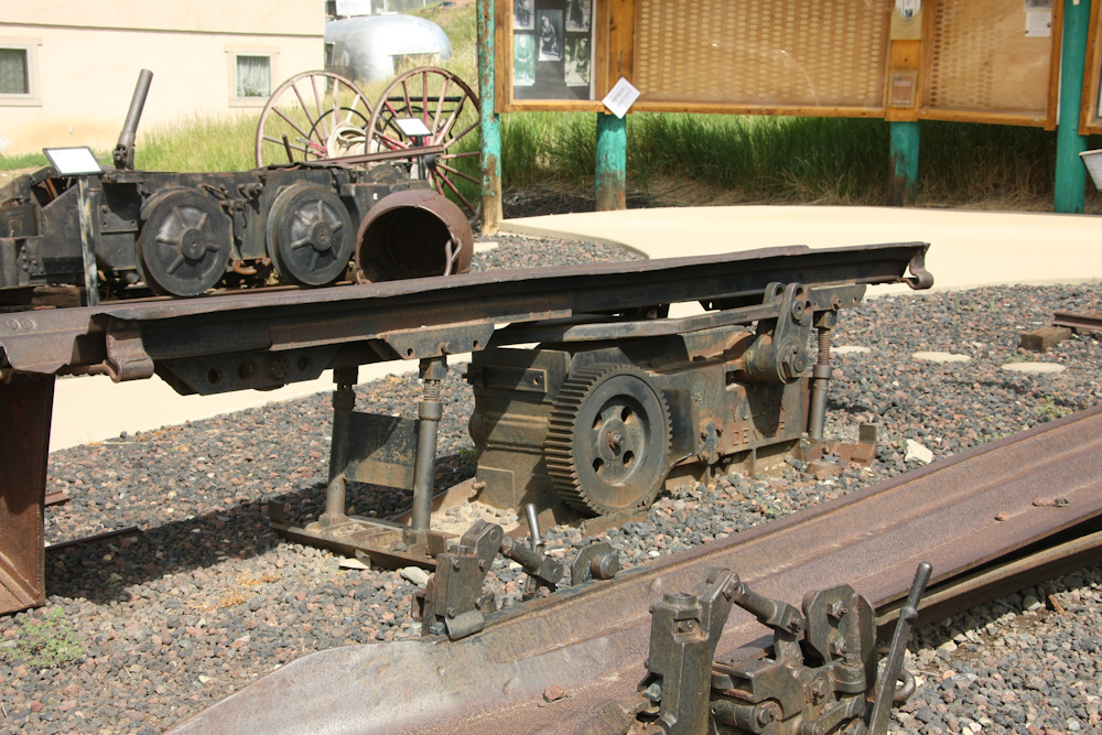
Part
of a coal conveyer system used to put coal into muck cars for
portage out of the mine.
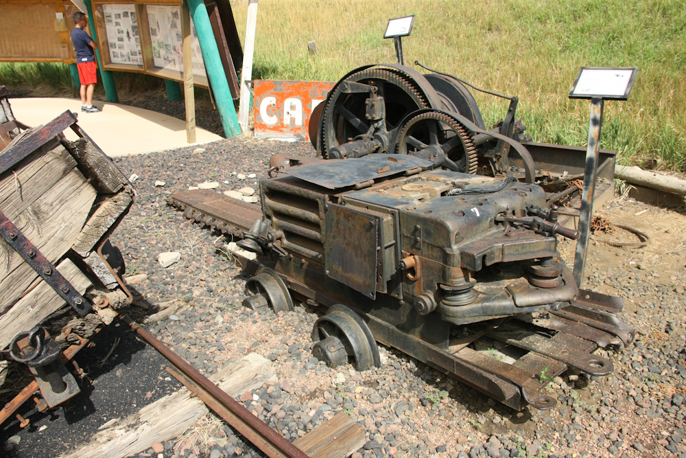
A
coal undercutting tool. Note the chainsaw-like cutting blade
at the front of the machine.
From
Oak Creek we went north to Steamboat Springs for a resupply action
and lunch. And, since we had not had internet in about a
week, we snuck a peek at the outside world through our
ever-accumulating inbaskets and web news. After lunch and
uploading photos and web pages, we headed north out of town toward
Steamboat Reservoir. We checked out the state park at the
reservoir and were singularly unimpressed, so we motored on.
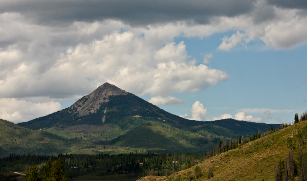
We
went further north from the state park to a Forest Service
administered campsite near another reservoir. We were again
unimpressed and elected for a remote camp at the end of a logging
road. En-route to our camp we got a nice view of this
pronounced peak. Note the structure on the top; we were
never able to figure out what it was.
Our
remote camp was great. It was not too cold and it did not
rain. Next morning, we broke camp and continued north on a
dirt road toward Hog Creek Reservoir. We checked it out, but
it was too early to stay so we motored on. We continued
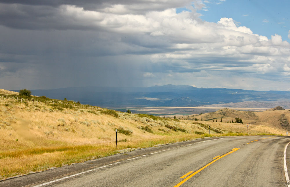
north over several passes and then descended to the asphalt road
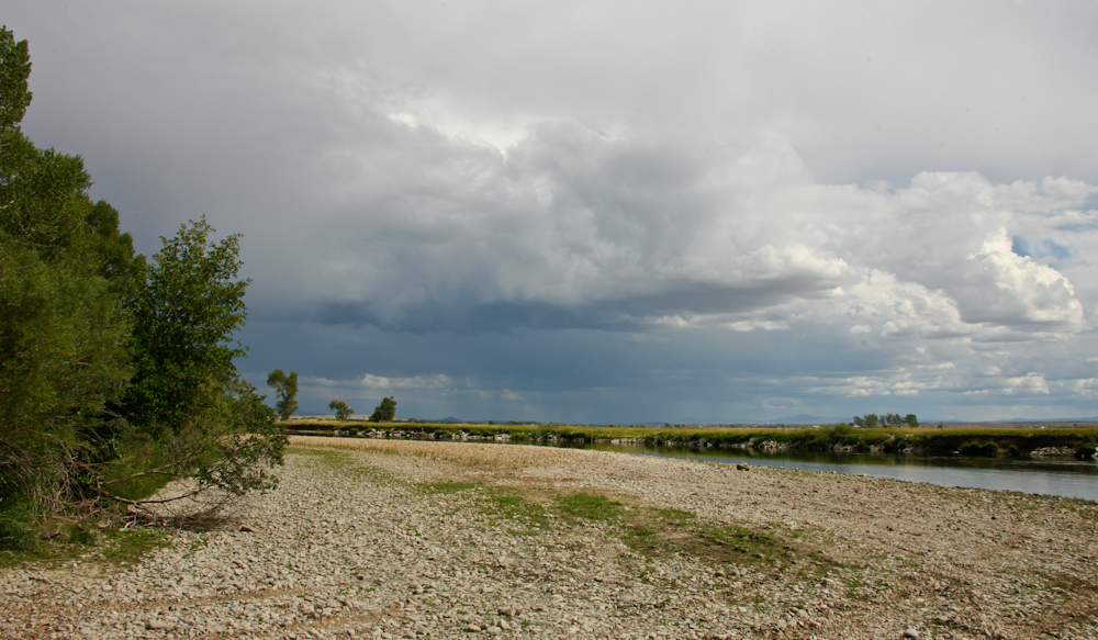
at Battle Pass. We headed east, then north toward Saratoga,
WY. Rain had been dogging us all day and above you can see a
rain squall in the valley.
The
terrain around Battle Pass was grassy with trees in the
gulches. I am guessing that fire has swept the area
repeatedly leaving trees in wet areas only.
North
of Saratoga we encountered a sign for access to the Platte
River. Since we still had daylight, we drove the dirt road
to the river. There was a small camp site there and we
encountered a fellow in a UTV with his kids. He told us that
he owned the 5N ranch that surrounded the camp area and that he
had granted an easement to the Wyoming Department of Fish and Game
(DFG) to allow access to the river. He told us that it would
be OK if we camped on the cobble bar next to the river, so we
did. We were all by ourselves and treated the situation
accordingly.
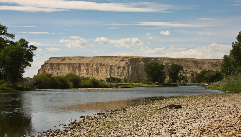
The
bluffs eroded by the river were visible to the west.
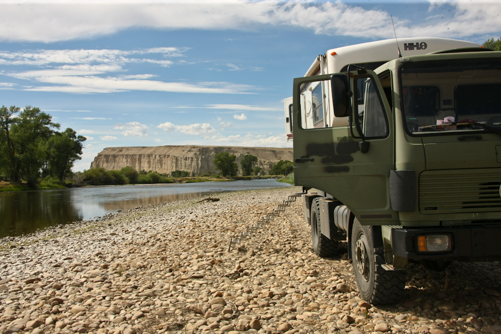
The
site was reasonably level and we settled in for the evening.
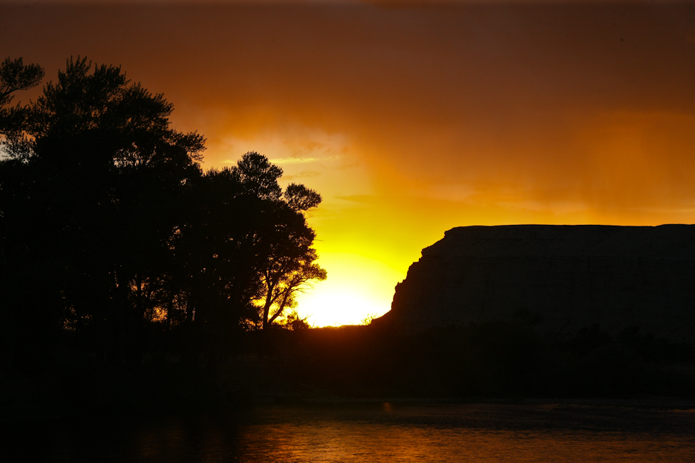
It
got dark and started to rain. It cleared briefly to allow a
view of an acceptable sunset beyond the bluffs.
The
setting sun rendered the scene in some subtle colors.
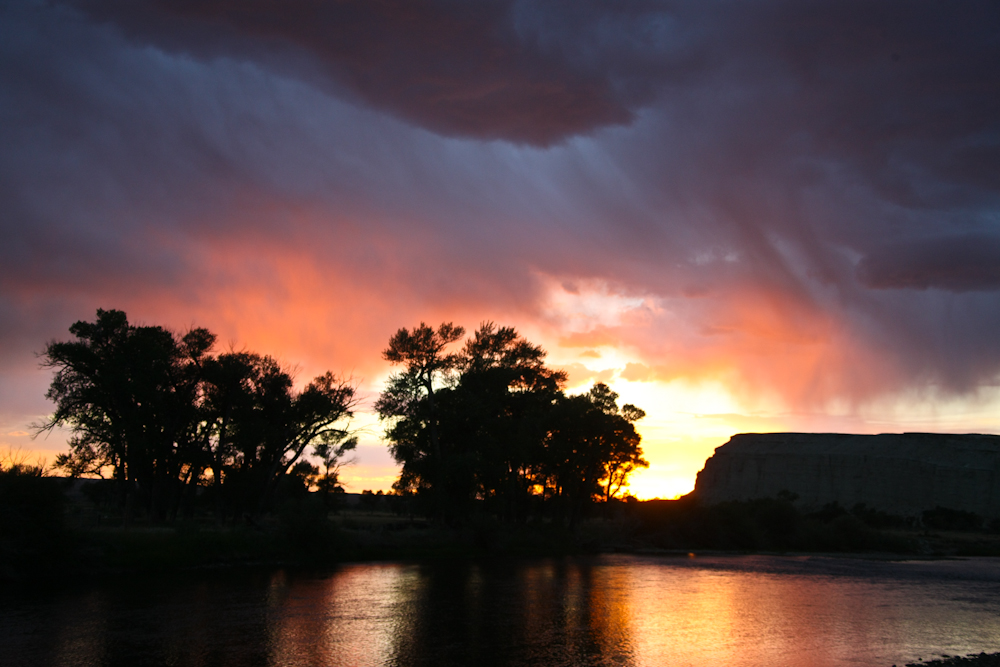
As
the sun continued to set the colors got deeper. The rain was
to the west of us, but coming our way.
As
the sun continued setting, I had to jack up the ISO setting of the
camera. The increased sensitivity revealed some additional
subtle colors. After sundown, it started raining again and
we were treated to a major electrical storm to the south of
us. The storm was close enough to be exciting but far enough
away to not be a concern.
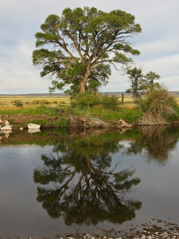
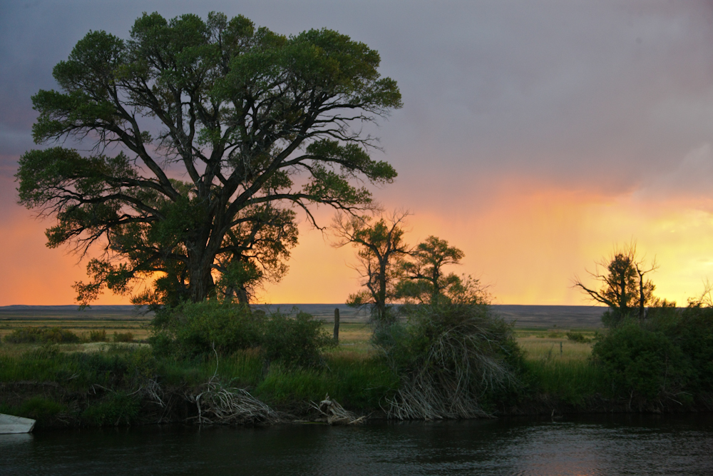
Next
morning, the winds were calm and the surface of the Platte River
was mirror smooth. I could hear fish jumping from inside the
camper.
The camp at the
Platte River was the bomb. The rain and lightning after dark
provided a perfect accent to a remote camp all by ourselves.
Next morning, we headed into Saratoga again for a nice breakfast
at the only restaurant in town then headed west on the dirt into
the mountains.
| Previous Adventure | ||
| Trip Home Page |
Photos and Text Copyright Bill Caid 2012, all rights
reserved.
For your enjoyment only, not for commercial use.