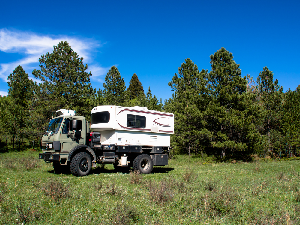
We spent the night at a remote campsite near Rock
Creek. We were all by ourselves and the site was nice. The
weather was good to us: not windy and it did not
rain. Rain, as it turns out, turns Montana dirt roads into
mush. We left Rock Creek and headed north.
The photos below are what we saw.
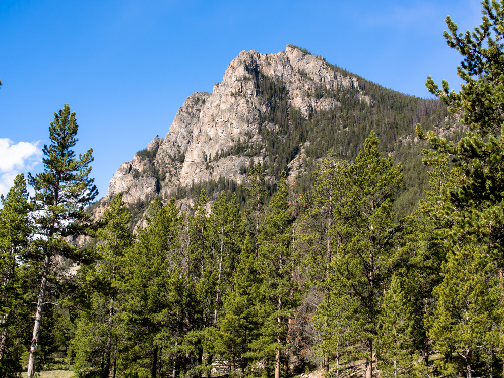
From our camp at Rock Creek we had a nice view of the steep
cliffs to the west.
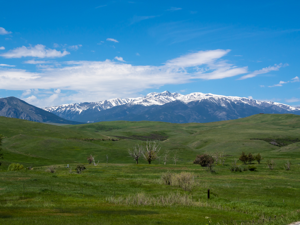
We traveled north to Red
Lodge, MT for a resupply. From Red Lodge, we headed west
along the north edge of the Beartooth range. Looking south from the road, we had a nice
view of the Beartooths.
The Beartooth range is
large, tall and rugged.
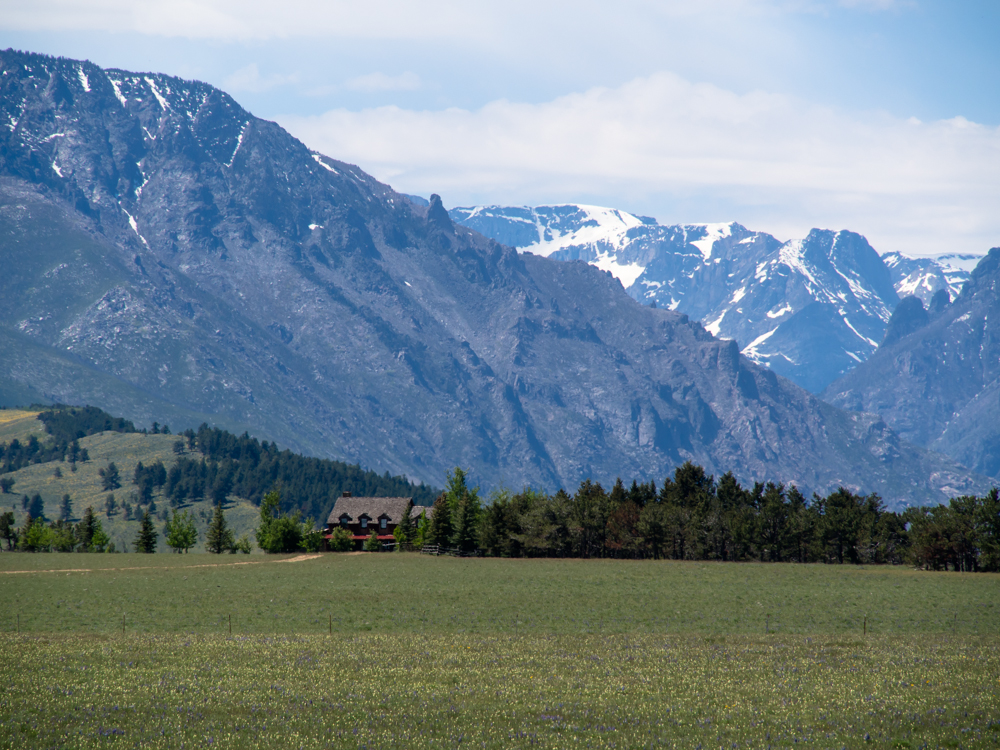
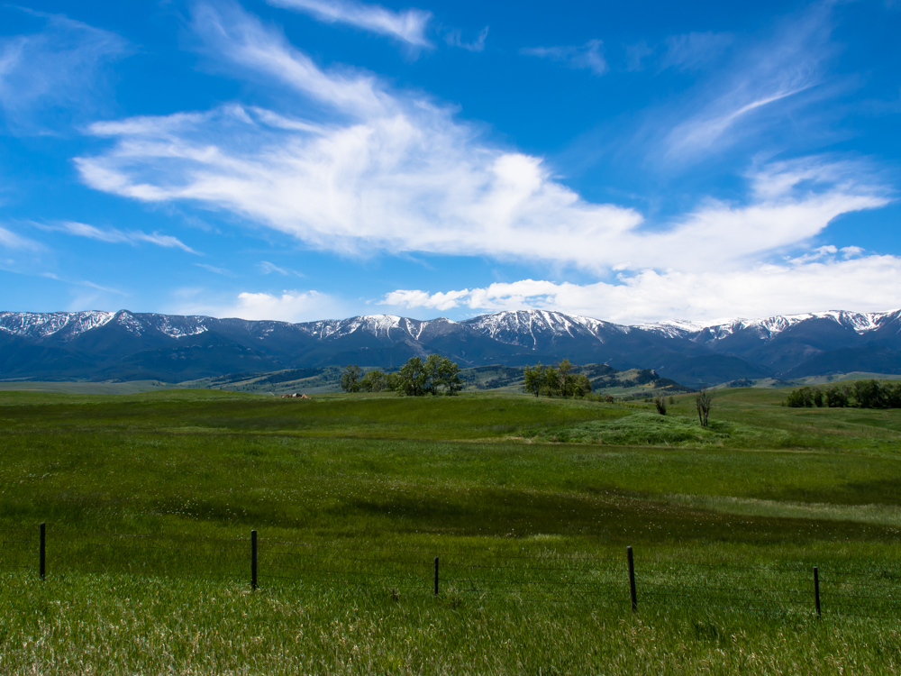
We saw some shacks along the highway, but this
was not one of them. This ranch clearly belongs to a city refugee. No self
respecting Montana rancher would live in a place like
this. But,
the view of the Beartooth canyons was off the chart.
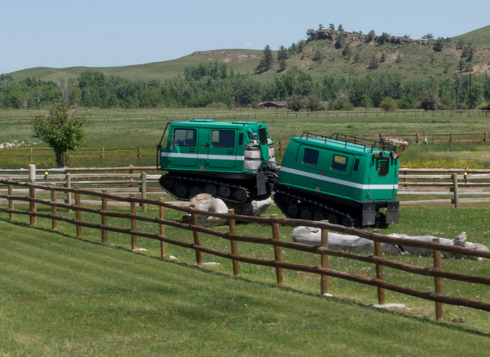
One of the ranchers along
the highway had a set of Hagglund
snow machines. This one was parked near the road,
but there were others
it his yard.
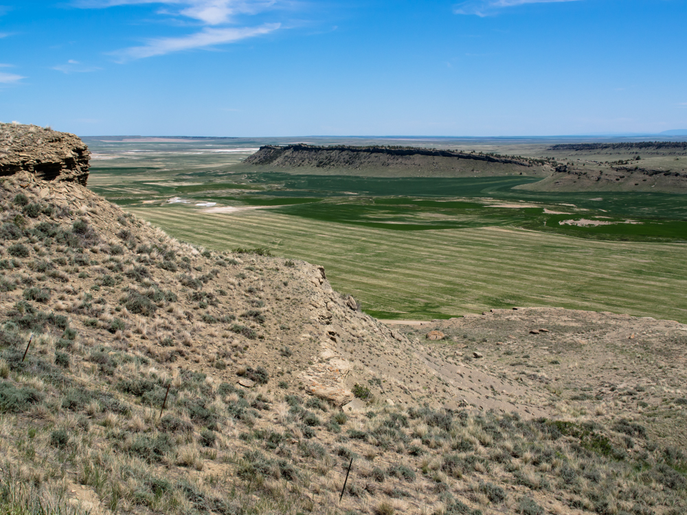
We continued north through
farm lands, and then headed up into the hills
on our way to Ryegate. From the lip of the cliffs,
we had a great view of the valley.
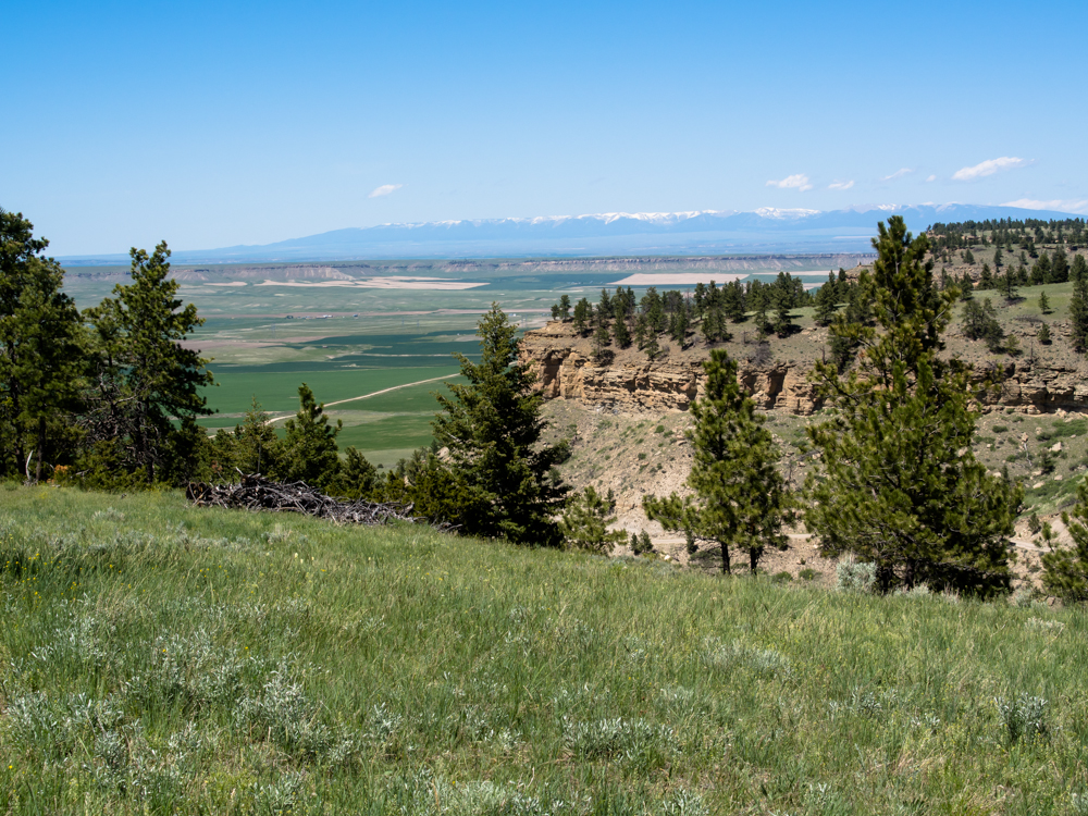
From the top of the mesa,
we could see into the
Big Coulee valley.
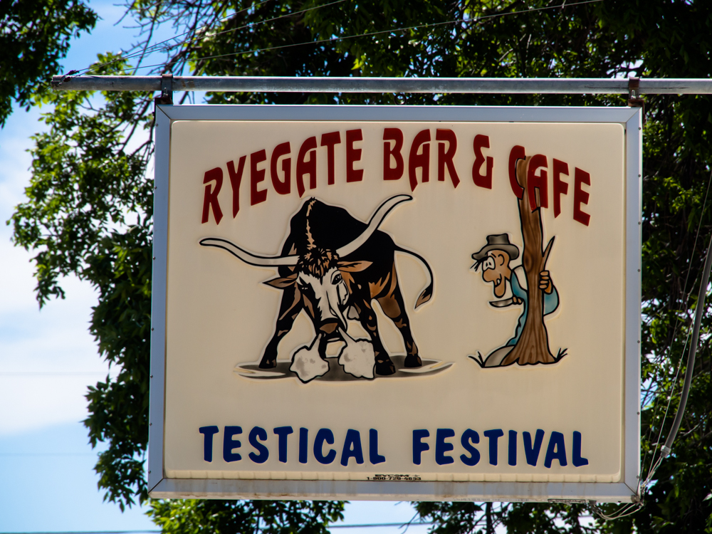
We spotted this sign in
Ryegate. This, of course, refers to changing bulls into steers.
It was nearing sundown and we were coming close to
the crest of
the Little Snowy
Mountains, so
we pulled
off the dirt into a nice meadow for the night.
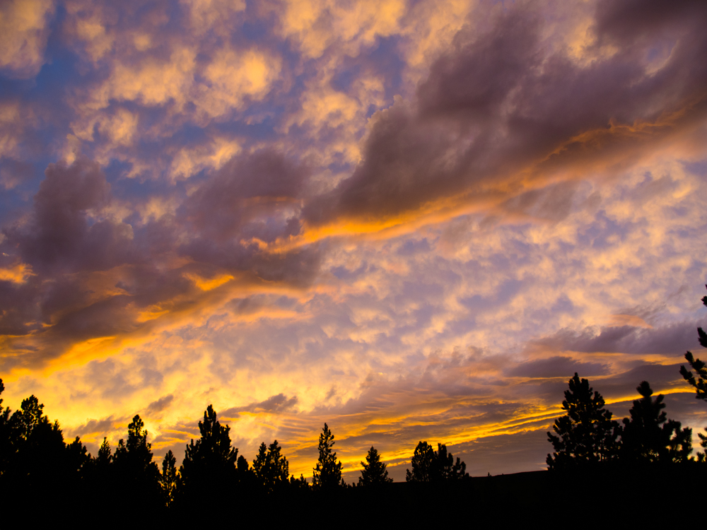
The leading edge of a
front was moving through the area but it did give us a
respectable sunset (for Montana anyway).
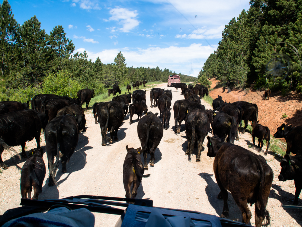
Despite the fact that we
were several hundred yards from the road, we were awakened
near dawn by the cracking of a whip and the bawling of
cattle. It turned out that our meadow was on the path of
a cattle drive. The herd passed us and several hours
later as we were making our way north, we passed them.
Another traffic jam, Montana style. The cattle could
care less about Thor and we literally had to nudge them out of the way to get
past. The truck with stock trailer in front of us had
already pulled through the herd and was driving away.
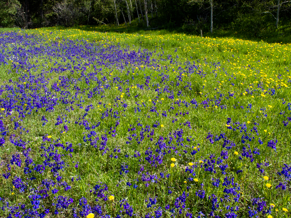
There was enough rain this
spring to bring out the flowers. This patch of purple was
particularly dramatic.
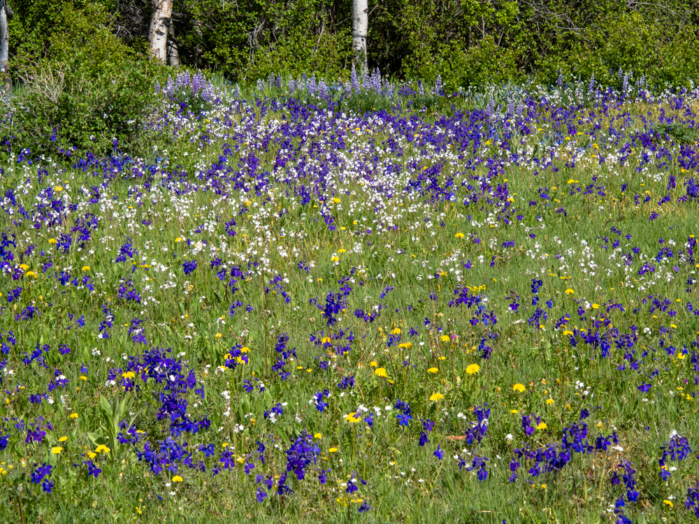
A short distance up the
road the purple flowers were intermixed with whites and
yellows.
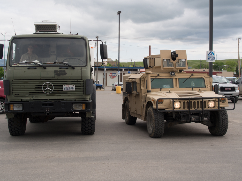
It was overcast and
threatening rain when we pulled into Lewistown, MT. We
stopped at the
Albertsons and
spotted this active-duty Humvee with 40mm canon in the
parking lot. Never one to pass up the opportunity for a comparison photo, I pulled
along site. This rig is used to provide
security for the many Minuteman missile sites that are
close. These are nuclear-armed
missiles, so security is rigorous.
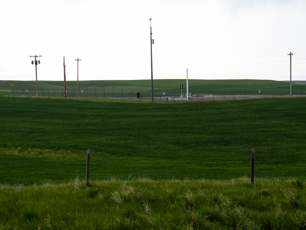
There were dozens of
missile silos in the area. We passed several but there is not much to see above
ground: just
some warning signs and a fence.
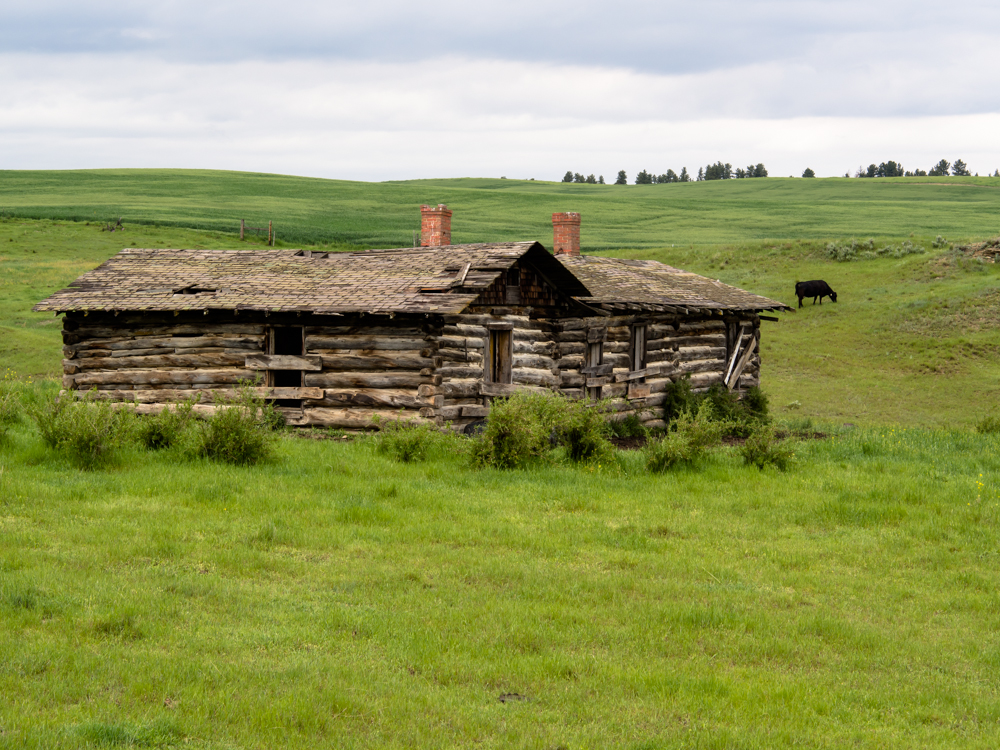
This was a hard way to
live "back in the day". Quite cold in the winter.
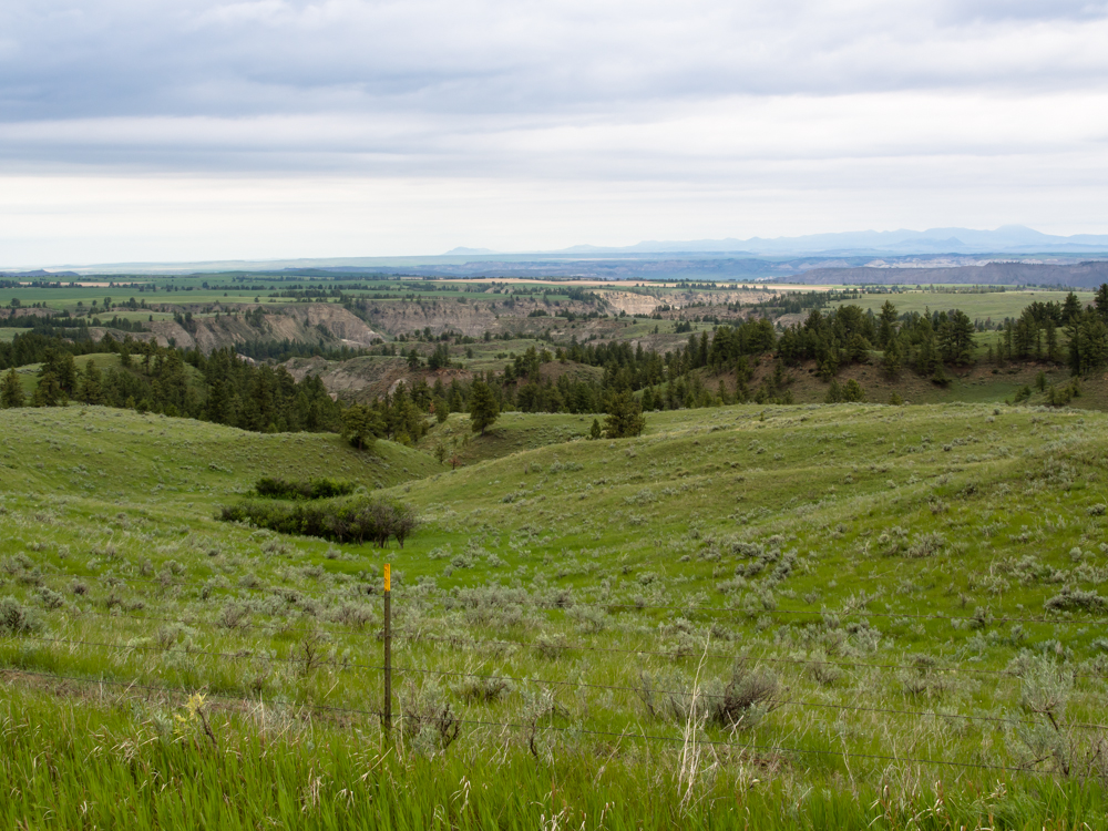
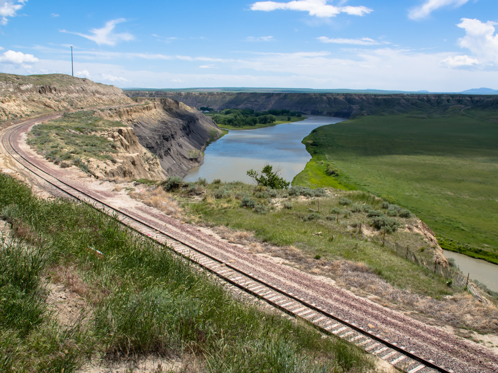
From the crest of the
hills north of Lewistown, we could see the Missouri Breaks: a set of
cliffs produced by the Missouri River and its local tributaries.
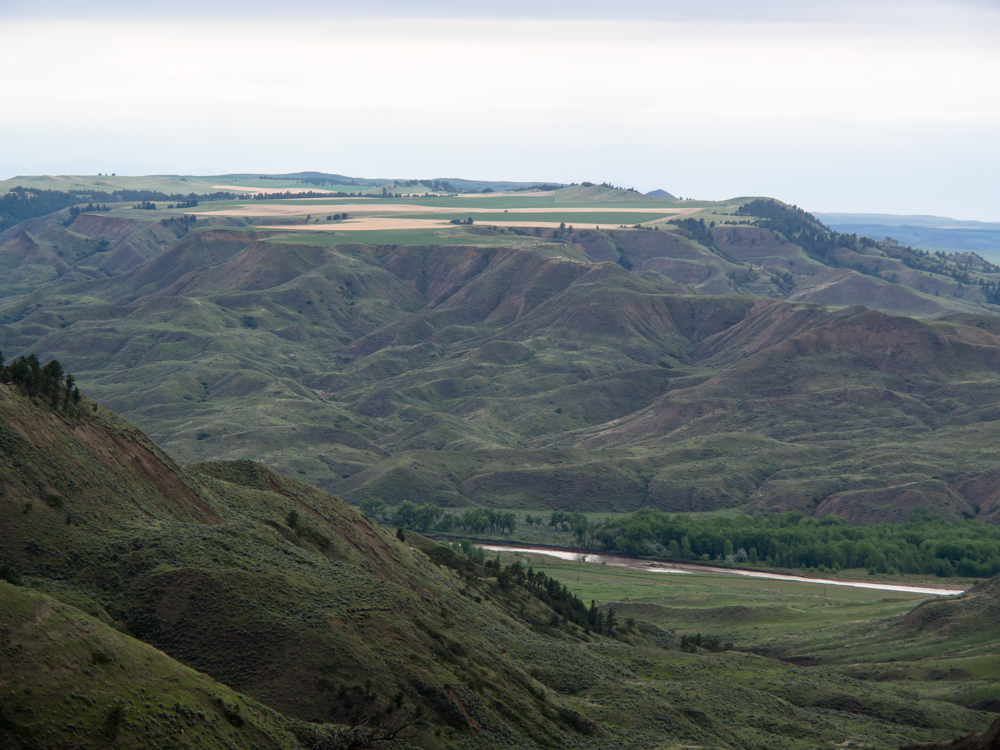
As the road descended into the river valley, we could
see the steep cliffs produced by erosion. The tops of the mesas all
had active farms.
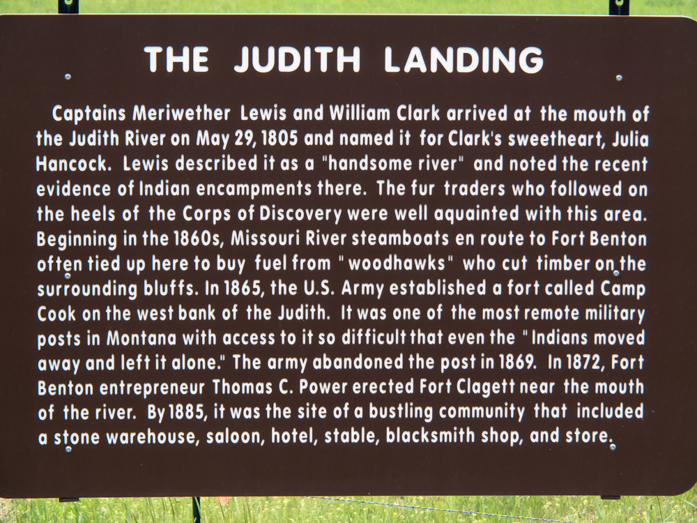
There was a historic
marker at the bottom of the canyon telling the story of Lewis
and Clark in this area.
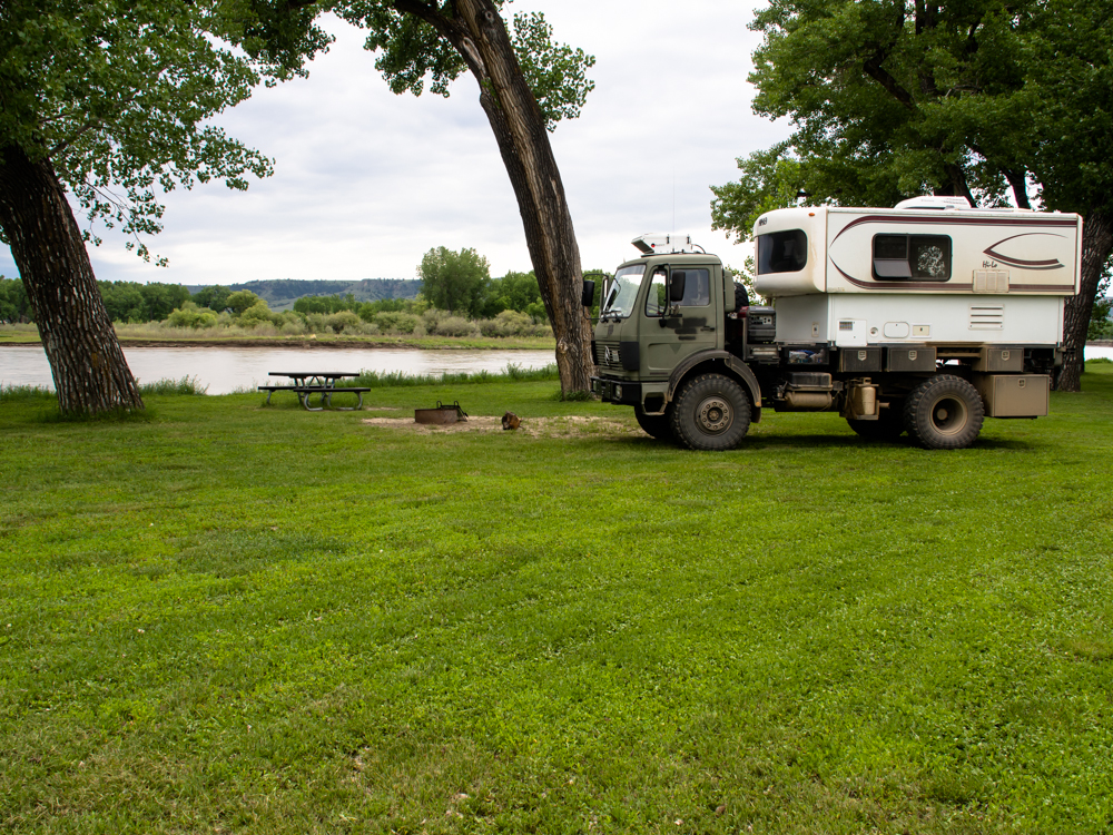
We followed the Judith
River to its confluence with the main Missouri to a camp area
called Judith
Crossing. There were a few folks there, but our area of the camp was
empty. The grass had been recently mowed and it looked like a
park. We were right on the banks of the
river.
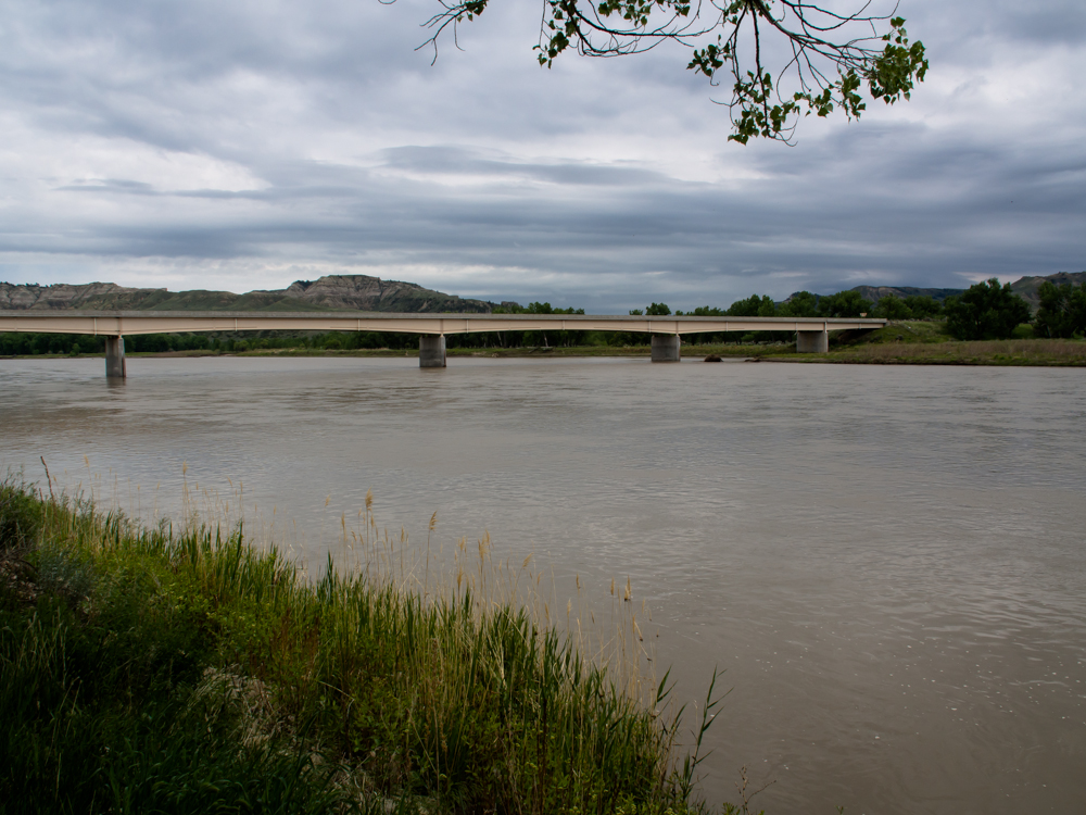
From our camp we had a
clear view of the so-called PN Bridge, named for the PN Ranch just across the river. The
PN Bridge is new and was very large considering the road was
dirt. But upon further consideration, I realized
that portions of the river develop ice flows and the
bridge has to be stout enough to handle the flows
crashing into the bridge pilings.
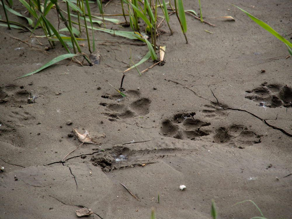
I looked over the lip of
the river bank to the soft mud along the bank and spotted these tracks.
The big one at the top center was about 4" across.
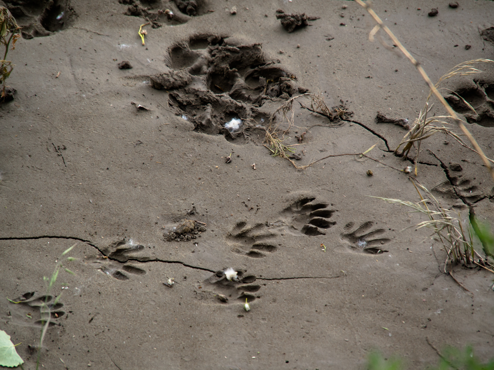
Kathleen and I guessed
that the small tracks were from a rather large raccoon.
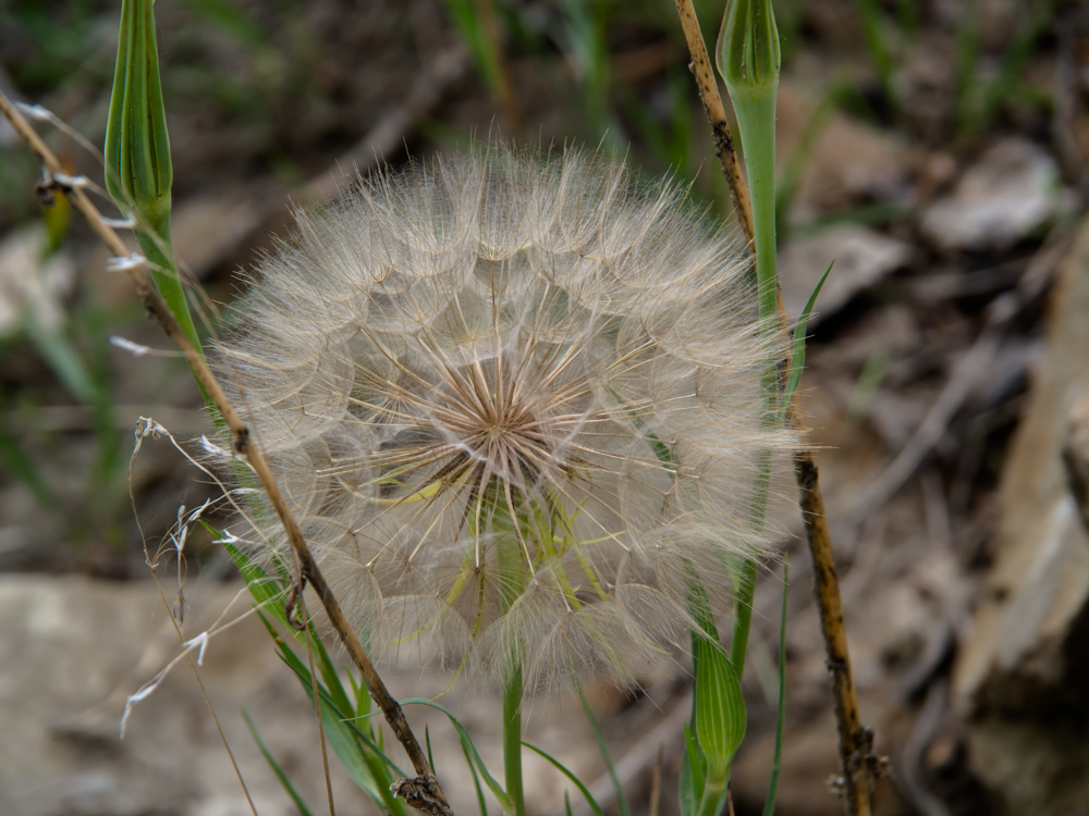
This dandelion bud was huge:
perhaps 6" in diameter.
There was a threat of rain
all night but it never really fully materialized. The 40 mile dirt road from
Judith Crossing finally turned into asphalt and we
were met by a pilot truck
waving a "wide
load" flag.
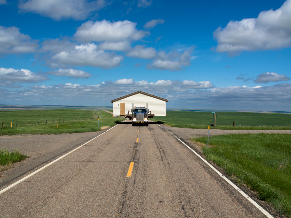
Usually
this
means a farmer hauling a tank or a trac-hoe,
but in this case it really meant a wide
load. Because the ditches along
side the road were steep
and muddy, the driver held his
position until we could get
onto the side road to allow him to
pass. This was a full-sized
house.
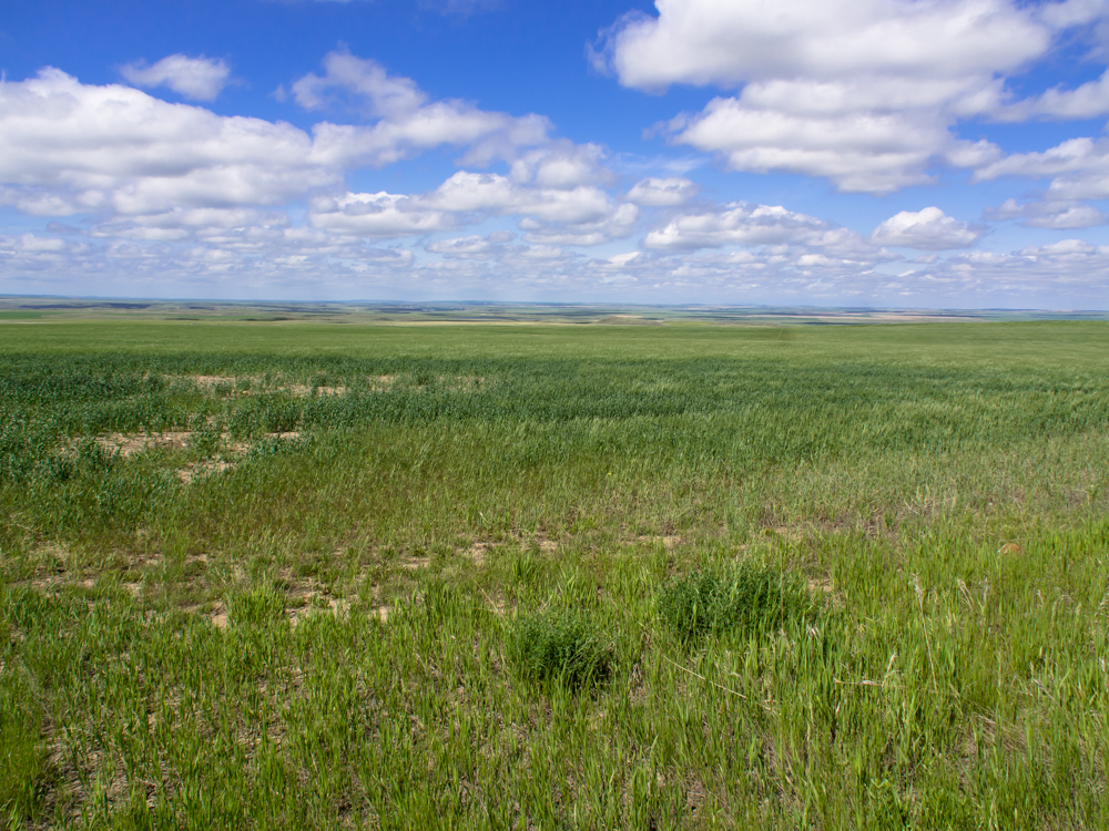
While we were waiting for
the house to pass, I did get a nice shot of the rolling prairies to the east of Big Sandy,
MT.
We went south from Big Sandy past Fort
Benton. Fort Benton was the upper-most point of steamship travel on the Missouri
River. Benton is just around the bend past the
island.
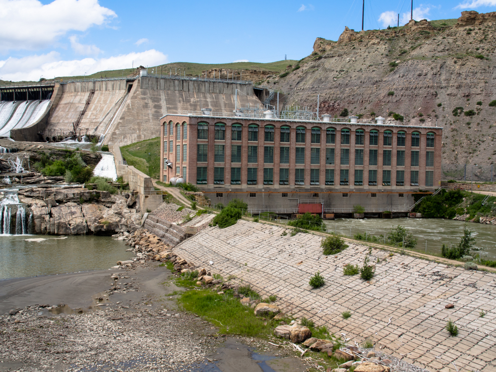
We saw a sign for the
"Great Falls of the Missouri River" so we went to
investigate. We found a vintage 1900s dam and powerhouse that was
still in use.
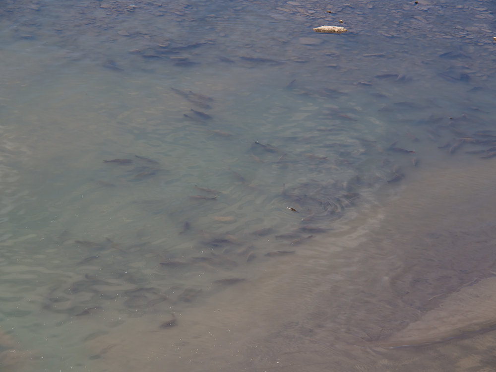
The tail race area was
filled with these huge fish.
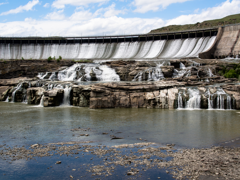
When Lewis and Clark first saw this area, the
entire flow of the river cascaded over these cliffs.
Now, the dam
holds back the
flow and forces
it through the powerhouse.
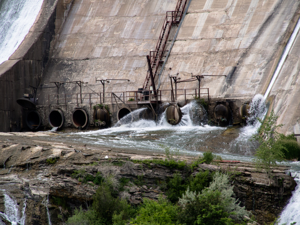
The concrete face is showing its age. I
think there is
some kind of leak coming out from the cap.
| Previous Adventure | ||
| Trip Home Page |
Photos and Text Copyright Bill Caid 2013,
all rights reserved.
For your enjoyment only, not for commercial use.