We spent one night at Bowman Lake and the
weather was refreshingly
nice. There were bugs, of course, but the wind had
abated. Next morning, we broke camp
and headed south with the eventual
destination of Grand Junction, CO.
The photos below are what we saw.
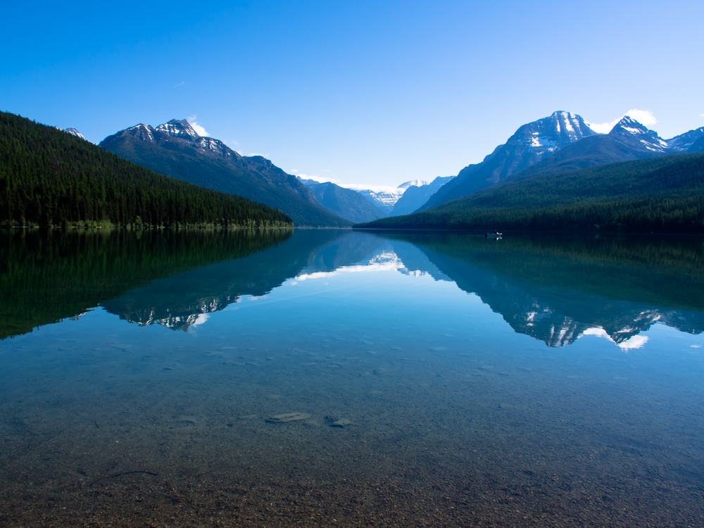
In
the morning, Bowman Lake was calm and there was only one
boat on the lake.
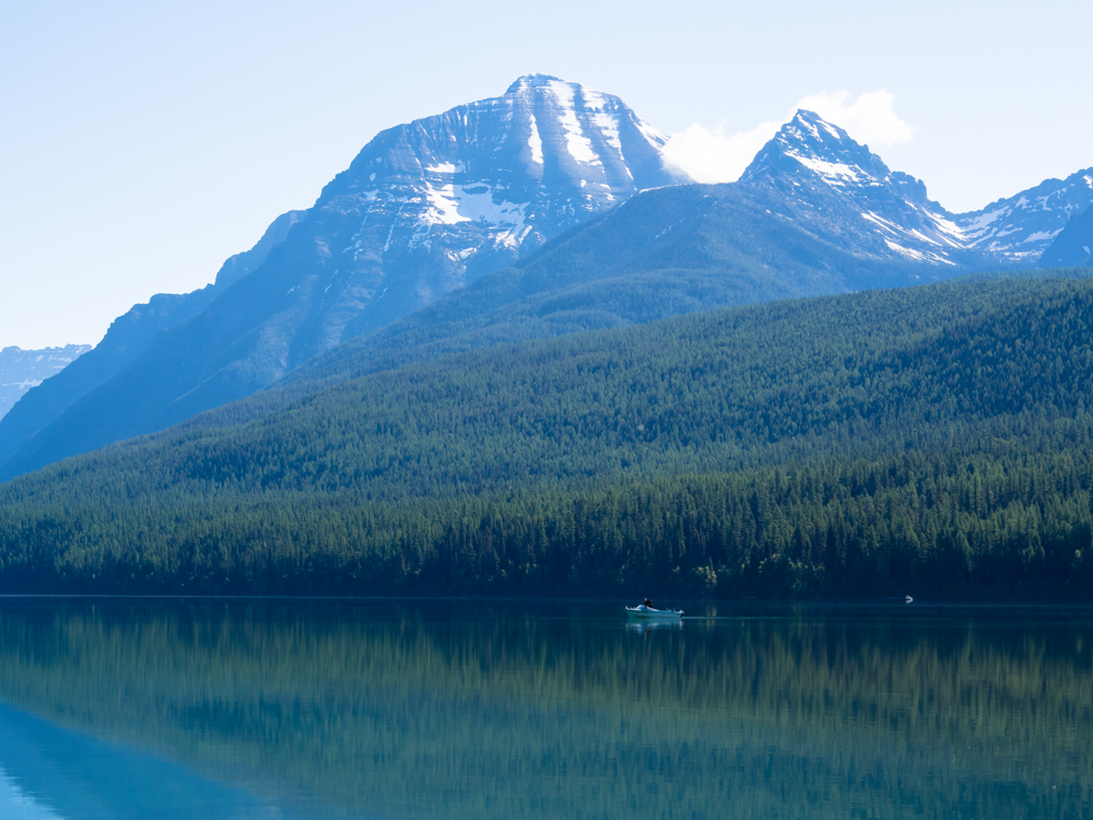
The high peaks were still snow covered but the snow cover was waning with
the higher summer
temperatures.
The ranger told us that there is an emergency trail
along the north side of Bowman Lake as an "escape route" if boaters
and canoers
have issues. He had no comment on the bear activity
in the area.
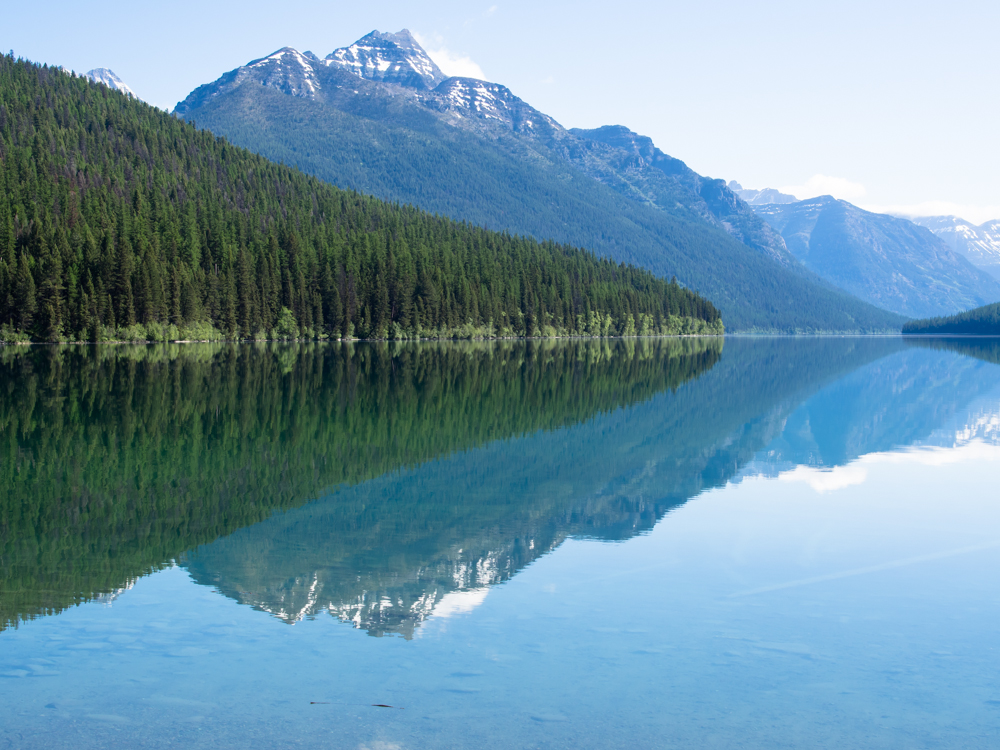
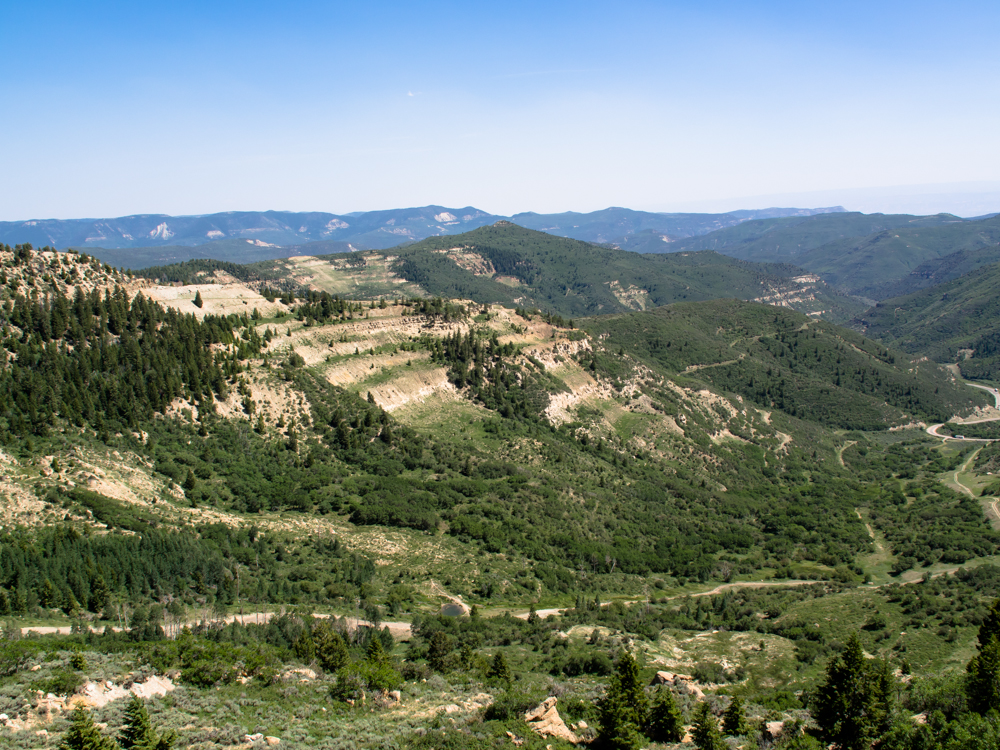
On
the 20 mile dirt road south from Bowman Lake we got nice
views of the higher peaks in Glacier National Park.
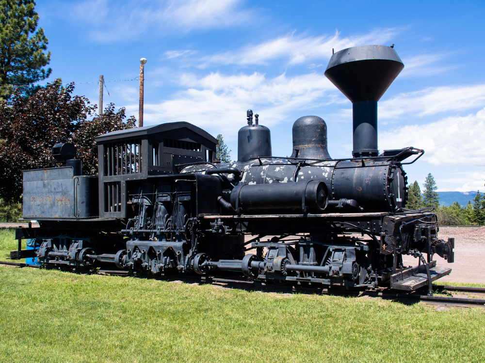
In
Columbia Falls,
we spotted this Shay Locomotive left over from the
logging days gone by. Note the gear-drive on the front and rear axles and the
vertical pistons.
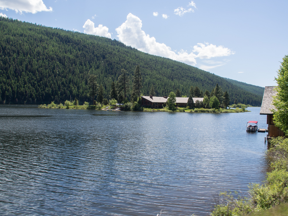
On
Seely Lake we spotted this fellow's house on an
island. Boat
required to access the home. Now that is living!
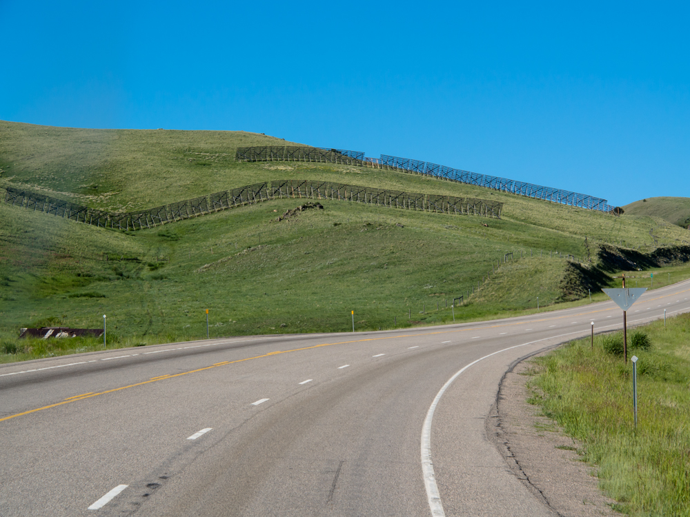
Heading
south on the highway
we went over a pass that had snow fence protection on both
sides of the road. The fence tells the story of
the intensity of the winter winds.
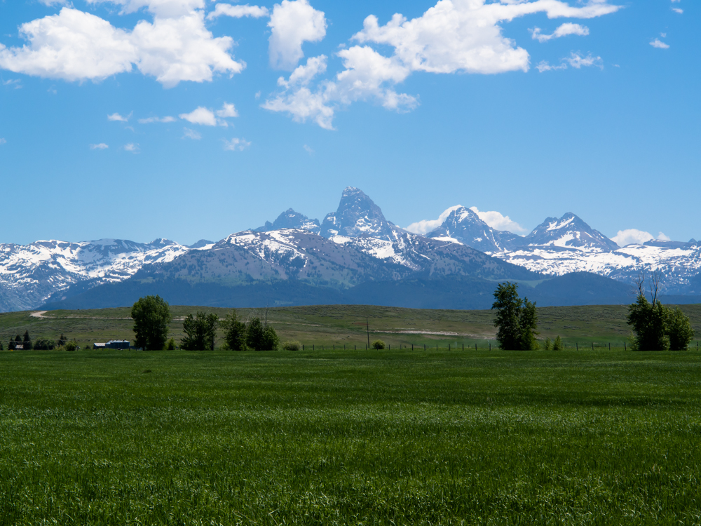
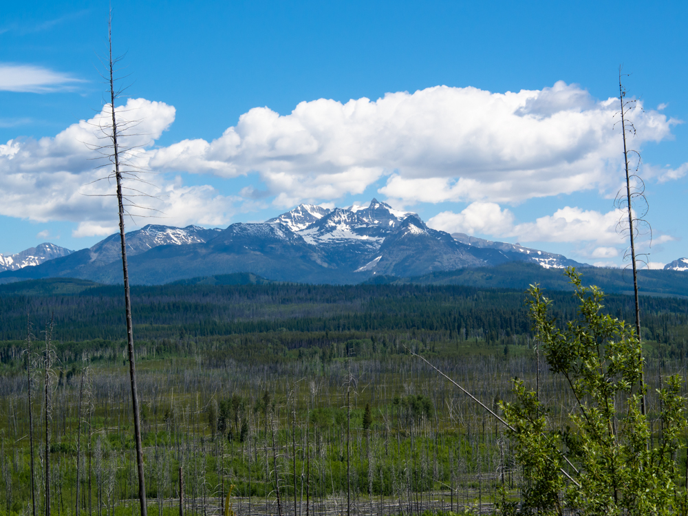
We approached the Grand Tetons on the west side and
got a nice view of the peaks from Tetonia.
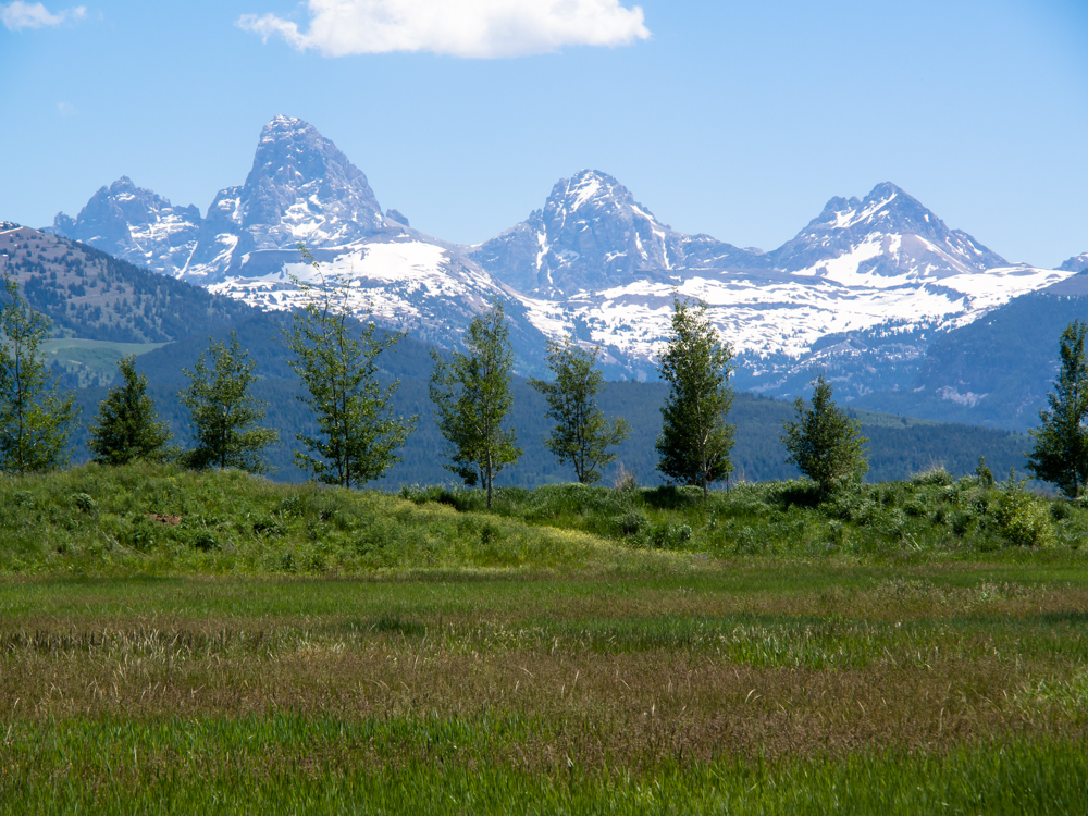
The
peaks of the Tetons are over 14,000 feet if my
memory serves me.
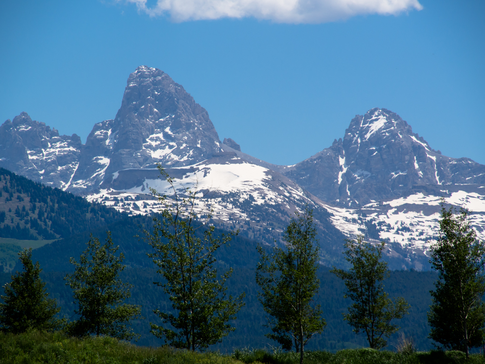
The
upper peaks are a challenge to ascend even in summer due
to the steepness.
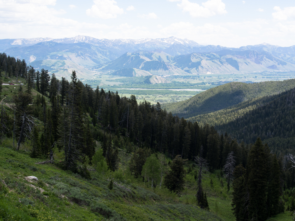
We
went over the very-steep Teton Pass into Jackson, WY. The steepness of the
grade required great effort on the uphill side and
great caution on the downhill side. From the
crest we
could see Jackson Hole below.
As
it turns out,
the night we chose to stay in Jackson was the first
night of "high
season" and room rates doubled. But, Kathleen
found a motel close to our chosen restaurant that was
reasonably priced.
We had dinner at Wild Sage. Wild Sage is a
four-star eatery
and it was well worth the $150 a plate price.
The cocktails
and wine were excellent
as were the main dishes. Next
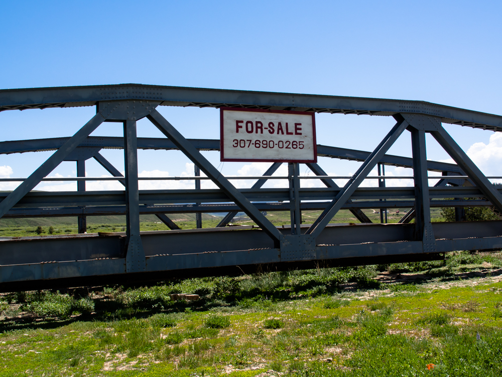
morning, we did a resupply
in Jackson and headed south toward
Piney. Along the way we saw
this retired bridge for sale.
If you want this bridge, I
have one in Brooklyn for sale that
you will also like.
We
had a pretty long travel day and ended up in Fire Hole in
Flaming Gorge. We elected not to stay in the organized
camp and headed south along the lake front on the
dirt road. From our camp we could see
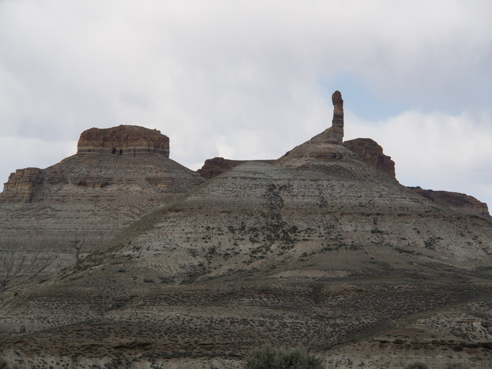
some of the better formations in the canyon.
We chose
our camp specifically to be alone. That turned out to be the
case for about 3 hours. Around sundown Jed and
his buddies came in and spent the night about 40
meters from us. Jim, Jack, Johnny and Old Grand
Dad were invited as well. They passed out
about 0200 and were not so happy about our
0800 departure. But, I figure that what
comes around goes around. Before they
showed up, I got this shot of Thor
against the walls of Flaming
Gorge.
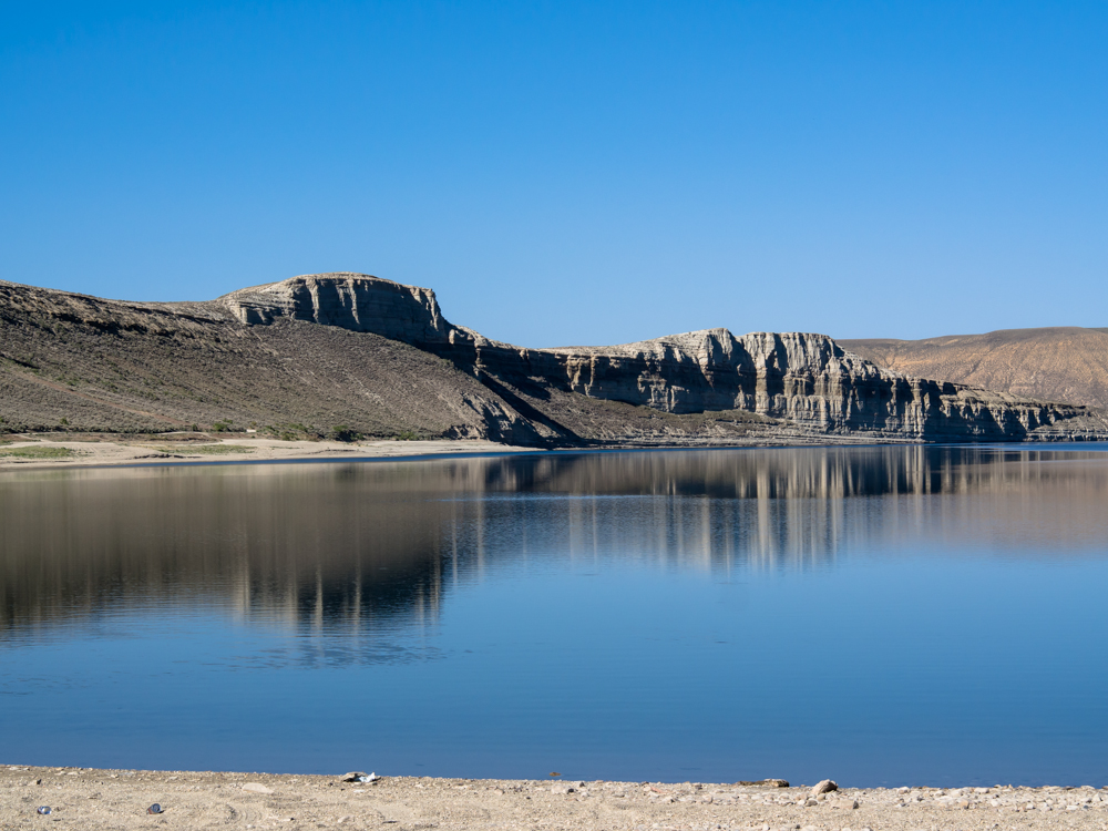
Next
morning the strong winds abated and provided a smooth surface of the lake
for a nice photo of the distant cliffs.
We headed south past Dutch John, UT and over the Uinta range into
Vernal, UT.
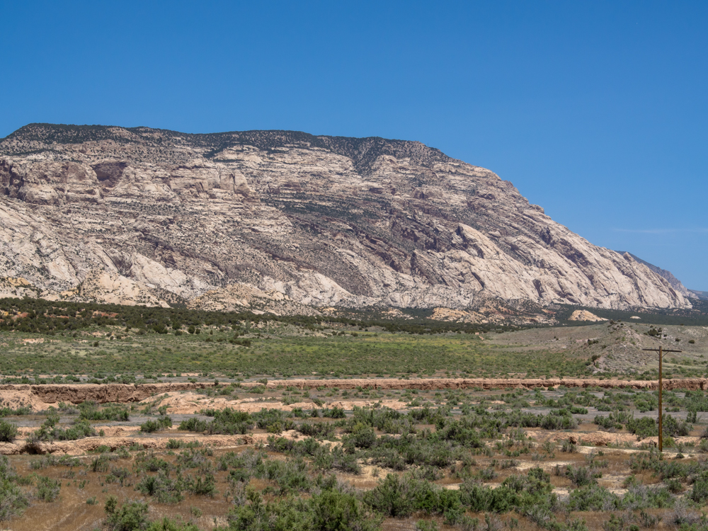
We ate in
Vernal and then headed east past the Dinosaur
monocline.
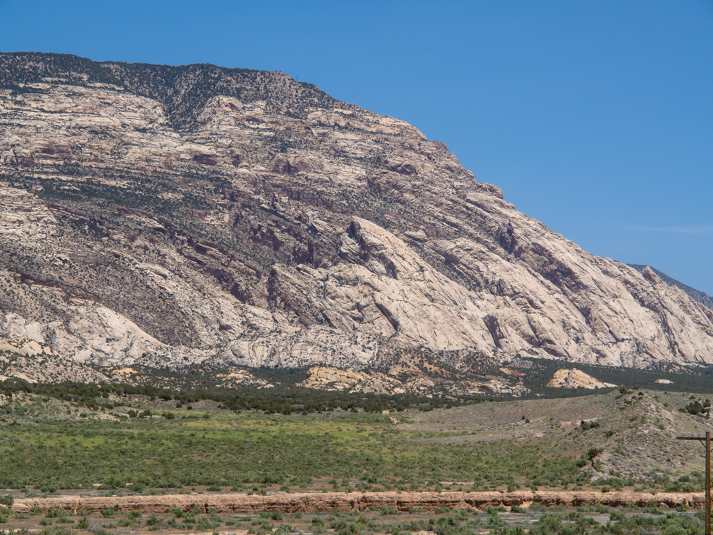
The
monocline exposed softer layers of rock to erosion
producing interesting canyon features.
We
turned south at
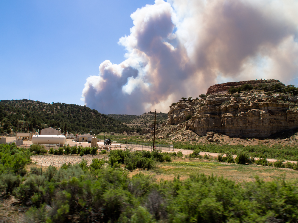
Rangely, CO toward Grand Junction. We spotted
smoke on the horizon about an hour before we hit Rangely.
Our path took
us pretty close to a fire that was burning out of control
in the
high winds. Note the structure in the
lower left of the photo? That is a
natural gas compressor station. We saw
plenty of workers positioned strategically
along the boundaries of the pipeline
facilities as the
miles passed. I am guessing they
were awaiting orders to shut things
down if the fire was
in danger of engulfing the
facilities.
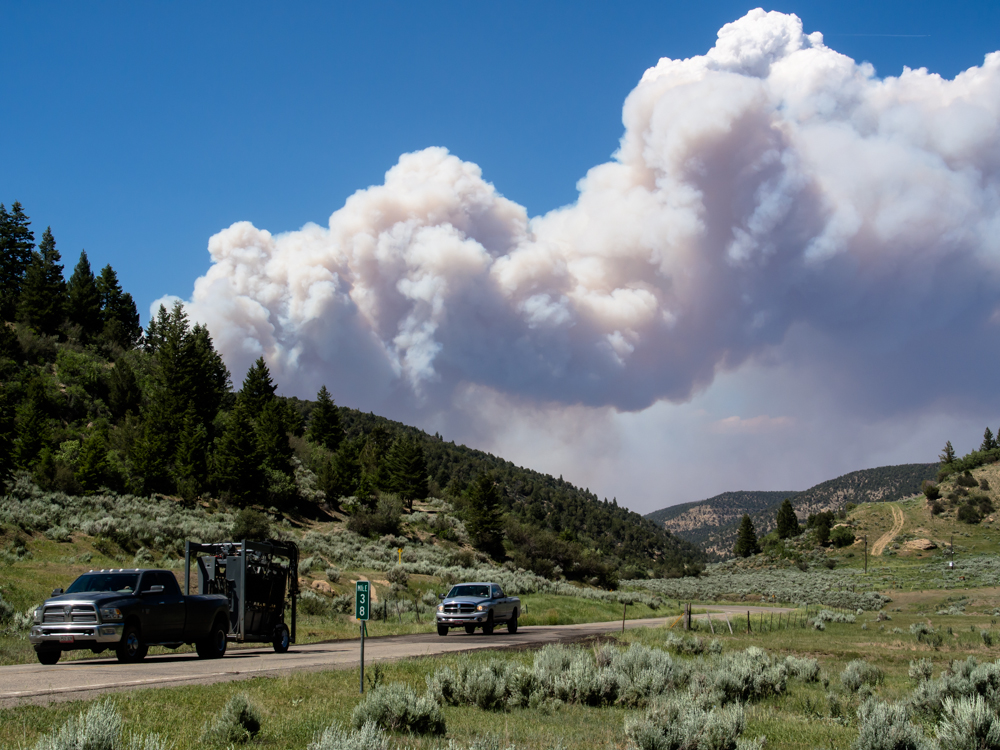
Once
we got past the
leading edge of the fire, I pulled over for a better photo of the
fire. The lead truck has some kind of oil field equipment in tow.
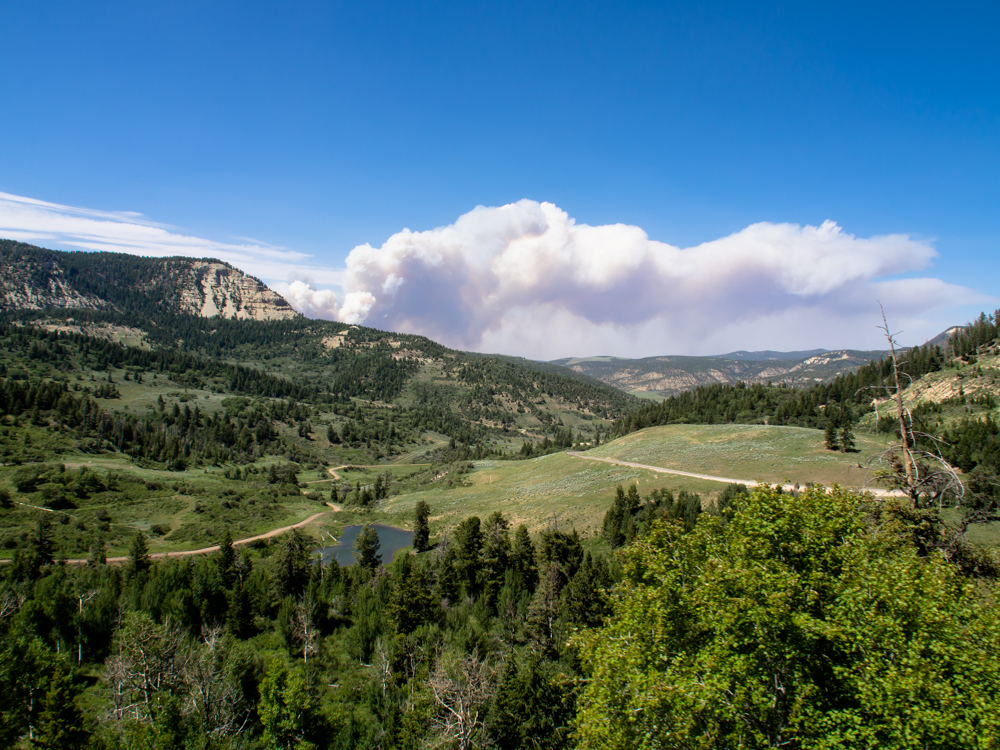
The road took us over a 8200 foot pass
and from the grade we could see the smoke plume from the fire.
From the
crest of the pass we could see the steep grades of the south
side. The road was intense, requiring 3rd gear (of
5) at some
points on both
the up and down slopes. The road was built to
support
the oil and gas production south of Rangely.
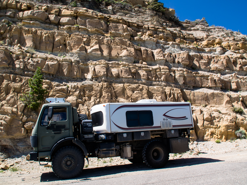
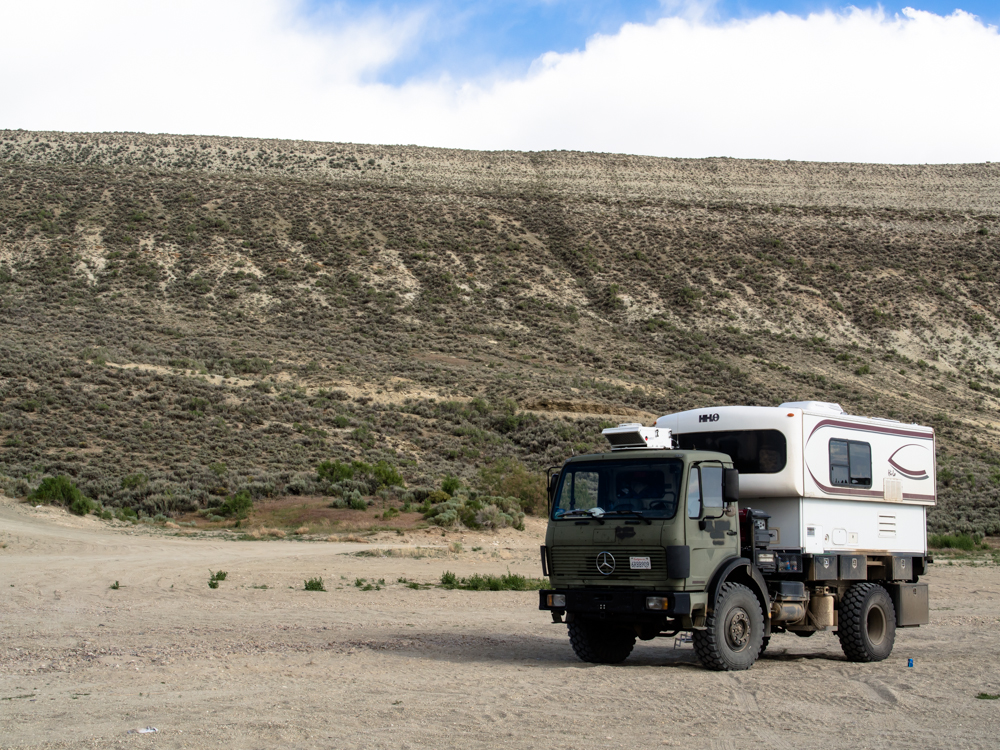
From
the crest, Thor
looks wimpy against the cliffs of the road cut.
| Previous Adventure | ||
| Trip Home Page |
Photos and Text Copyright Bill Caid 2013,
all rights reserved.
For your enjoyment only, not for commercial use.