The photos below are what we saw.
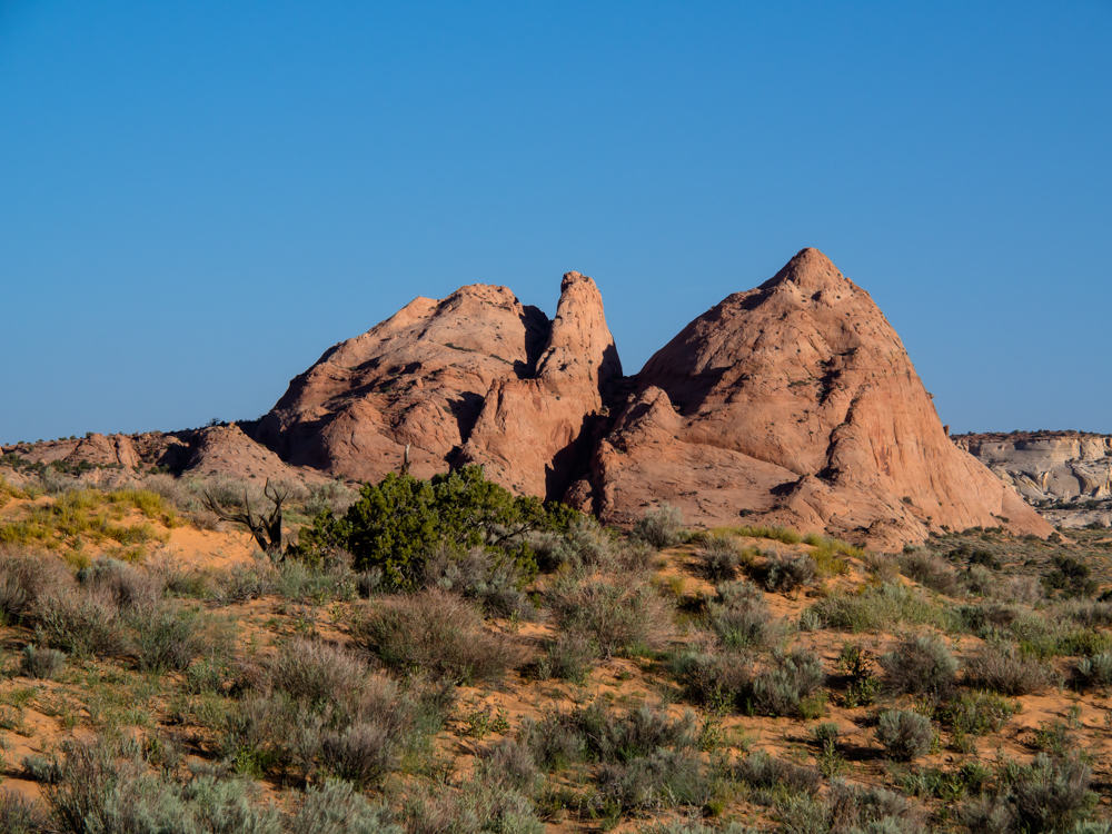
To the
west of our campsite at Spencer Flats was a nice sandstone
monolith formation.
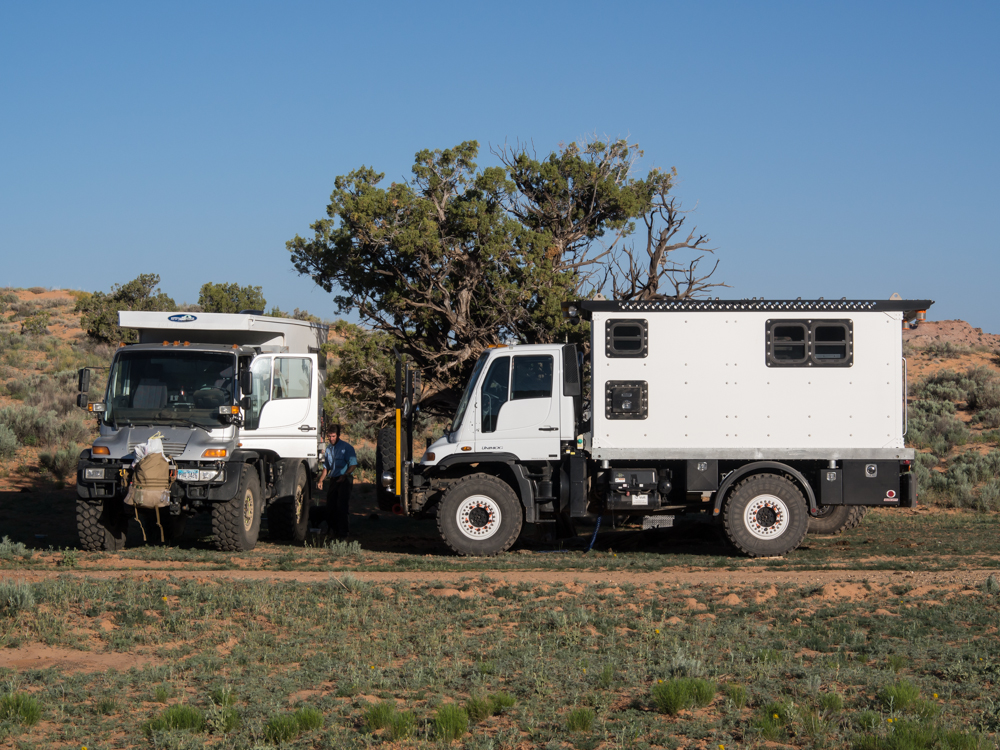
Group
members were busy packing for departure. Above (left) is
Chris' rig and right is Vince's longer wheelbase U500.
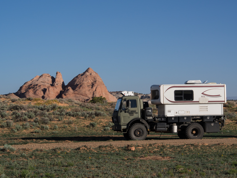
Our truck,
Thor, with the monolith in the background.
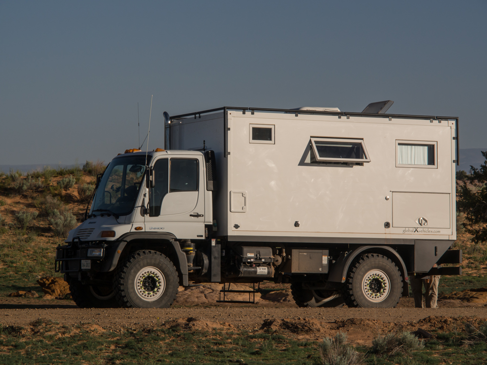
Mark and
Gail's GVX U500.
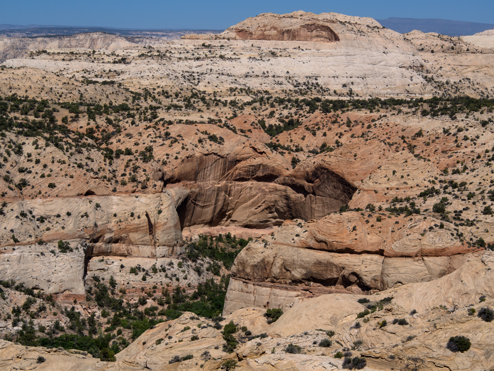
Calf Creek carved an awesome canyon that was
visible from UT-12 as it traverses Hell's
Backbone.
Several of the alcoves
carved by Calf Creek were world-class.
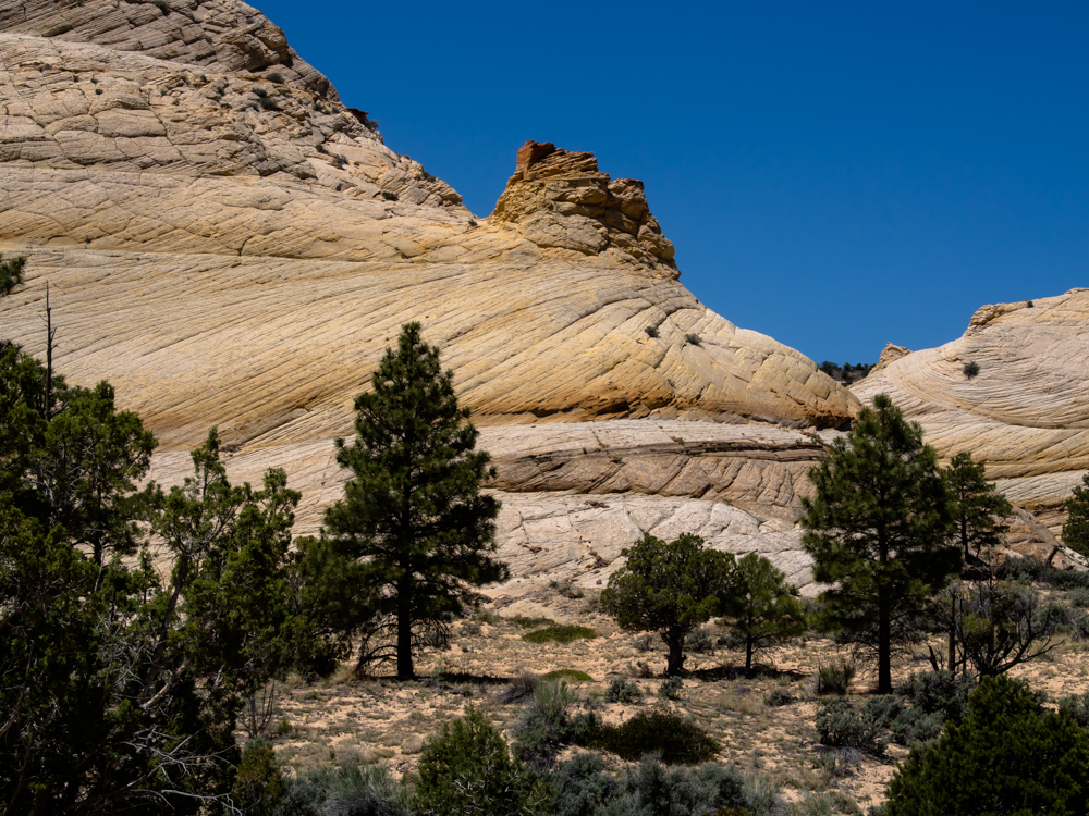
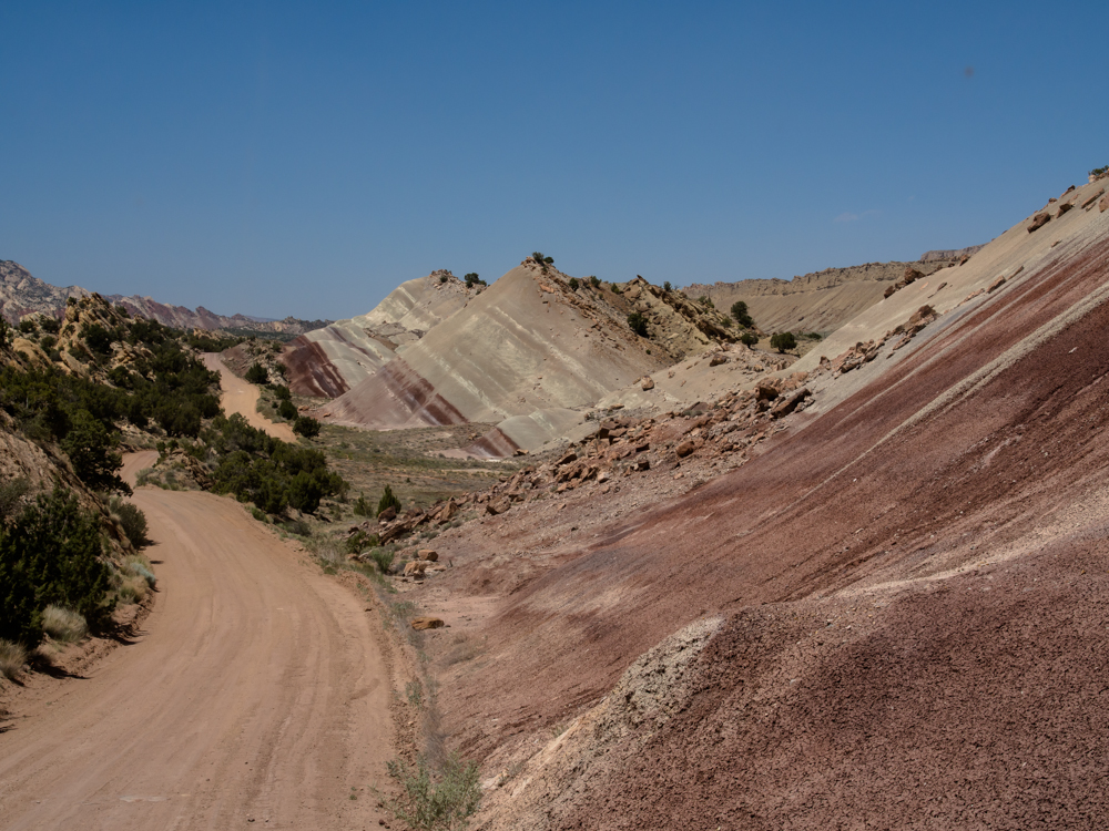
We got diesel, ice, fresh water and lunch in
Boulder
and then headed down the Burr Trail. Visible were
huge monoliths with complex exposed bedding.
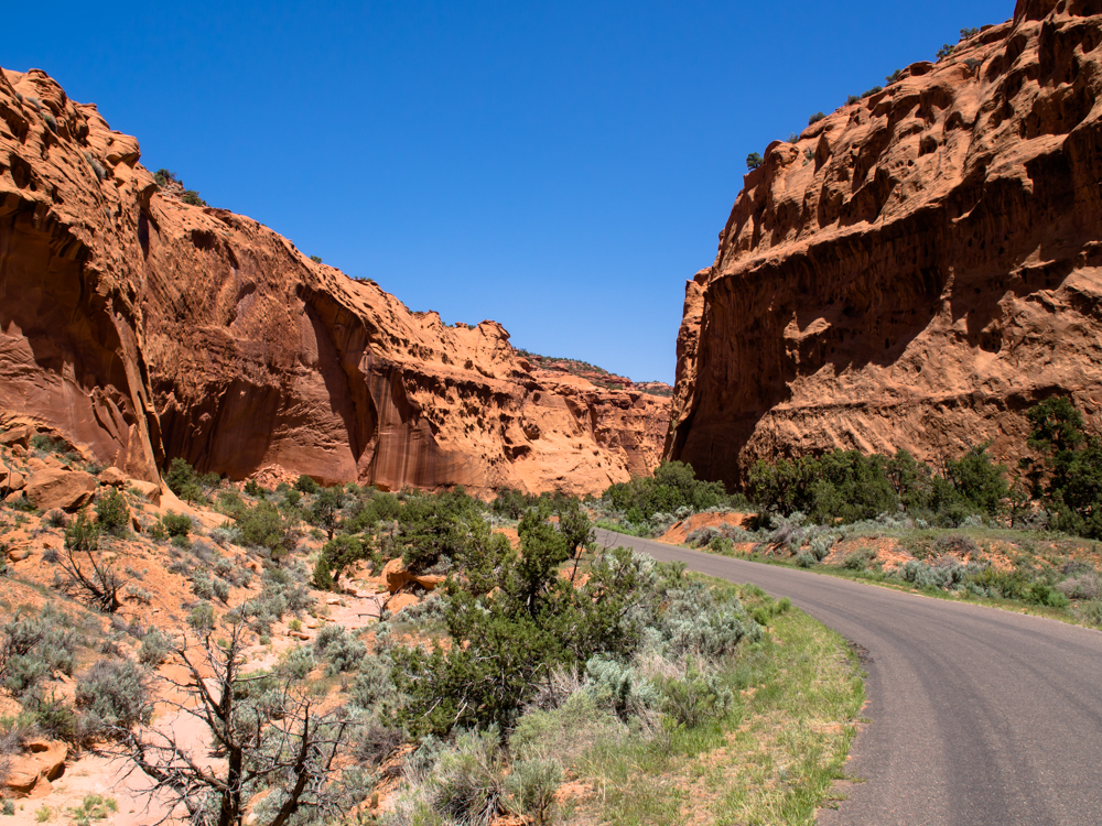
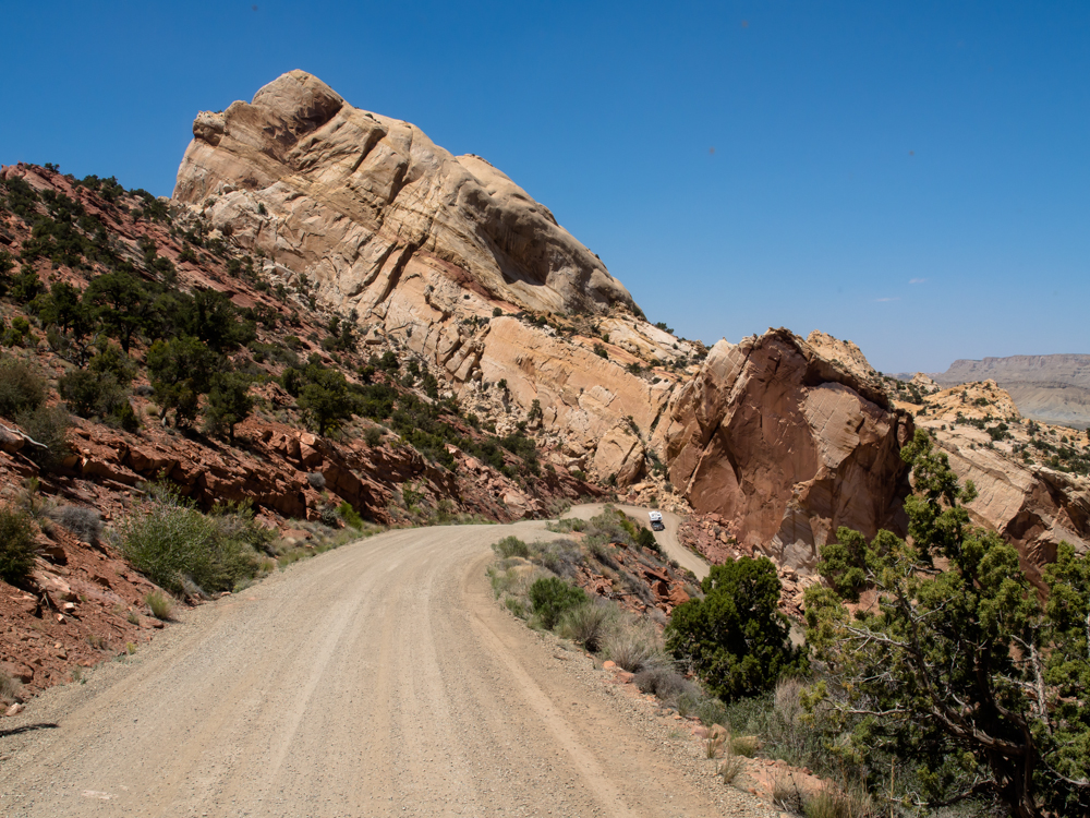
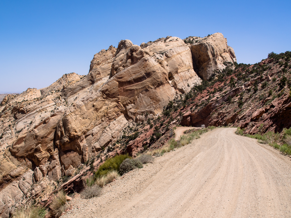
The road goes down a
narrow canyon surrounded by high sandstone walls.
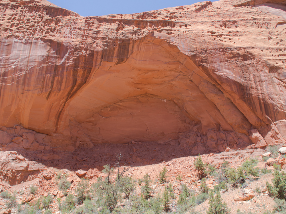
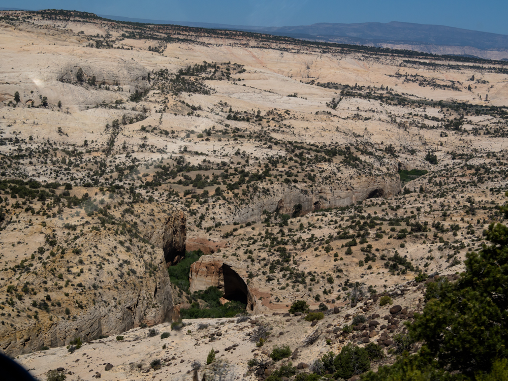
This large alcove was right
next to the trail.
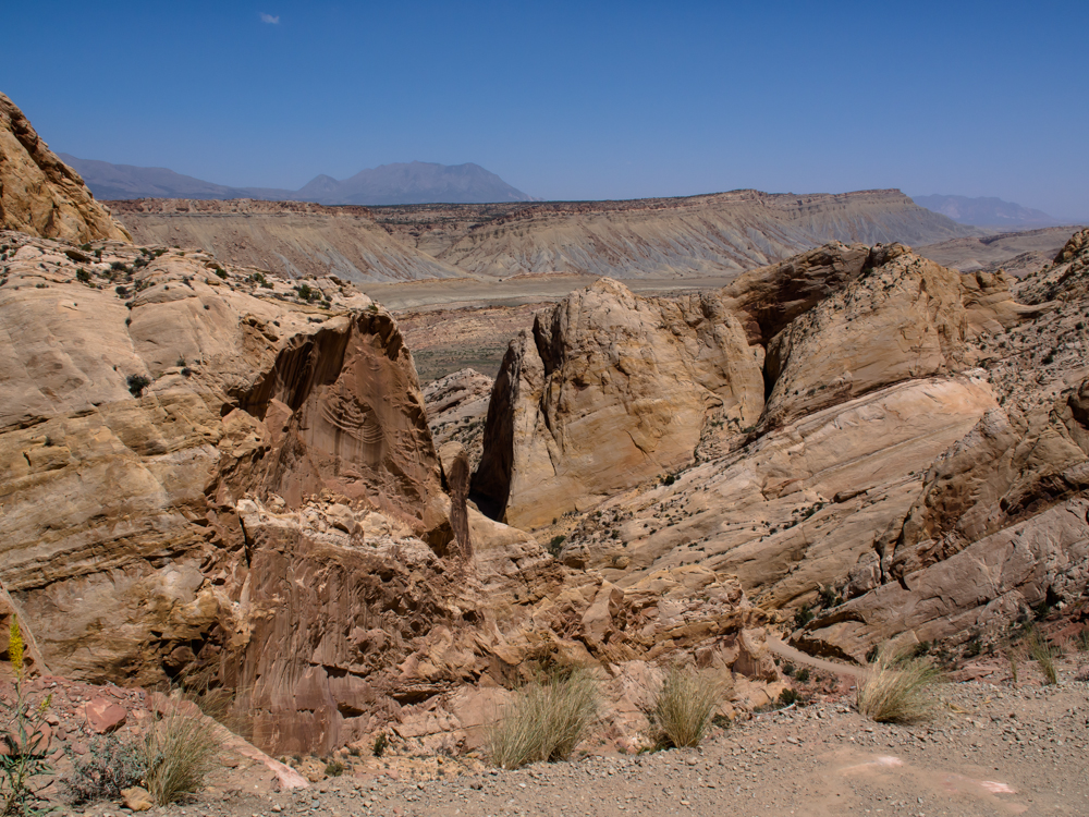
This dramatic view
presented itself before the road descended into Capital
Reef. The colors in the rocks were vivid and bright.
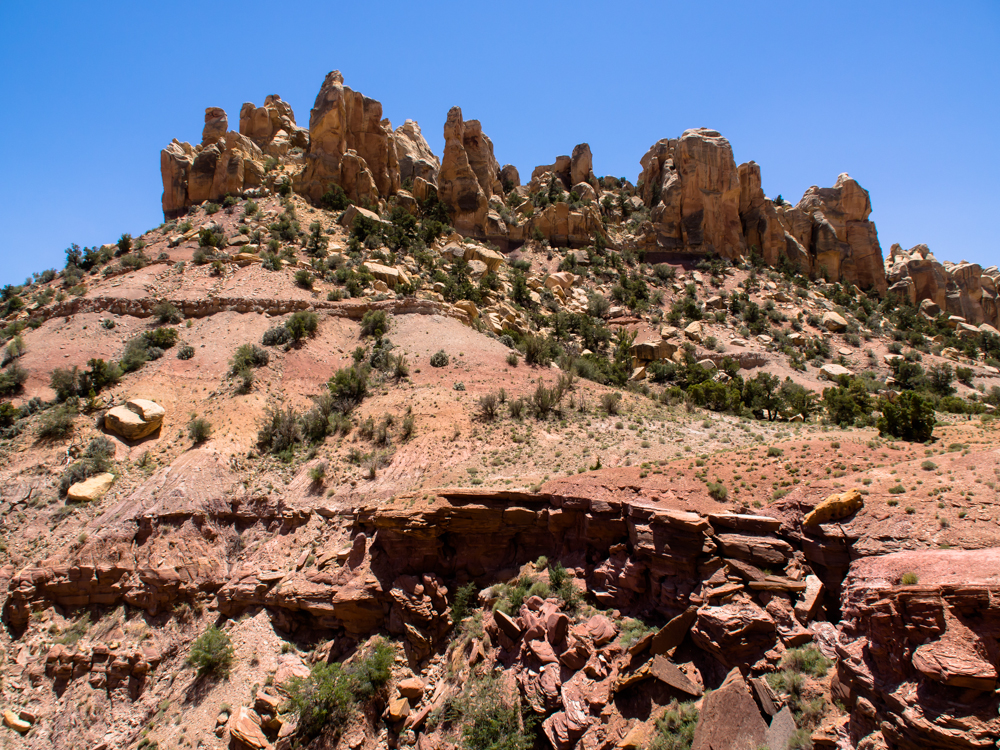
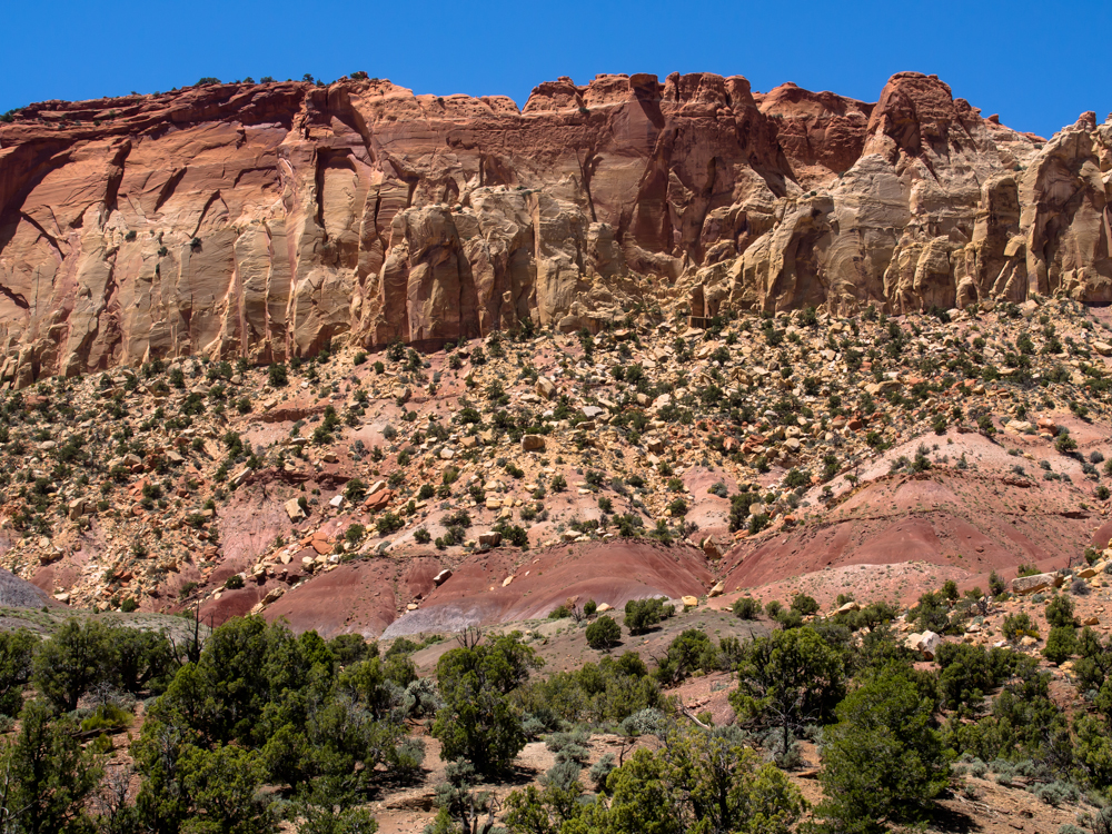
The cap rock had been eroded
into multiple pinnacles
and hoodoos.
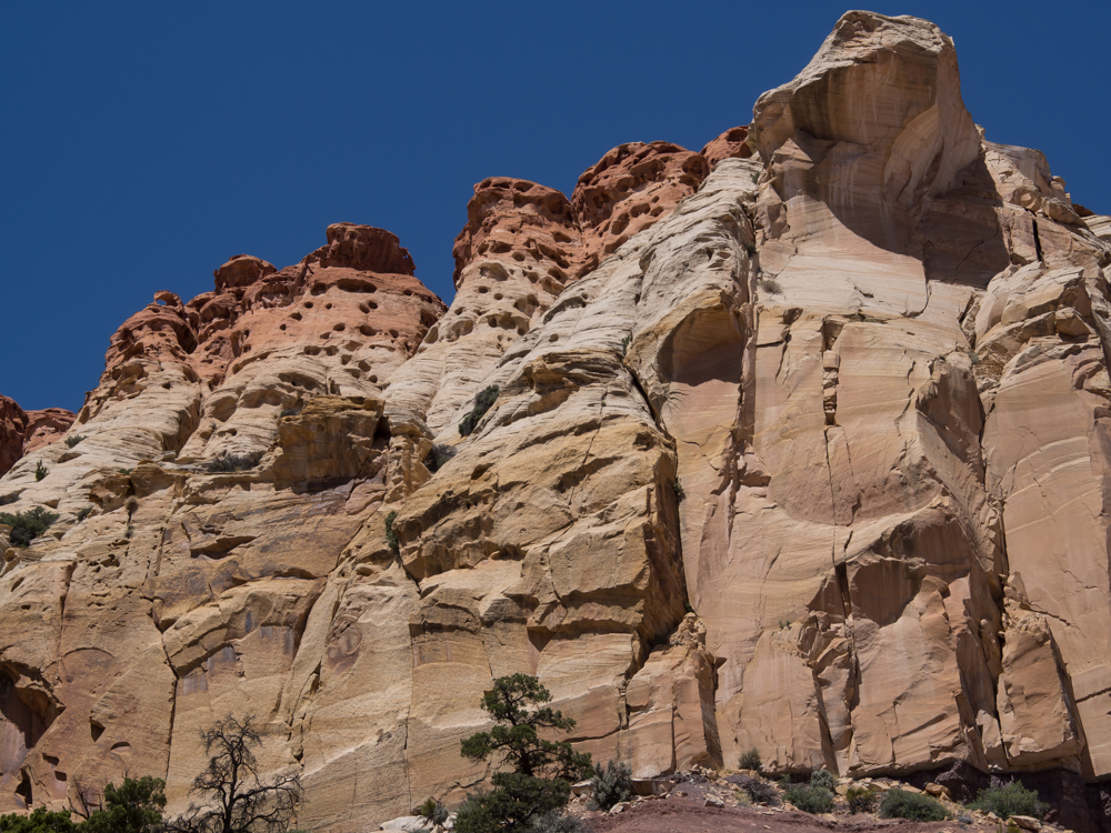
The cap
rock formations had interesting wind erosion cavities.
The fault that produced
this cliff ran for more than 30 miles.
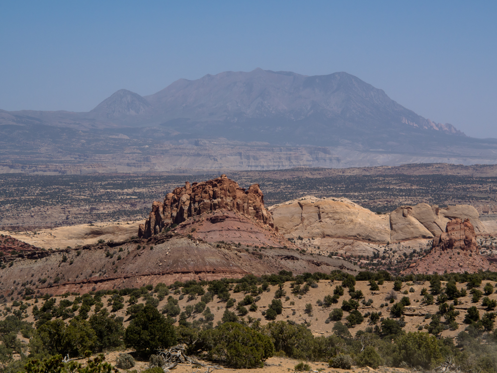
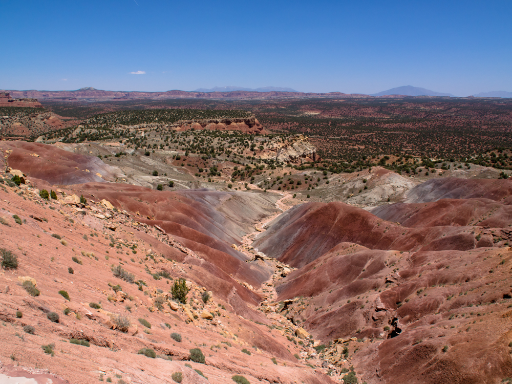
The Waterpocket Fold
monocline resulted in a long, nearly straight line of large
cliffs. Visible in the distance are the Henry
Mountains.
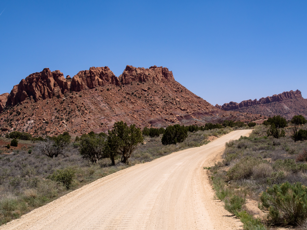
These ridges mark the
start of the descent into Capital Reef via the Muley Twist grade.
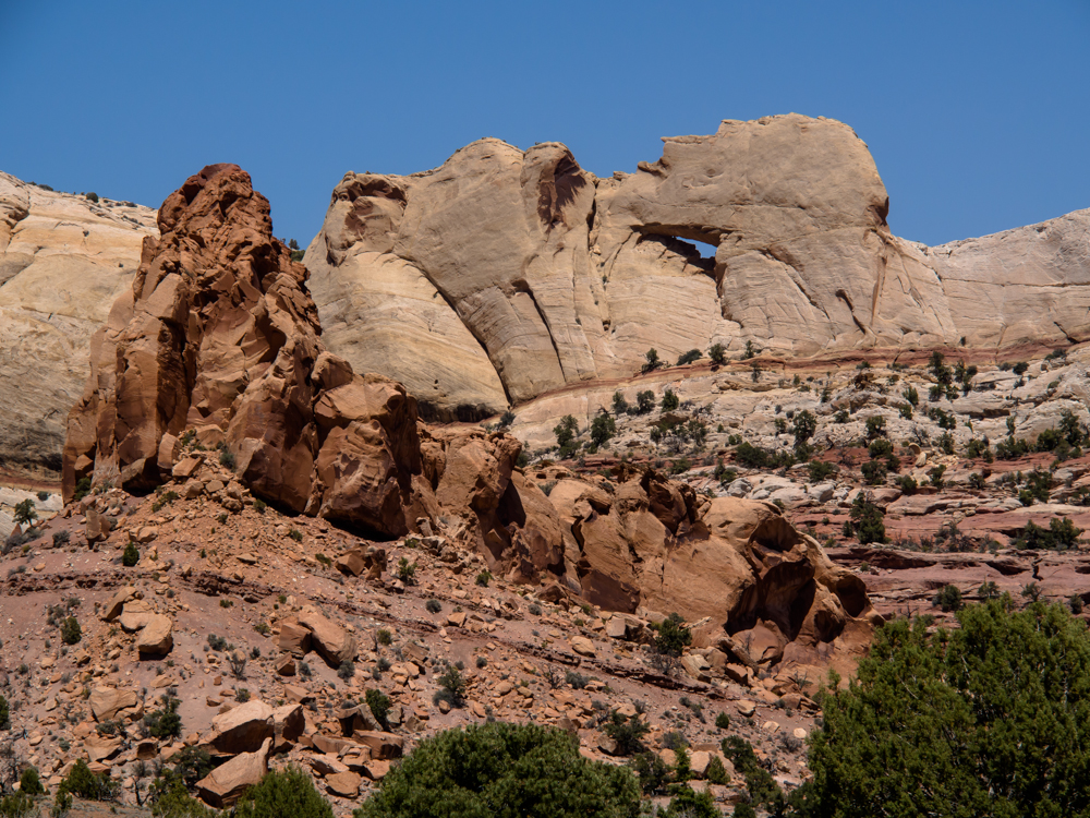
We noticed a window in the
cliff behind a large sandstone pinnacle.
The road goes right down
the face of the monocline. The grade of the road is about as steep as the angle of the
monocline. Note the camper has completed the first switchback.
We were down to 2nd gear
and used the exhaust brake for nearly the entire descent.
The road goes through the
notch in the cliff.
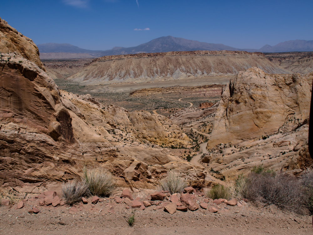
The lower reaches of the Burr Trail are visible
at the bottom of
the canyon.
When we hit the junction
at the base of the Muley Twist, we turned north and traveled along the face
of Waterpocket Fold for about 30 miles before we took a side road
into a canyon
to find a place for the night. The bottom of
Waterpocket Fold had colorful formations exposed by erosion of the
monocline.
| Previous Adventure | ||
| Trip Home Page |
Photos and Text
Copyright Bill Caid 2013, all rights
reserved.
For your enjoyment only, not for commercial use.