We left Red Fleet state park and headed north into the
Uinta Mountains. Sadly, our plans were impaired by
closed roads due
to snow. But, we came up with alternate
routes that provided great scenery.
The photos below are what we saw.
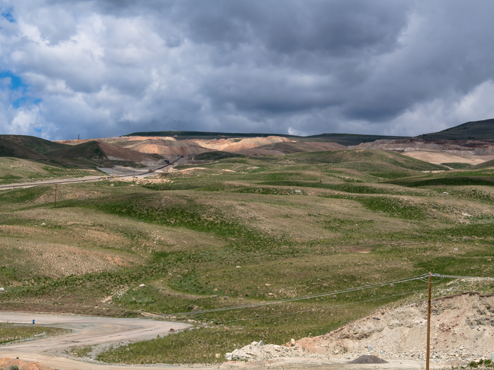
North of Vernal, UT we came to the
Simplot Potash mine. The mine covered a large area and they moved plenty of
earth to recover the minerals. The active
excavation area was several miles from the loading
point and the ore was moved via a large conveyor system visible at
the left of the photo above.
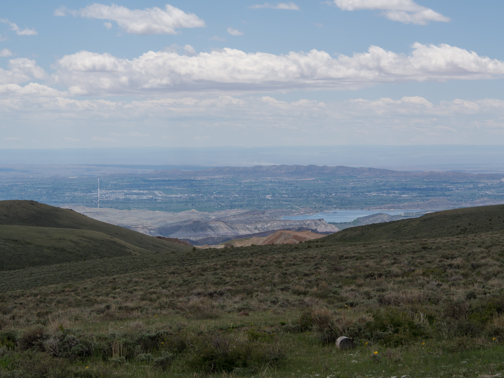
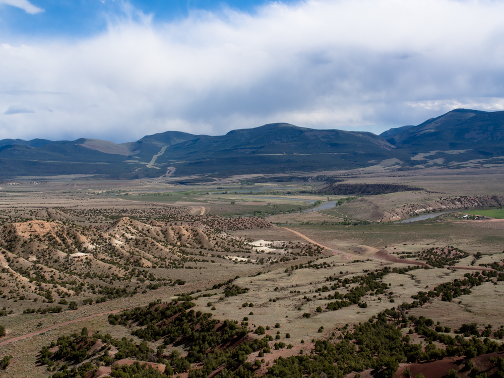
We took a turn for the Red Cloud Loop road and then
took a side trail to an overlook point. The viewpoint provided an expansive view
of the Vernal valley.
The snow-covered peaks of the Uinta Mountains
were visible on the western
horizon.
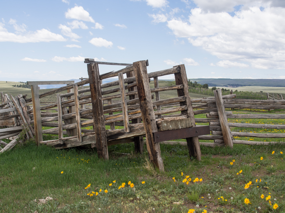
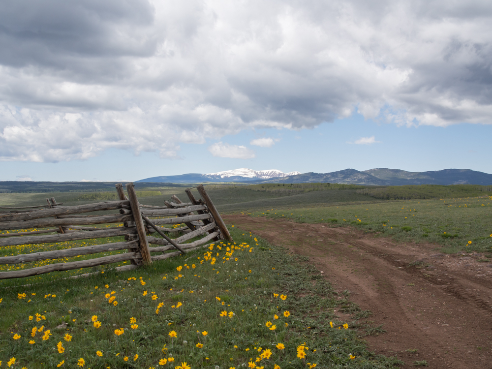
The old west is alive in the Unita. This is a
cattle loading chute used to get the cattle from the summer pastures to
market.
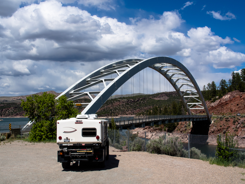
We crossed the Unita and descended into Dutch John,
UT on the north side of the mountains. On the southern end of
Flaming Gorge Reservoir is an interesting bridge that crosses
one finger of the lake.
It was blowing hard, note the whitecaps
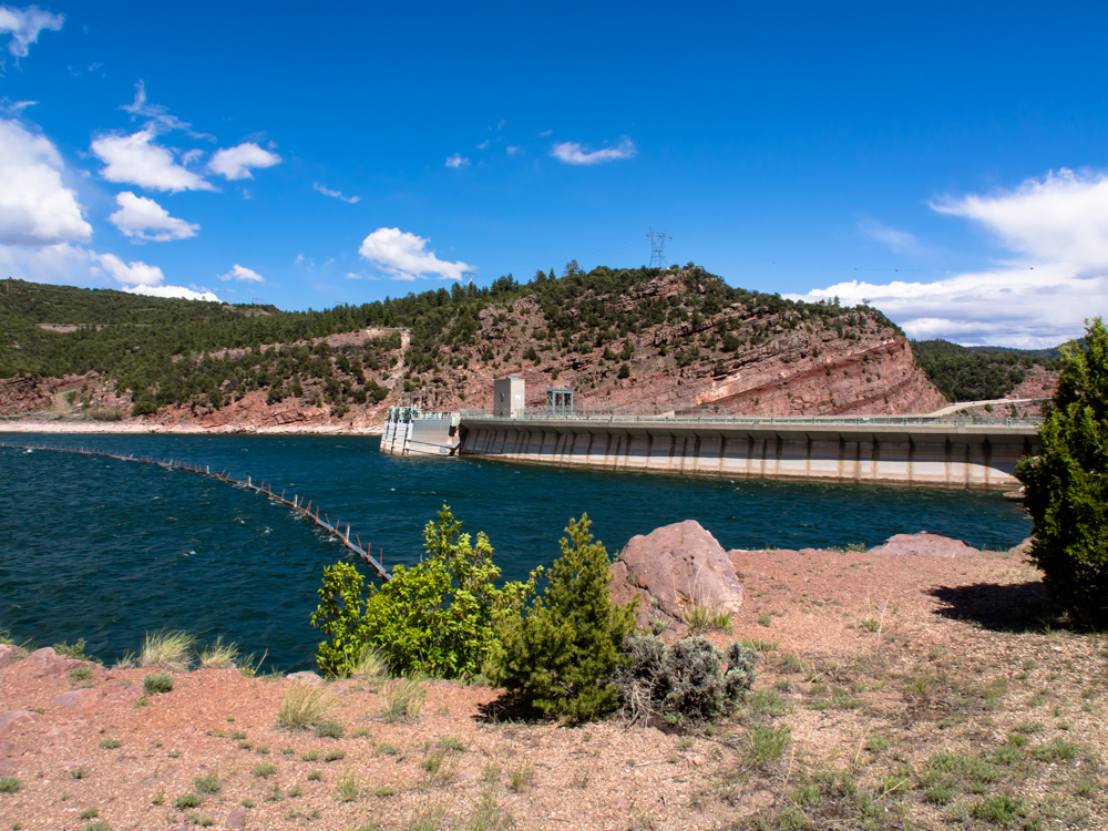
on the water. The lip of the dam is visible above the
500 foot deep reservoir. The highway crosses the reservoir
on the top
of the dam. Flaming Gorge dam backs up the Green River
and was the last
"high dam" built
by the Bureau
of Reclamation.
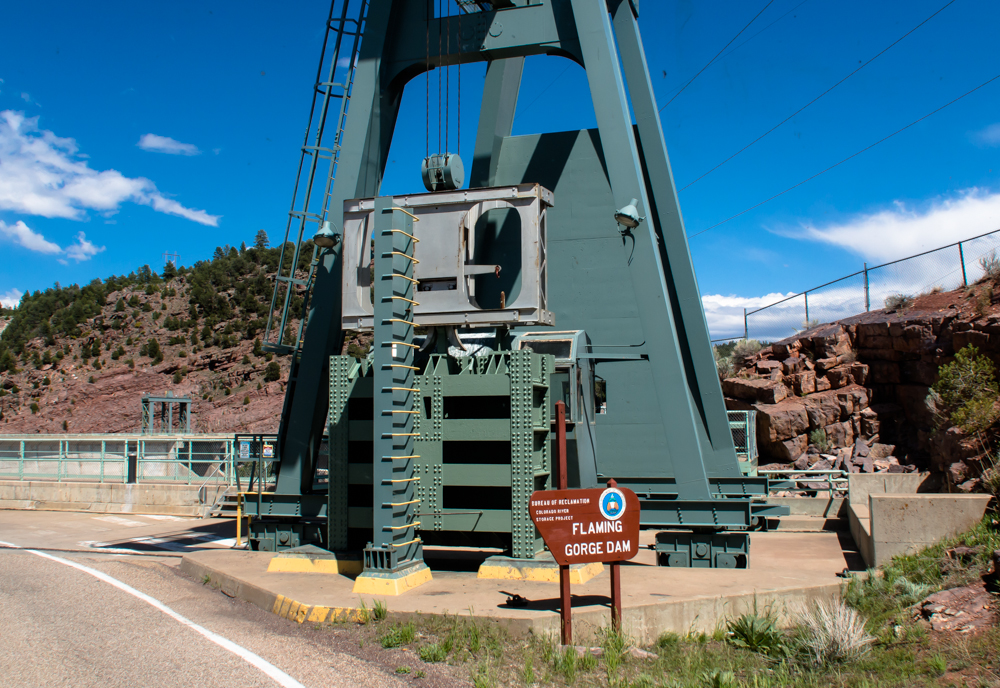
This crane is used to service the components of the dam.
The crane moves on rails to where it is needed and then moved
back out of the road.
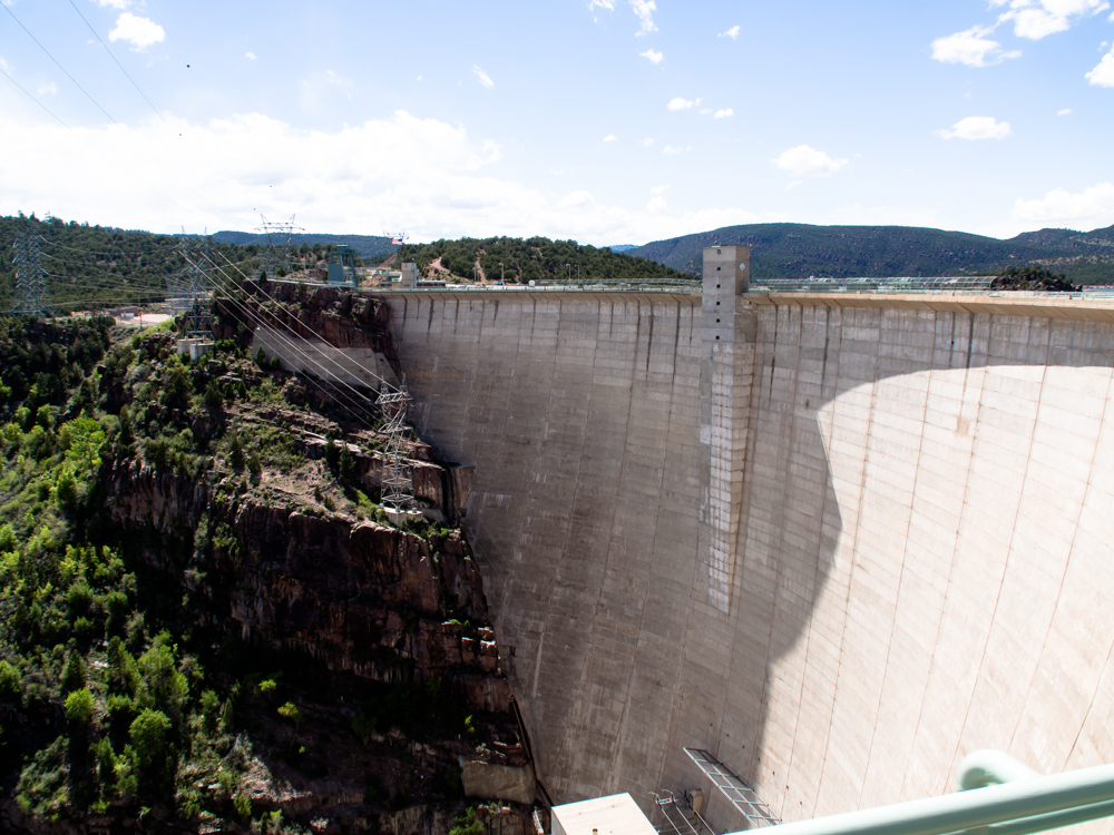
Once we crossed the top of the dam, we got
a view of the size of the structure. The powerhouse
is the structure at the bottom of the photo.
We crossed over the ridge to north of the valley
and then turned into Clay Basin. Clay Basin has many oil and gas
wells. On the exit from Clay Basin we had a
view of the Green River basin. The
stripe on the far hills is the pipeline
corridor that carries the oil and gas south over
the Unita range.
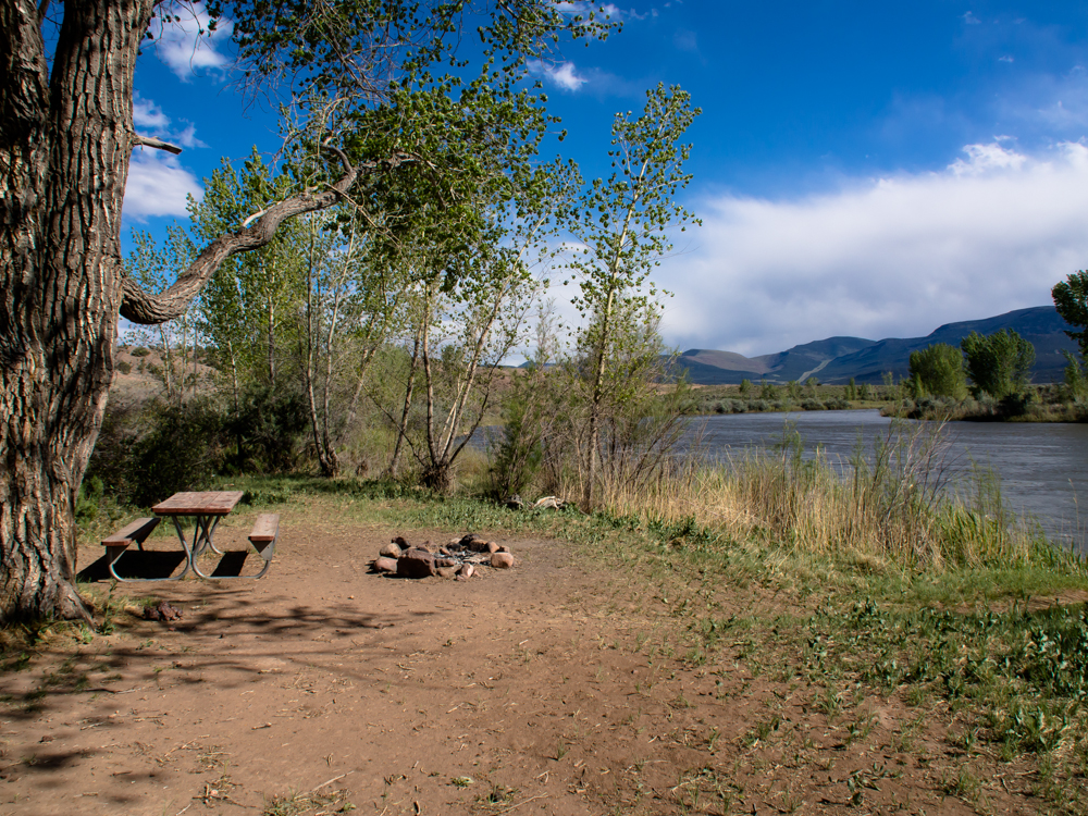
We got down to the river and found a
great camp right on the Green River. The good news was
that the site was empty and right on the river. The bad news was
that the wind was blowing 40 mph and the dust made being
outside unbearable. So, we retreated to the
camper for the evening.
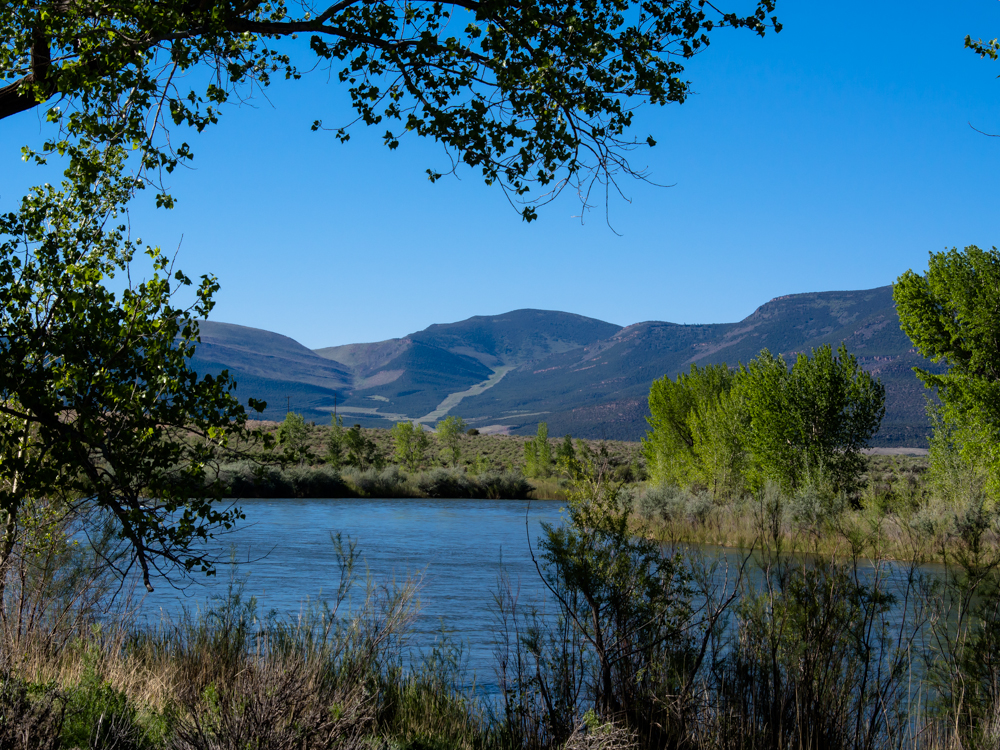
The pipeline corridor was visible on the
far ridge beyond
the fast flowing
Green River.
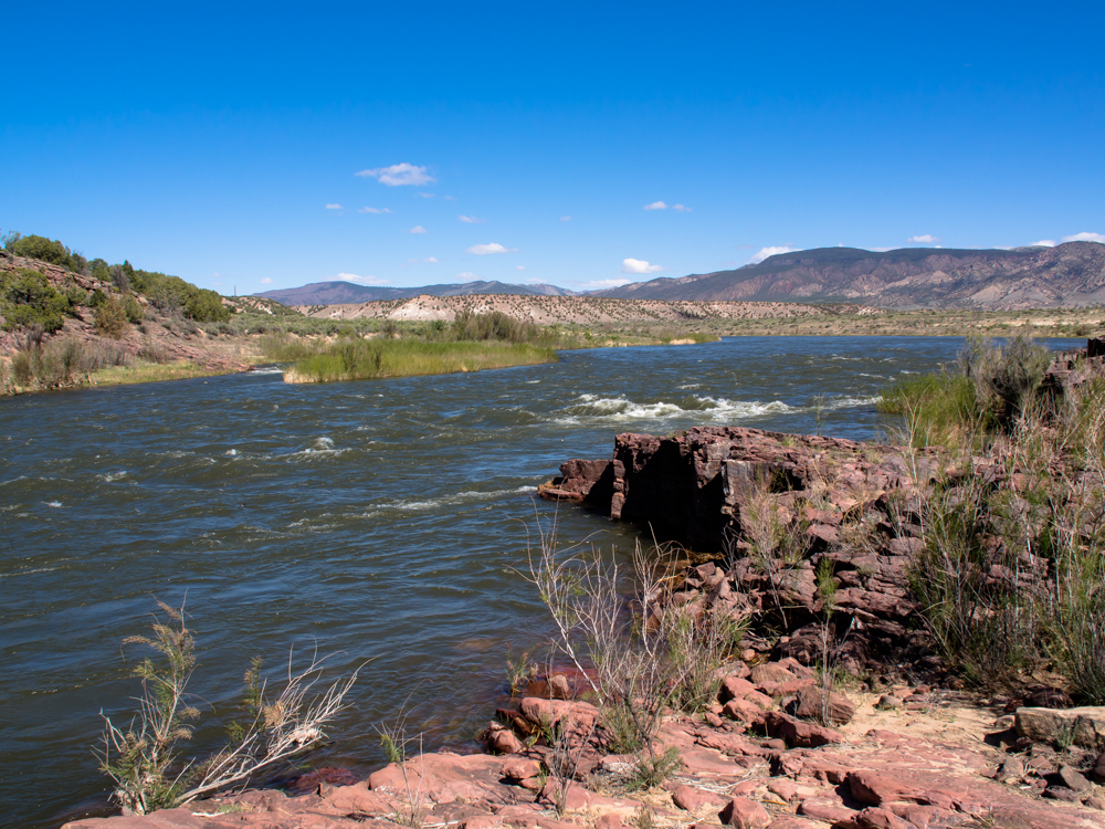
After a cold, windy night headed out. Our
first stop was a
small set of rapids near the pipeline crossing under the Green
River.
We generally followed the Green River to the Gates of Lodore. The
river cuts through the Uinta mountains leaving a huge gorge.
The Gates
of Lodore were
historically known as the point of no return for the
Powell Expedition when they first explored
the Colorado River and its canyons.
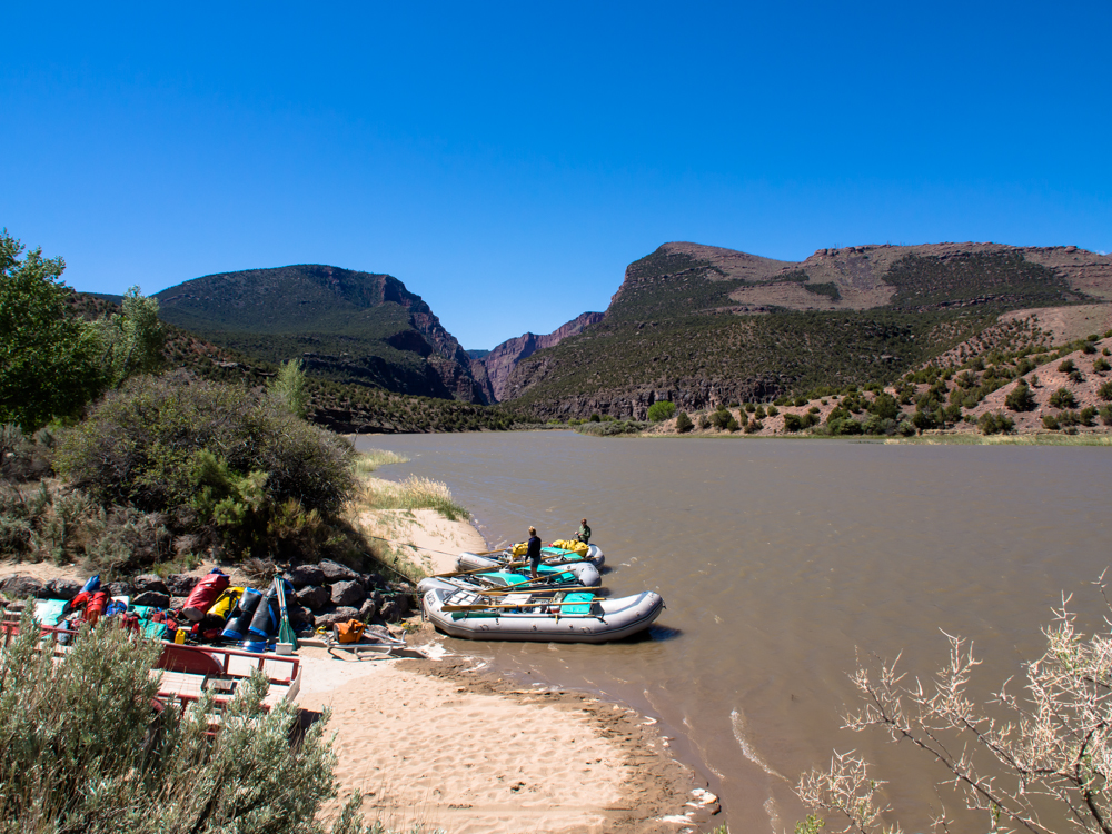
Today, it is a BLM campsite and a
common put-in site for river
rafters. Above, a group
of rafters prepare to set off down the
Green River.
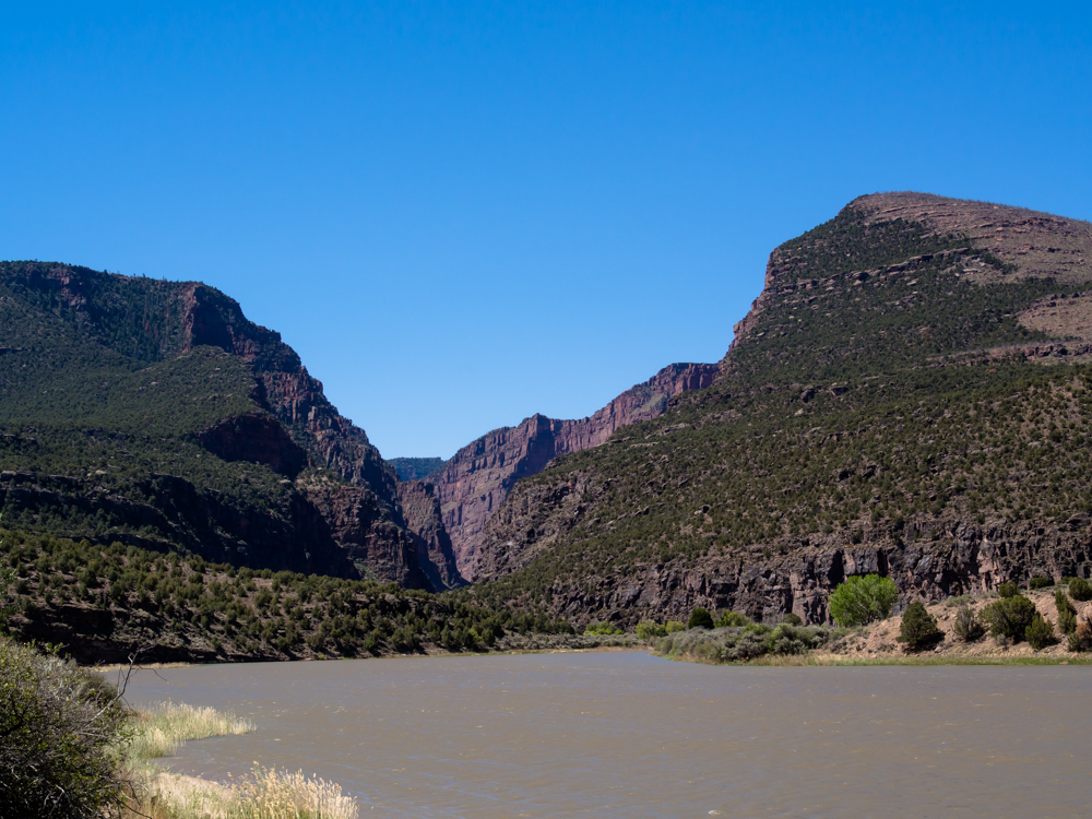
The Gates of Lodore are sizable cliffs comparable to
Marble Canyon. The Green River held its course as the Uinta
range uplifted creating the deep canyon.
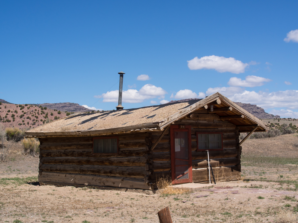
One of the old explorer's cabins at the
Gates of Lodore was converted to rentable quarters for river
rafters.
We continued generally
southeast over
multiple ridges until we got to Craig, CO. We did a
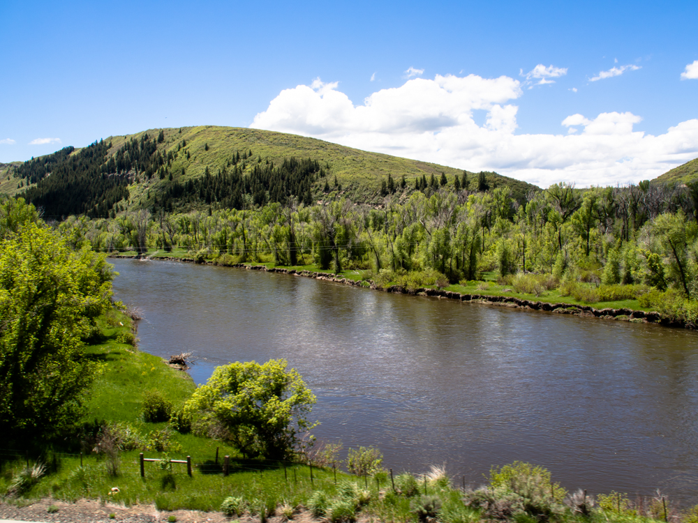
resupply in Craig and spent the night at a state park on the
Yampa River. The terrain was heavily wooded close to the river.
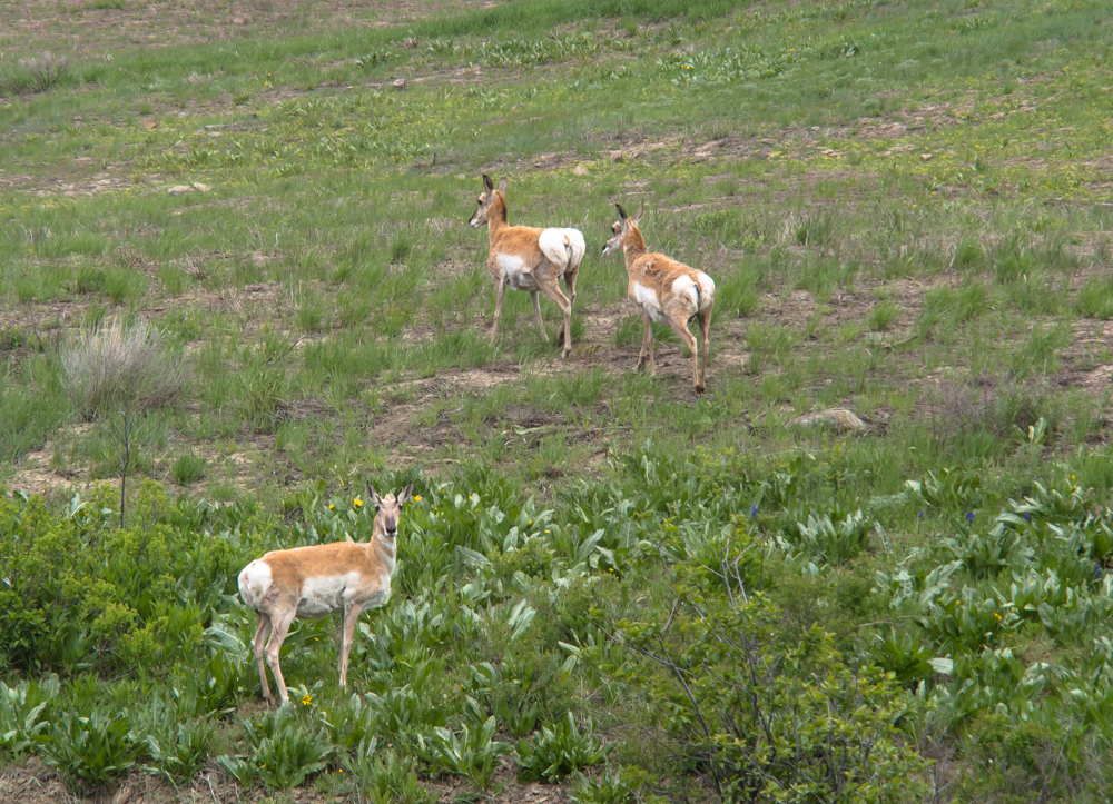
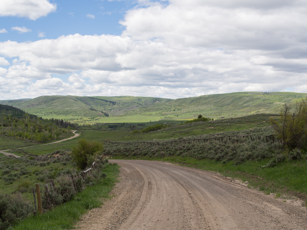
We turned north on a county road and headed into the
mountains. On the way we spotted these antelopes. The last one just stood and
stared at Thor as we passed.
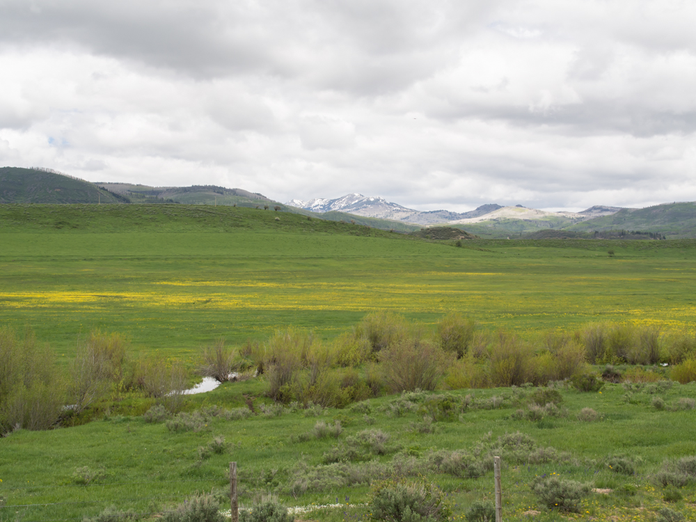
We went higher into the mountains and got nice
views of the fields and snowy mountains.
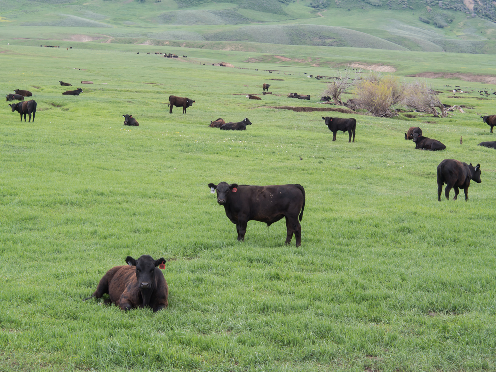
The high meadows were heavily used for
cattle ranching. We passed many good-sized herds.
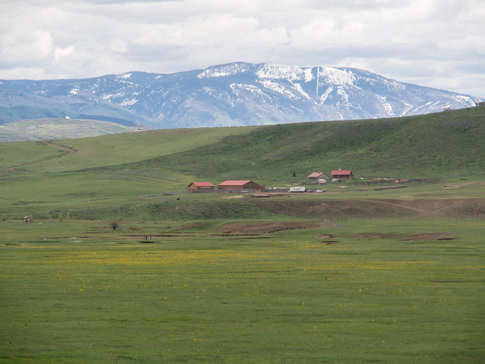
In the distance to the east we got a view
of the ski runs at Steamboat Springs.
We stopped at a local cafe near Steamboat Lake for
chow. After lunch, we continued north further into
the hills and spotted a small logging operation.
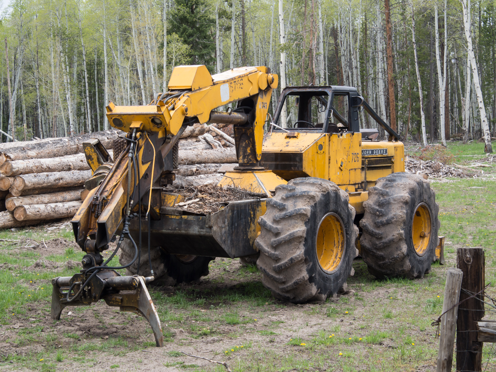
This device is a log loader.
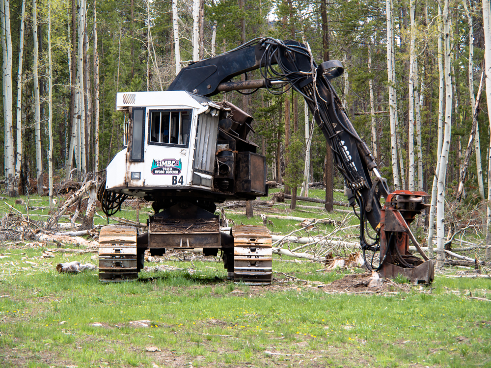
This device cuts the trees and then
places the logs in a pile for later retrieval.
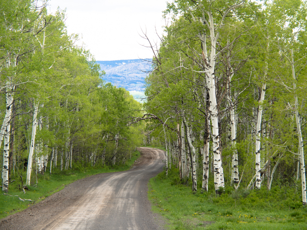
Our path took us through nice stands of Aspen trees.
As we descended into the valley at the
Wyoming border, we saw something unexpected. We came to a sign for the
Three Forks Ranch. The ranch had plenty of free cash as could be seen
from the miles of fence. It turns out that the ranch
has (at least) the entire mountain in the distance as
well as the valley.
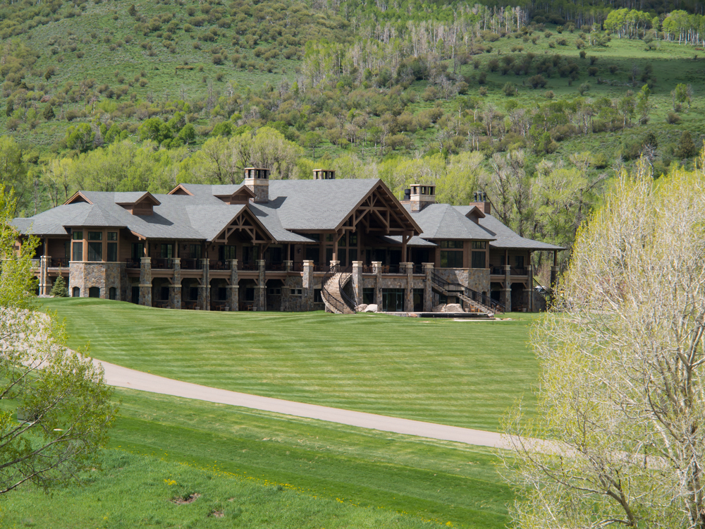
We finally came to to the Three Forks ranch
house. This place has nothing on the Hearst Mansion. We
were blown away by the scope of their operations as well
as the size of the house.
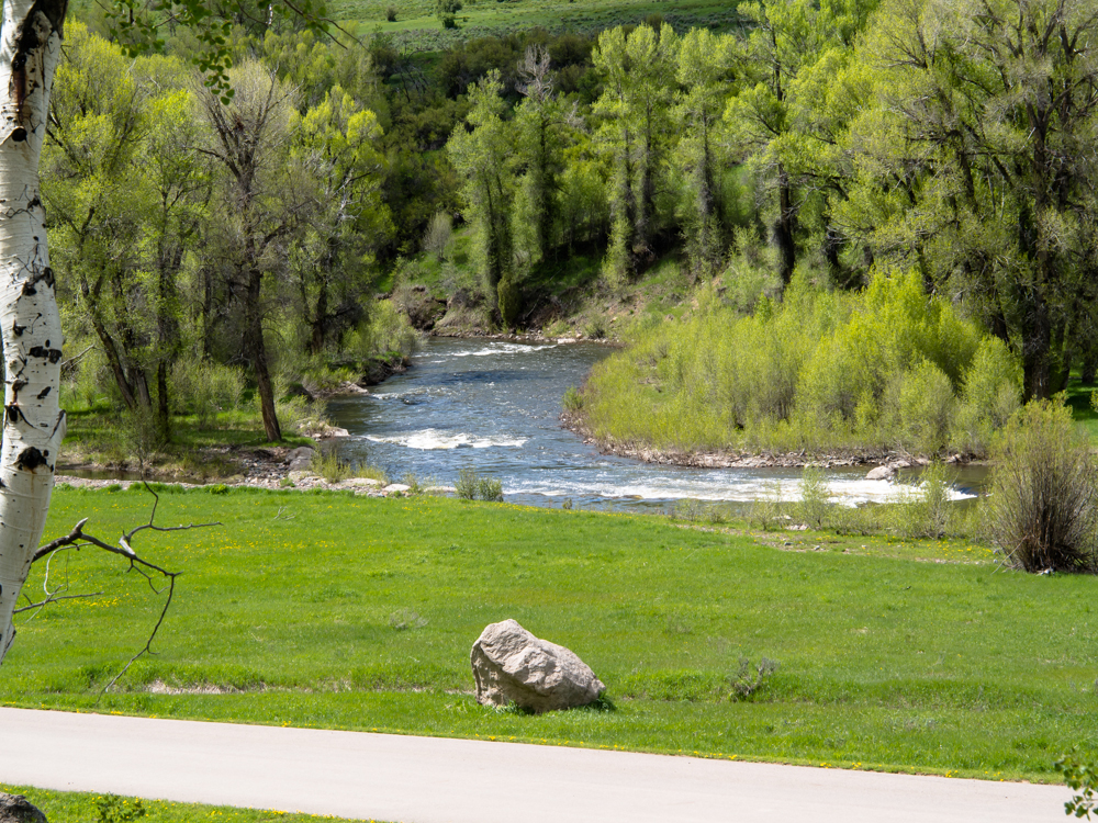
The mansion sat next to the Little Snake
River.
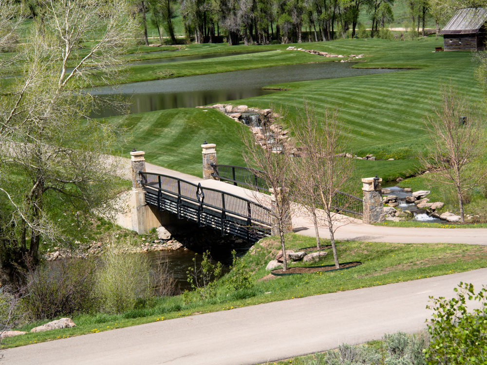
The mansion had a small lake in front
just across the bridge with custom iron-work.
Our heads exploded when we saw the Three
Forks Ranch. We continued on until we hit the blacktop, then headed
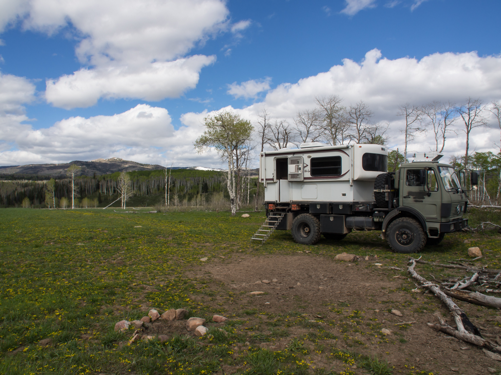
east for a bit, then north. We found a nice spot for the
night in a broad meadow.
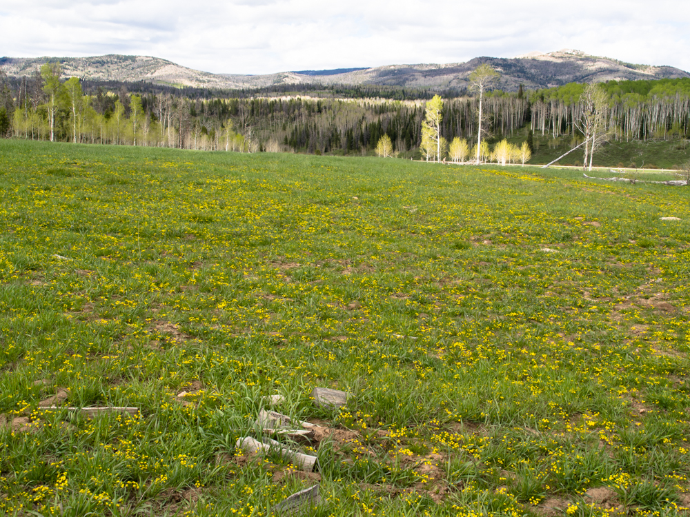
The meadow had nice yellow flowers and a
great view of the mountains beyond.
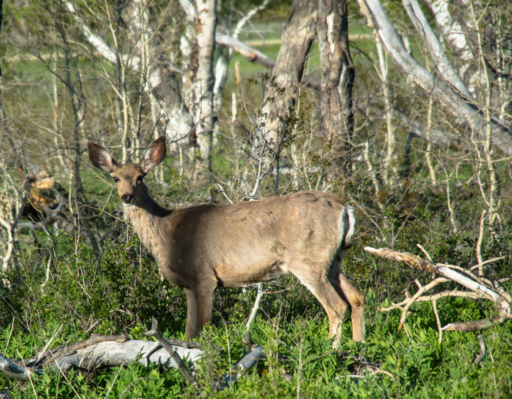
This doe came by to investigate us.
She got close, but kept her distance and came back several times.
| Previous Adventure | ||
| Trip Home Page |
Photos and Text Copyright Bill Caid 2013,
all rights reserved.
For your enjoyment only, not for commercial use.