We spent the night in a mountain meadow at the
base of Bridger Peak. It was cold and somewhat
windy, but otherwise it was a good camp. Next
morning, we continued
north on the dirt county road toward Rawlins, WY for a resupply and then north again
to Pathfinder Reservoir.
The photos below are what we saw.
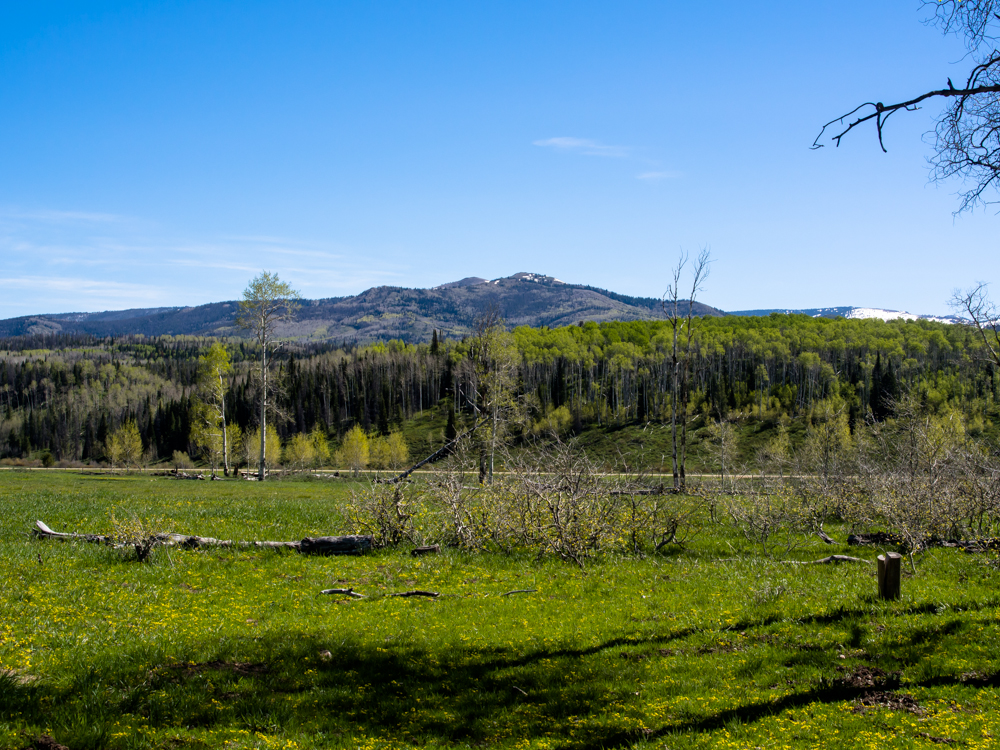
11,000+ foot Bridger
Peak is
visible in the distance from our camp.
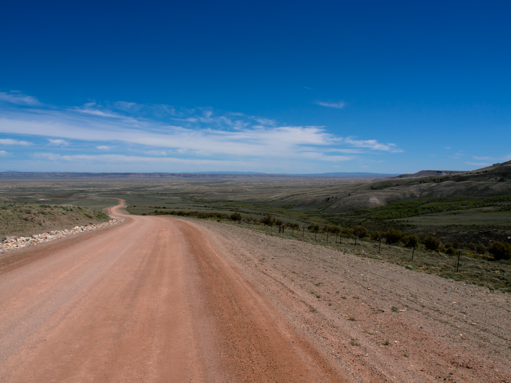
We
continued north on the dirt track and eventually left the
forested highlands for the plains below.
Escarpments resulting from erosion were
visible on the horizon. The vehicle at the side of the
road is some kind of testing lab
for the road construction that has been happening. Note
the nice crushed rock
erosion prevention channels at the side of the
road.

We
continued north to Rawlins, WY. I am sorry, but there is no
way to put a happy face on Rawlins. It is a God-forsaken,
wind-swept wide spot in the road that would not be there
except for the Union Pacific Railroad. We
did a re-supply and then headed north toward
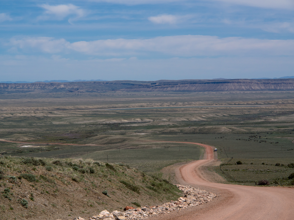
Pathfinder Reservoir and got a lesson in
map-data-quality. Our map (a Delorme
Atlas, which is not our preferred
vendor) showed a county road that
went from the main highway to
the reservoir. The
road started out bad and
deteriorated rapidly eventually degrading to a
trench in the sand
dunes that comprise the
terrain. We eventually were forced to go
into four-wheel-drive
because the deep
unconsolidated sand was
causing us to bog
down. The path followed some oil
pipelines and eventually
degraded
to two ruts. But,
oddly the country road signs
were still there.
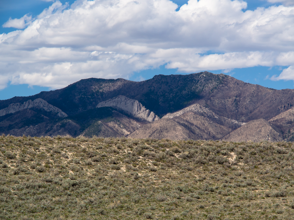
The Ferris Mountains showed evidence of
uplifting and exposed some large layers of light-colored
sandstone.
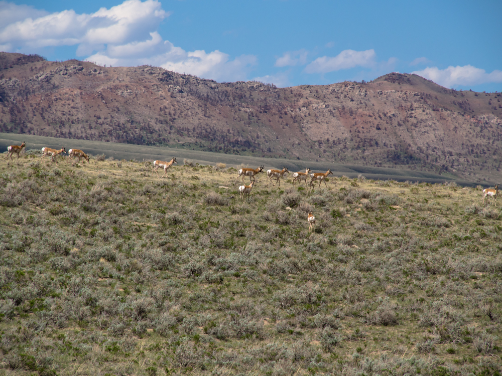
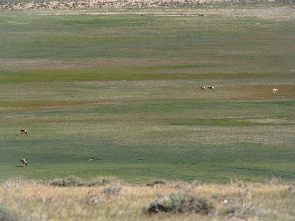
As
we crossed through the backcountry areas, we encountered many herds of western
pronghorn antelope, which I refer to as "pillowbutts".
The fluffy white fur on their rumps
distinguish the breed and make them visible
from long distances. This herd watched as
Thor approached then bolted
in unison when it became
too scary for them.
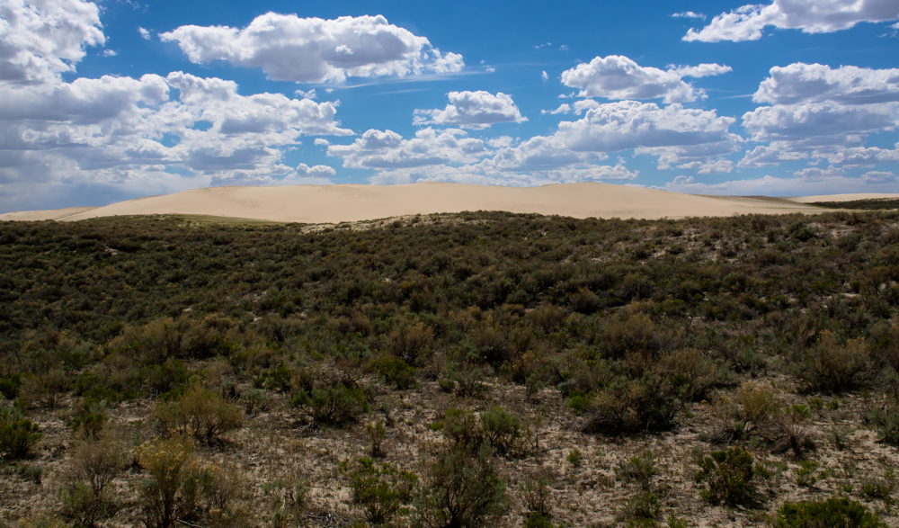
The
trail passed through very sandy terrain that reminded me of Mexico,
but at 7,000 feet altitude. There were significant sand dunes
alongside our path.
The
route to
Pathfinder reservoir was a bit more than we expected. Succinctly
put, it beat the shit out of us and both of
us were very ready to
make it to camp. Mid-way into the
hammering I jokingly said to
Kathleen "...the only thing that
would make this better is the
reservoir to be
dry.". Oops, wrong thing
to say. When we made it to our
destination, and guess
what? The reservoir was
not actually dry, but
rather "at a very
low level" where
the water was several
miles from
the end of the
trail. Since
it was past
1800 and we
were both
tired, we
found a place
on a point
that
overlooked the
previous
reservoir and
dropped
anchor.
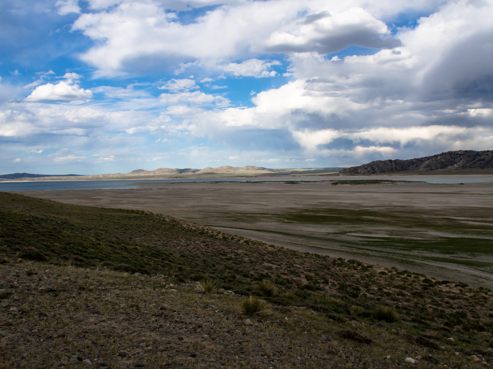
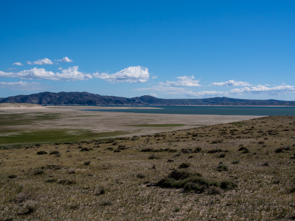
Above is a
view looking
northeast
across the
reservoir
basin.
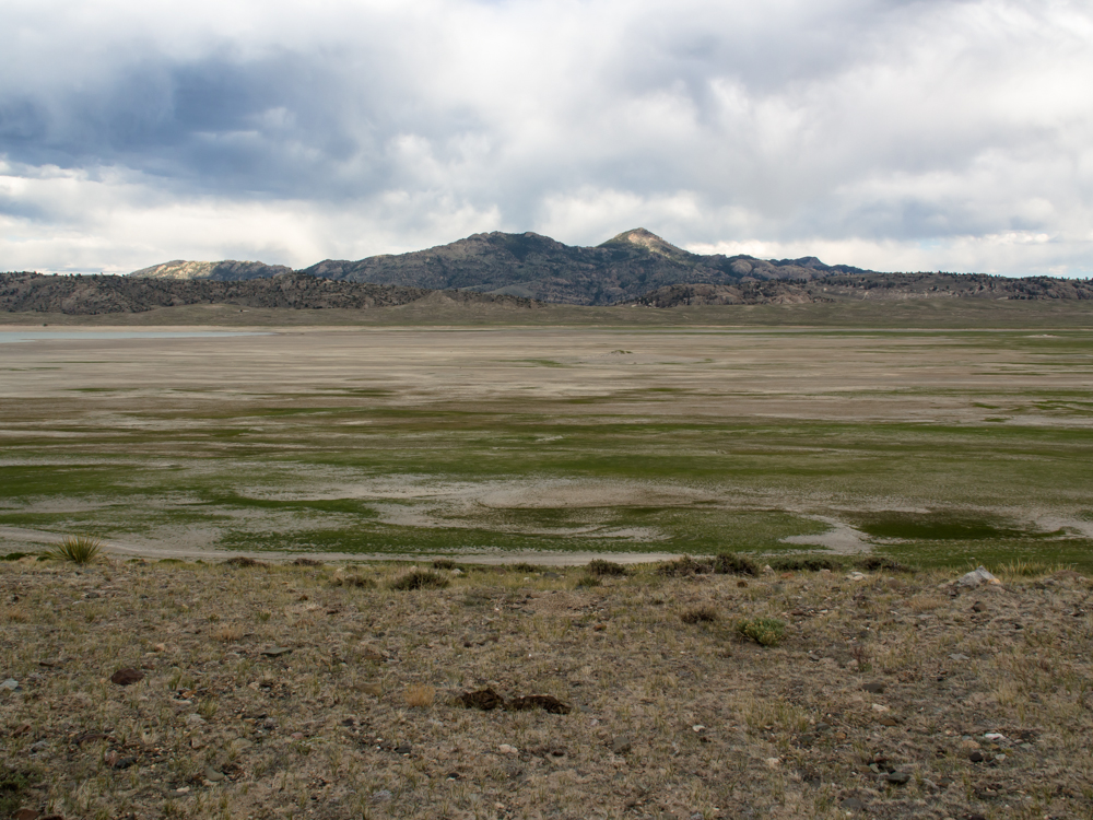
Looking to the east it is easy to see
where the lake had
been.
There
was still water
in the reservoir, but it was miles distant and to reach it would
have required crossing treacherous mud flats. So,
our camp on the ridge with the 360 degree view was a
fine substitute.
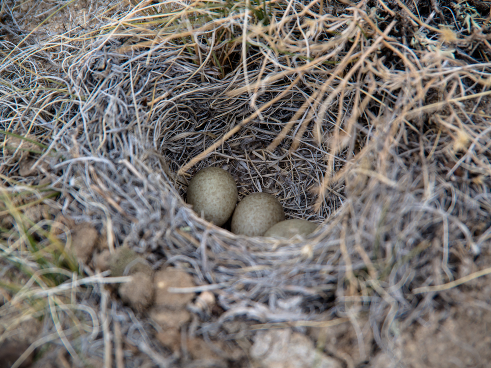
While
Kathleen chose
the perfect spot to park that was flat, she spotted this
nest of a ground bird. There were three eggs
present.
We did not touch them and gave the nest wide berth.
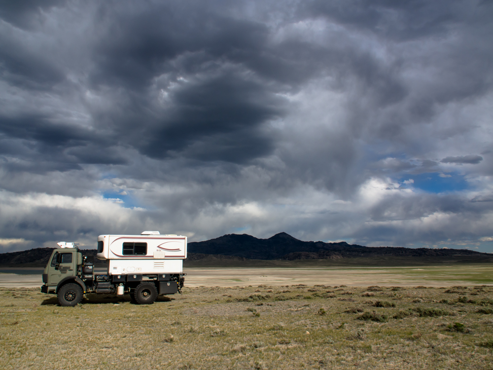
The clouds were coming in and the wind was
howling. It has been windy for the past week.
Every day. All day. All night. But, now
the wind has increased in velocity to perhaps 40
mph. Later in the evening, Thor's camper was rocking so hard that
we strongly considered repositioning the truck so
the nose
was into the wind to prevent a roll-over. We
elected
to take no action and we did not roll.
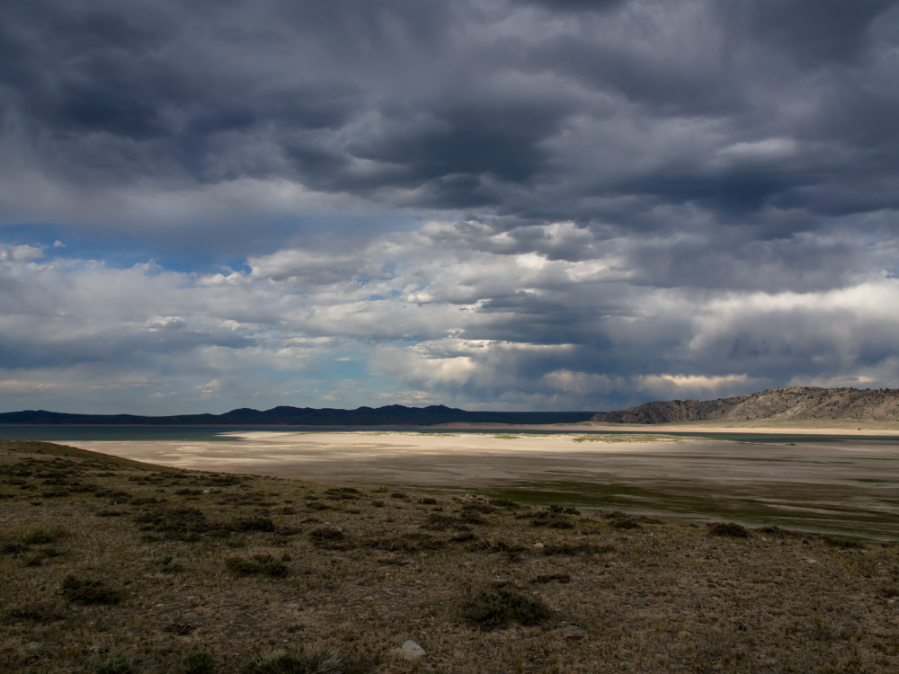
The
fading sun provided interesting illumination of the
exposed bottom of the reservoir.
Next
morning it was still blowing
as hard or harder than the night before. As we broke camp, I
got a nice view of the antelopes grazing on
the lake bed below.
The
distant water was clearly visible in the morning
light. We continued north and then northwest to
another county road that crossed the Rattlesnake Hills.
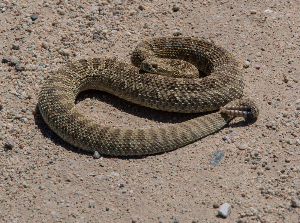
You cannot make this stuff up. In an
area called the
Rattlesnake Hills we spotted
no less than 4 rattlesnakes from the dirt road. This one was
in the center, so I stopped and got the photo
above. This snake was pissed and was
hissing like there was no tomorrow.
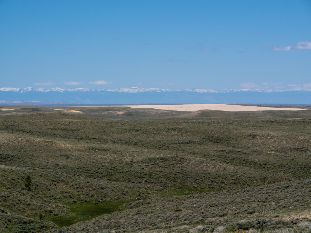
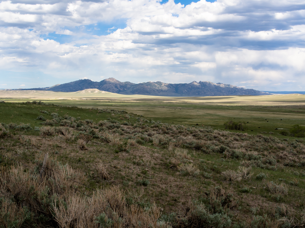
As
the road crested near Bald Mountain, we got a commanding view of Wind
River Range to the west. The light-colored area
in the photo above are sand dunes.
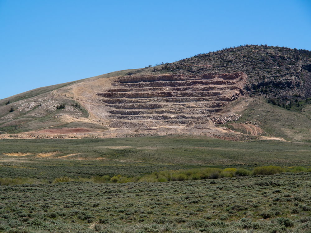
Just
past the crest, we passed a quarry that was used to
produce the crushed stone for the county road.
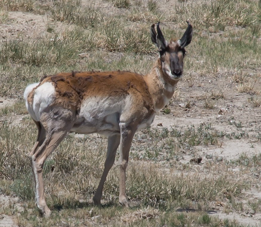
Near
our return to the blacktop,
we spotted this pillowbutt next to the road.
Look at the veins standing out on his
rear legs! These 'lopes can really run.
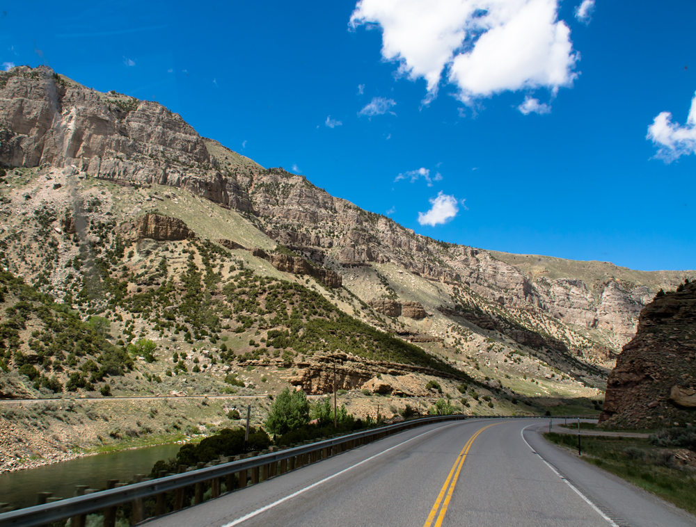
We turned to the northwest and took the highway past
Shoshoni and
into the Wind River Canyon. The river cut a deep gorge
through the mountain.
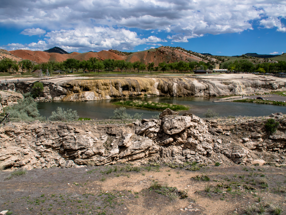
We decided that we would spend the night in Thermolopis,
WY. Hot
Springs
State Park is at the springs at Thermopolis so we
decided to give it the once-over. The flow
stone on the banks of the river are from the
depositions of the hot springs.
Note the remnants of
the anticline in the
distance.
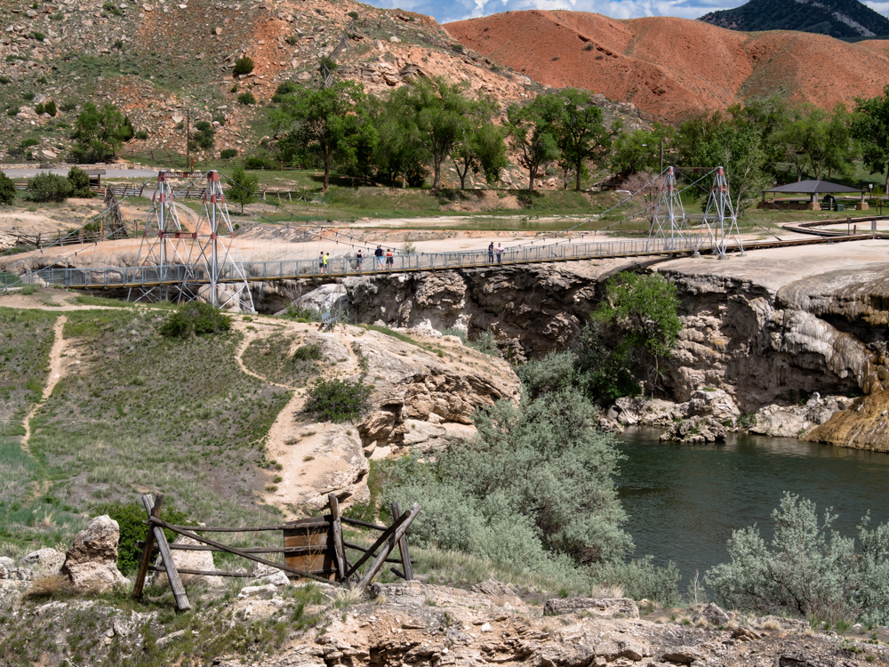
A
suspension
bridge was built in 1916 to allow crossing the Wind River. It has been
rebuilt several times since then but is
still available to foot traffic.
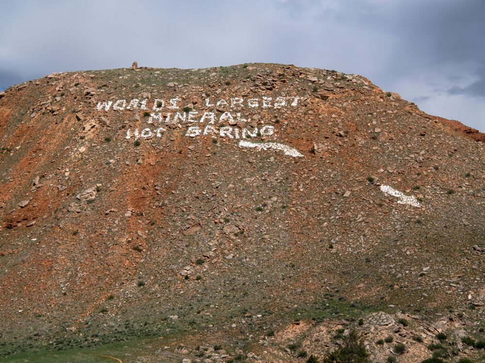
The
painted rocks advertise the hot springs.
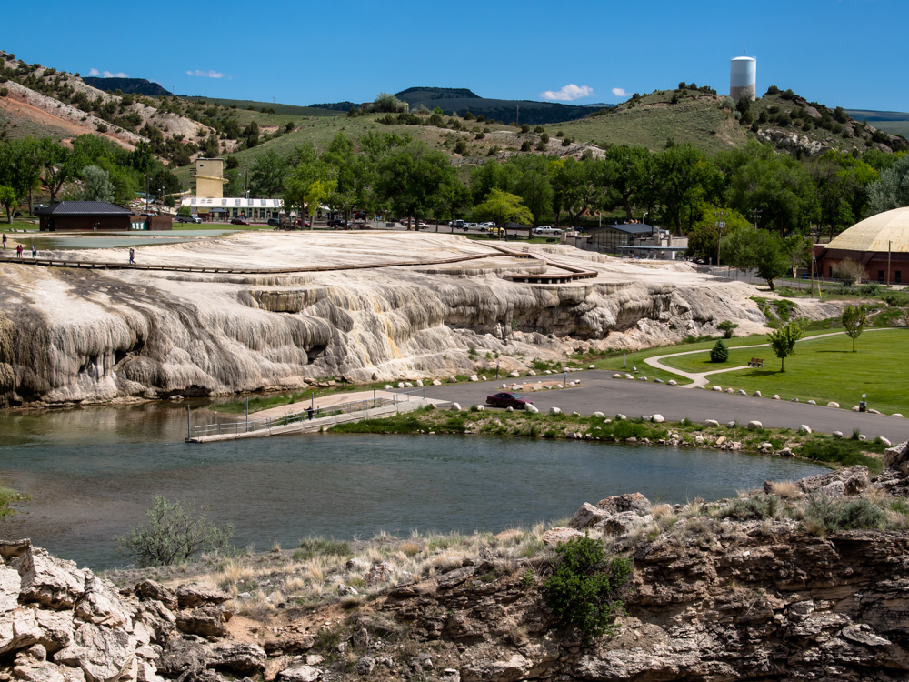
The
flow stone has left large deposits around the hot springs.
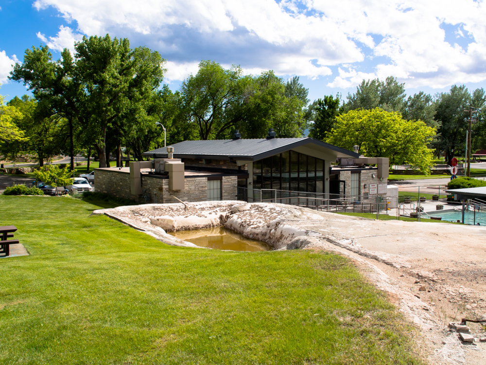
Wyoming
has built a
"state bath house" around the spring. The baths were free and the
place was nice
and clean. And, the water was hot, about 104 degrees.
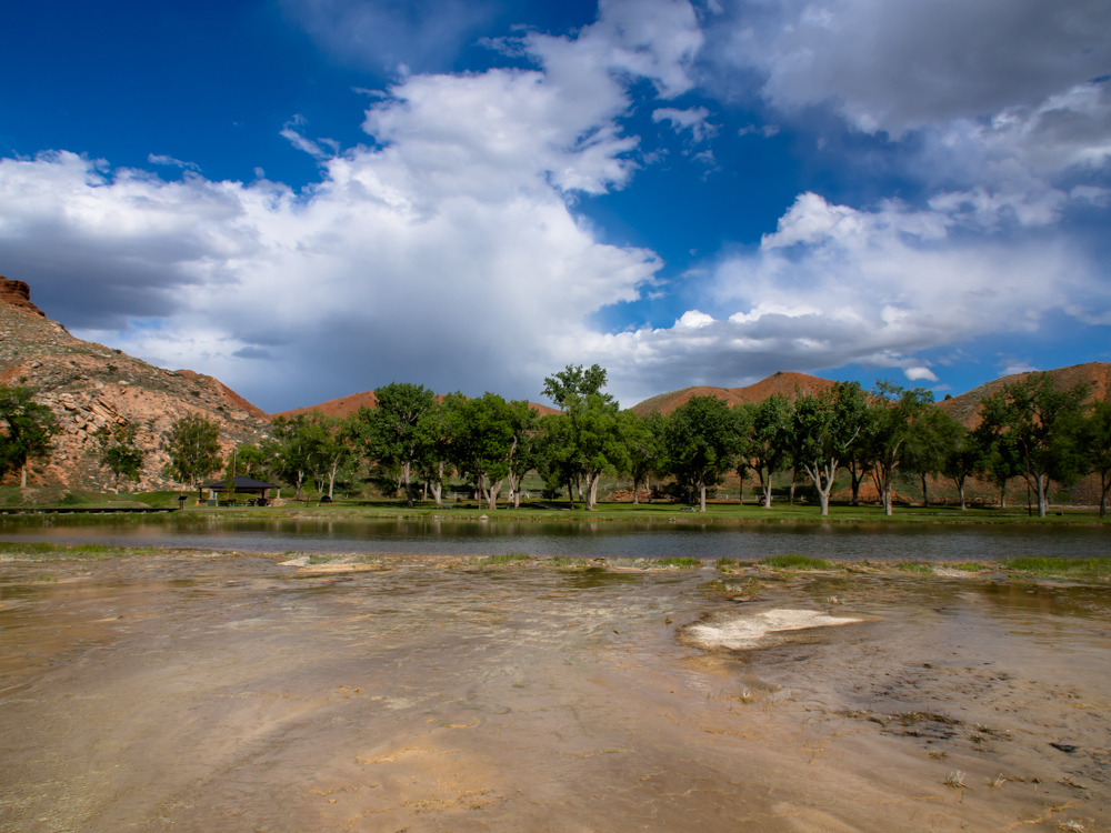
The
winds were blowing clouds over our position. The excess
flow from the hot spring was diverted to some ponds that
nourished a large grove of trees. The excess flow continued
over the flats
of the deposition
basin.
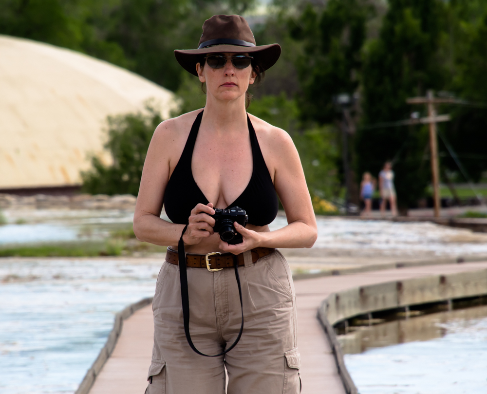
Kathleen
was focused as she prepares to take a photo with my Fuji X10 camera.
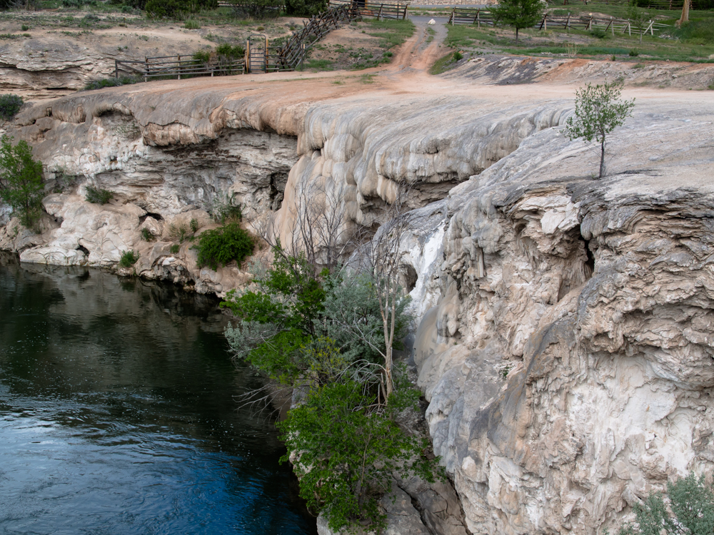
The
flow stone
deposits went right into the Wind River.
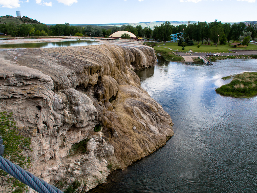
Beyond
the flow stone
is a water
slide that provides
entertainment for the children.
| Previous Adventure | ||
| Trip Home Page |
Photos and Text Copyright Bill Caid 2013,
all rights reserved.
For your enjoyment only, not for commercial use.